Off-Road Trails in Missouri
Discover off-road trails in Missouri
Learn more about Perkins Ridge - FS 423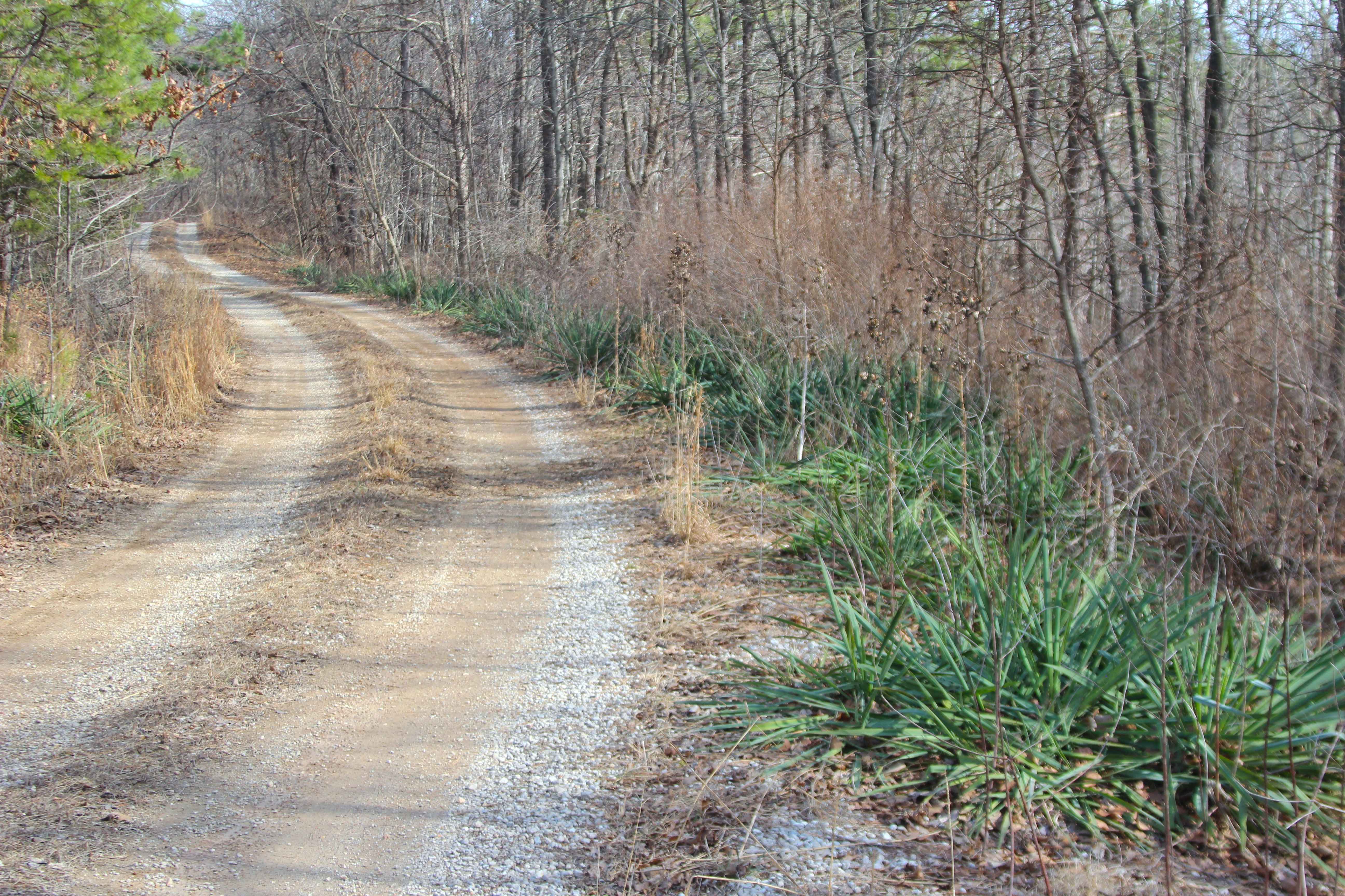
Perkins Ridge - FS 423
Total Miles
1.3
Tech Rating
Easy
Best Time
Spring, Summer, Fall, Winter
Learn more about Pet Hollow - FS 507A
Pet Hollow - FS 507A
Total Miles
0.7
Tech Rating
Easy
Best Time
Spring, Summer, Fall, Winter
Learn more about Peter Cave Hollow 2363
Peter Cave Hollow 2363
Total Miles
6.4
Tech Rating
Easy
Best Time
Spring, Summer, Fall
Learn more about Peter Pan
Peter Pan
Total Miles
0.1
Tech Rating
Easy
Best Time
Spring, Summer, Fall, Winter
Learn more about Pigeon Roost Road - WCR 603
Pigeon Roost Road - WCR 603
Total Miles
11.0
Tech Rating
Easy
Best Time
Spring, Summer, Fall, Winter
Learn more about Pine Union Hill FSR 2137
Pine Union Hill FSR 2137
Total Miles
0.4
Tech Rating
Moderate
Best Time
Spring, Fall
Learn more about Pine Union Hilltop FSR 2137
Pine Union Hilltop FSR 2137
Total Miles
1.7
Tech Rating
Easy
Best Time
Summer, Spring, Fall, Winter
Learn more about Pine Union Spur A FSR 2137A
Pine Union Spur A FSR 2137A
Total Miles
0.9
Tech Rating
Easy
Best Time
Spring, Fall
Learn more about Pine Union Spur B FSR 2137B
Pine Union Spur B FSR 2137B
Total Miles
0.8
Tech Rating
Easy
Best Time
Spring, Fall, Winter
Learn more about Piney Ridge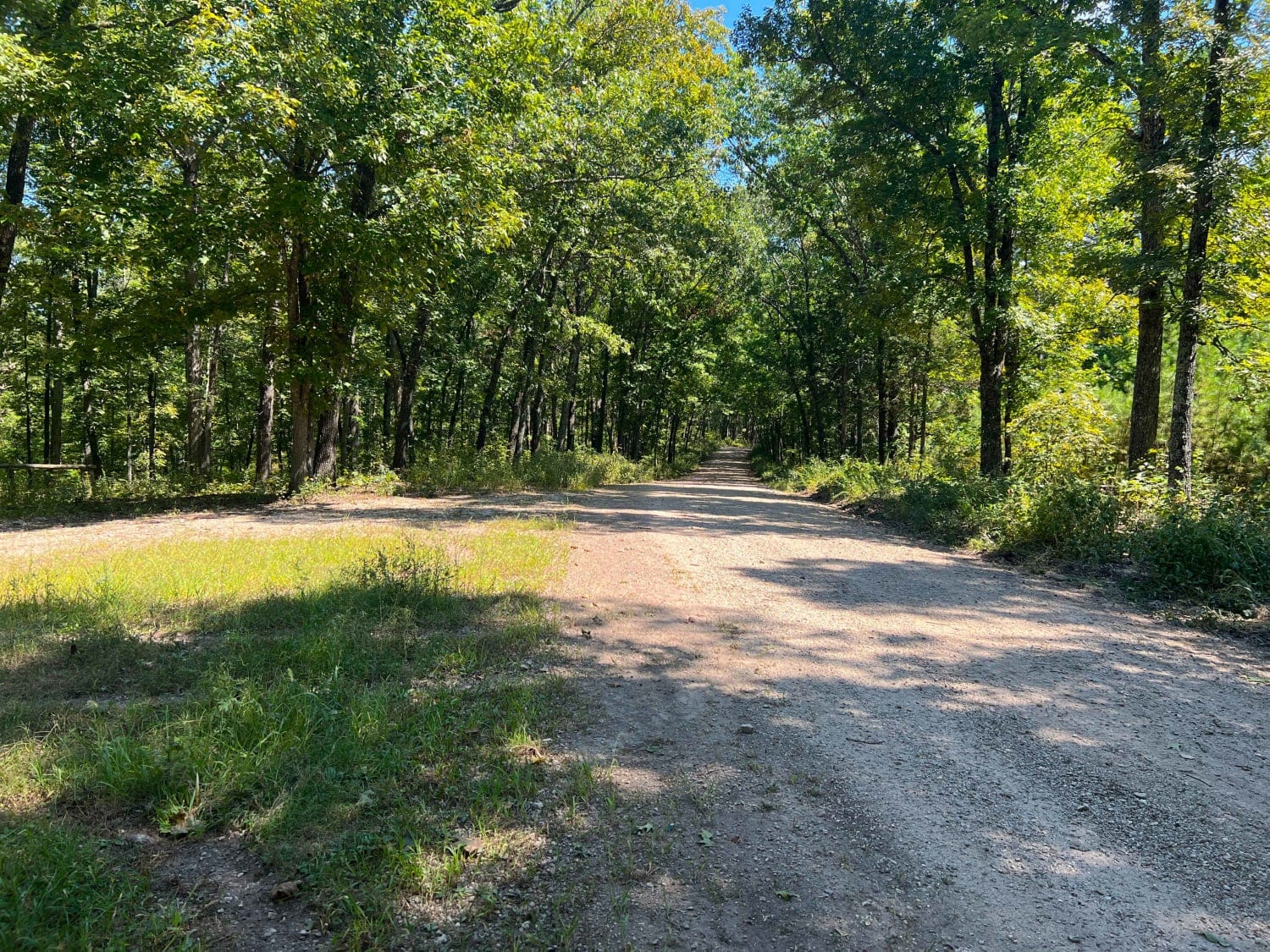
Piney Ridge
Total Miles
5.1
Tech Rating
Easy
Best Time
Spring, Summer, Fall, Winter
Learn more about Pioneer Trail 99
Pioneer Trail 99
Total Miles
0.1
Tech Rating
Moderate
Best Time
Spring, Summer, Fall
Learn more about Pleasant Grove Church - FS 2524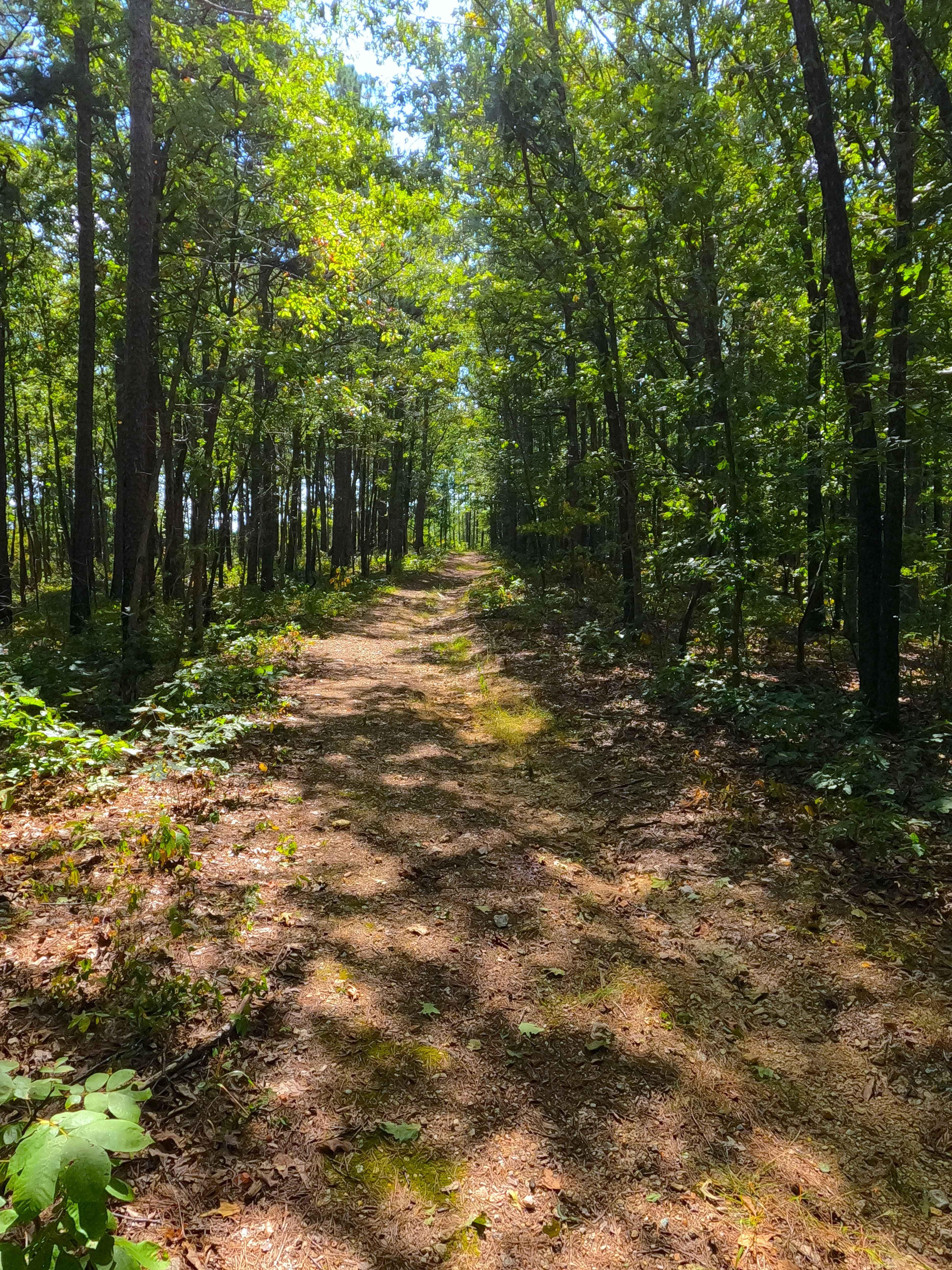
Pleasant Grove Church - FS 2524
Total Miles
0.5
Tech Rating
Easy
Best Time
Spring, Summer, Fall, Winter
Learn more about Pocket Eddy Ford - FS 1792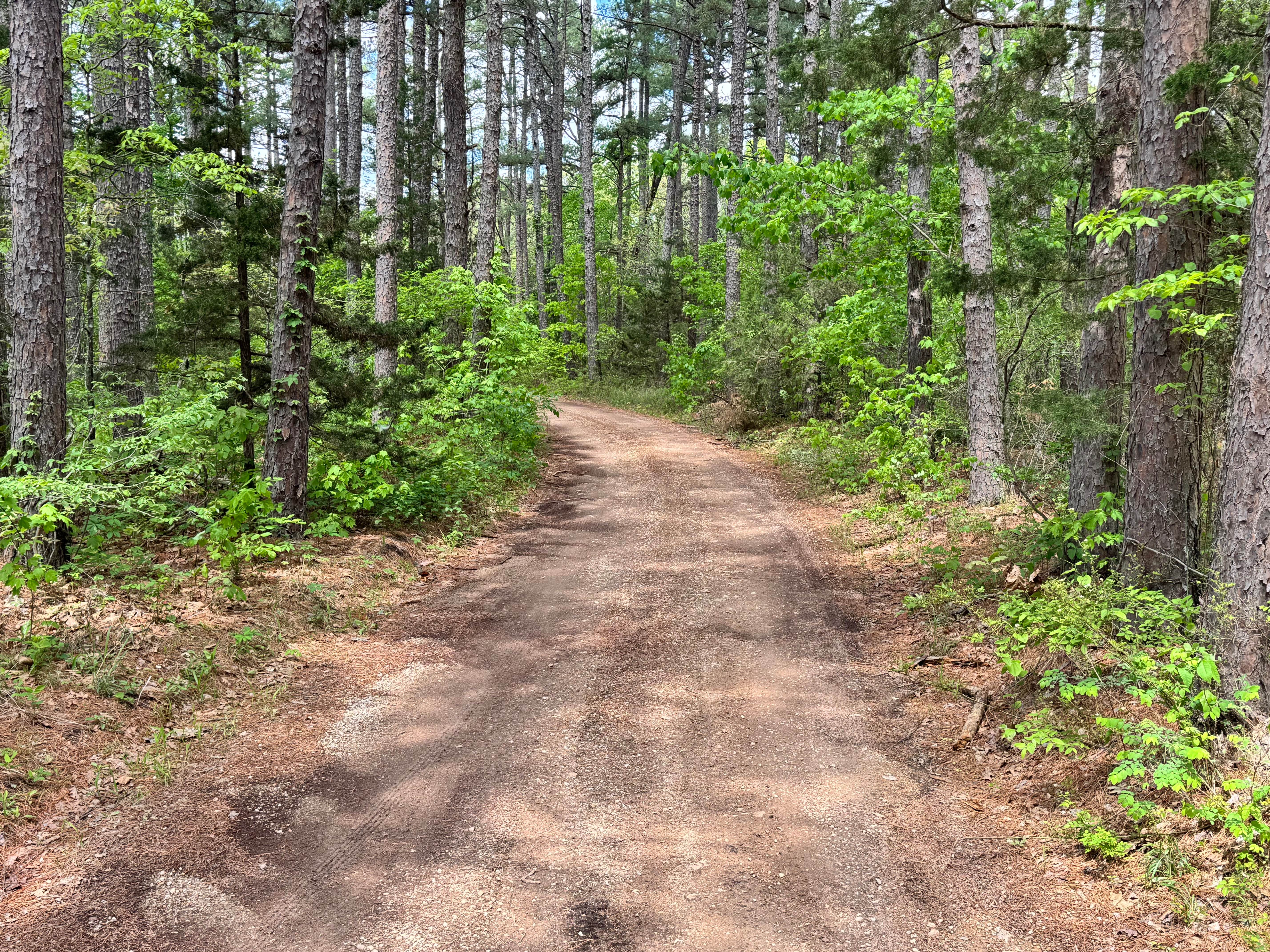
Pocket Eddy Ford - FS 1792
Total Miles
2.8
Tech Rating
Easy
Best Time
Spring, Summer, Fall, Winter
Learn more about Pocket Eddy Ford Spur A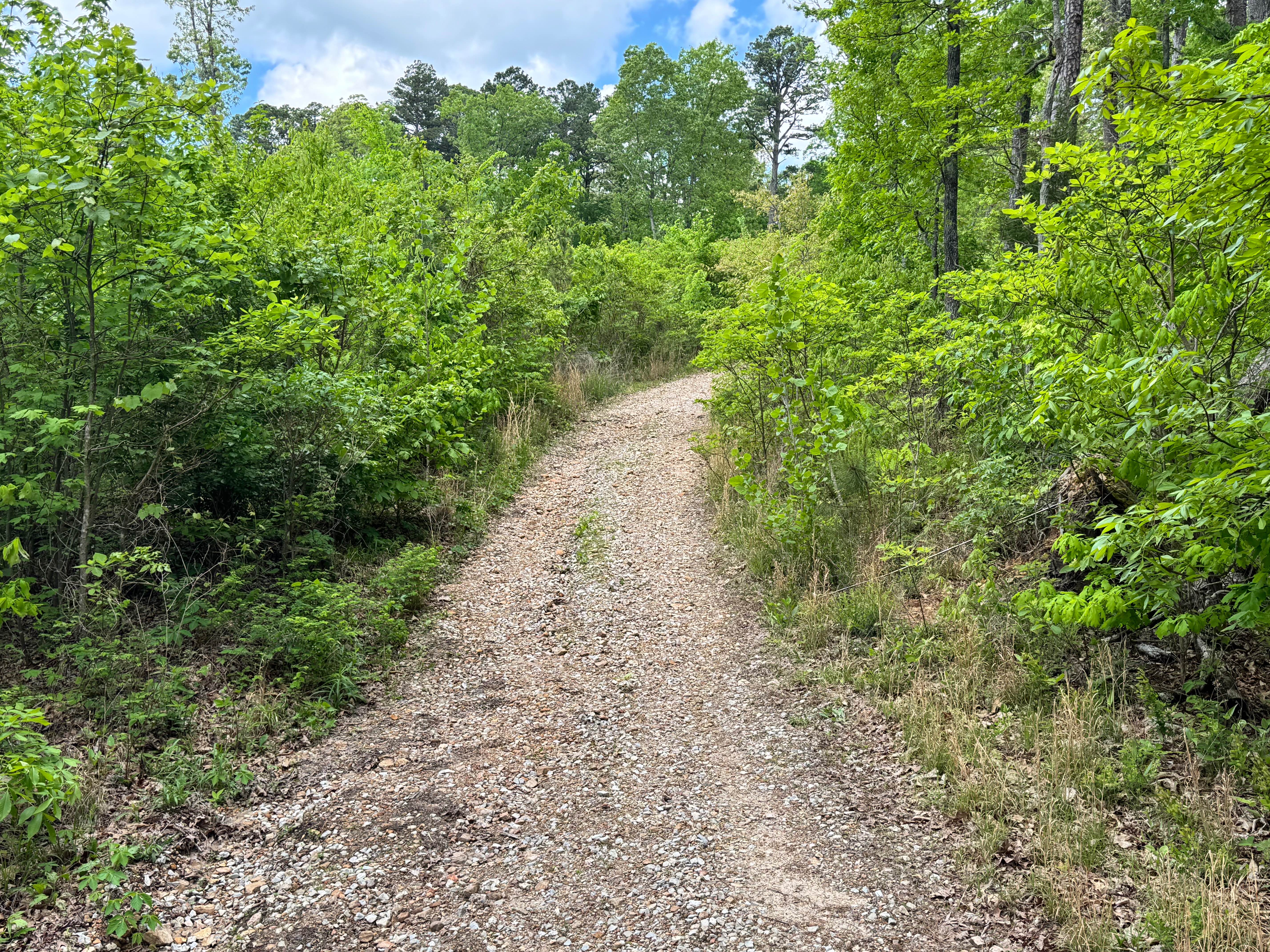
Pocket Eddy Ford Spur A
Total Miles
1.8
Tech Rating
Easy
Best Time
Spring, Summer, Fall, Winter
Learn more about Pointed Rock
Pointed Rock
Total Miles
0.1
Tech Rating
Easy
Best Time
Spring, Summer, Fall, Winter
Learn more about Poker Run
Poker Run
Total Miles
0.1
Tech Rating
Easy
Best Time
Spring, Summer, Fall, Winter
Learn more about Pond Fork - FS 145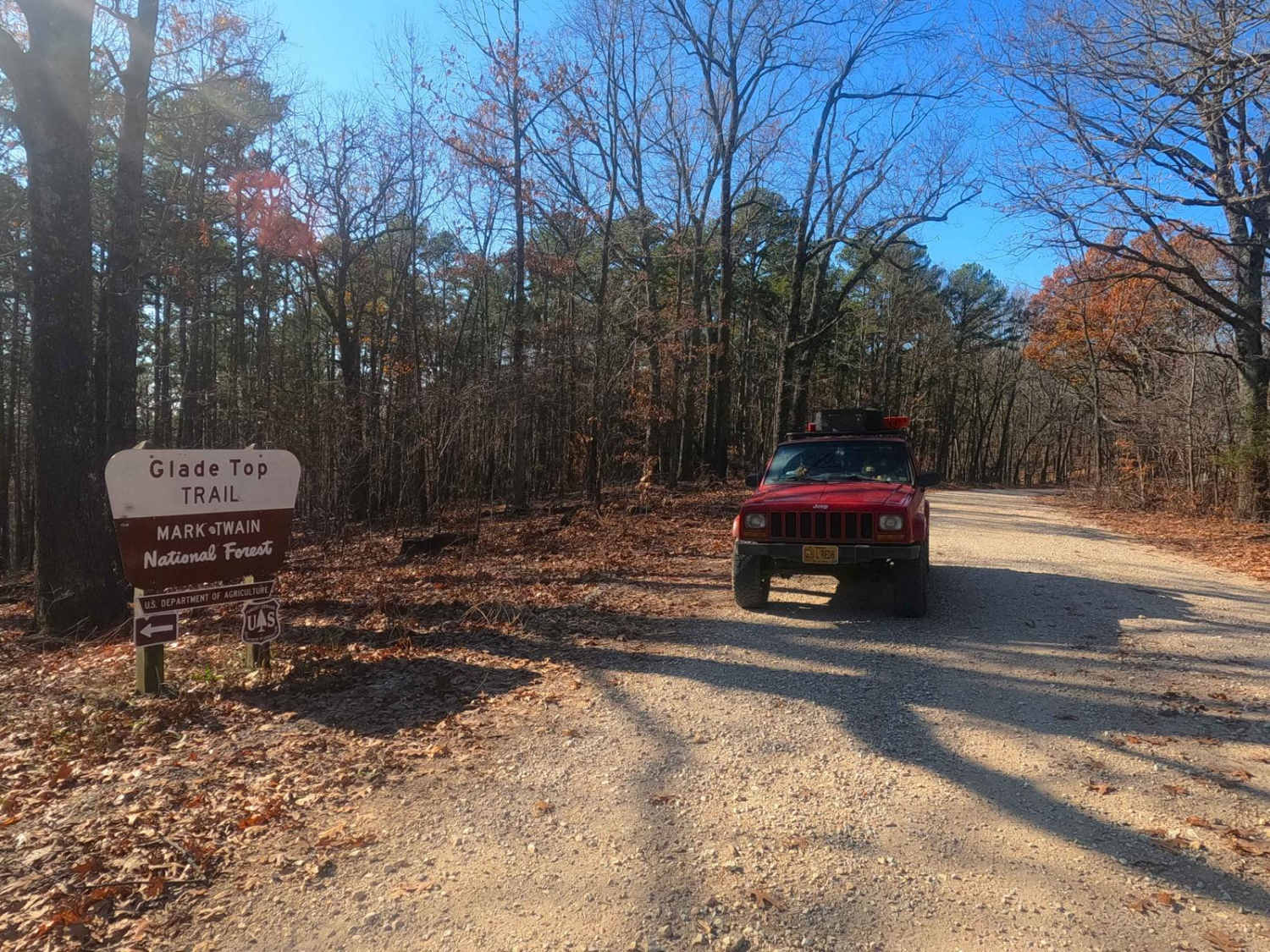
Pond Fork - FS 145
Total Miles
2.4
Tech Rating
Easy
Best Time
Spring, Summer, Fall, Winter
Learn more about Power Line Climb
Power Line Climb
Total Miles
0.2
Tech Rating
Difficult
Best Time
Spring, Summer, Winter, Fall
Learn more about Power Line East
Power Line East
Total Miles
0.3
Tech Rating
Moderate
Best Time
Spring, Summer, Fall, Winter
Learn more about Power Line Trail
Power Line Trail
Total Miles
0.7
Tech Rating
Easy
Best Time
Spring, Summer, Fall, Winter
ATV trails in Missouri


Learn more about 4 of 5
4 of 5
Total Miles
0.0
Tech Rating
Difficult
Best Time
Spring, Summer, Fall, Winter
UTV/side-by-side trails in Missouri
Learn more about 4 of 5
4 of 5
Total Miles
0.0
Tech Rating
Difficult
Best Time
Spring, Summer, Fall, Winter
The onX Offroad Difference
onX Offroad combines trail photos, descriptions, difficulty ratings, width restrictions, seasonality, and more in a user-friendly interface. Available on all devices, with offline access and full compatibility with CarPlay and Android Auto. Discover what you’re missing today!