Pine Union Spur B FSR 2137B
Total Miles
0.8
Technical Rating
Best Time
Spring, Fall, Winter
Trail Type
Full-Width Road
Accessible By
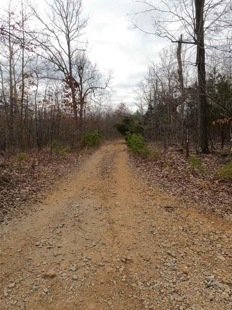
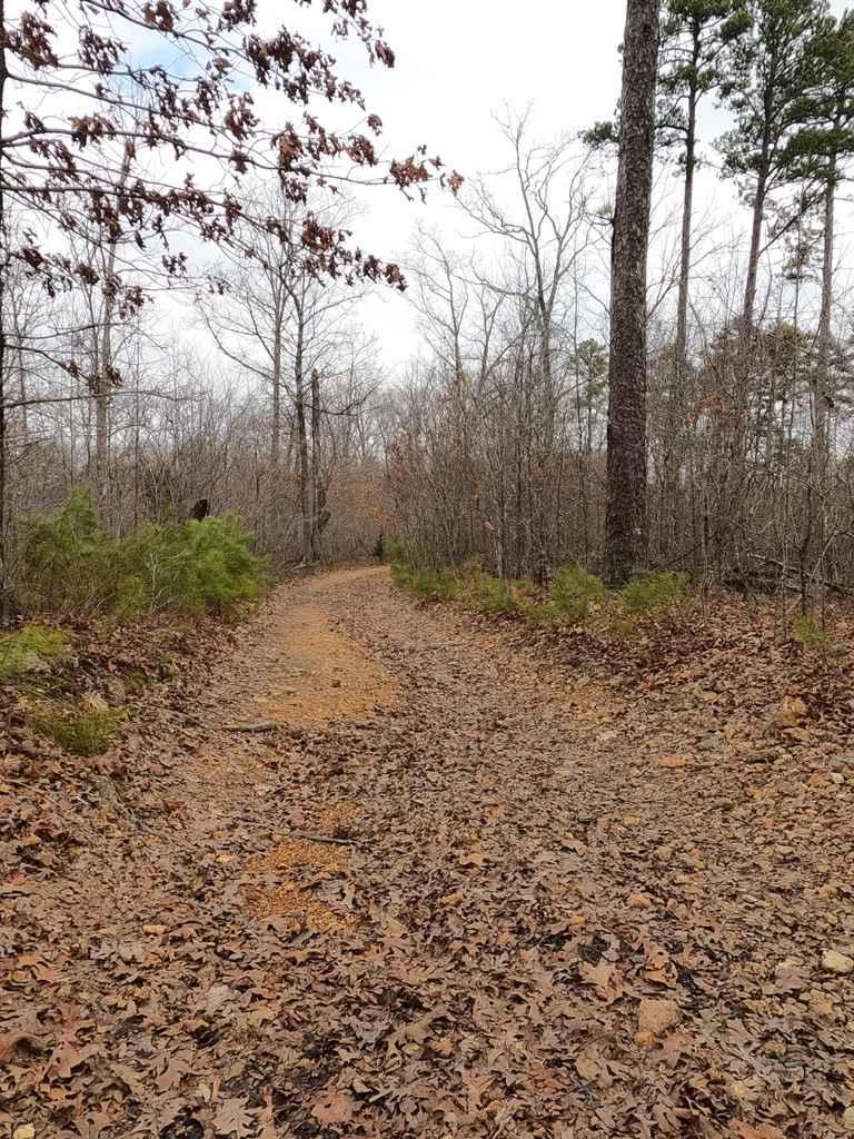
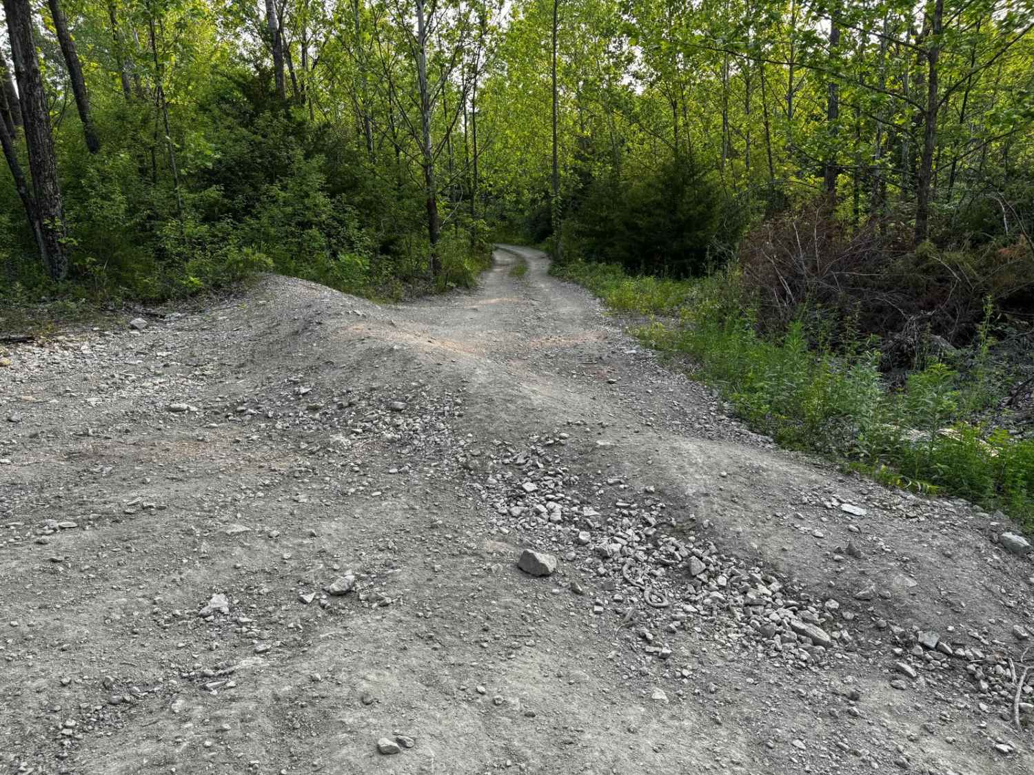
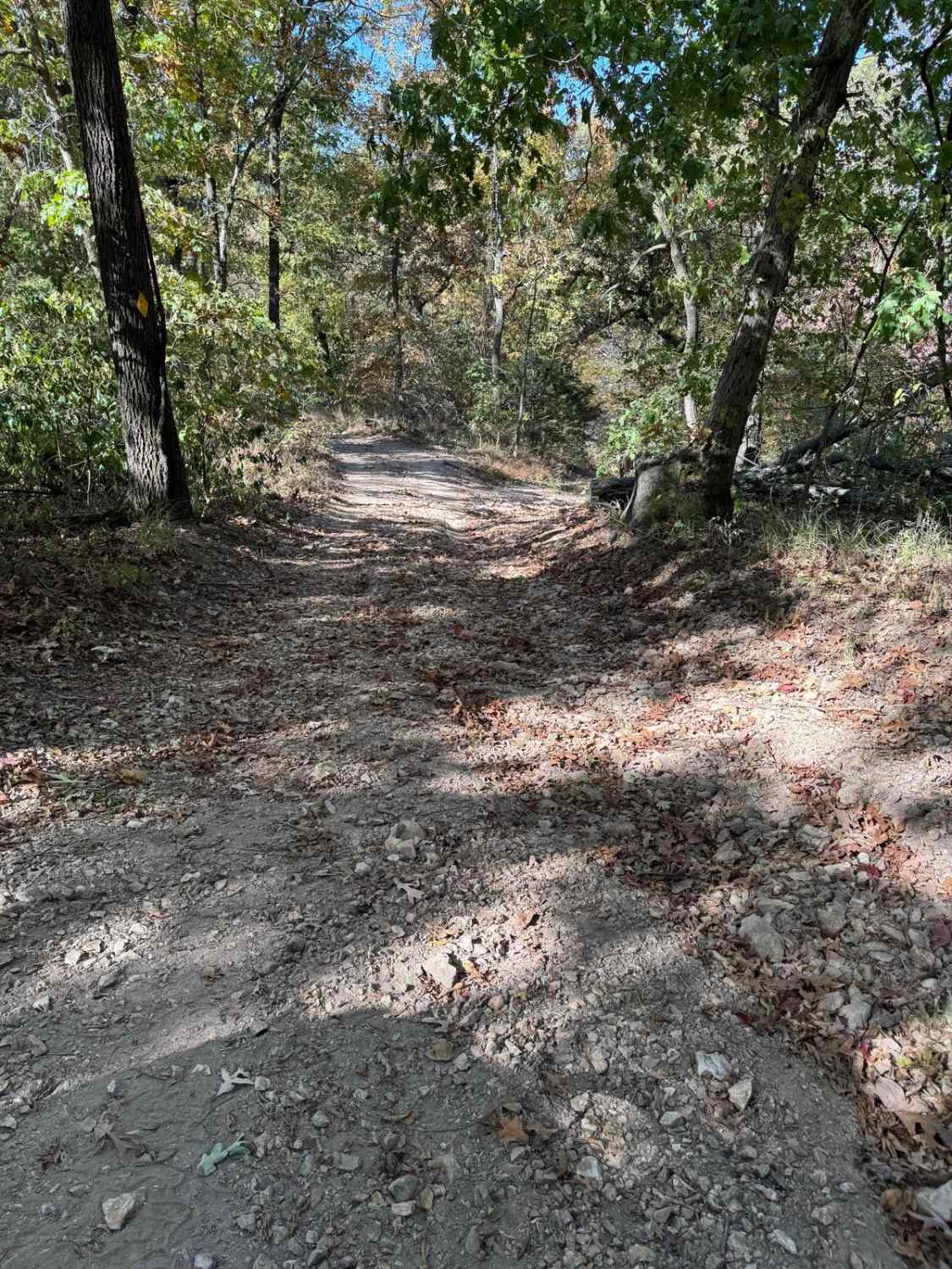
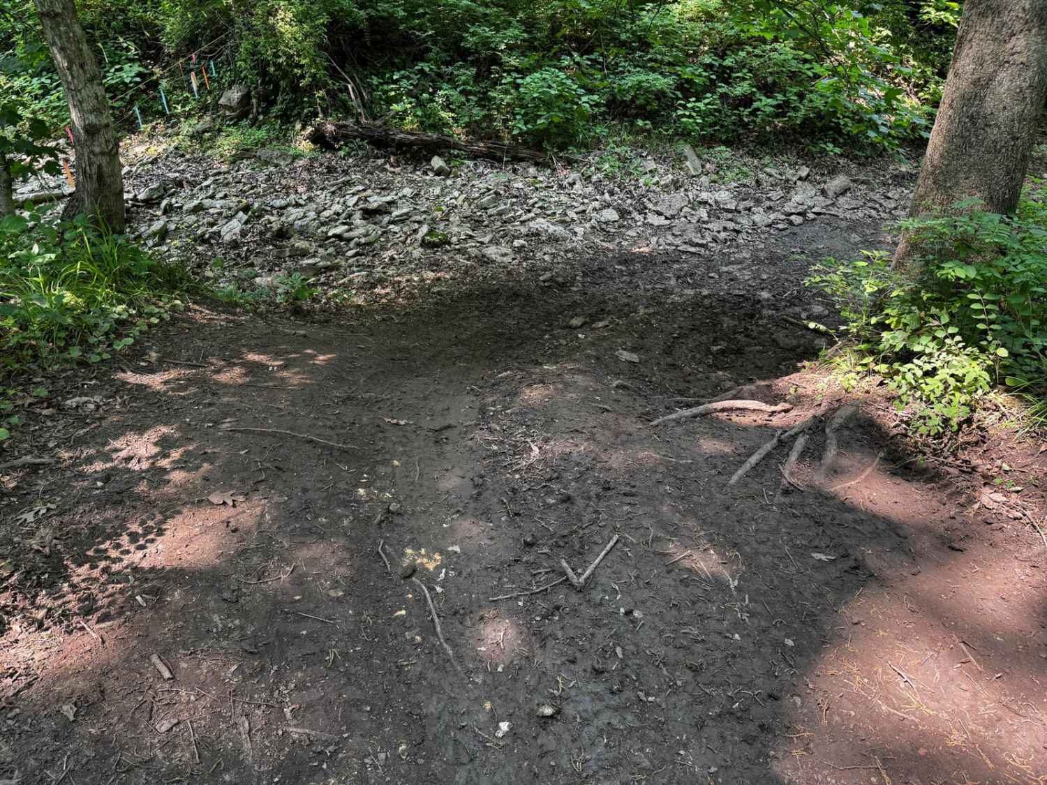
Trail Overview
The Pine Union 2137 Spur B is a natural forestry road in the Fredericktown Sector of the Mark Twain National Forest. It traverses the natural landscape of the Madison County hills, featuring a dirt road at the base with course rock, mild water collections, mild rutting, some natural rock and tree roots poking out at the surface, and mild mud. There is a great open area near the middle of the trail that is very campable and features a large mudhole. At the end of the public land, the road continues on into private land, there are forest boundary signs at this point, but there is no easy spot to turn around.
Photos of Pine Union Spur B FSR 2137B
Difficulty
The trail features loose rock scattered in the path randomly, interlaced with mild water ruts, as well as a few large rocks and tree roots in the pathway, requiring a little thought of tire placement. There is also some small water collection spots where the trail gets a little slick and slightly muddy. The further into the trail you go the more naturally unkept it feels, dodging tree branches becomes part of the fun. If rain is in the area the difficulty would increase in terms of traction loss, not the depth of the water.
Status Reports
Pine Union Spur B FSR 2137B can be accessed by the following ride types:
- High-Clearance 4x4
- SUV
Pine Union Spur B FSR 2137B Map
Popular Trails
The onX Offroad Difference
onX Offroad combines trail photos, descriptions, difficulty ratings, width restrictions, seasonality, and more in a user-friendly interface. Available on all devices, with offline access and full compatibility with CarPlay and Android Auto. Discover what you’re missing today!