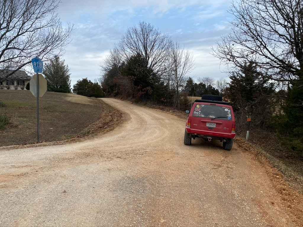
Bo-Co Road 918
Total Miles
1.8
Technical Rating
Best Time
Spring, Fall, Summer, Winter
Trail Type
Full-Width Road
Accessible By
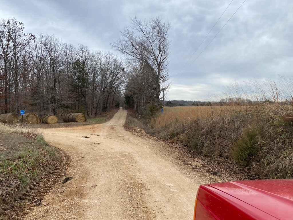
Trail Overview
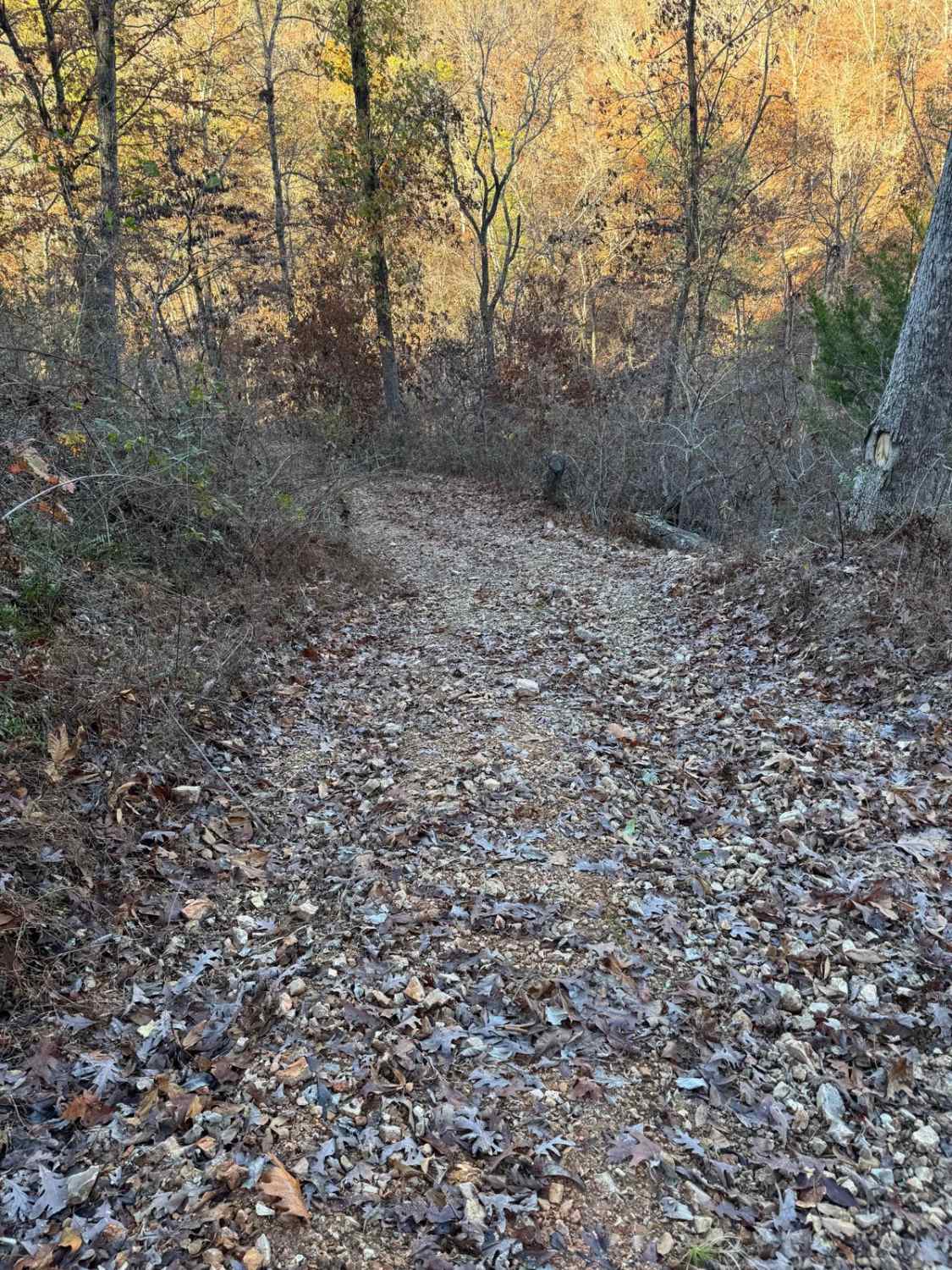
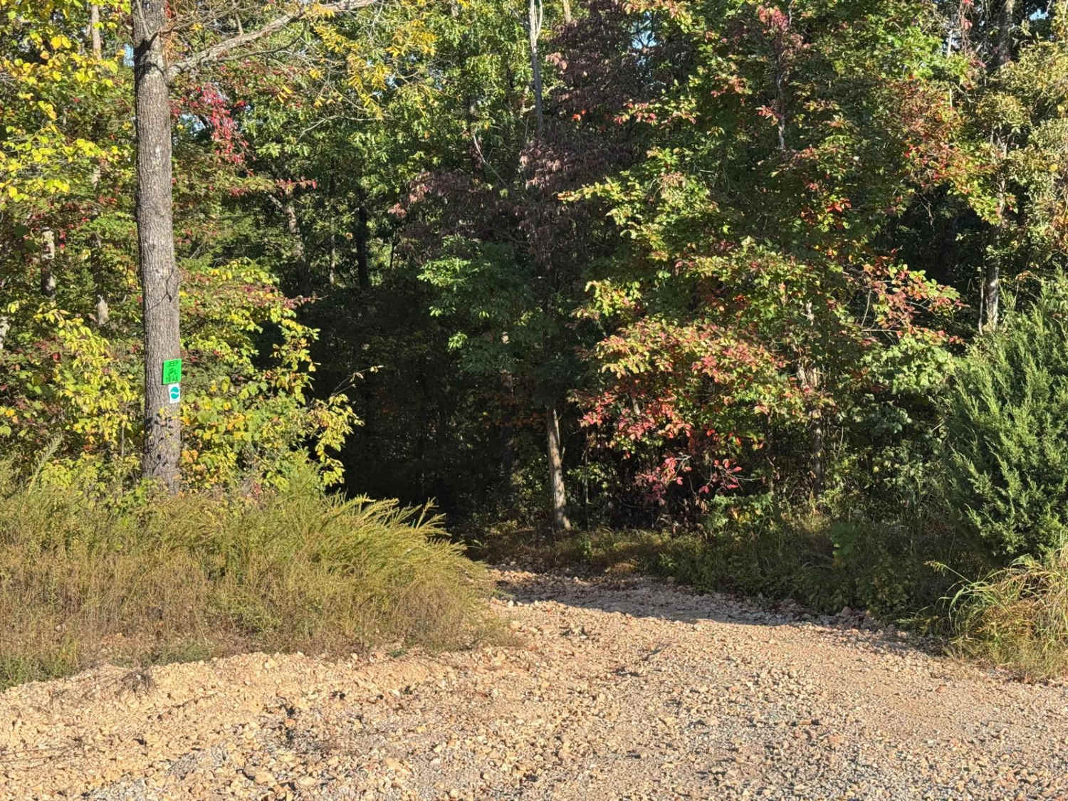
The Bollinger County 918 is a gravel county road connecting to other county roads in the area. It has mild rutting, washboarding, and mounding and shows signs of wear near its low-water bridge and hilly sections. This adds excitement to using it as a route to get around. Water collection spots, natural rock showing at the surface, and potholes are present as well.
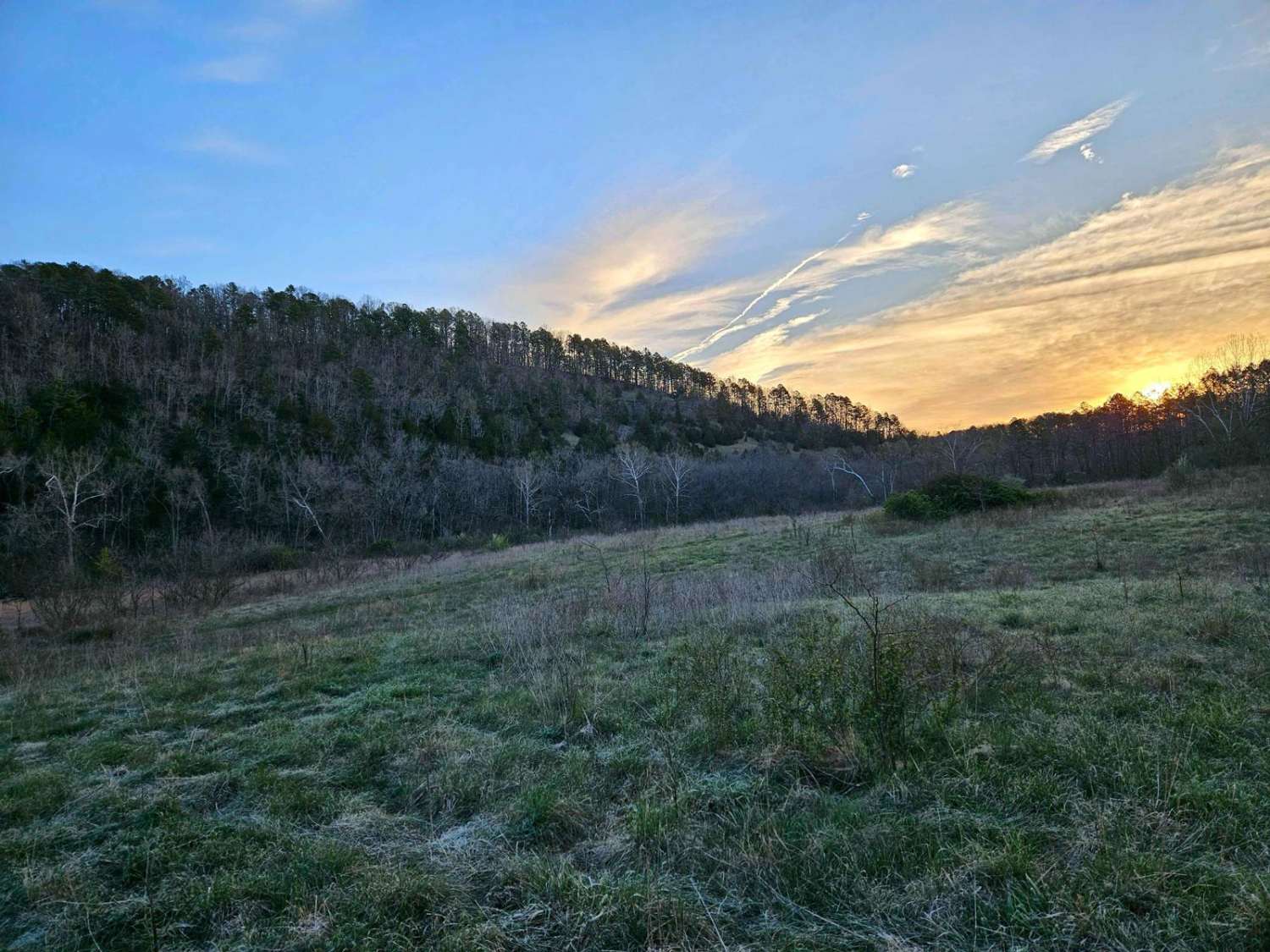
Photos of Bo-Co Road 918
Difficulty
The road is reasonably easy, but I gave it a 2/10 due to the wear and unmaintained feel of the road, there is also slight grade and off-camber sections along the way.
Status Reports
Bo-Co Road 918 can be accessed by the following ride types:
- High-Clearance 4x4
- SUV
Bo-Co Road 918 Map
Popular Trails

Yellow 146
The onX Offroad Difference
onX Offroad combines trail photos, descriptions, difficulty ratings, width restrictions, seasonality, and more in a user-friendly interface. Available on all devices, with offline access and full compatibility with CarPlay and Android Auto. Discover what you’re missing today!