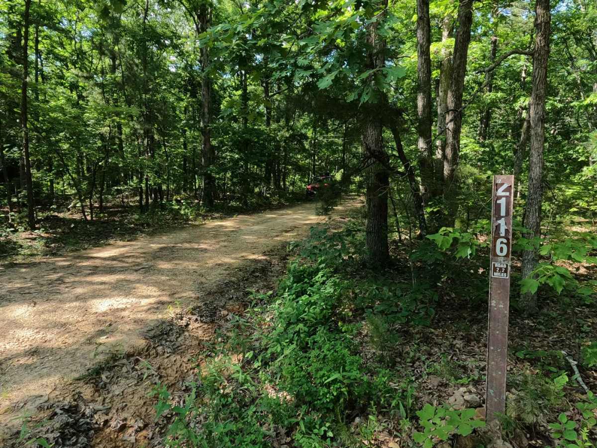
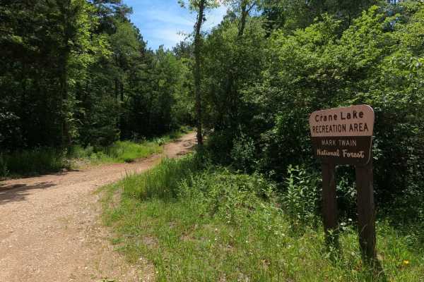
Trail Overview
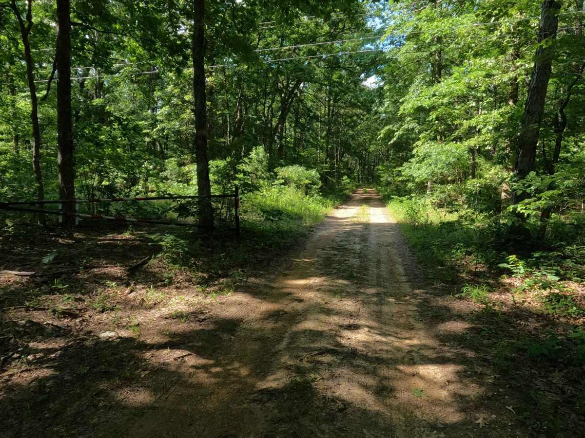
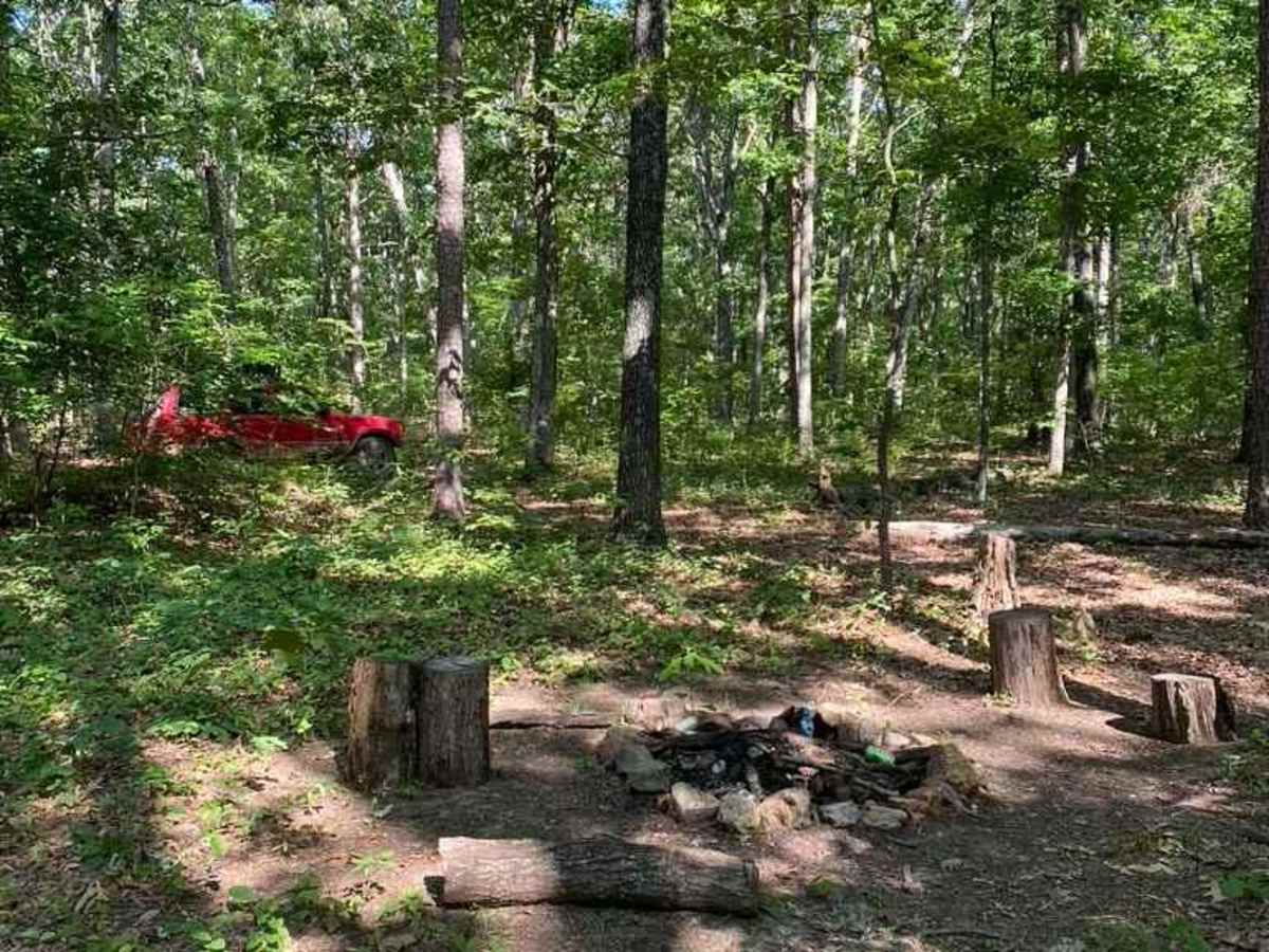
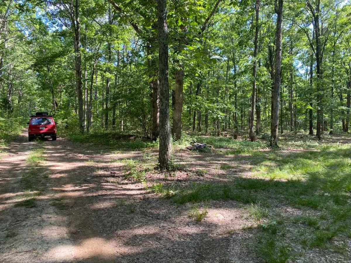
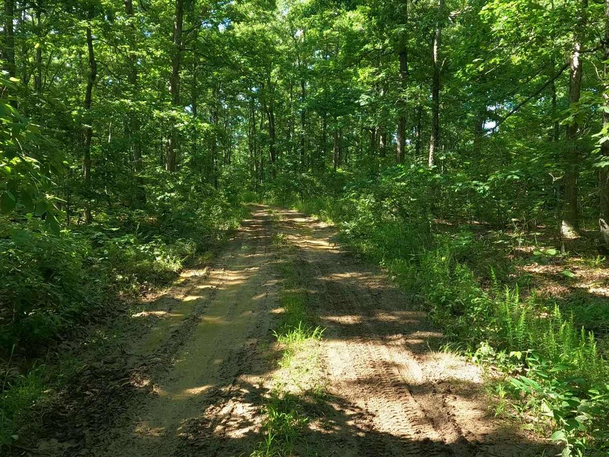
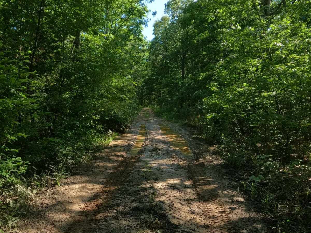
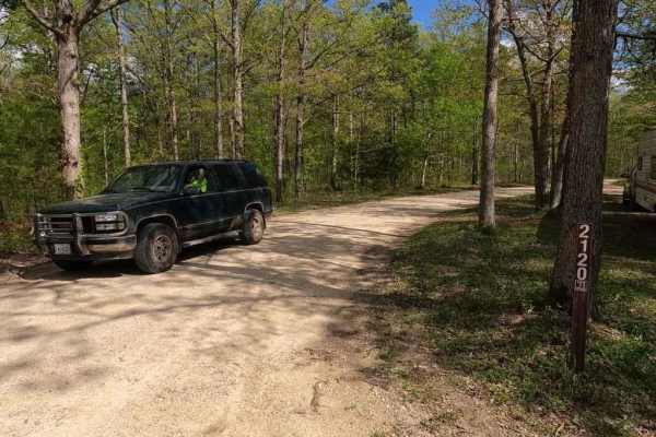
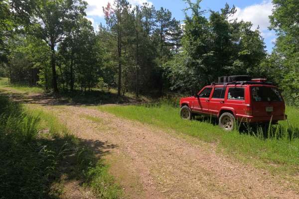
Crane Tower South FSR 2116 is a gravel forestry road through the Fredericktown Sector of Mark Twain National Forest. It features a gravel road at its foundation, but throughout its track it slowly degrades to a mostly dirt road, showing little to no maintenance and resulting in mild rutted sections and tightening tree lines. The road also has several sections of water collection spots and soft mud spots, so prepare to come out dirty. The last half mile of the trail also starts to climb some moderate rutted hills where water erosion creates some variation in terrain, and in moments of heavy rain, it could create some temporary hillside channels of water leading to feeder creeks. The road's primary use for hunting shows in its camp cutouts. Due to the local draw of turkey season, it has a yearly closure between 3/31 and 5/16.
Difficulty
The difficulty of FSR 2116 is in the mild water collection spots surrounded by tight tree lines. The water isn't terribly deep but gives you no room for error. In other spots on the trail, there is mild surface-level mud that just requires momentum and wise line choices to avoid being stuck. Pinstriping is guaranteed. There are also spots on the road featuring rutted-out packed rock due to rain erosion and could feature up to foot-deep ruts. On the back half mile where the hills increase in grade and the gravel seems to fade, this area could have equally deep ruts, but they are rather soft due to being dirt rather than hard natural rock. All this said, this trail is given a 3/10 base rating. The difficulty could increase if heavy rain or wet conditions are present in the area, and the difficulty could also drop if the road were to be mended.