Reader Hollow FSR 2155
Total Miles
1.6
Technical Rating
Best Time
Summer, Fall, Winter
Trail Type
High-Clearance 4x4 Trail
Accessible By
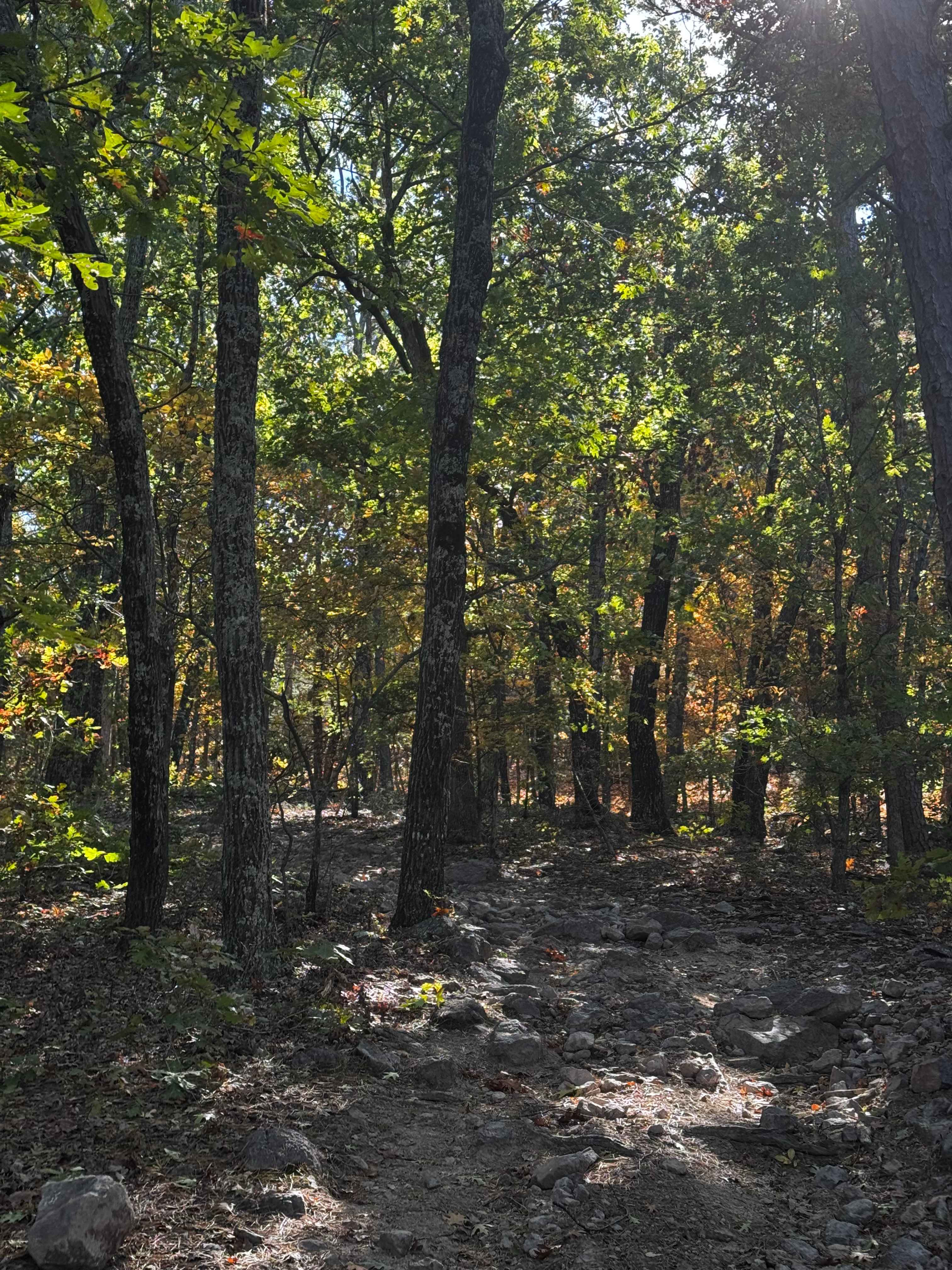
Trail Overview
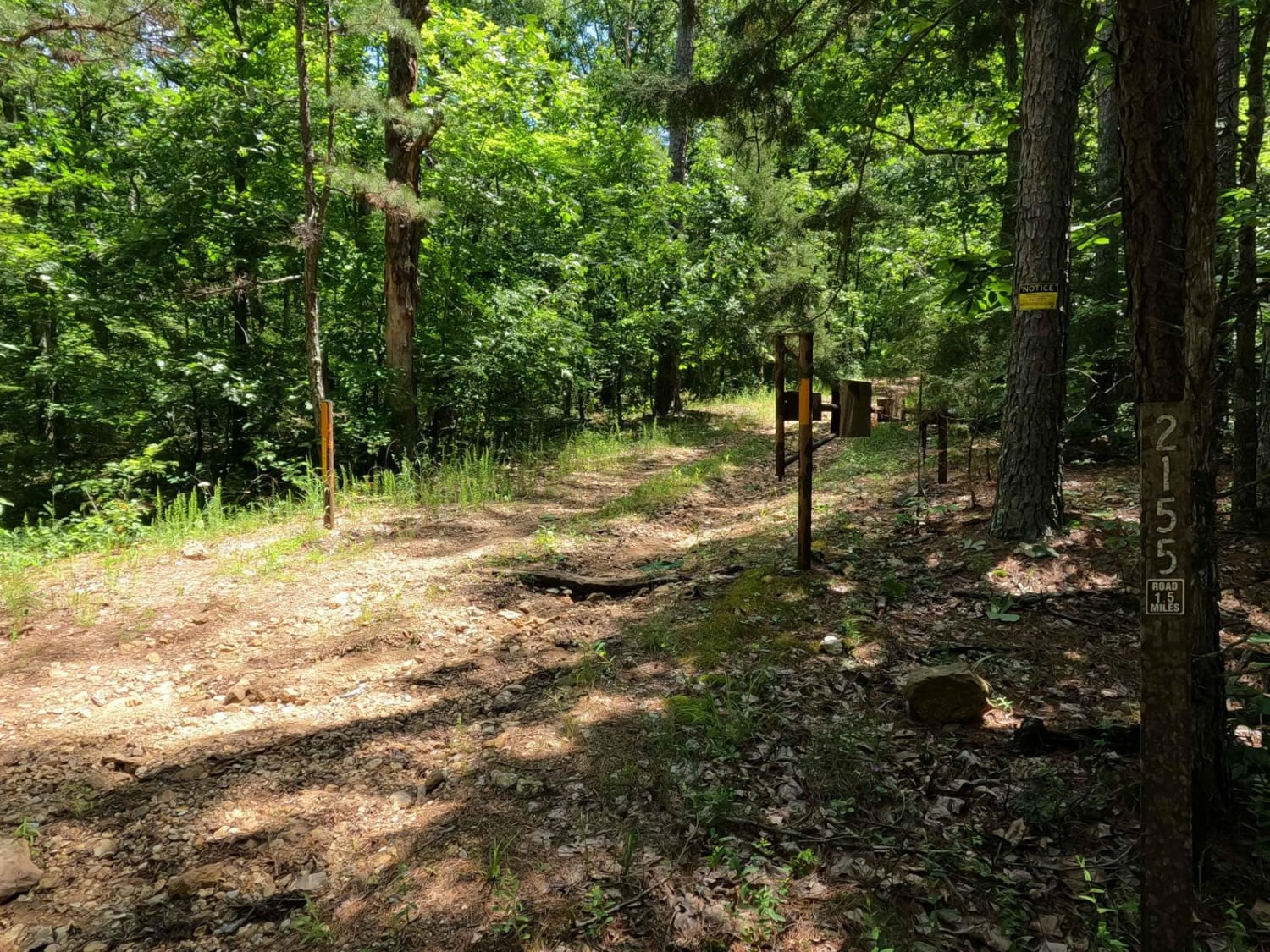
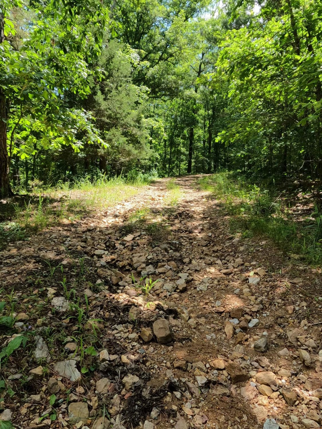
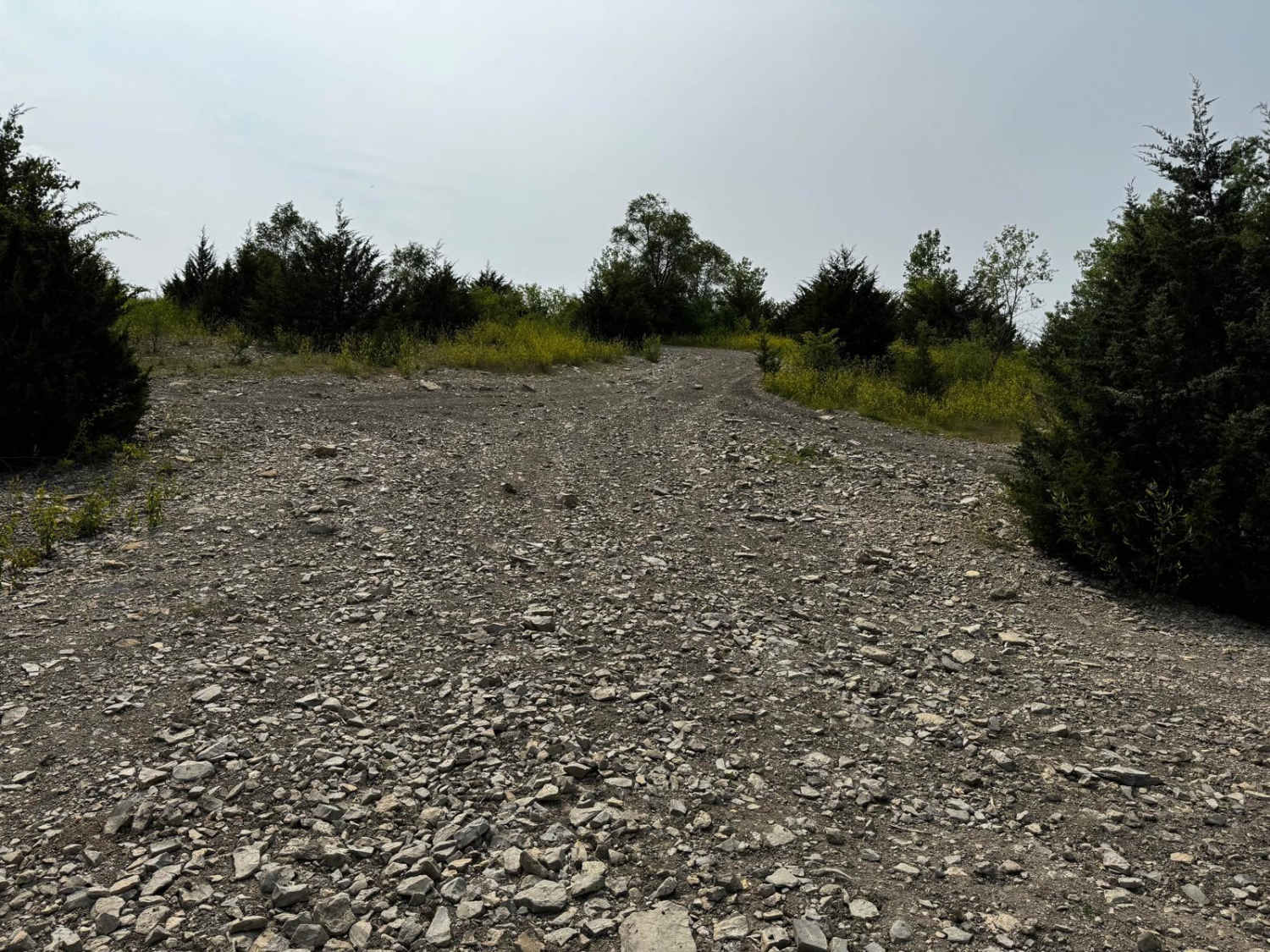
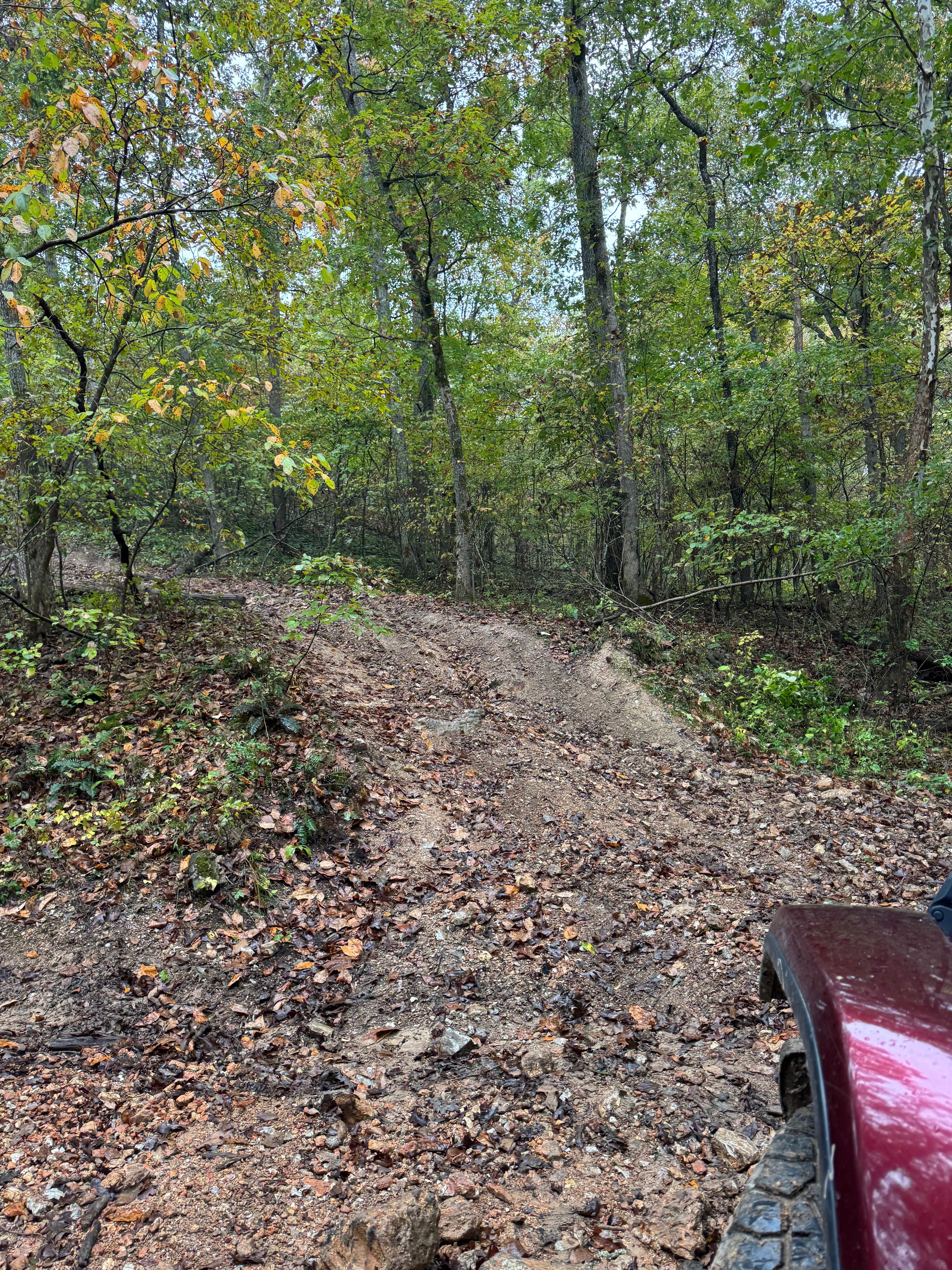
Reader Hollow FSR 2155 is a gravel-turned-natural forestry road through the Fredericktown Sector of Mark Twain National Forest. The road begins at the Crane Lake Recreation Area, quickly climbing up a coarse rock, rutted grade to climb away from the low elevation where the lake exists. This leads to the higher elevated hills that feature some of the more intact sections of gravel on the trail but also feature a few moderate water collection holes as well. The far east section features steeper grades, where rainwater channelizes and creates a deeply rutted, potentially muddy, path of mostly dirt and unearthed natural rock all the way down to where the channelizing water meets the feeder creek bottoms of the Crane Pond Creek. At the bottom, the trail meets a gate which is the ending point. This is a fun trail to conquer especially if you want to find a more secluded spot to camp. One of the biggest draws to the area is the turkey hunting season, which also closes the trail from 3/31 to 5/16 yearly.
Photos of Reader Hollow FSR 2155
Difficulty
The difficulty of FSR 2155 is in the steep graded hills with loose coarse rock (mostly baseball-sized to sparsely placed basketball-sized rock), mixed with soft-bottomed, heavy erosion ruts (6-24 inches deep) and moderately deep water collection holes (6-18 inches in depth), all potentially with mud thrown into the mix. Tree lines are tight in spots, but mostly can be avoided in terms of pinstriping. The road makes you choose lines and optimize traction and momentum where it can be found. All this said this trail is given a base rating of 4/10; it is a solid 3 throughout but features ruts and potential water hole depth in the 4 realm. The difficulty could be elevated in times of heavy rain or wet conditions, but the road could also be lowered in difficulty if it were to be mended.
Status Reports
Reader Hollow FSR 2155 can be accessed by the following ride types:
- High-Clearance 4x4
- SxS (60")
Reader Hollow FSR 2155 Map
Popular Trails
Rugged Cross
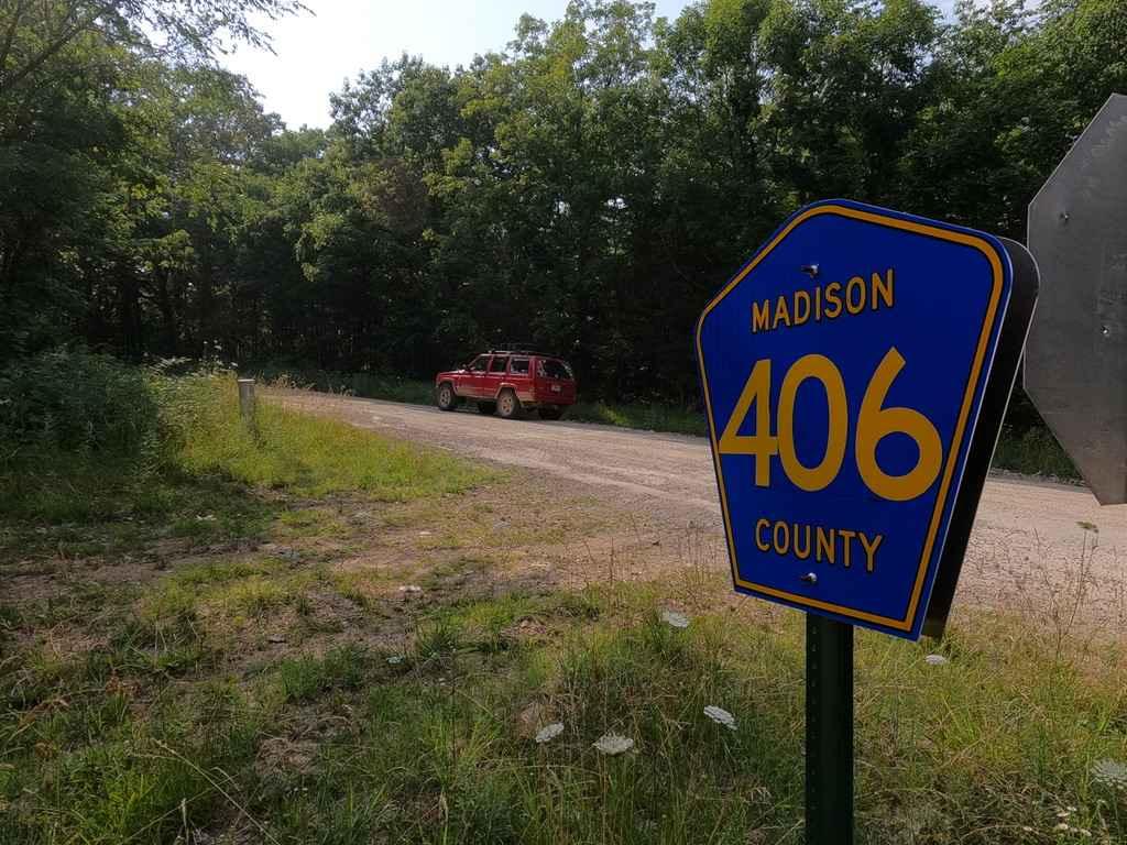
Mad-Co Road 406
The onX Offroad Difference
onX Offroad combines trail photos, descriptions, difficulty ratings, width restrictions, seasonality, and more in a user-friendly interface. Available on all devices, with offline access and full compatibility with CarPlay and Android Auto. Discover what you’re missing today!