Off-Road Trails in Missouri
Discover off-road trails in Missouri
Learn more about Red 54
Red 54
Total Miles
0.0
Tech Rating
Difficult
Best Time
Spring, Summer, Fall, Winter
Learn more about Red 62
Red 62
Total Miles
0.0
Tech Rating
Difficult
Best Time
Spring, Summer, Fall, Winter
Learn more about Red 68
Red 68
Total Miles
0.1
Tech Rating
Difficult
Best Time
Spring, Summer, Fall, Winter

Learn more about Red Barn Road
Red Barn Road
Total Miles
0.3
Tech Rating
Easy
Best Time
Spring, Summer, Fall, Winter
Learn more about Red Green 175
Red Green 175
Total Miles
0.1
Tech Rating
Difficult
Best Time
Spring, Summer, Fall, Winter
Learn more about Red Oak School - FS 145B
Red Oak School - FS 145B
Total Miles
0.5
Tech Rating
Easy
Best Time
Spring, Summer, Fall, Winter
Learn more about Red-Green 52
Red-Green 52
Total Miles
0.4
Tech Rating
Difficult
Best Time
Spring, Summer, Fall, Winter
Learn more about Reynolds - CR 468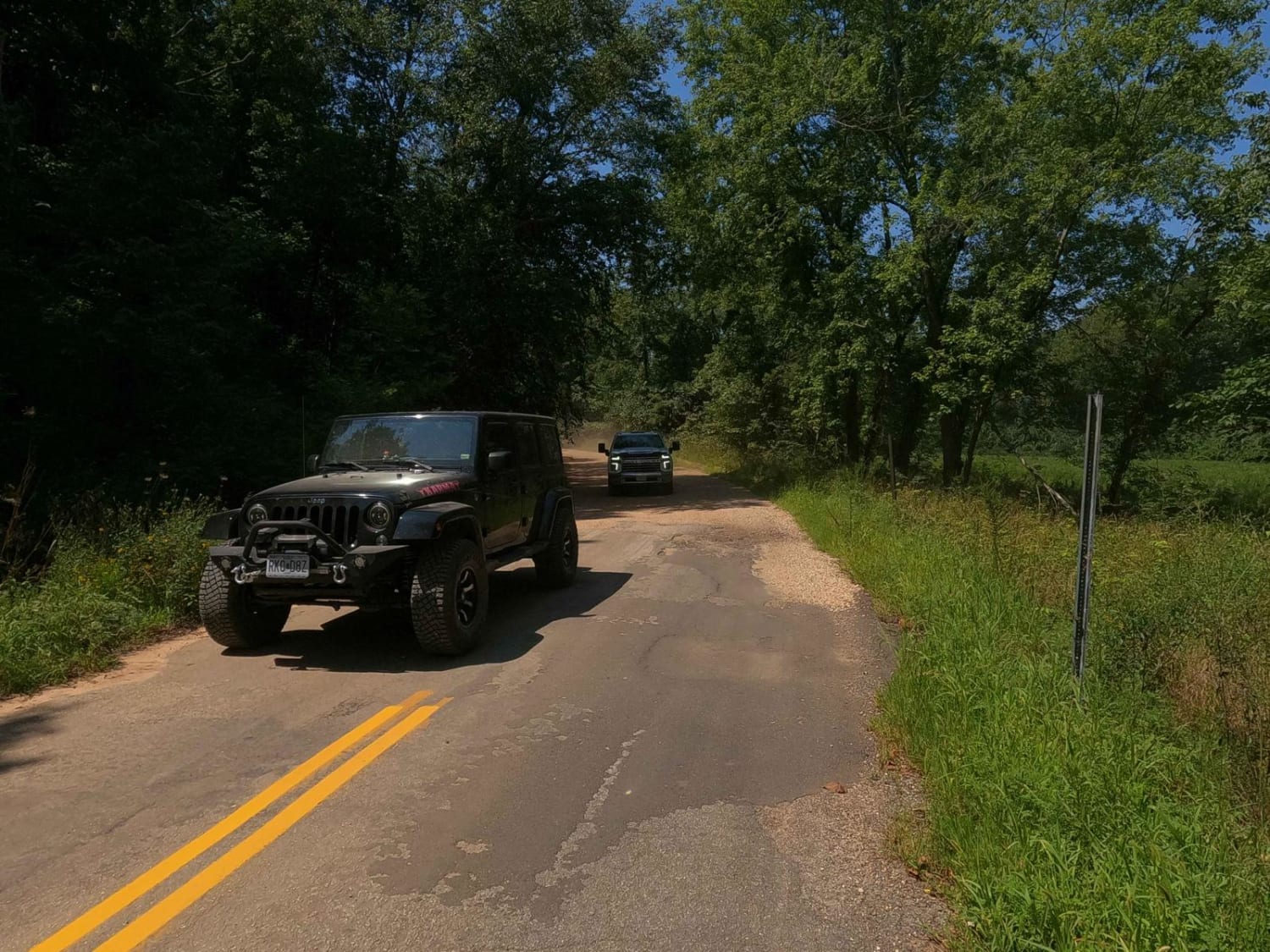
Reynolds - CR 468
Total Miles
4.2
Tech Rating
Easy
Best Time
Spring, Summer, Fall, Winter
Learn more about Reynolds Ford Road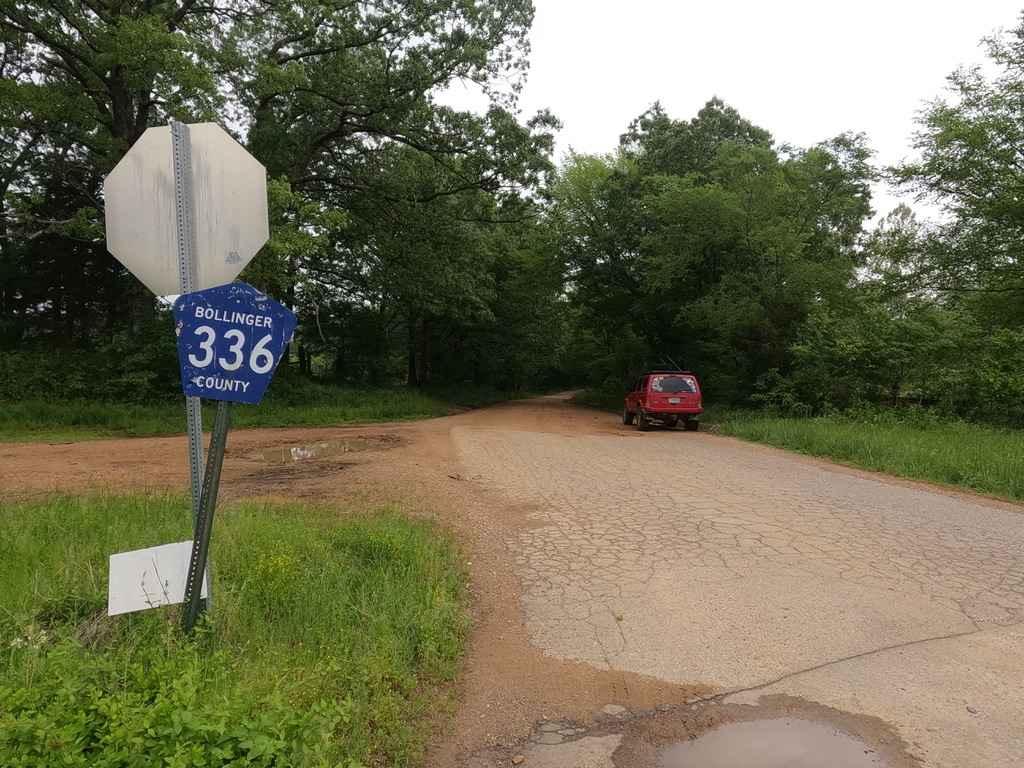
Reynolds Ford Road
Total Miles
7.4
Tech Rating
Easy
Best Time
Spring, Fall, Summer

Learn more about Ridge Run North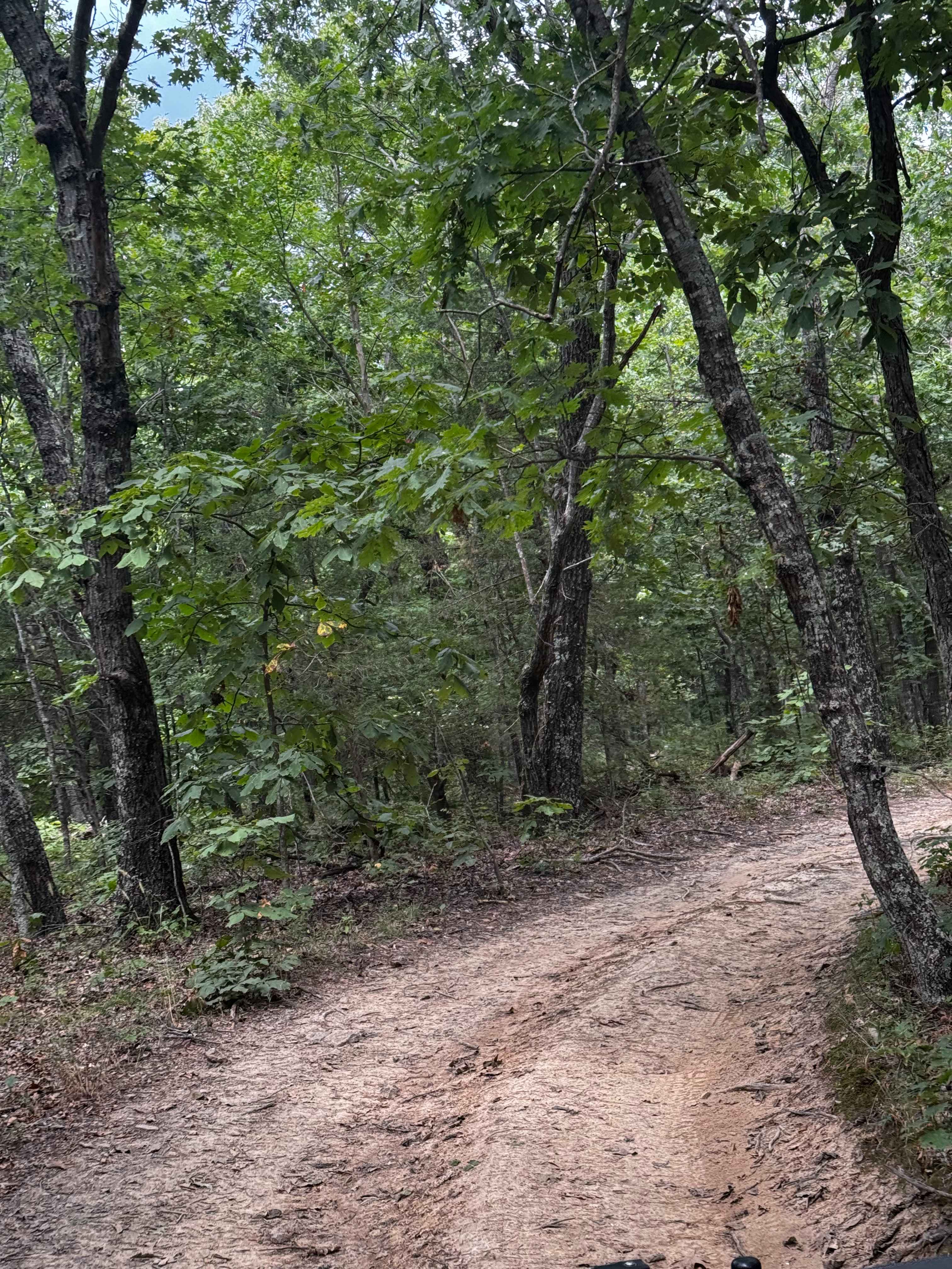
Ridge Run North
Total Miles
0.6
Tech Rating
Easy
Best Time
Spring, Summer, Fall, Winter
Learn more about Ridgeline Road
Ridgeline Road
Total Miles
0.2
Tech Rating
Easy
Best Time
Spring, Summer, Fall
Learn more about Ripley Lake 3240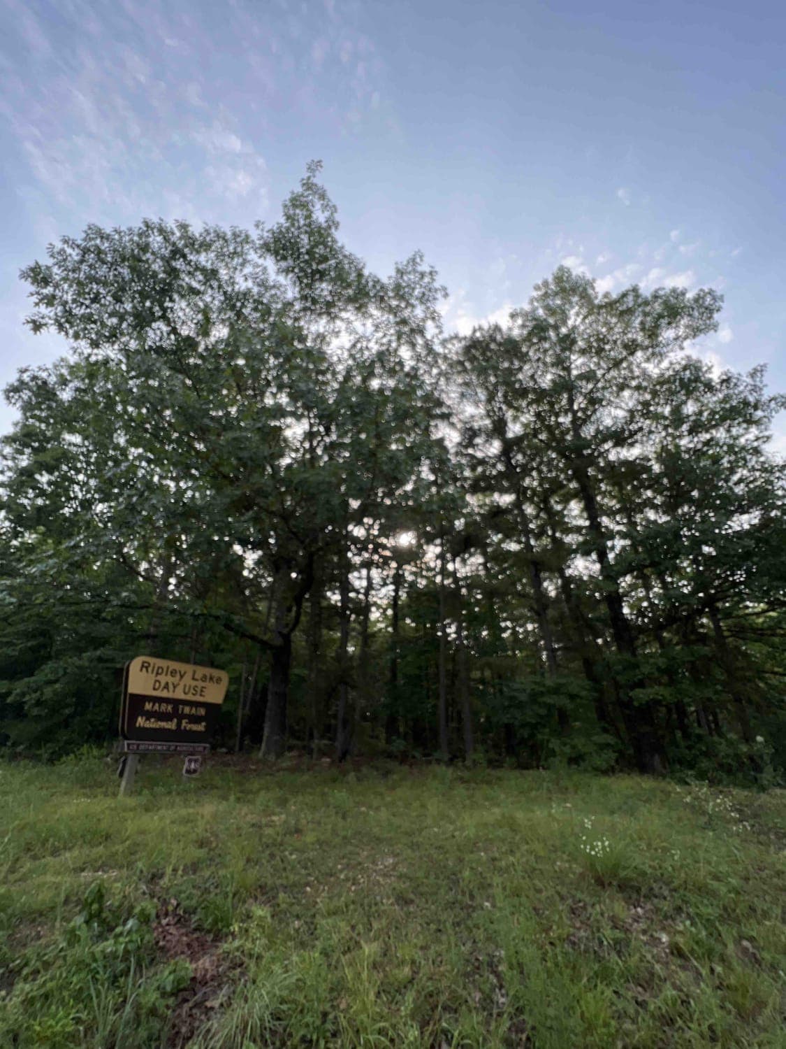
Ripley Lake 3240
Total Miles
1.0
Tech Rating
Easy
Best Time
Spring, Summer, Fall
Learn more about River Ridge Road
River Ridge Road
Total Miles
4.1
Tech Rating
Moderate
Best Time
Spring, Summer, Fall, Winter
ATV trails in Missouri


Learn more about 4 of 5
4 of 5
Total Miles
0.0
Tech Rating
Difficult
Best Time
Spring, Summer, Fall, Winter
UTV/side-by-side trails in Missouri
Learn more about 4 of 5
4 of 5
Total Miles
0.0
Tech Rating
Difficult
Best Time
Spring, Summer, Fall, Winter
The onX Offroad Difference
onX Offroad combines trail photos, descriptions, difficulty ratings, width restrictions, seasonality, and more in a user-friendly interface. Available on all devices, with offline access and full compatibility with CarPlay and Android Auto. Discover what you’re missing today!