Off-Road Trails in Missouri
Discover off-road trails in Missouri
Learn more about Southern Spur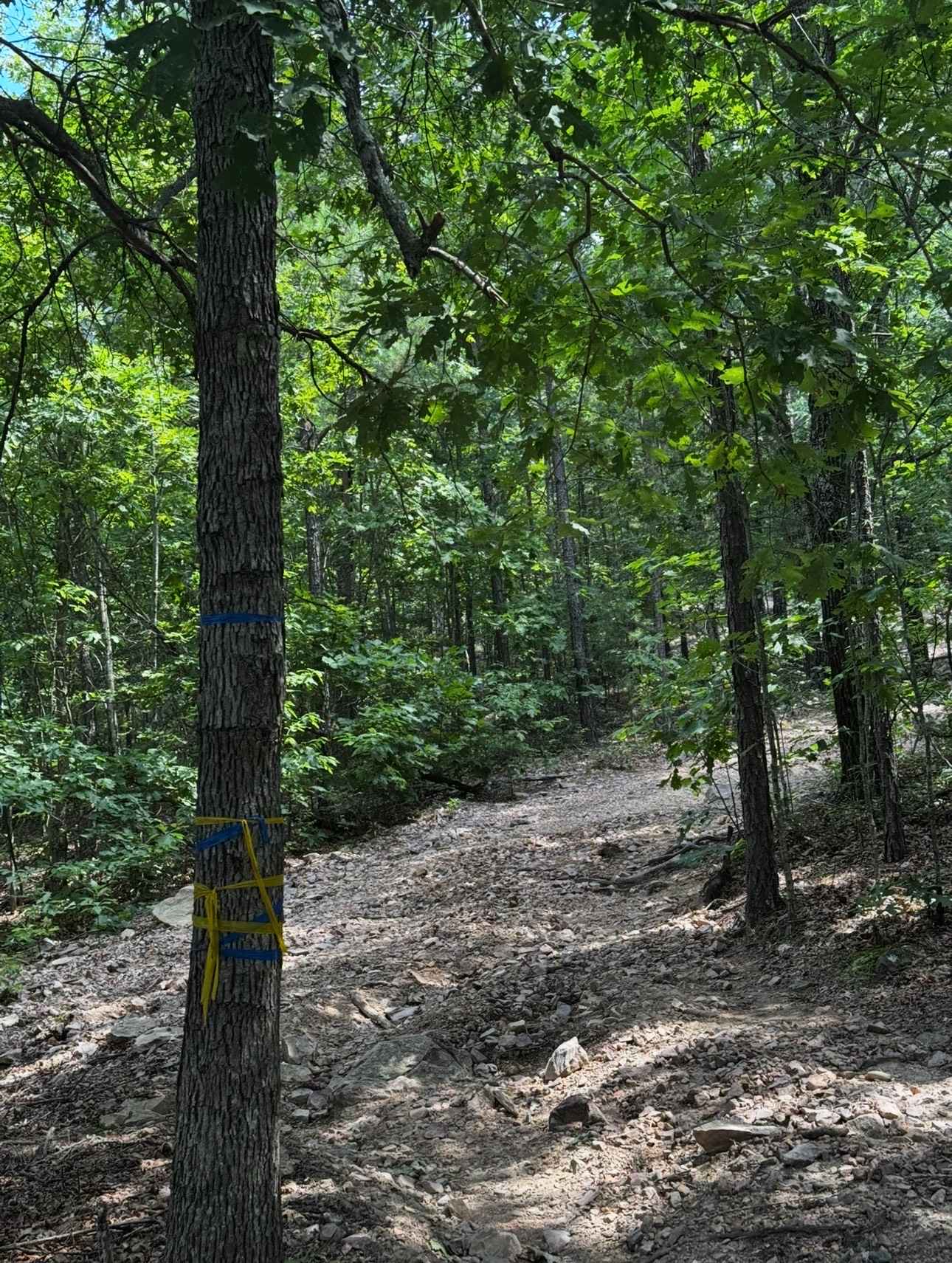
Southern Spur
Total Miles
0.3
Tech Rating
Easy
Best Time
Spring, Summer, Fall, Winter
Learn more about Spool Ridge Trail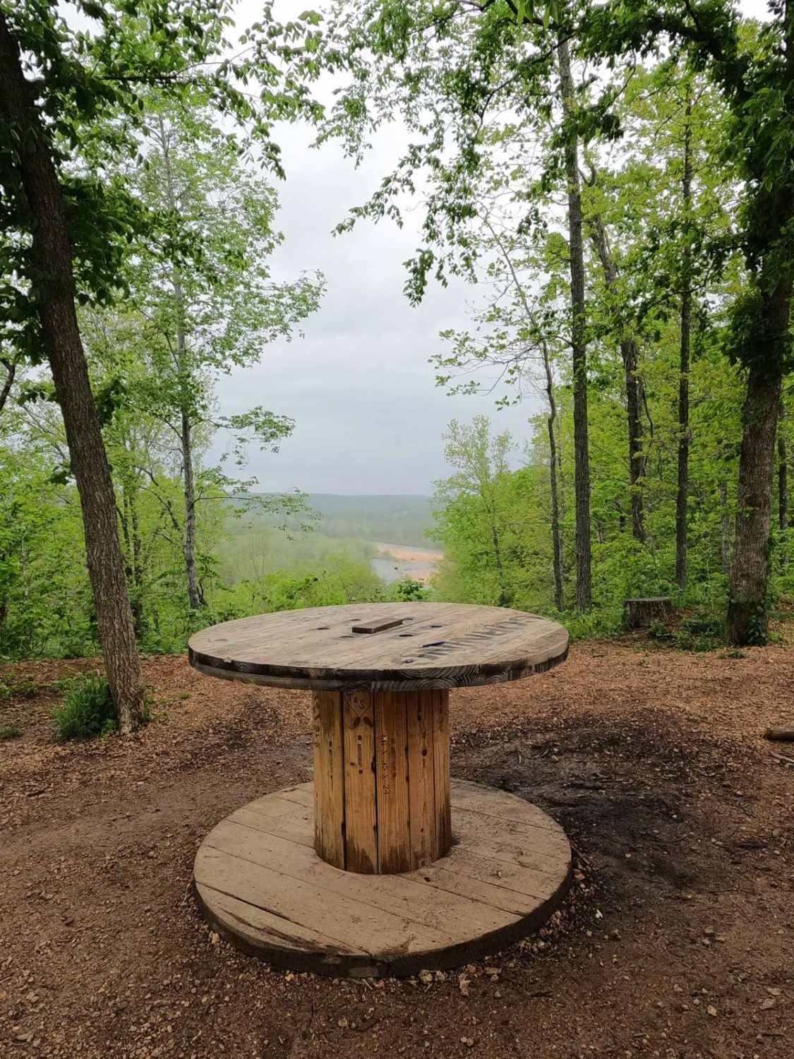
Spool Ridge Trail
Total Miles
1.9
Tech Rating
Moderate
Best Time
Spring, Summer, Fall, Winter
Learn more about Spring Creek - FS 1803
Spring Creek - FS 1803
Total Miles
1.5
Tech Rating
Easy
Best Time
Spring, Summer, Fall
Learn more about Squatch Street
Squatch Street
Total Miles
0.2
Tech Rating
Easy
Best Time
Spring, Summer, Fall, Winter
Learn more about Stacked Log Trail
Stacked Log Trail
Total Miles
1.6
Tech Rating
Easy
Best Time
Spring, Summer, Winter, Fall
Learn more about Stairway Climb 2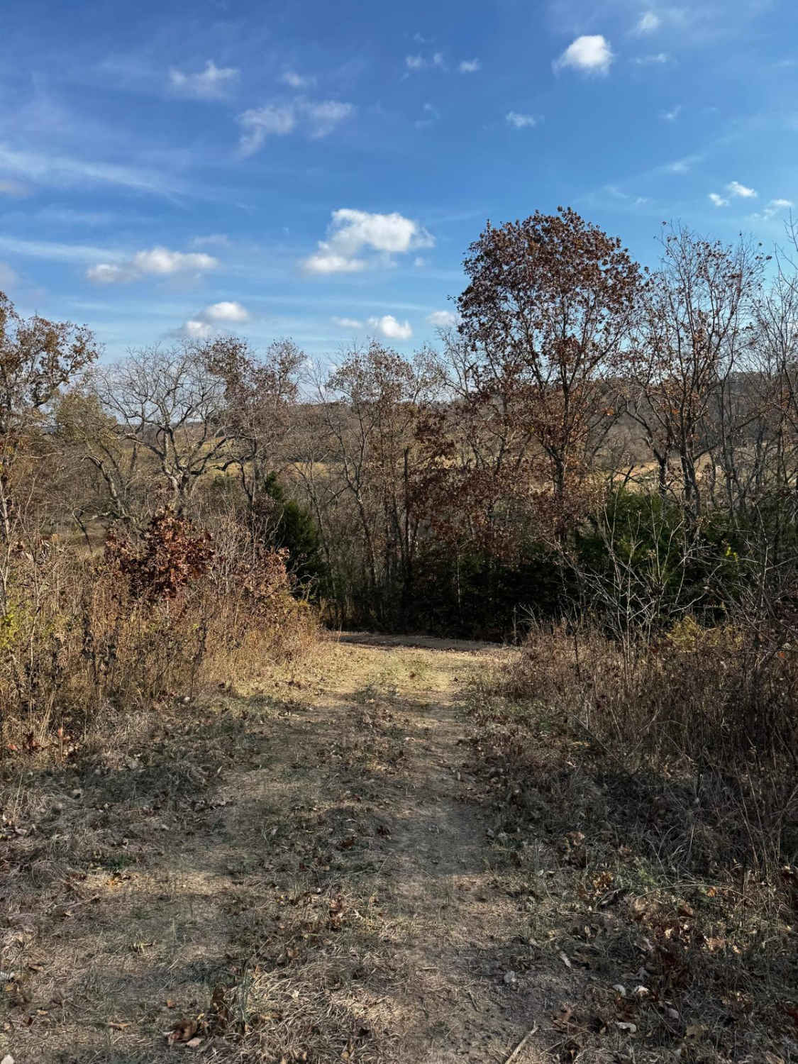
Stairway Climb 2
Total Miles
0.1
Tech Rating
Difficult
Best Time
Spring, Summer, Fall, Winter
Learn more about Stanton Lane
Stanton Lane
Total Miles
0.2
Tech Rating
Difficult
Best Time
Spring, Fall, Winter, Summer
Learn more about Steep and Deep 166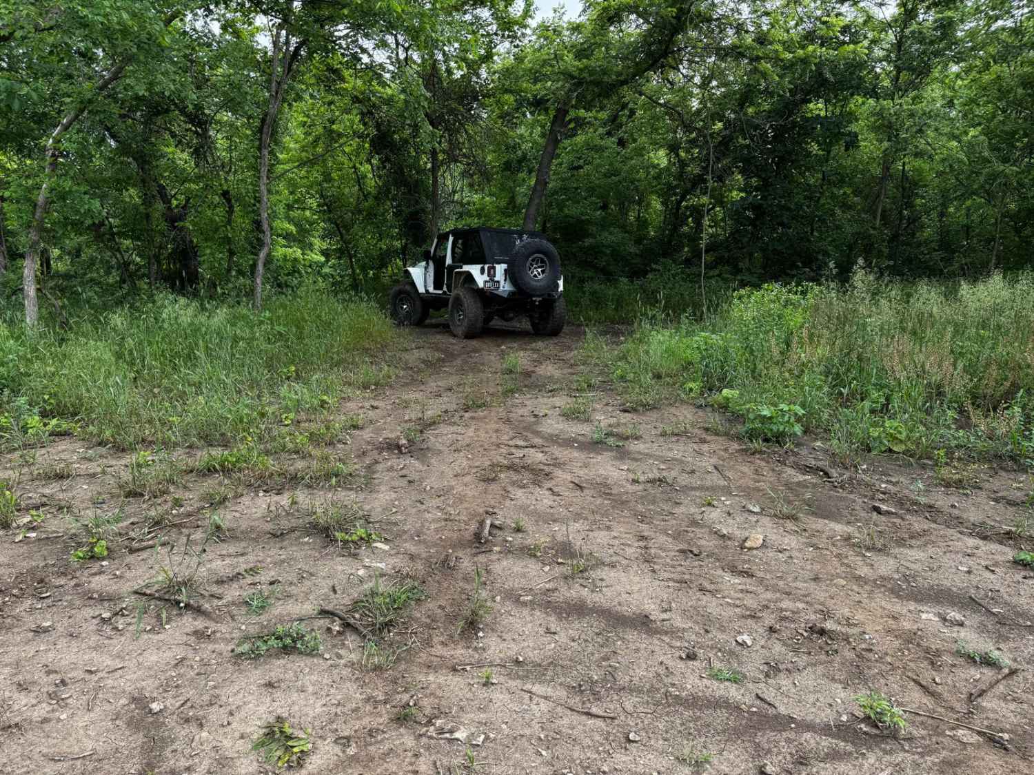
Steep and Deep 166
Total Miles
0.0
Tech Rating
Extreme
Best Time
Spring, Summer, Fall
Learn more about Stegall Tower - CCR 159
Stegall Tower - CCR 159
Total Miles
1.7
Tech Rating
Easy
Best Time
Spring, Summer, Fall, Winter
Learn more about Stirrup Split
Stirrup Split
Total Miles
0.1
Tech Rating
Easy
Best Time
Spring, Summer, Fall
Learn more about Stocker Stomper
Stocker Stomper
Total Miles
0.2
Tech Rating
Easy
Best Time
Spring, Summer, Fall
Learn more about Stockman - FS 498
Stockman - FS 498
Total Miles
0.6
Tech Rating
Easy
Best Time
Spring, Summer, Fall, Winter
Learn more about Stocky No Locky
Stocky No Locky
Total Miles
0.1
Tech Rating
Easy
Best Time
Spring, Summer, Fall, Winter
Learn more about Stringtown Branch - FSR 2550
Stringtown Branch - FSR 2550
Total Miles
1.7
Tech Rating
Easy
Best Time
Spring, Fall, Winter, Summer

Learn more about Sugar Hill Loop - FS 857B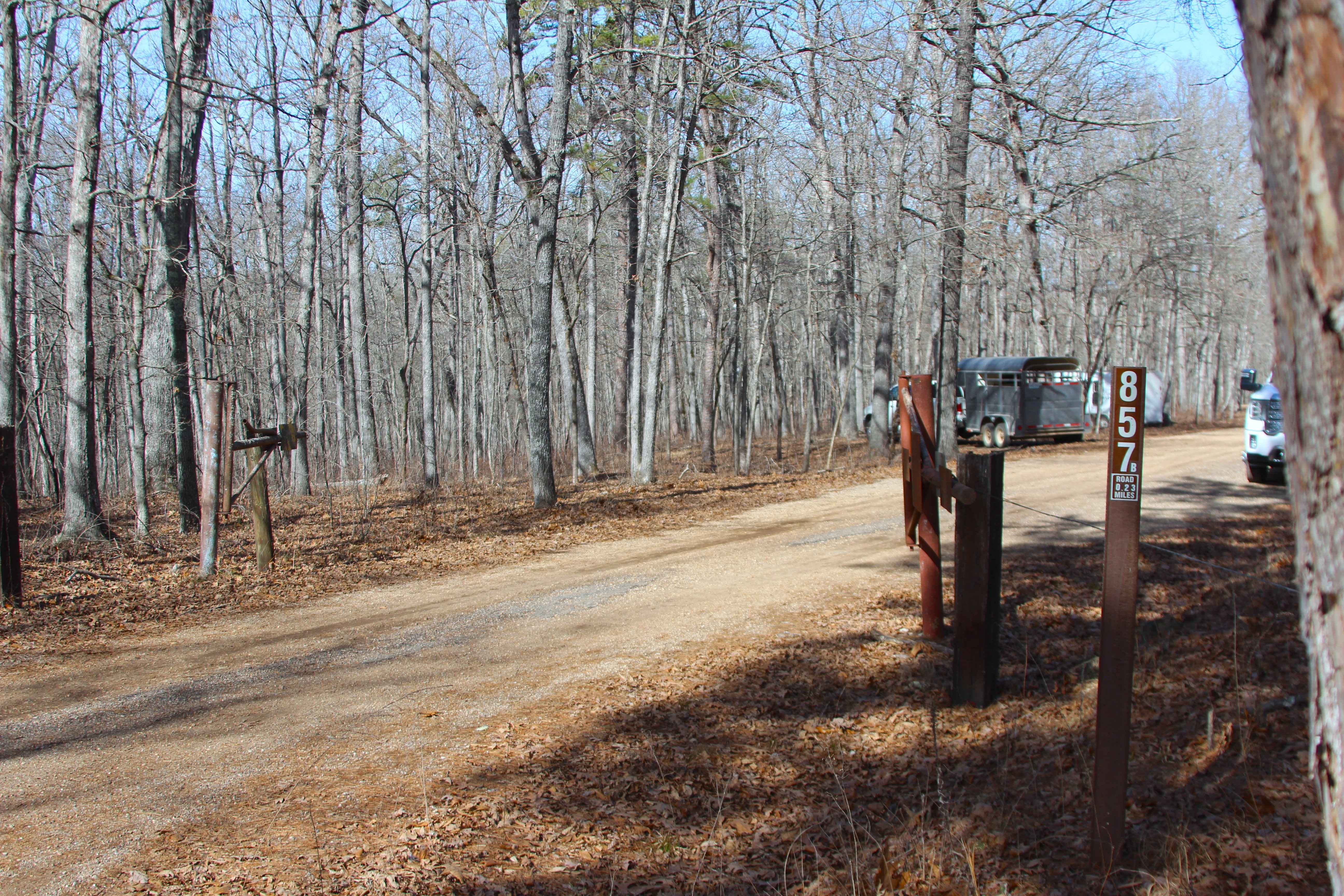
Sugar Hill Loop - FS 857B
Total Miles
0.3
Tech Rating
Easy
Best Time
Spring, Summer, Winter, Fall
Learn more about Surrott School - FS 591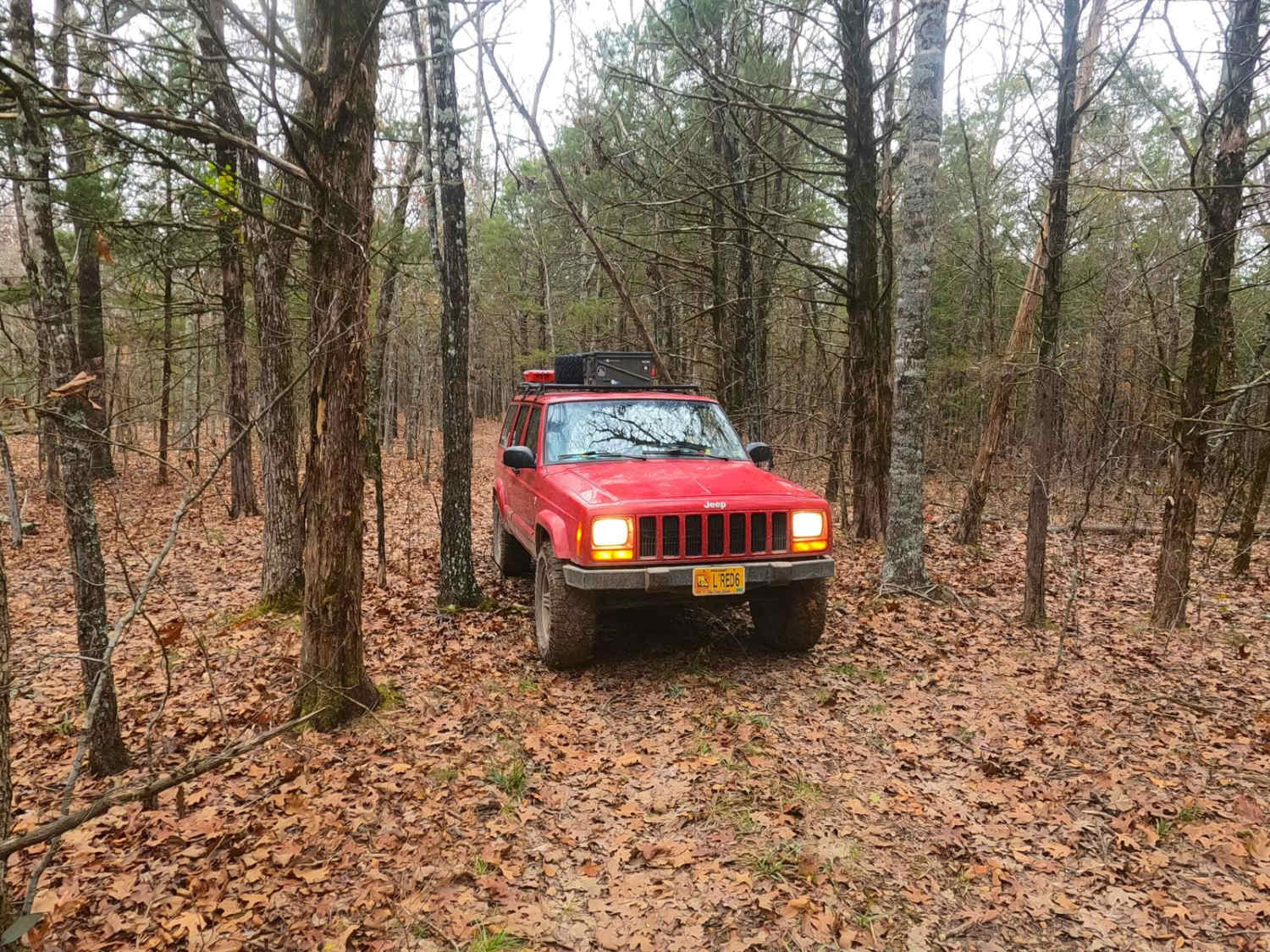
Surrott School - FS 591
Total Miles
1.9
Tech Rating
Easy
Best Time
Spring, Summer, Fall, Winter
Learn more about Sutton Bluff ATV 1 - SB 1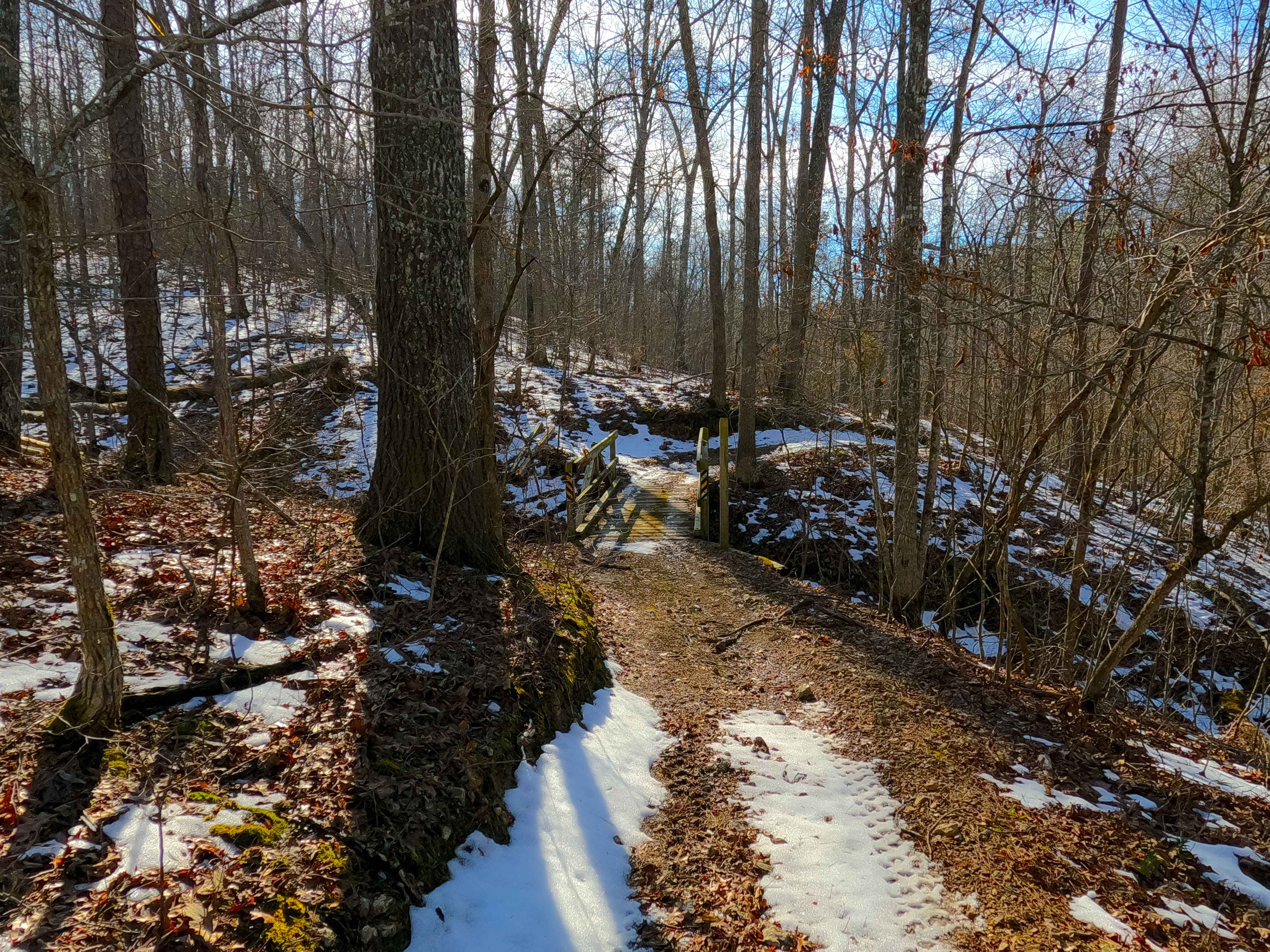
Sutton Bluff ATV 1 - SB 1
Total Miles
5.8
Tech Rating
Easy
Best Time
Spring, Summer, Fall, Winter
Learn more about Sutton Bluff ATV 10 - SB 10
Sutton Bluff ATV 10 - SB 10
Total Miles
1.6
Tech Rating
Easy
Best Time
Spring, Summer, Fall, Winter
Learn more about Sutton Bluff ATV 11 - SB 11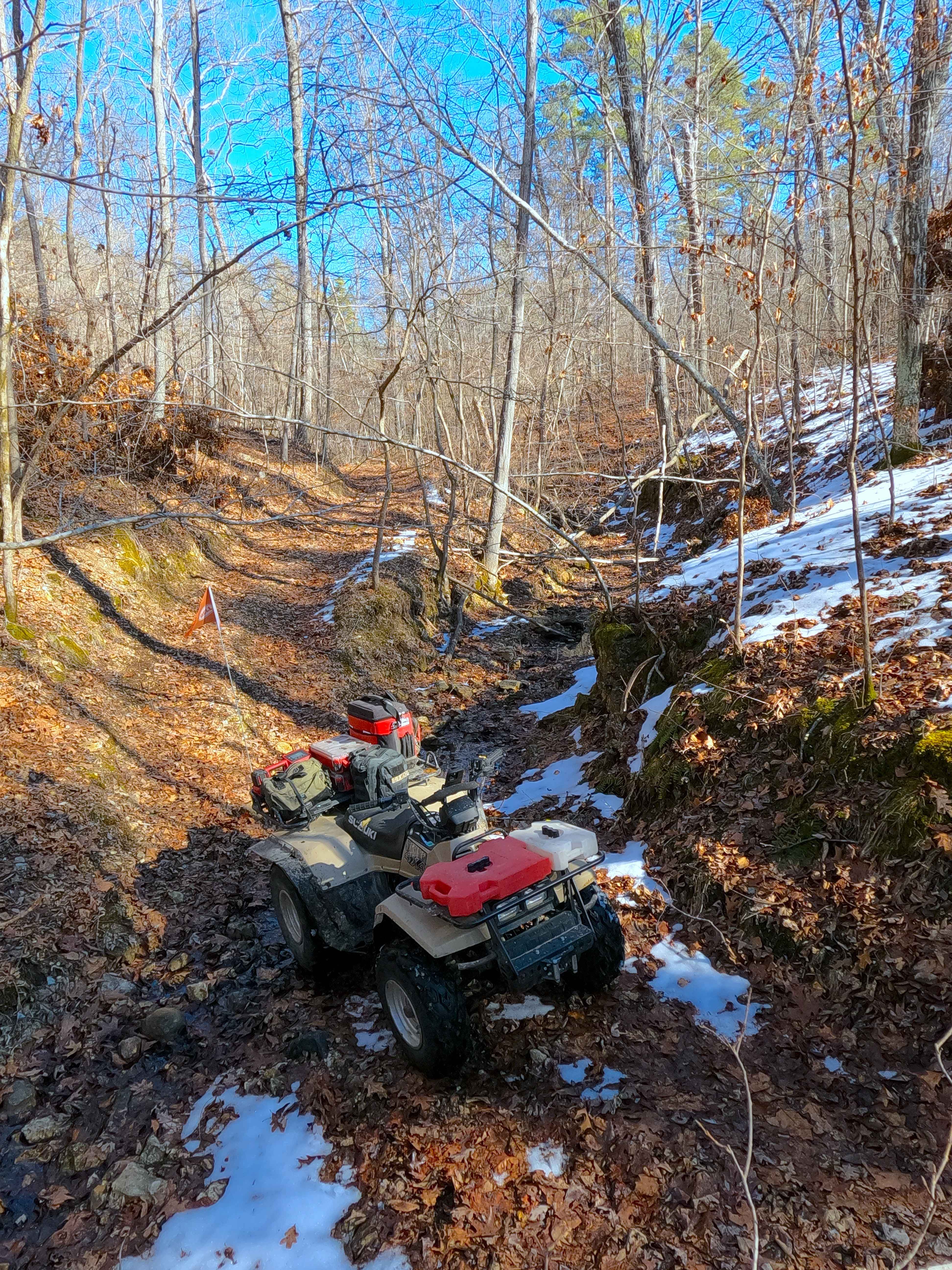
Sutton Bluff ATV 11 - SB 11
Total Miles
2.2
Tech Rating
Easy
Best Time
Spring, Summer, Fall, Winter
ATV trails in Missouri


Learn more about 4 of 5
4 of 5
Total Miles
0.0
Tech Rating
Difficult
Best Time
Spring, Summer, Fall, Winter
UTV/side-by-side trails in Missouri
Learn more about 4 of 5
4 of 5
Total Miles
0.0
Tech Rating
Difficult
Best Time
Spring, Summer, Fall, Winter
The onX Offroad Difference
onX Offroad combines trail photos, descriptions, difficulty ratings, width restrictions, seasonality, and more in a user-friendly interface. Available on all devices, with offline access and full compatibility with CarPlay and Android Auto. Discover what you’re missing today!