Off-Road Trails in Missouri
Discover off-road trails in Missouri
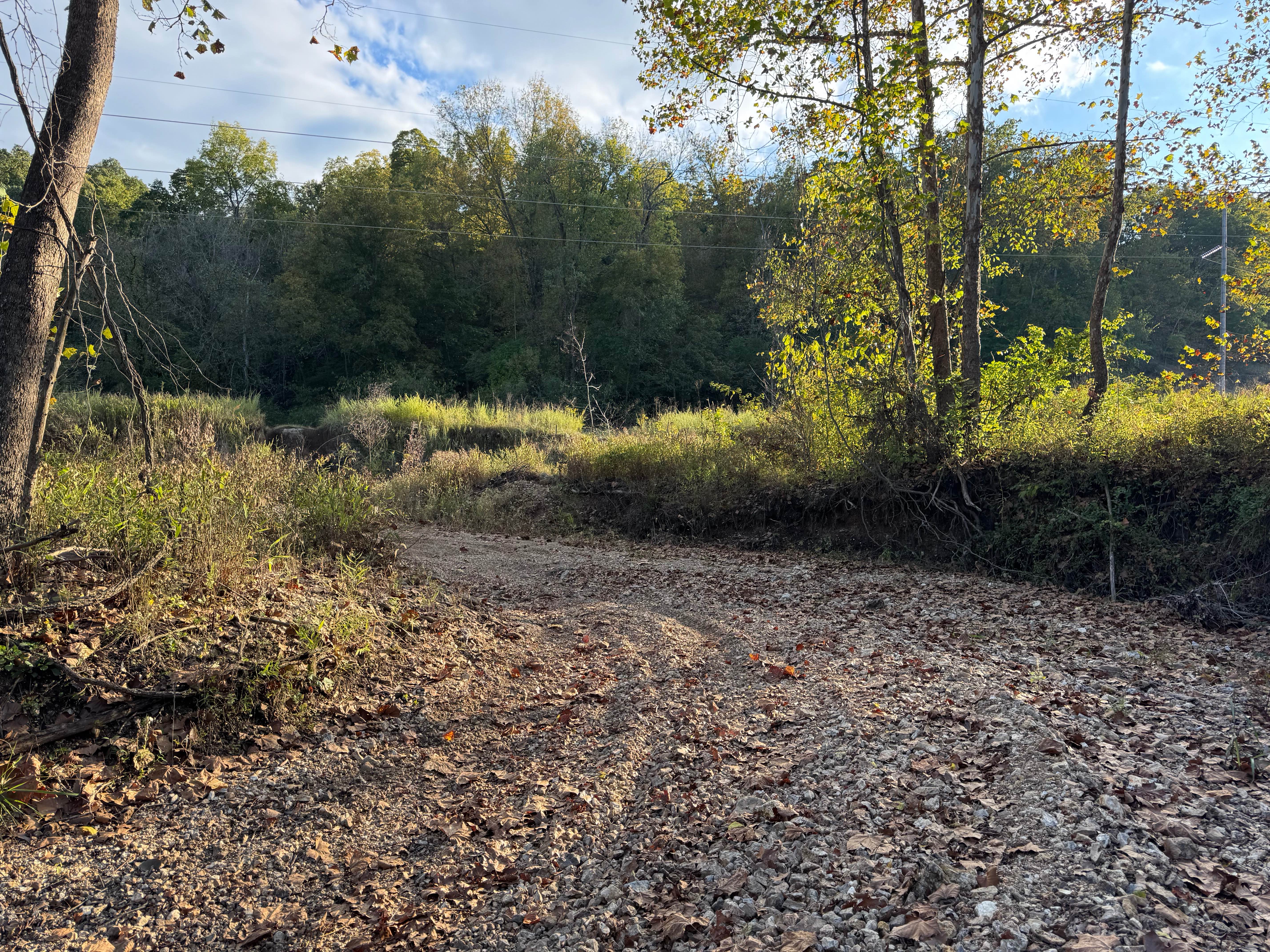
Learn more about Riverside Dirt Trail (Part 2) - 735A Road
Riverside Dirt Trail (Part 2) - 735A Road
Total Miles
0.2
Tech Rating
Easy
Best Time
Spring, Summer
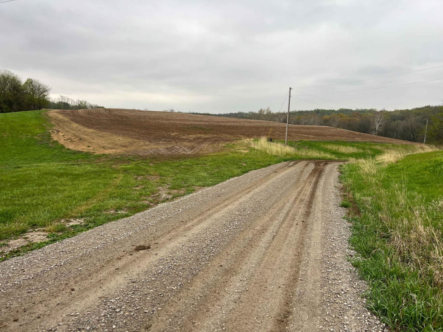
Learn more about Riverside Drive
Riverside Drive
Total Miles
0.2
Tech Rating
Easy
Best Time
Spring, Summer, Fall, Winter
Learn more about Roadkill Cafe - FS 504
Roadkill Cafe - FS 504
Total Miles
1.6
Tech Rating
Easy
Best Time
Spring, Summer, Fall, Winter
Learn more about Robin Hood - FS 714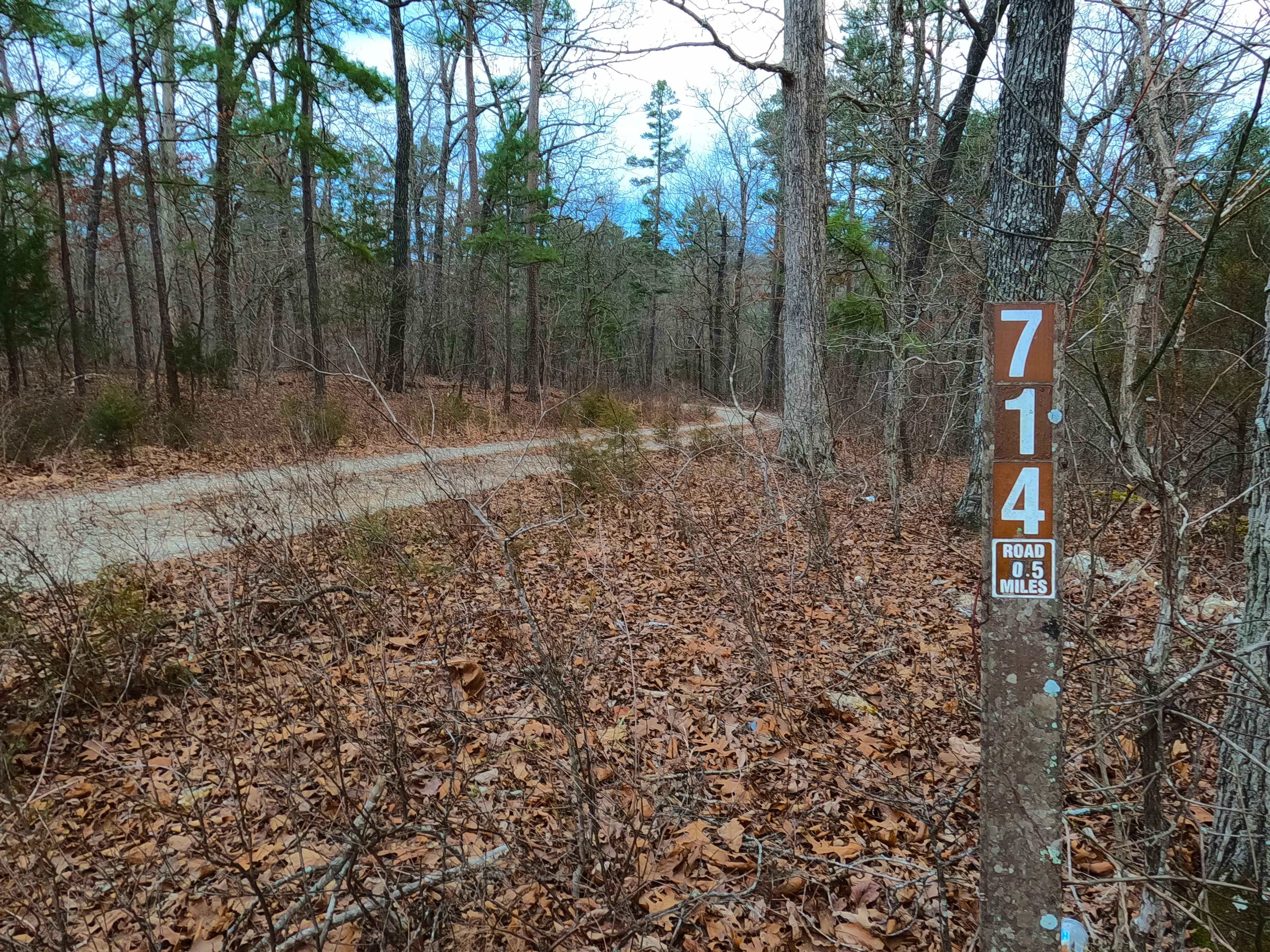
Robin Hood - FS 714
Total Miles
1.0
Tech Rating
Easy
Best Time
Spring, Summer, Fall, Winter
Learn more about Rock Bottom Bo-Co Road 210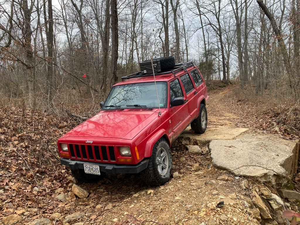
Rock Bottom Bo-Co Road 210
Total Miles
1.8
Tech Rating
Moderate
Best Time
Spring, Fall, Summer
Learn more about Rock Creek Road
Rock Creek Road
Total Miles
3.5
Tech Rating
Easy
Best Time
Spring, Summer, Fall, Winter
Learn more about Rock Ledge Trail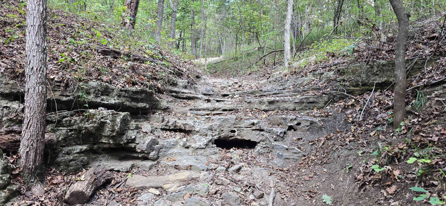
Rock Ledge Trail
Total Miles
0.6
Tech Rating
Moderate
Best Time
Spring, Summer, Fall, Winter
Learn more about Rock Step Creek 224
Rock Step Creek 224
Total Miles
0.1
Tech Rating
Moderate
Best Time
Spring, Summer, Fall, Winter
Learn more about Rocky Falls - SCR 526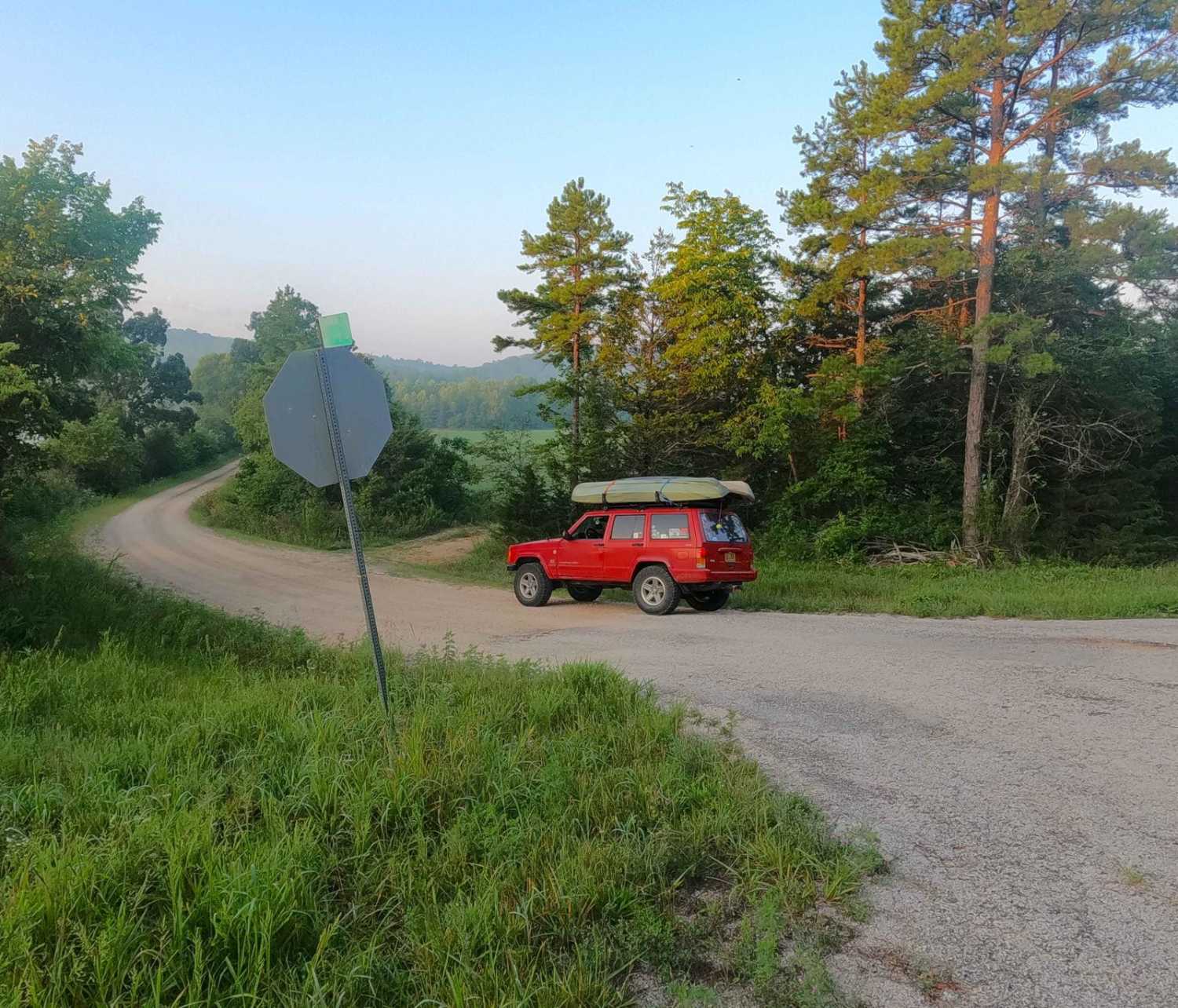
Rocky Falls - SCR 526
Total Miles
2.4
Tech Rating
Easy
Best Time
Spring, Summer, Fall, Winter
Learn more about Rocky Ravine
Rocky Ravine
Total Miles
0.2
Tech Rating
Easy
Best Time
Spring, Summer, Fall, Winter
Learn more about Rocky Ridge Loop
Rocky Ridge Loop
Total Miles
0.3
Tech Rating
Easy
Best Time
Spring, Summer, Fall, Winter
Learn more about Rocky Road
Rocky Road
Total Miles
0.3
Tech Rating
Difficult
Best Time
Spring, Summer, Fall, Winter
Learn more about Rocky Top - FS 2663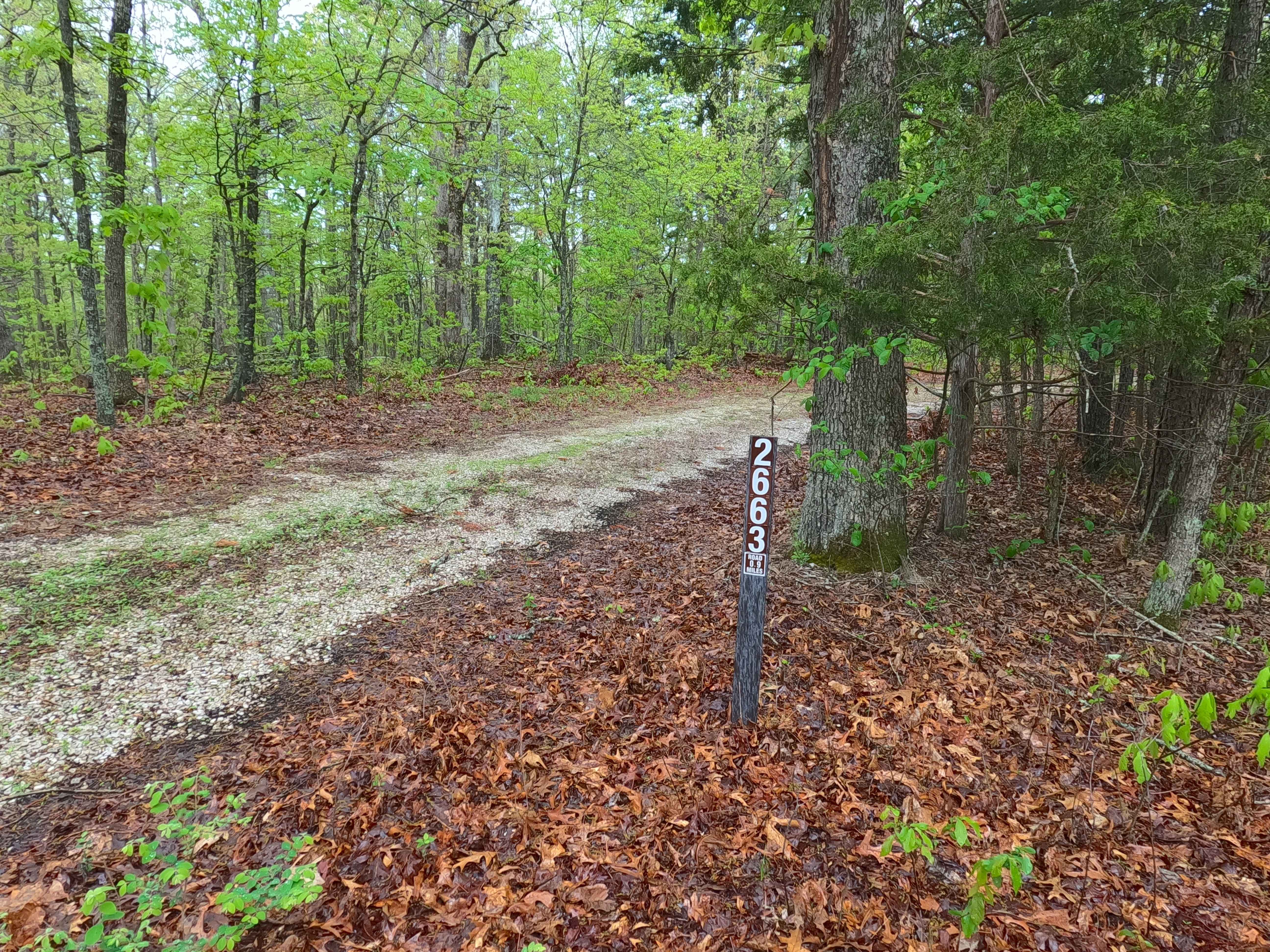
Rocky Top - FS 2663
Total Miles
1.1
Tech Rating
Easy
Best Time
Spring, Summer, Fall, Winter
Learn more about Roll Over 84
Roll Over 84
Total Miles
0.1
Tech Rating
Extreme
Best Time
Spring, Summer, Fall
Learn more about Rollercoaster
Rollercoaster
Total Miles
9.7
Tech Rating
Easy
Best Time
Spring, Summer, Fall, Winter

Learn more about Rugged Cross
Rugged Cross
Total Miles
0.4
Tech Rating
Easy
Best Time
Spring, Summer, Fall, Winter
ATV trails in Missouri


Learn more about 4 of 5
4 of 5
Total Miles
0.0
Tech Rating
Difficult
Best Time
Spring, Summer, Fall, Winter
UTV/side-by-side trails in Missouri
Learn more about 4 of 5
4 of 5
Total Miles
0.0
Tech Rating
Difficult
Best Time
Spring, Summer, Fall, Winter
The onX Offroad Difference
onX Offroad combines trail photos, descriptions, difficulty ratings, width restrictions, seasonality, and more in a user-friendly interface. Available on all devices, with offline access and full compatibility with CarPlay and Android Auto. Discover what you’re missing today!