Riverbreaks
Total Miles
6.4
Technical Rating
Best Time
Spring, Summer, Fall
Trail Type
Full-Width Road
Accessible By
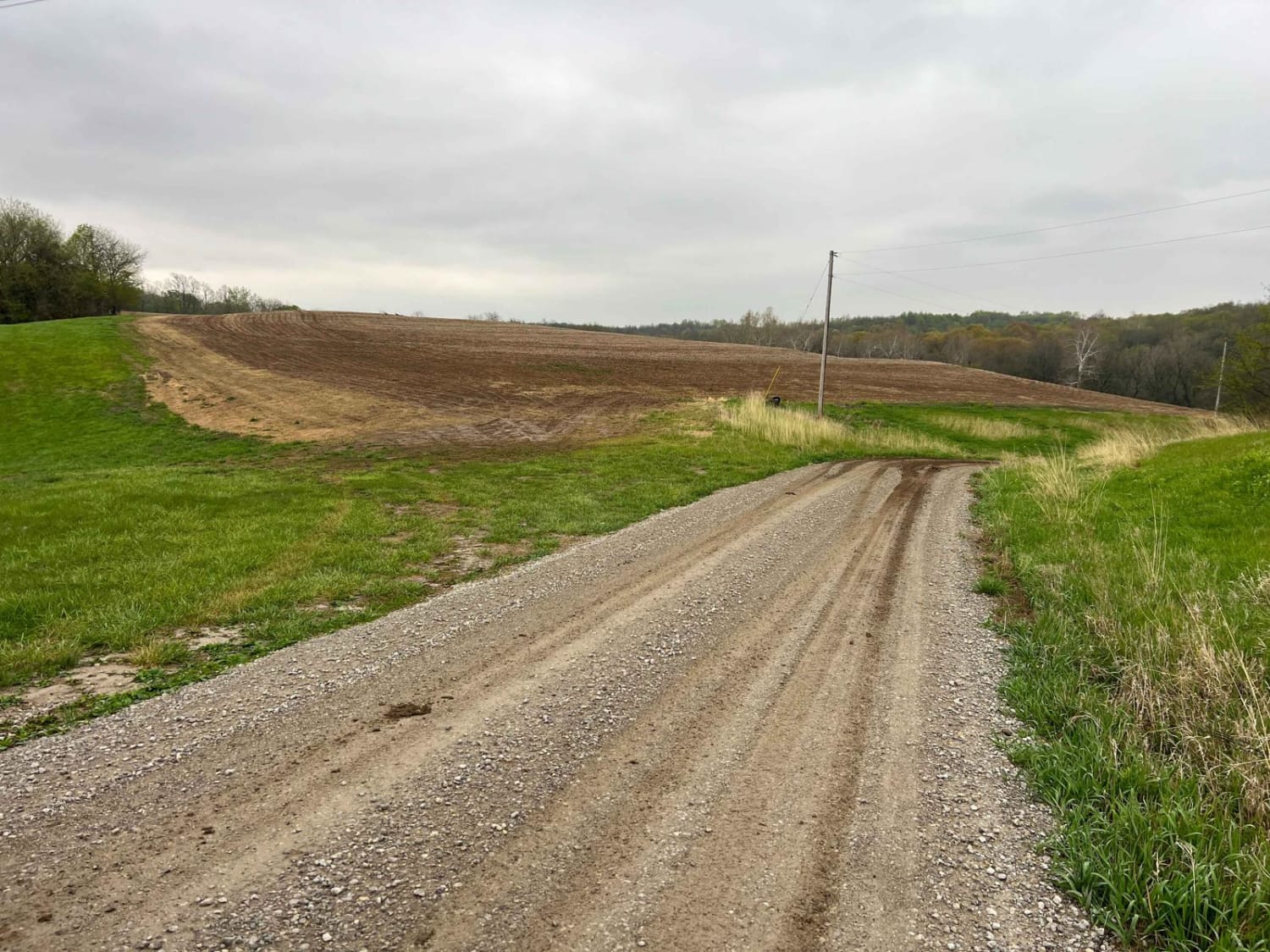
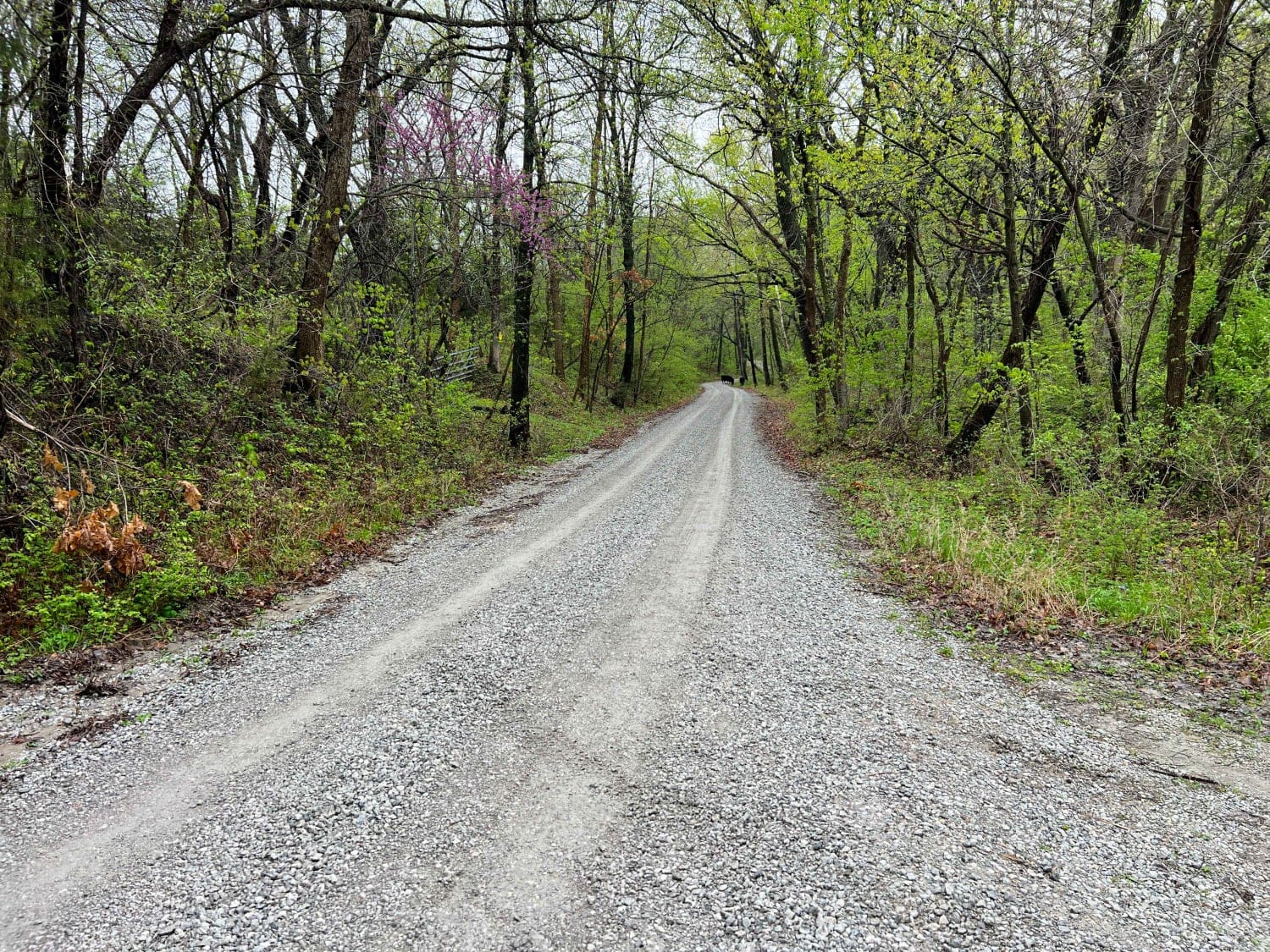
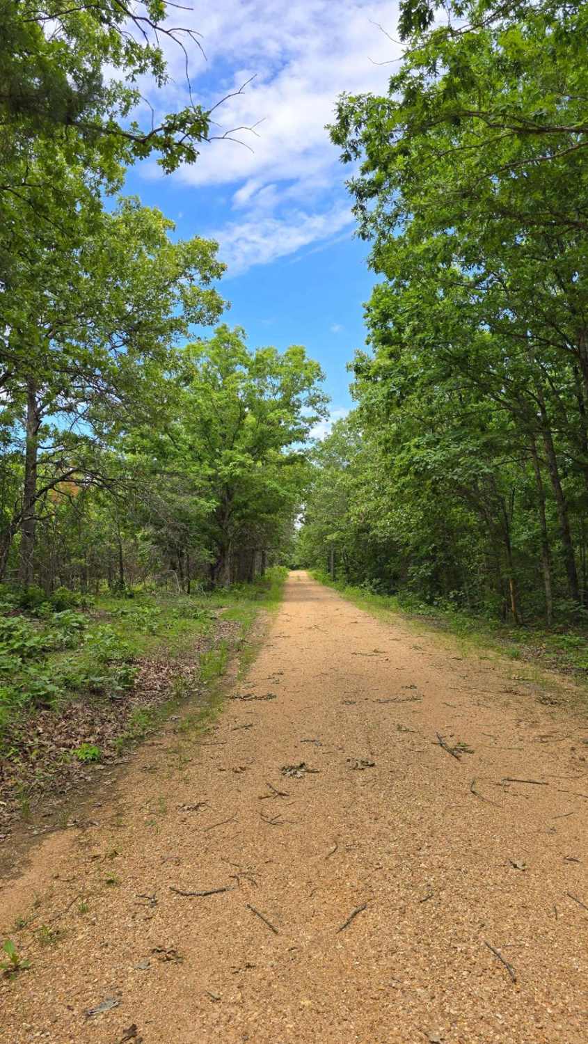
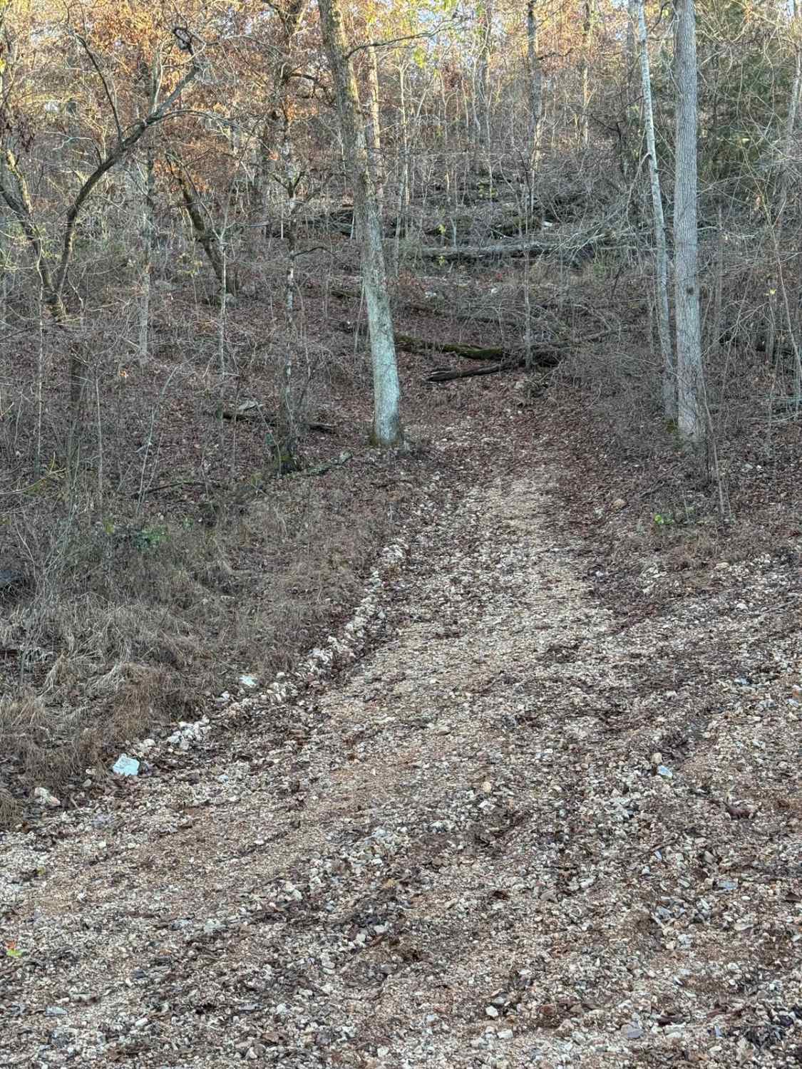
Trail Overview
Riverbreaks is a gravel road that climbs from the Missouri River bottoms turning onto Quebec Road. It is well-maintained gravel but can become soft and muddy after heavy rains. 4WD is recommended when visiting this area during bad weather or snow in order to climb out of the bluffs. There are many designated turnoffs for dispersed camping and hiking as well as a pistol and rifle range that is self-serve.
Photos of Riverbreaks
Difficulty
4WD is recommended when visiting this area during bad weather or snow in order to climb out of the bluffs.
Status Reports
Riverbreaks can be accessed by the following ride types:
- High-Clearance 4x4
- SUV
Riverbreaks Map
Popular Trails
Schott - FS 1516
Yellow 151

Mount Gilead Church FSR 2148

The onX Offroad Difference
onX Offroad combines trail photos, descriptions, difficulty ratings, width restrictions, seasonality, and more in a user-friendly interface. Available on all devices, with offline access and full compatibility with CarPlay and Android Auto. Discover what you’re missing today!