Mount Gilead Church FSR 2148
Total Miles
0.7
Technical Rating
Best Time
Spring, Fall, Summer, Winter
Trail Type
Full-Width Road
Accessible By

Trail Overview
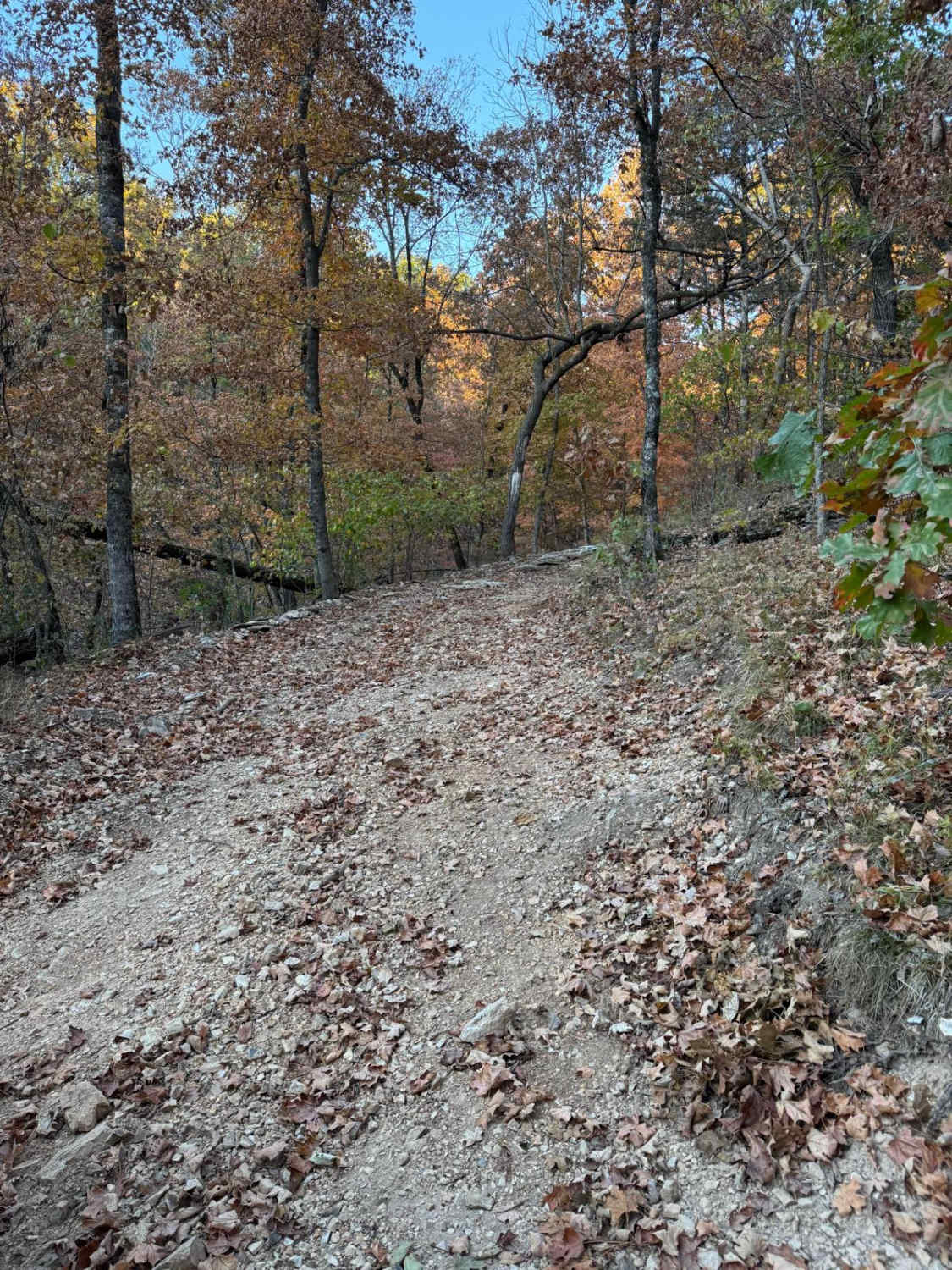
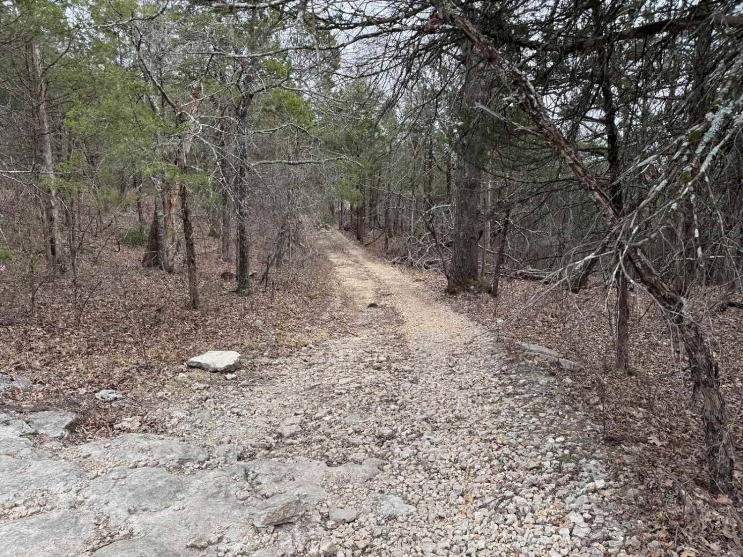
Mount Gilead Church FSR 2148, is a gravel forestry road that travels a small area of the Fredericktown sector of Mark Twain National Forest, within the northern hills of Madison County, Missouri. It features course gravel that was recently hauled in for logging purposes, there are a few mild hills and small water collection spots but is mostly easy riding, near the end the road turns to dirt and features a campable area and a turn around cut out.
Difficulty
The road is simple and mostly maintained. The gravel is coarse and bumpy, featuring mild water collection spots, and mounding, near the end the gravel stops and goes straight to dirt. There is subtle rutting and water collection within the tire path. The tree line tightens up, but shortly after ends at the edge of the Mark Twain National Forest and private property lines. There is a cut-out to easily spin around and head back out.
Status Reports
Mount Gilead Church FSR 2148 can be accessed by the following ride types:
- High-Clearance 4x4
- SUV
Mount Gilead Church FSR 2148 Map
Popular Trails

Wild Horses - SCR 211
Yellow 37

Heather FSR 3829
Fairview Connection - FSR 170A
The onX Offroad Difference
onX Offroad combines trail photos, descriptions, difficulty ratings, width restrictions, seasonality, and more in a user-friendly interface. Available on all devices, with offline access and full compatibility with CarPlay and Android Auto. Discover what you’re missing today!