Rock Bottom Bo-Co Road 210
Total Miles
1.8
Technical Rating
Best Time
Spring, Fall, Summer
Trail Type
High-Clearance 4x4 Trail
Accessible By
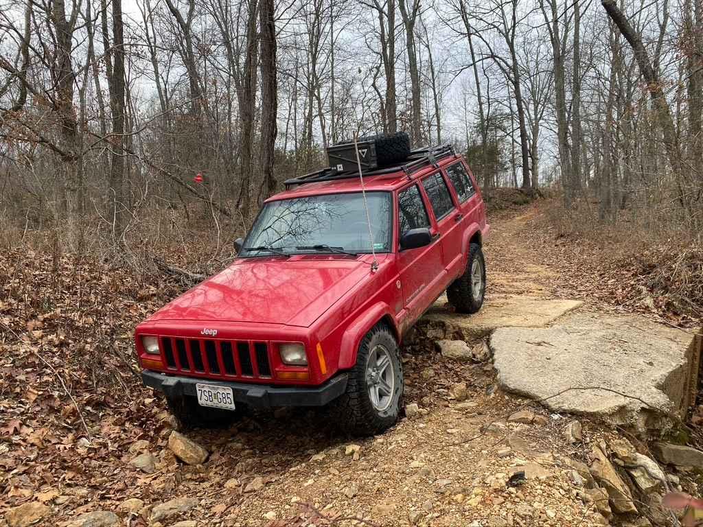
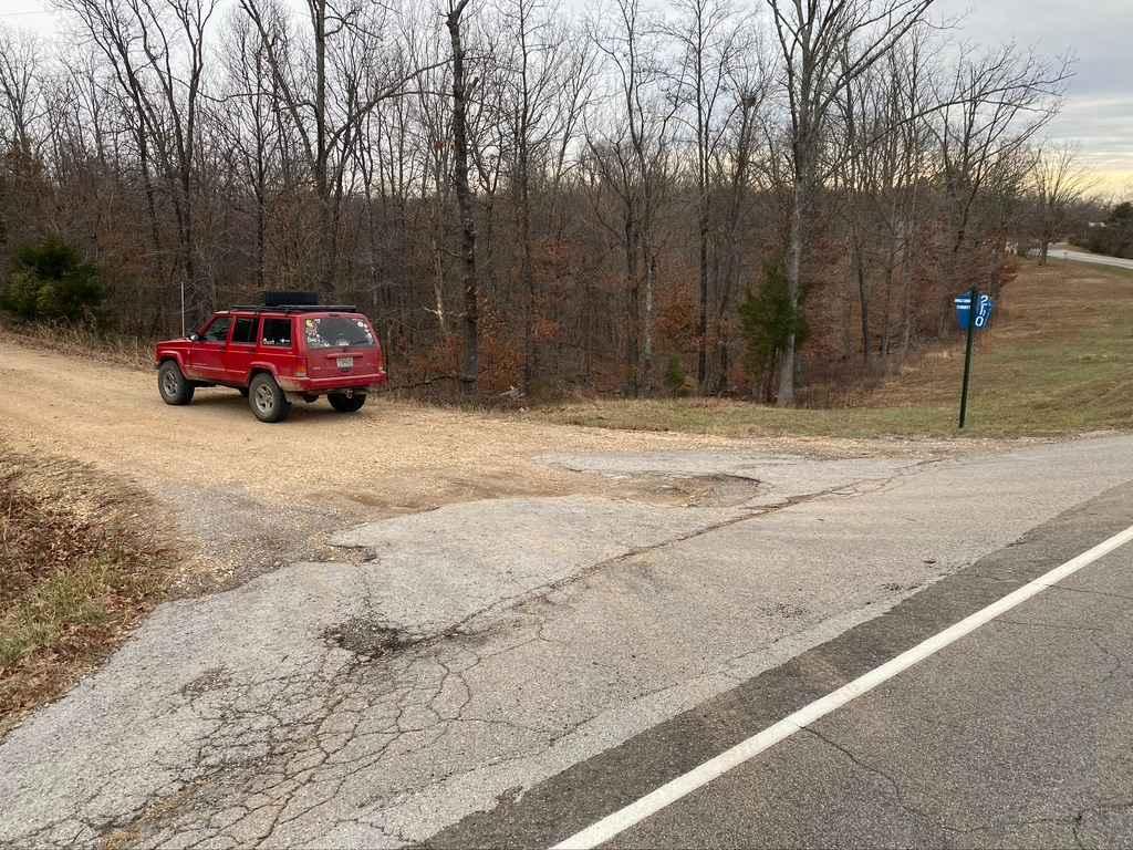
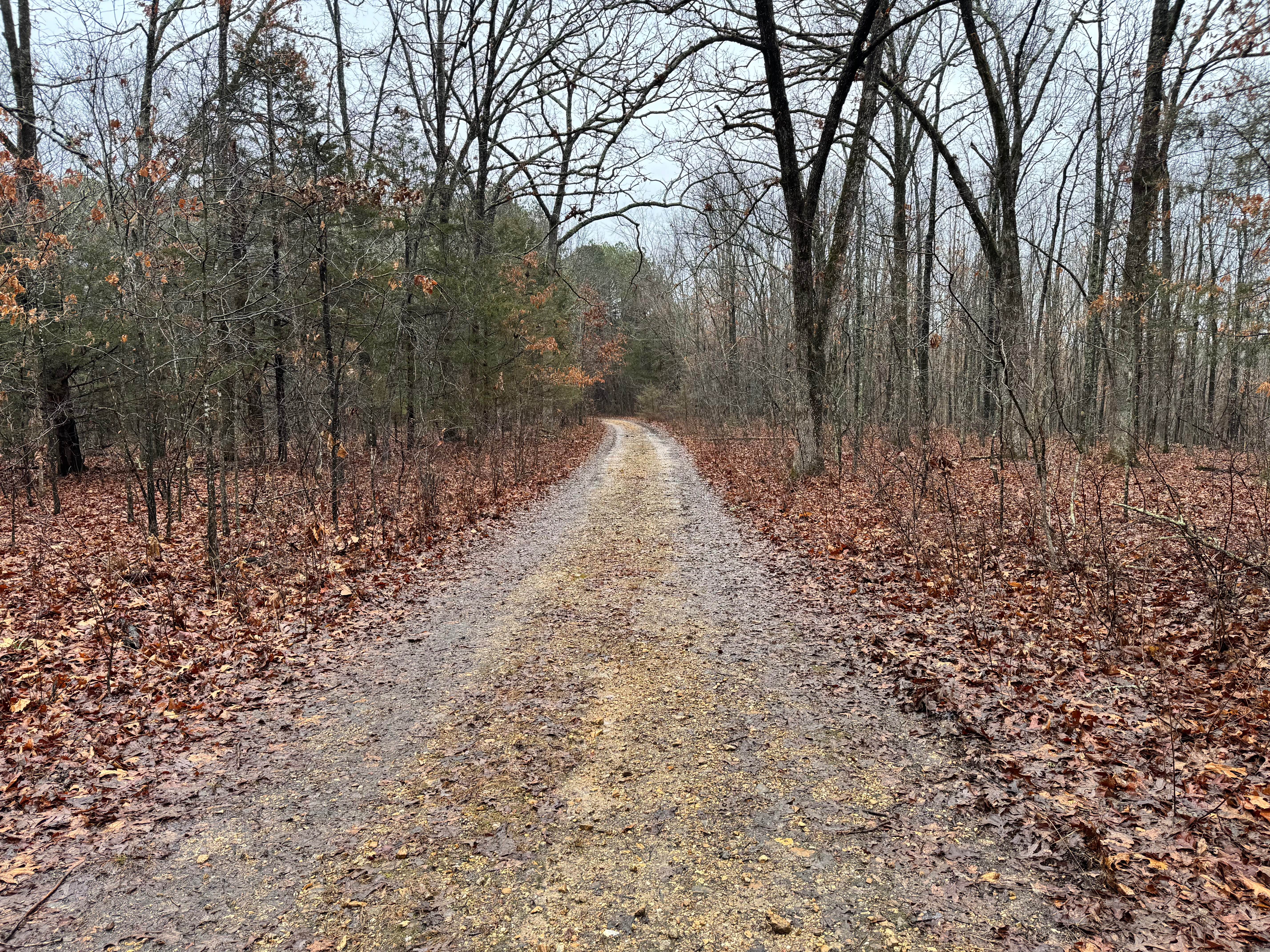
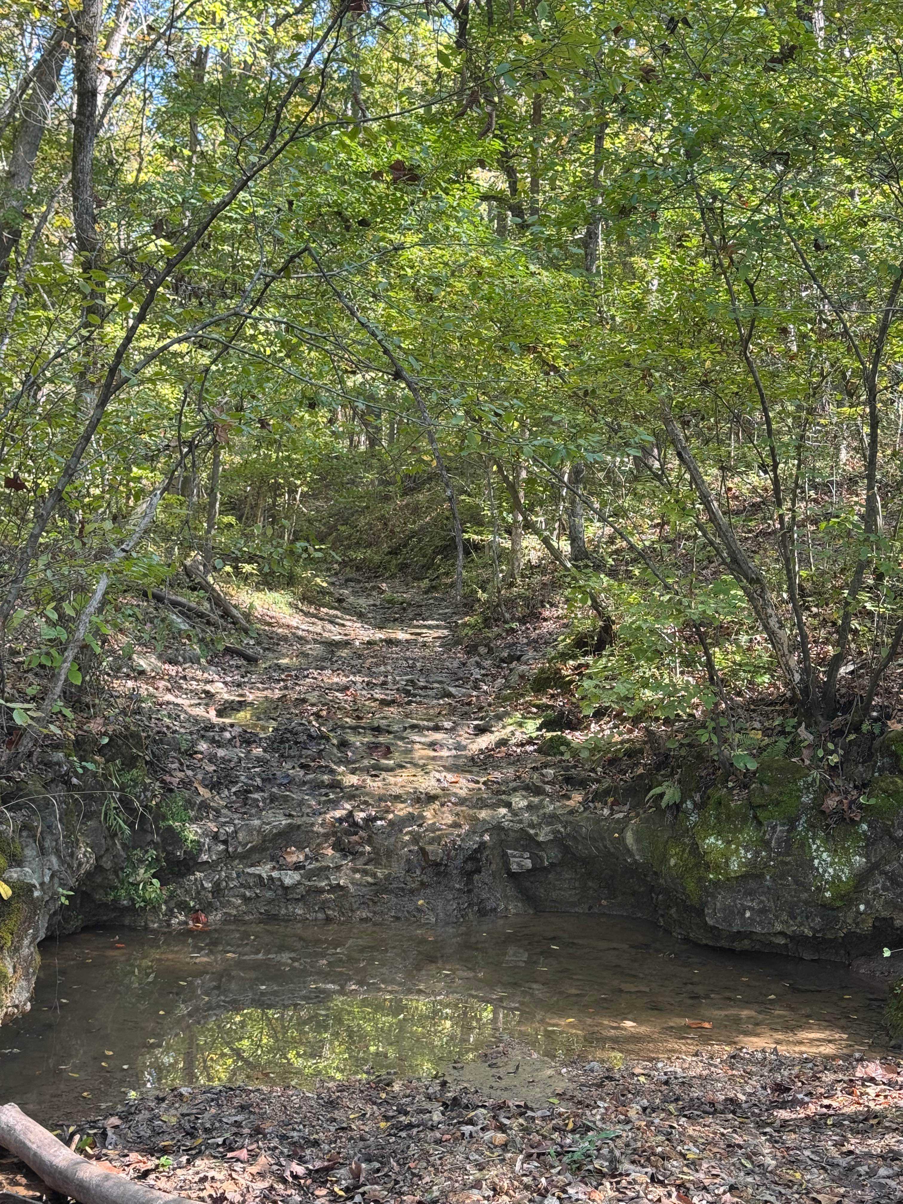
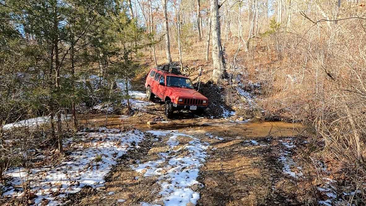
Trail Overview
The Bollinger County Road 210, is a county road that eventually turns into a (once commonly used) rock road that has degraded into the washed-out small creek bottom. From West to East, the road is mostly easy up to the halfway point with only minor obstacles being rutting and a shallow water crossing at a low water bridge. Then the road becomes unmaintained, ruts start to get deeper and the road tightens. This leads you to the first big obstacle the first low water bridge that has been washed out on one end (18" drop). This is also based on a tight 90-degree turn to add to the difficulty. This leads you into the mostly bigger 3" plus rock bottom road section of the creek, there are occasionally bigger rocks that have to be climbed over the dead center in the path. In this area the creek also has a few water collection areas that can be up to 12" deep. You then connect to a short section of more stable gravel road, but shortly hit the second washed-out low water bridge, at this one you can drop down up to 24" at one side. Then the trail enters the deepest section of the creek bottoms, which is up to 18" deep, for roughly 300-700 ft long. This slowly fades back into a 3" plus rock bottom road, eventually transitioning into a common gravel county road. It is a great intermediate trail to ride, requires 4WD and wise choices of lines over the obstacles, vehicle traversing this should have a decent amount of clearance and flex. If you want a simpler ride go West to East, for harder East to West. Road-closed caution signs are present at the entrances to the harder sections of the trail, this is not an enforceable road-closed sign due to being on an (outdated) warning caution yellow sign rather than a white regulation sign, so "use caution the road is closed to general traffic". In reality, it is traversable via a good 4WD, know your rights and weigh the risk. Difficulty only increases in wet and rainy conditions.
Photos of Rock Bottom Bo-Co Road 210
Difficulty
This is the first trail I have come across that I feel has as much Rock as it does gravel, so I chose rock as the primary surface type. This road is not for the faint at heart, it has a fair amount of challenges including a little mud, and ruts, but even more so washes, loose rock, water crossings, heavy rock, off-camber sections, drop-offs, and smaller natural rock slabs that you have to flex over amongst all that was just said before. Great ride, look forward to returning and running East to West for more challenges.
Status Reports
Rock Bottom Bo-Co Road 210 can be accessed by the following ride types:
- High-Clearance 4x4
Rock Bottom Bo-Co Road 210 Map
Popular Trails
Waterfall Run
Tennyson Hollow West - FS 507

The onX Offroad Difference
onX Offroad combines trail photos, descriptions, difficulty ratings, width restrictions, seasonality, and more in a user-friendly interface. Available on all devices, with offline access and full compatibility with CarPlay and Android Auto. Discover what you’re missing today!