Rocky Falls - SCR 526
Total Miles
2.4
Technical Rating
Best Time
Spring, Summer, Fall, Winter
Trail Type
Full-Width Road
Accessible By
Trail Overview
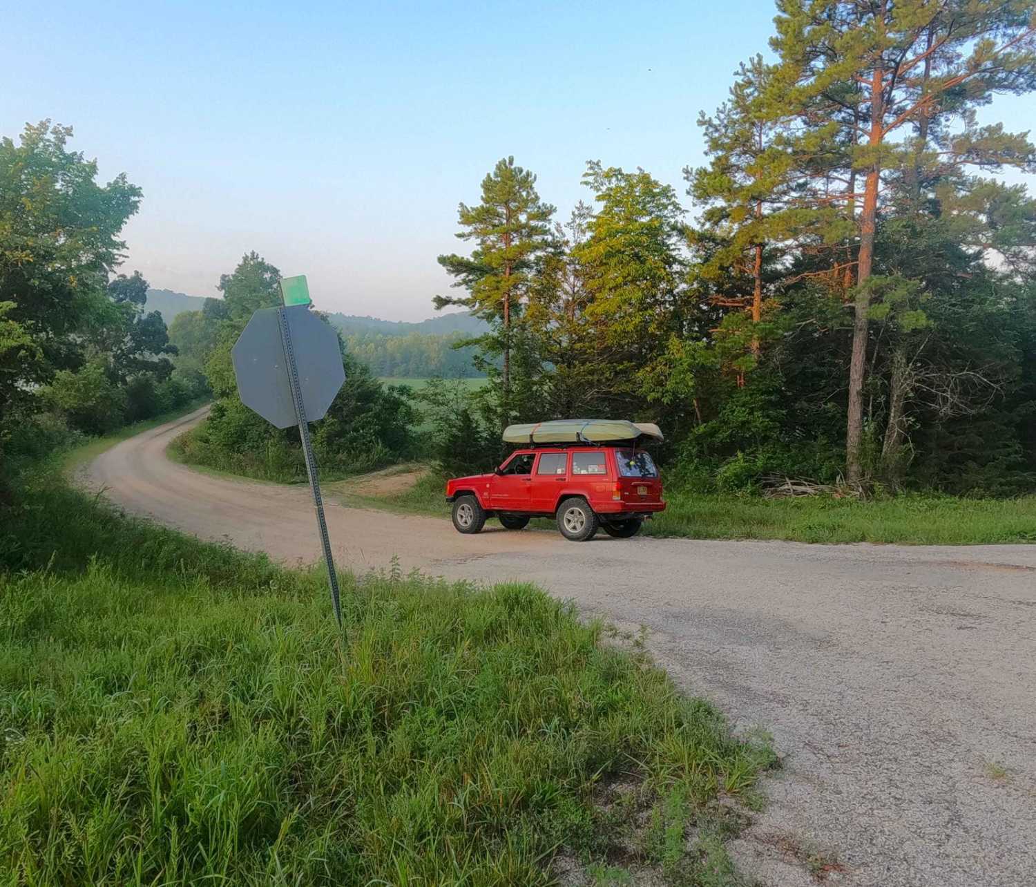
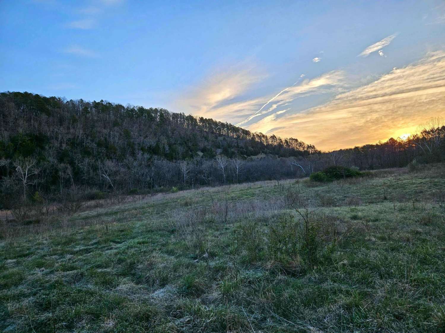
Rocky Falls or Shannon County Road 526 is a gravel and natural creek road within the Ozark National Scenic Riverway, Rocky Creek Missouri Department of Conservation Area, and Shannon County land. The road traverses through the hollows and hills surrounding the famous swimming hole and point of interest called Rocky Falls, where Rocky Creek drops 50 feet in elevation gradually over a shut-in rock formation to a pool below. The Falls parking lot features a vault bathroom, picnic tables, and trash cans, and is a great place to take a break or lunch, possibly a fun swim break while out offroad exploring the area. As for the trail, you will encounter graceful gravel tracking between several styles of creek crossings, being bottomed by natural coarse creek gravel, low water bridges, and 6-10" cobbles, while experiencing the neighboring farmland and forests of the public lands as the surrounding backdrop. Just south of the falls parking lot, a second lot is available for access to the Ozark Trail (hiking trail) that connects the falls to other popular spots such as Klepzig Mill and Stegall Mountain. Be alert for horse riders, pass them slowly with care, and check the forecast and water levels to prevent encountering flood or high water scenarios on the road.
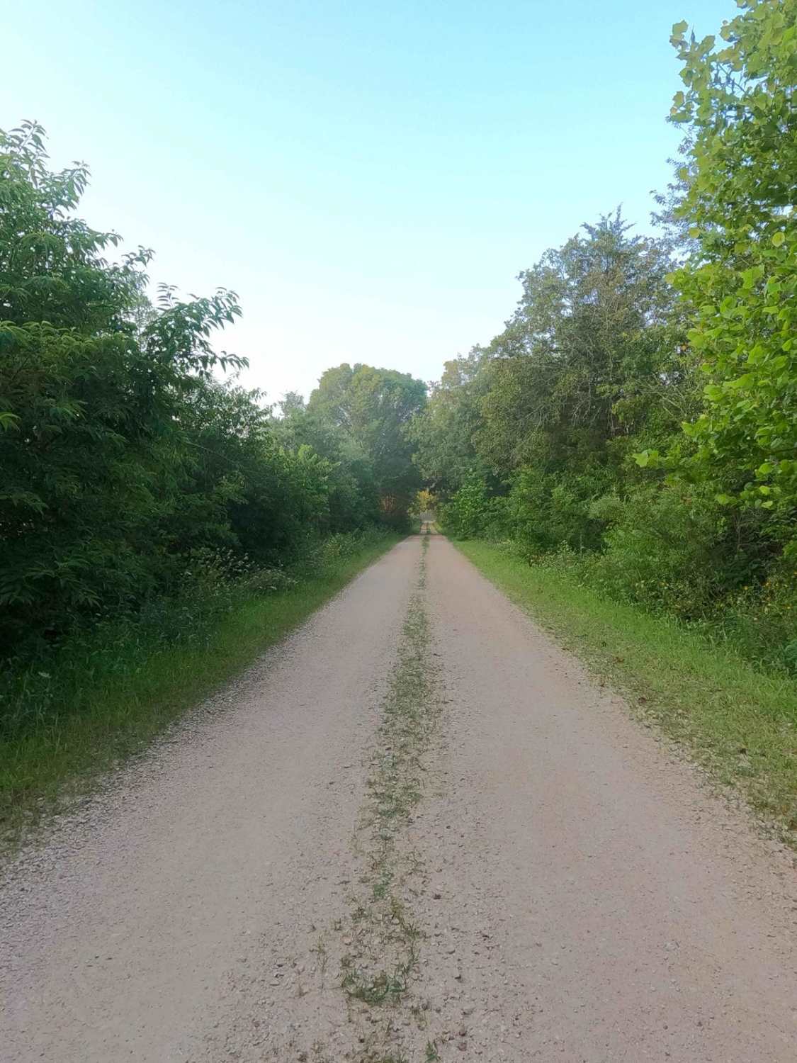
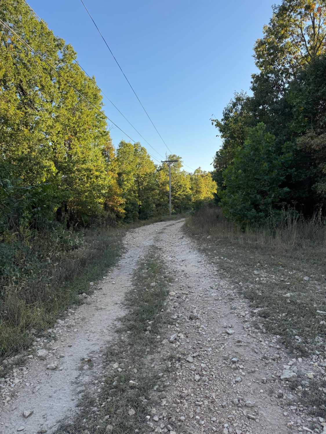
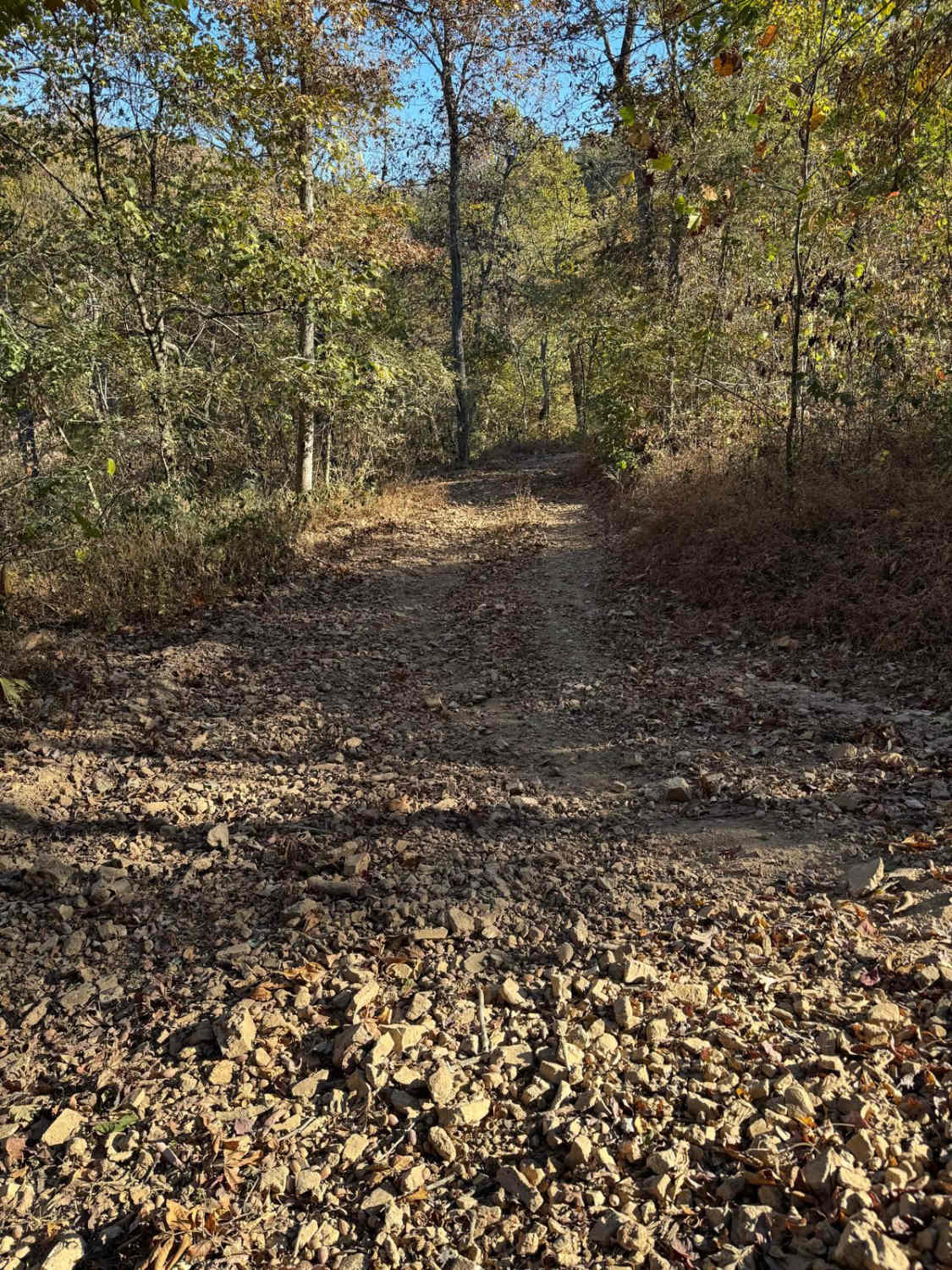
Photos of Rocky Falls - SCR 526
Difficulty
Rocky Falls, is given a base rating of 2/10 for having shallow water crossings and splashes along its track, most being right at 6" deep, but the main crossing just south of the Falls parking lot, could range more towards 9 to 12" deep. Outside this, the road is generally well-maintained in its gravel sections only having mild grades and mild erosion, with the potential of small natural 6" cobbles on the edges of the road and natural rock sticking out at the surface in the road. Expect the normal gravel road complications of potholes, mounding, and washboards. Difficulty could increase in times of heavy rain, adding water depth to the creek crossing points, or in extreme scenarios of flooding in the creek area.
History
"Few places in the Ozarks provide a glimpse of earth's turbulent past as well as Rocky Falls. The reddish-brown rock you see here is rhyolite porphyry. It formed as molten rock deep within the earth and flowed onto the surface about 1.5 billion years ago. At the time, no living thing existed to see the awesome flow of glowing hot lava slowly advancing over the barren landscape. Normally, a stream eroding softer dolomite, a type of limestone, would make a wider valley for itself. Since the rhyolite is harder, the stream tends to stay within whatever cracks that it finds, deepening them only a little by erosion. Thus a"shut-in" is formed where the harder rock has "shut in" the stream. Farther downstream, past the constricting rhyolite, the stream valley widens once again. This allows the stream to expand into a pool." Sourced from https://www.nps.gov/places/rocky-falls.htm
Status Reports
Rocky Falls - SCR 526 can be accessed by the following ride types:
- High-Clearance 4x4
- SUV
Rocky Falls - SCR 526 Map
Popular Trails

Wayne - CR 207
The onX Offroad Difference
onX Offroad combines trail photos, descriptions, difficulty ratings, width restrictions, seasonality, and more in a user-friendly interface. Available on all devices, with offline access and full compatibility with CarPlay and Android Auto. Discover what you’re missing today!