Yellow 62
Total Miles
0.1
Technical Rating
Best Time
Spring, Summer, Fall
Trail Type
Full-Width Road
Accessible By
Trail Overview
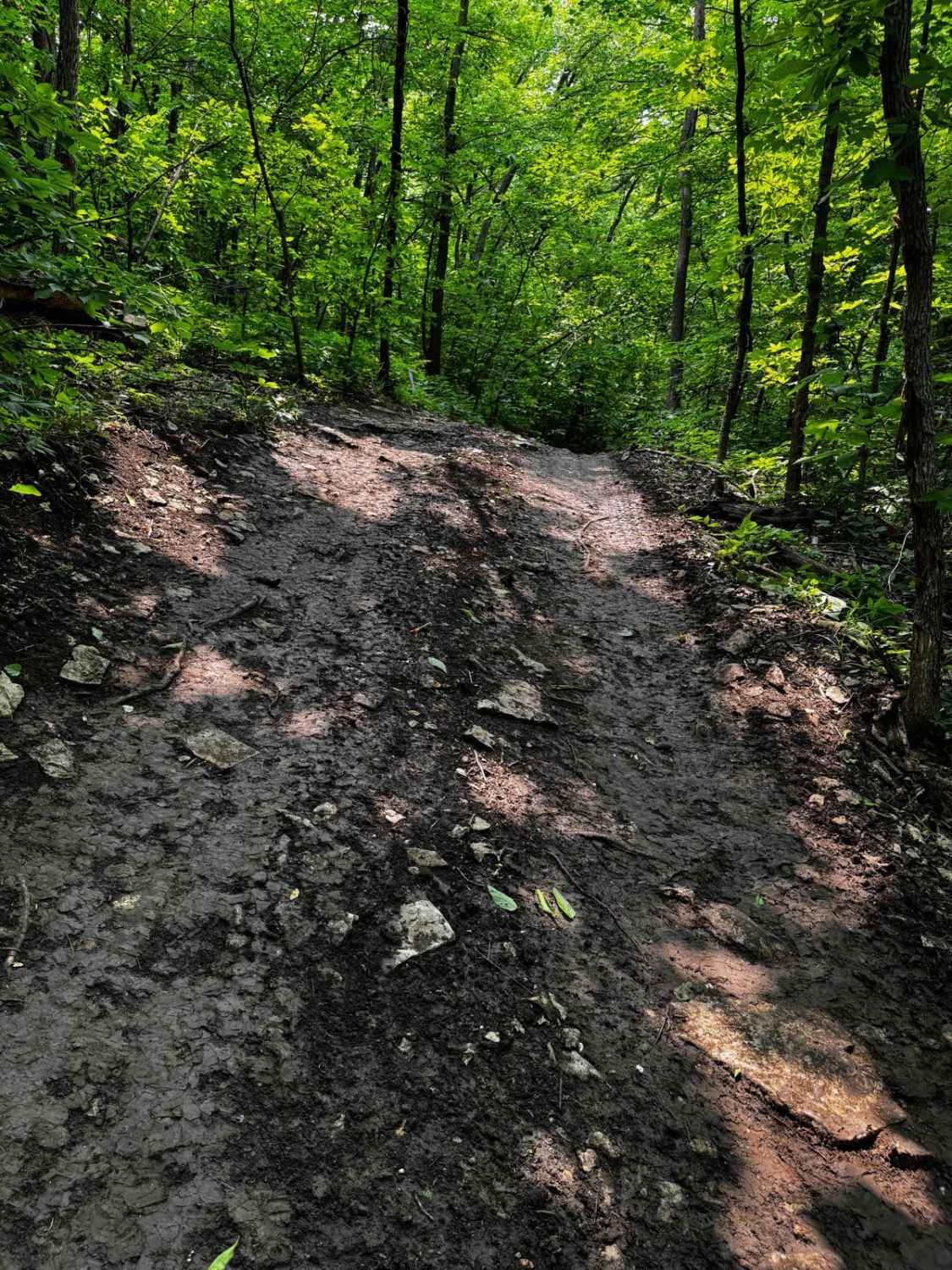
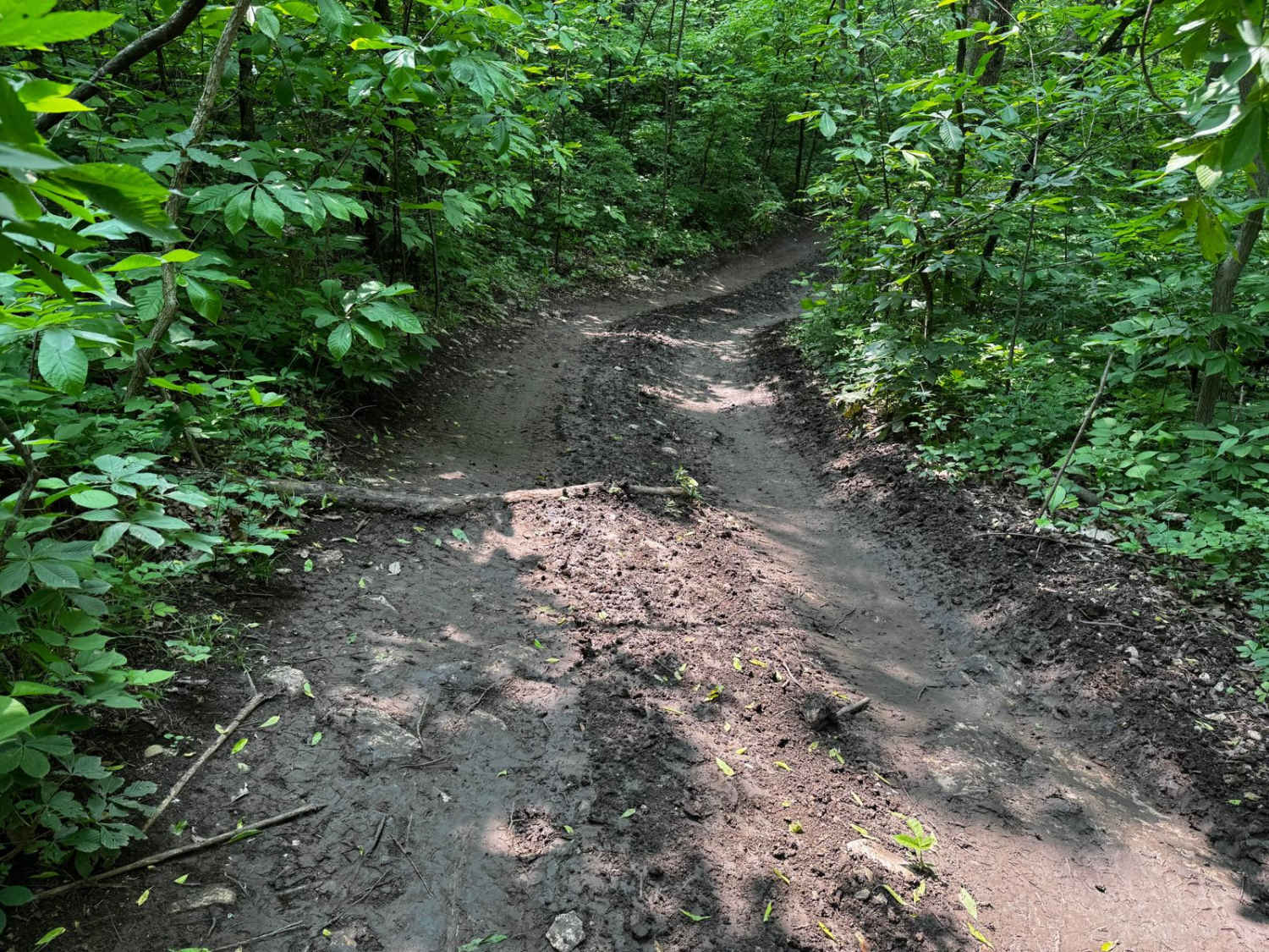
This trail features sections with up to a 20-degree off-camber angle and a fairly steep downhill stretch that narrows between closely spaced trees. When wet, the surface becomes quite slippery, increasing the risk of sliding into the trees. The trail connects to Yellow 61 at the top and Yellow 64 at the bottom, demanding careful and controlled driving throughout.
Photos of Yellow 62
Difficulty
This trail demands precise vehicle control due to its steep downhill segments and significant off-camber angles reaching 20 degrees. The narrow path between trees leaves little room for error, especially when wet, as traction decreases and sliding becomes more likely. Drivers should be prepared for technical challenges along this route.
Status Reports
Yellow 62 can be accessed by the following ride types:
- High-Clearance 4x4
- SUV
- SxS (60")
- ATV (50")
- Dirt Bike
Yellow 62 Map
Popular Trails

Yellow 99

Yellow 142

Little Brushy Ridge
The onX Offroad Difference
onX Offroad combines trail photos, descriptions, difficulty ratings, width restrictions, seasonality, and more in a user-friendly interface. Available on all devices, with offline access and full compatibility with CarPlay and Android Auto. Discover what you’re missing today!