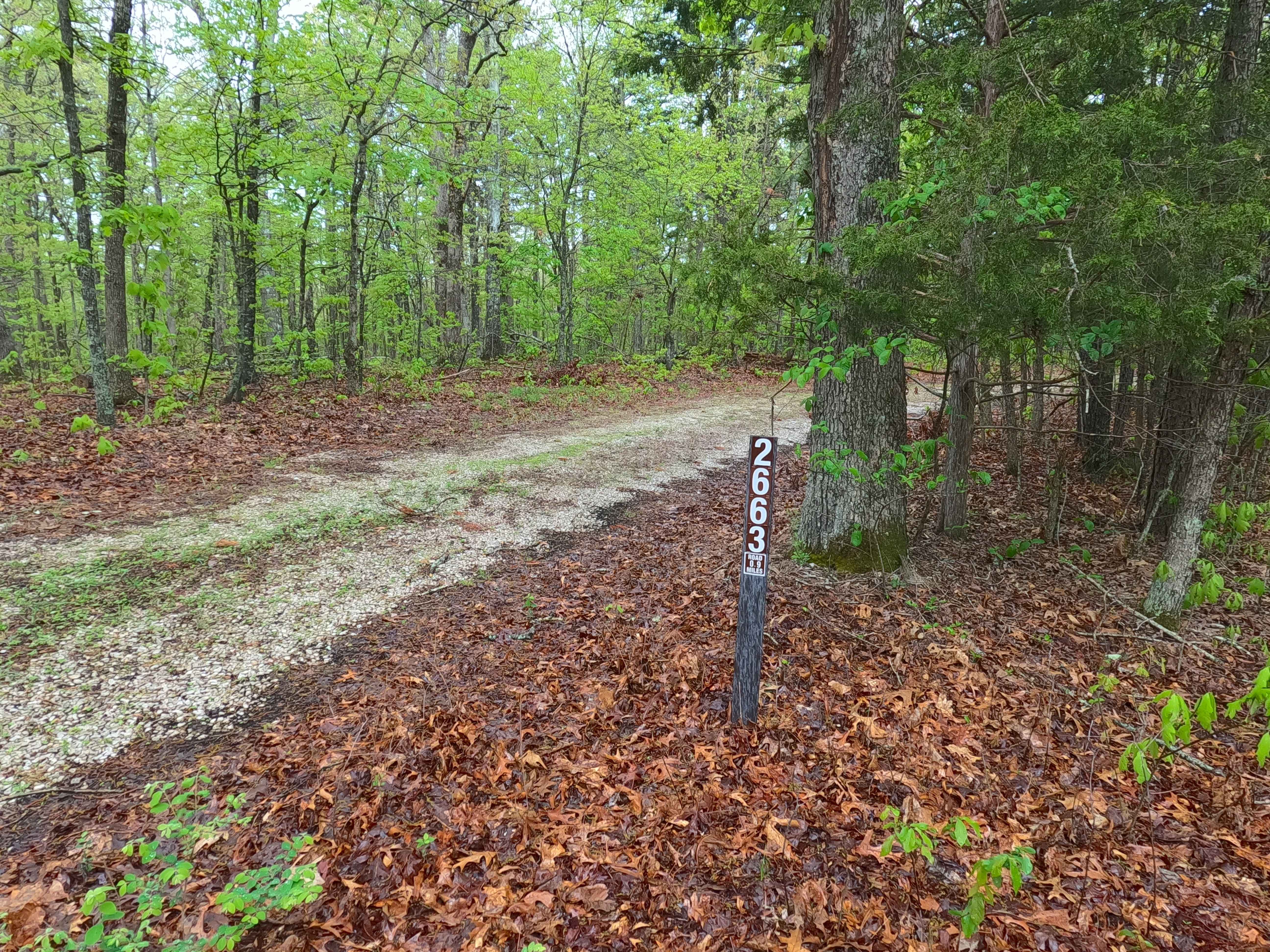
Rocky Top - FS 2663
Total Miles
1.1
Technical Rating
Best Time
Spring, Summer, Fall, Winter
Trail Type
Full-Width Road
Accessible By
Trail Overview
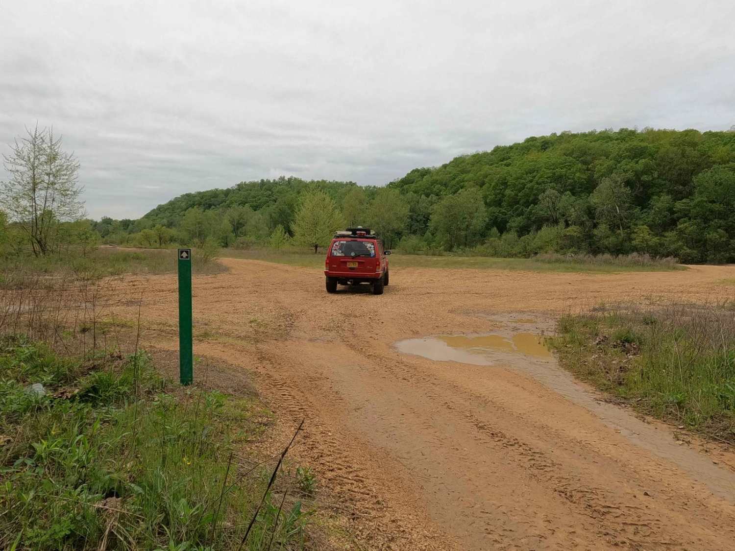
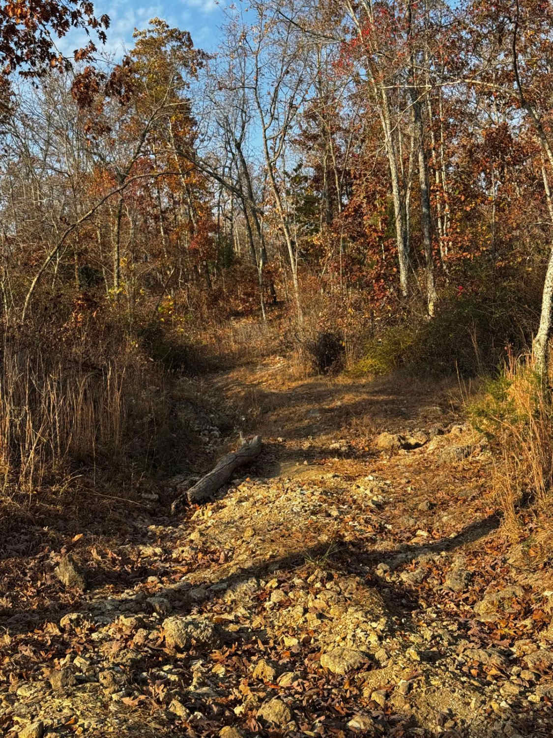
Rocky Top FS 2663 is a semi-maintained gravel road leaning into natural improvements within the Potosi Unit of Mark Twain National Forest. The road branches off the Ironwash ICR 9 FS 2664, heading southwest, traversing the ridge, turning into a gradual hill that lowers into the valley where the road crosses a feeder branch of the Cub Creek. After the water splash crossing the road climbs back uphill over mild erosion before leveling out on the next ridge top, where the trail starts to fade into thicker foliage and more natural terrain, to conclude at an endpoint turnaround. Rocky Top is a fun side quest to stay at the nearby Council Bluff Lake and Campground, or a great candidate for a more intimate dispersed camp, or hunting spot, with just a little thrill along the way.
Photos of Rocky Top - FS 2663

Difficulty
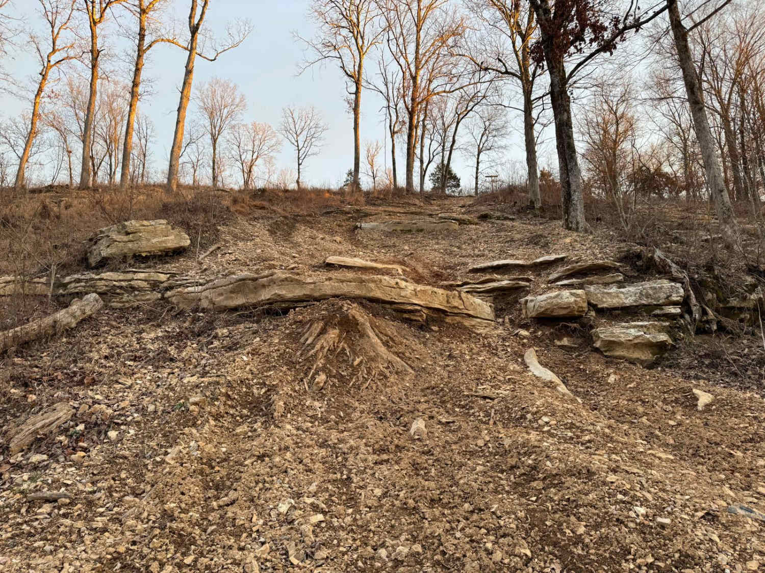
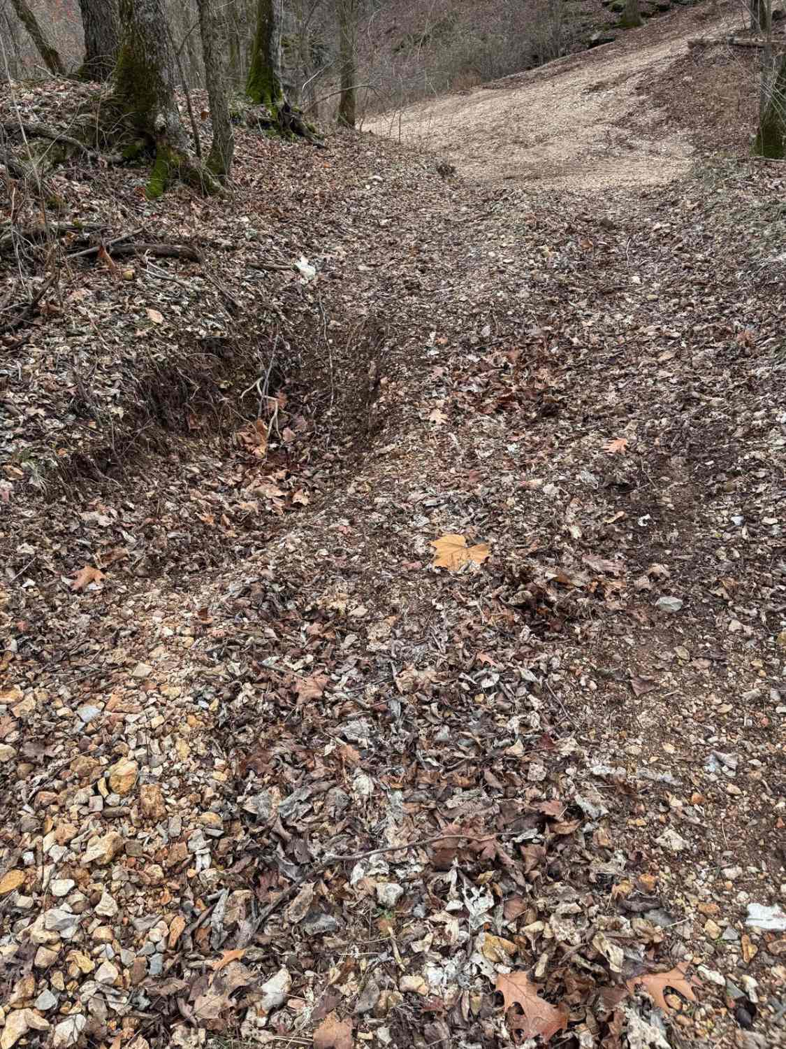
The Rocky Top is given a base rating of 2/10 for having a small water splash crossing, and mild erosion ruts and washes on the mild graded hills of the track, being 6 inches deep. Difficulty can increase in seasons of rain and wet conditions, or from heavy use and lack of maintenance. The road could have less present difficulty if the hills were to be mended with fresh gravel, and if the water crossing had a hard bottom or a permanent bridge installed.
History
Via old topo maps, Rocky Top FS 2663 has changed its track a few times. In the 1924-1926 Edgehill, Missouri, topos, this same hill/valley area had a completely different track, not even related to what is now known as the FS 2663. The first variation of the FS 2663 shows in the 1968 Johnson Mountain, MO topo map shows the original track starting in the same spot, but ultimately staying more north (going right), where the modern downhill section starts (going left) at roughly 37.72092, -90.96718. The 1999 Johnson Mountain topo changes the official FS 2663 to the modern downhill section, while going a total of 1.6 miles. This was then shortened to 1.2 miles in 2021, which stands to the current (2025) MVUM-sanctioned length. Documented by Christopher Menz 10/2025.
Status Reports
Rocky Top - FS 2663 can be accessed by the following ride types:
- High-Clearance 4x4
- SUV
- SxS (60")
- ATV (50")
- Dirt Bike
Rocky Top - FS 2663 Map
Popular Trails
Purple 403
South Riverside
Rocky Road
The onX Offroad Difference
onX Offroad combines trail photos, descriptions, difficulty ratings, width restrictions, seasonality, and more in a user-friendly interface. Available on all devices, with offline access and full compatibility with CarPlay and Android Auto. Discover what you’re missing today!