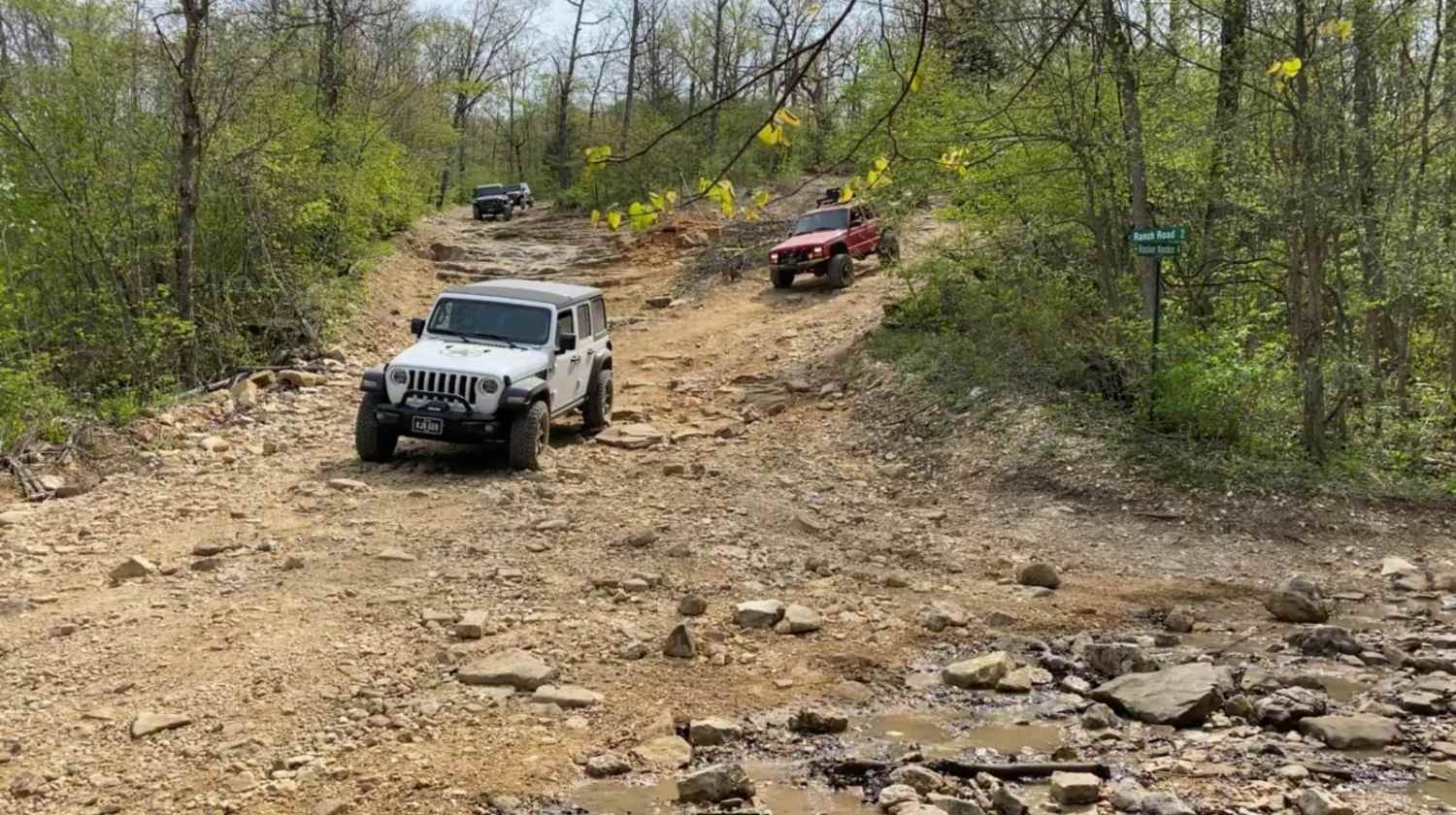
Off-Road Trails in Missouri
Discover off-road trails in Missouri
Learn more about Purple 399
Purple 399
Total Miles
0.1
Tech Rating
Extreme
Best Time
Spring, Summer, Fall, Winter
Learn more about Purple 402
Purple 402
Total Miles
0.1
Tech Rating
Extreme
Best Time
Spring, Summer, Fall, Winter
Learn more about Purple 403
Purple 403
Total Miles
0.1
Tech Rating
Extreme
Best Time
Spring, Summer, Fall, Winter
Learn more about Purple 438
Purple 438
Total Miles
0.1
Tech Rating
Extreme
Best Time
Spring, Summer, Fall, Winter
Learn more about Purple 58
Purple 58
Total Miles
0.0
Tech Rating
Difficult
Best Time
Spring, Summer, Fall, Winter
Learn more about Purple 86
Purple 86
Total Miles
0.0
Tech Rating
Extreme
Best Time
Spring, Winter, Fall, Summer
Learn more about Pussy Foot
Pussy Foot
Total Miles
0.1
Tech Rating
Easy
Best Time
Spring, Fall, Winter, Summer
Learn more about Quick Trip
Quick Trip
Total Miles
0.1
Tech Rating
Easy
Best Time
Spring, Summer, Fall, Winter
Learn more about Racetrack 11
Racetrack 11
Total Miles
0.8
Tech Rating
Easy
Best Time
Spring, Summer, Fall, Winter
Learn more about Racetrack Ridge
Racetrack Ridge
Total Miles
3.1
Tech Rating
Easy
Best Time
Spring, Fall, Summer
Learn more about Radford Hollow - RCR 848
Radford Hollow - RCR 848
Total Miles
2.8
Tech Rating
Easy
Best Time
Summer, Spring, Fall, Winter
Learn more about Rail Hollow
Rail Hollow
Total Miles
4.6
Tech Rating
Easy
Best Time
Spring, Summer, Fall, Winter
Learn more about Ranger Smith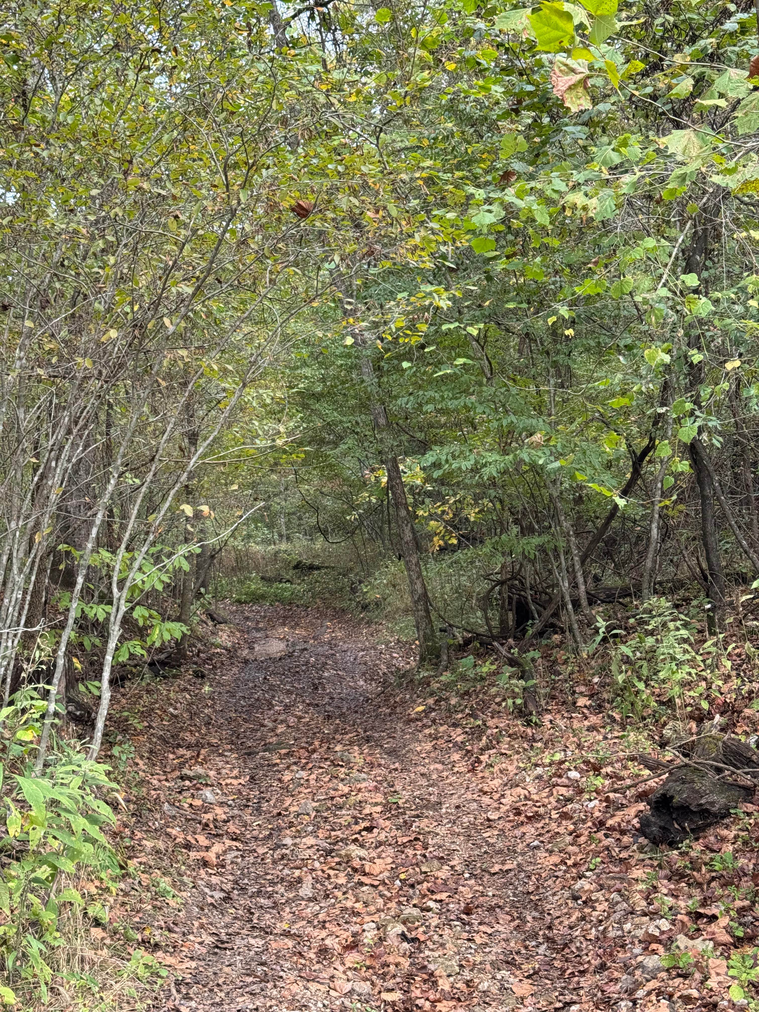
Ranger Smith
Total Miles
0.2
Tech Rating
Easy
Best Time
Spring, Summer, Fall, Winter
Learn more about Reader Hollow FSR 2155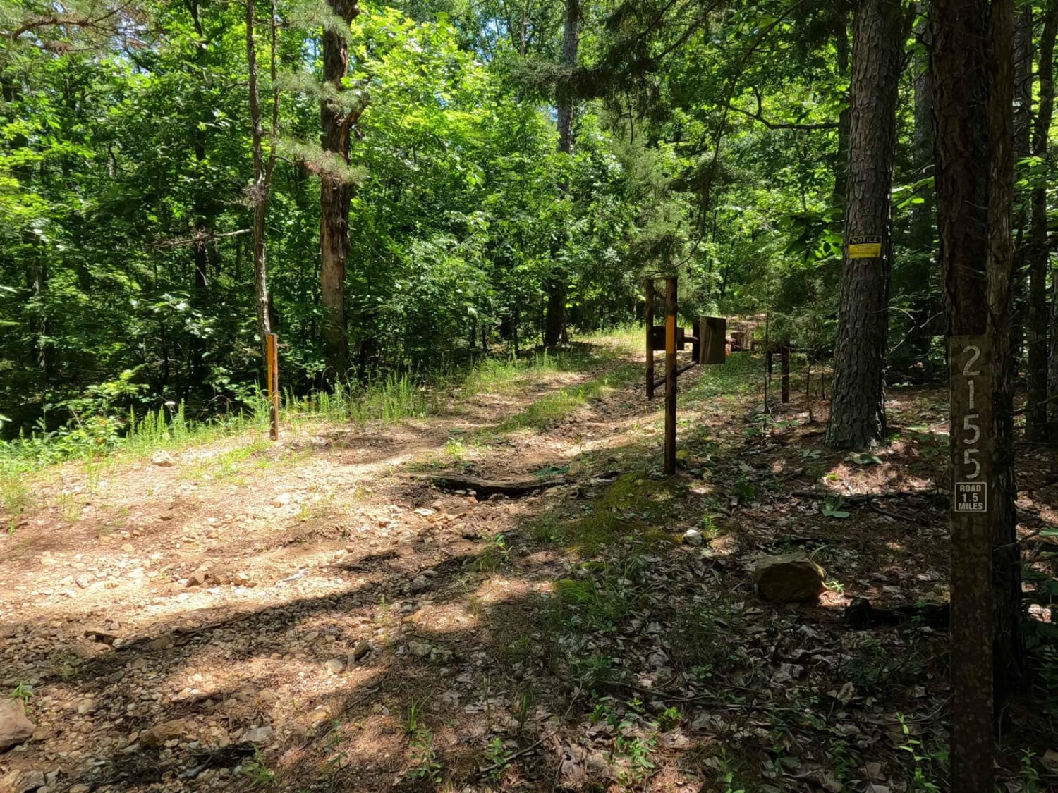
Reader Hollow FSR 2155
Total Miles
1.6
Tech Rating
Moderate
Best Time
Summer, Fall, Winter
Learn more about Recovery Bypass Loop
Recovery Bypass Loop
Total Miles
0.1
Tech Rating
Moderate
Best Time
Spring, Summer, Fall, Winter
Learn more about Red 100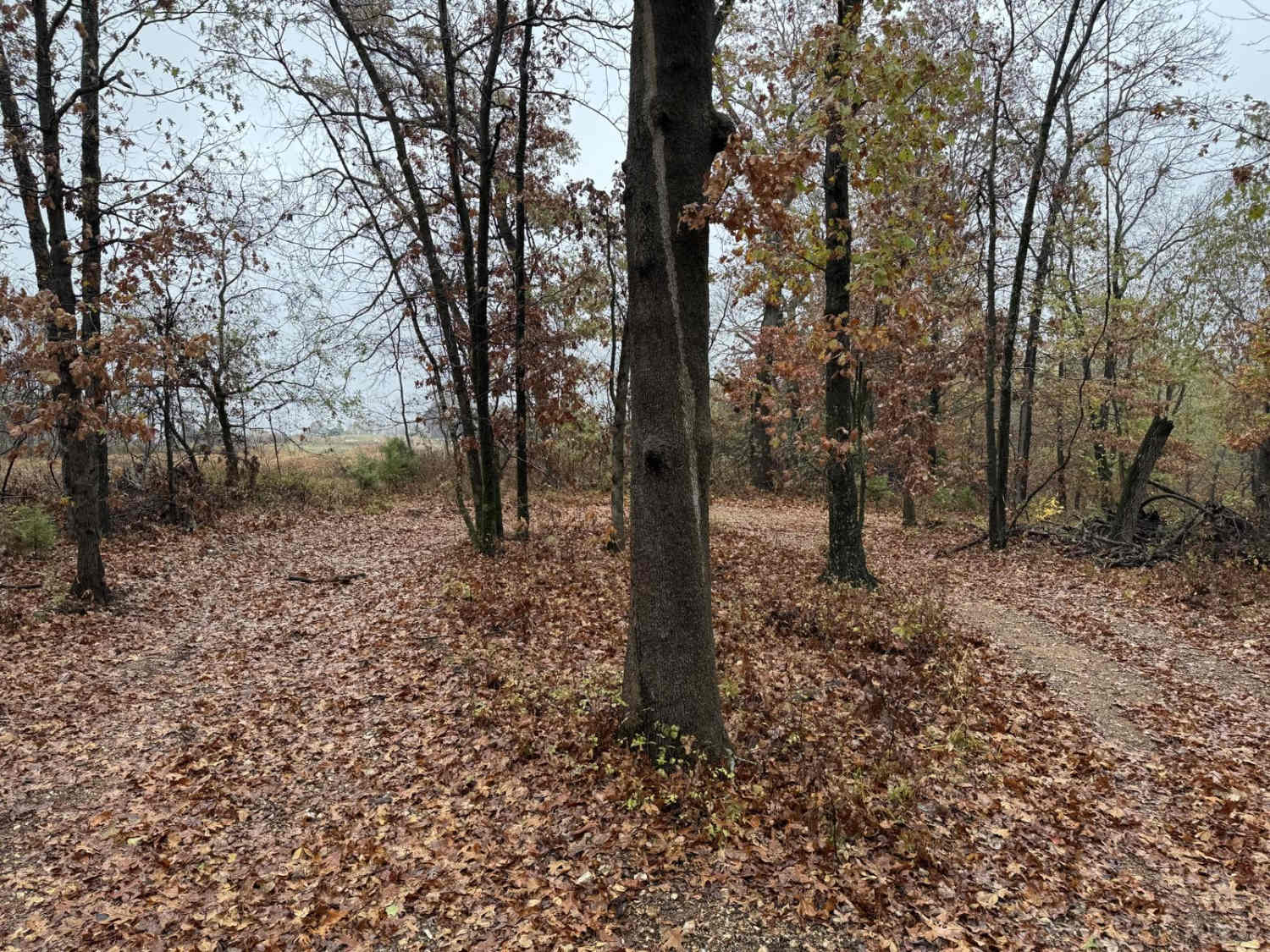
Red 100
Total Miles
0.3
Tech Rating
Difficult
Best Time
Spring, Summer, Fall, Winter
Learn more about Red 105
Red 105
Total Miles
0.0
Tech Rating
Difficult
Best Time
Spring, Summer, Fall, Winter
Learn more about Red 106
Red 106
Total Miles
0.1
Tech Rating
Difficult
Best Time
Spring, Summer, Fall, Winter
Learn more about Red 141
Red 141
Total Miles
0.1
Tech Rating
Difficult
Best Time
Spring, Summer, Fall, Winter
ATV trails in Missouri


Learn more about 4 of 5
4 of 5
Total Miles
0.0
Tech Rating
Difficult
Best Time
Spring, Summer, Fall, Winter
UTV/side-by-side trails in Missouri
Learn more about 4 of 5
4 of 5
Total Miles
0.0
Tech Rating
Difficult
Best Time
Spring, Summer, Fall, Winter
The onX Offroad Difference
onX Offroad combines trail photos, descriptions, difficulty ratings, width restrictions, seasonality, and more in a user-friendly interface. Available on all devices, with offline access and full compatibility with CarPlay and Android Auto. Discover what you’re missing today!