Off-Road Trails in Missouri
Discover off-road trails in Missouri
Learn more about Power Line West
Power Line West
Total Miles
0.4
Tech Rating
Easy
Best Time
Spring, Summer, Fall, Winter
Learn more about Power Wagon Trail 75
Power Wagon Trail 75
Total Miles
0.7
Tech Rating
Moderate
Best Time
Spring, Summer, Fall, Winter
Learn more about Prieskon Hollow - FSR 143
Prieskon Hollow - FSR 143
Total Miles
1.0
Tech Rating
Easy
Best Time
Spring, Summer, Fall, Winter
Learn more about Primitive Camp Loop
Primitive Camp Loop
Total Miles
0.2
Tech Rating
Easy
Best Time
Spring, Summer, Fall, Winter
Learn more about Problem Child
Problem Child
Total Miles
0.0
Tech Rating
Moderate
Best Time
Spring, Summer, Fall, Winter
Learn more about Prospect B - FS 3813B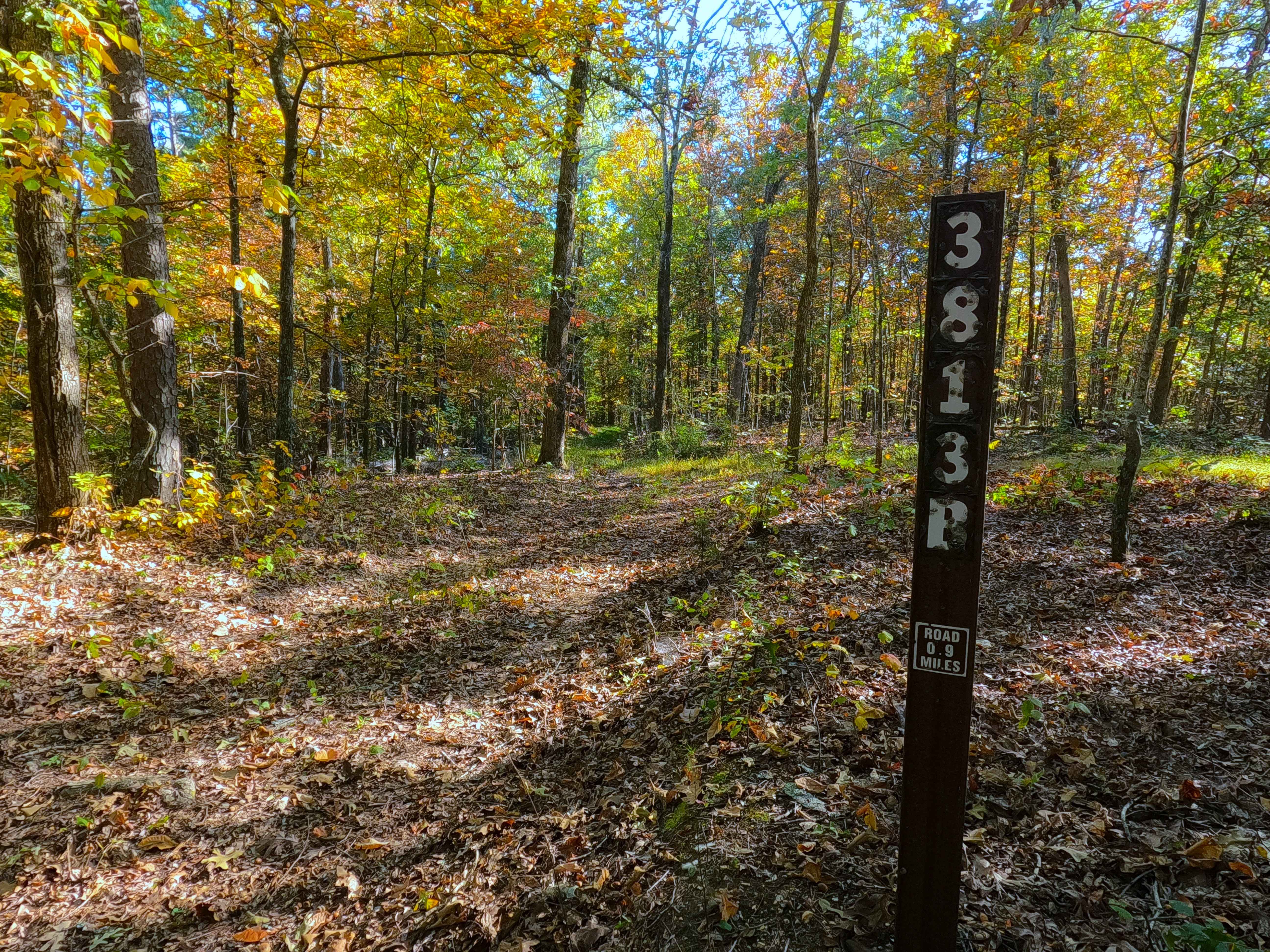
Prospect B - FS 3813B
Total Miles
0.8
Tech Rating
Easy
Best Time
Spring, Summer, Fall, Winter
Learn more about Prospect C - FS 3813C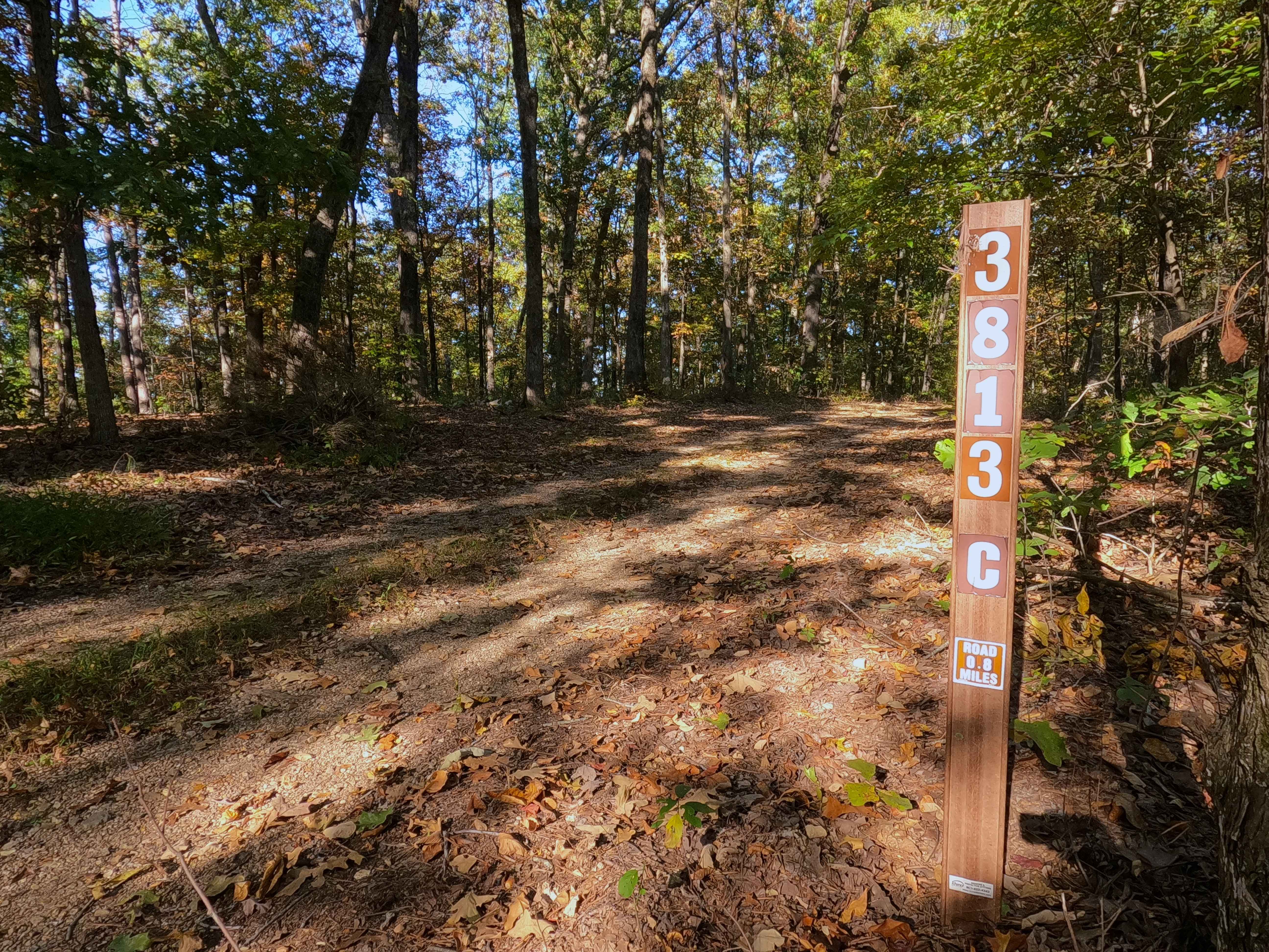
Prospect C - FS 3813C
Total Miles
0.7
Tech Rating
Easy
Best Time
Spring, Summer, Fall, Winter
Learn more about Pruitt Run Byway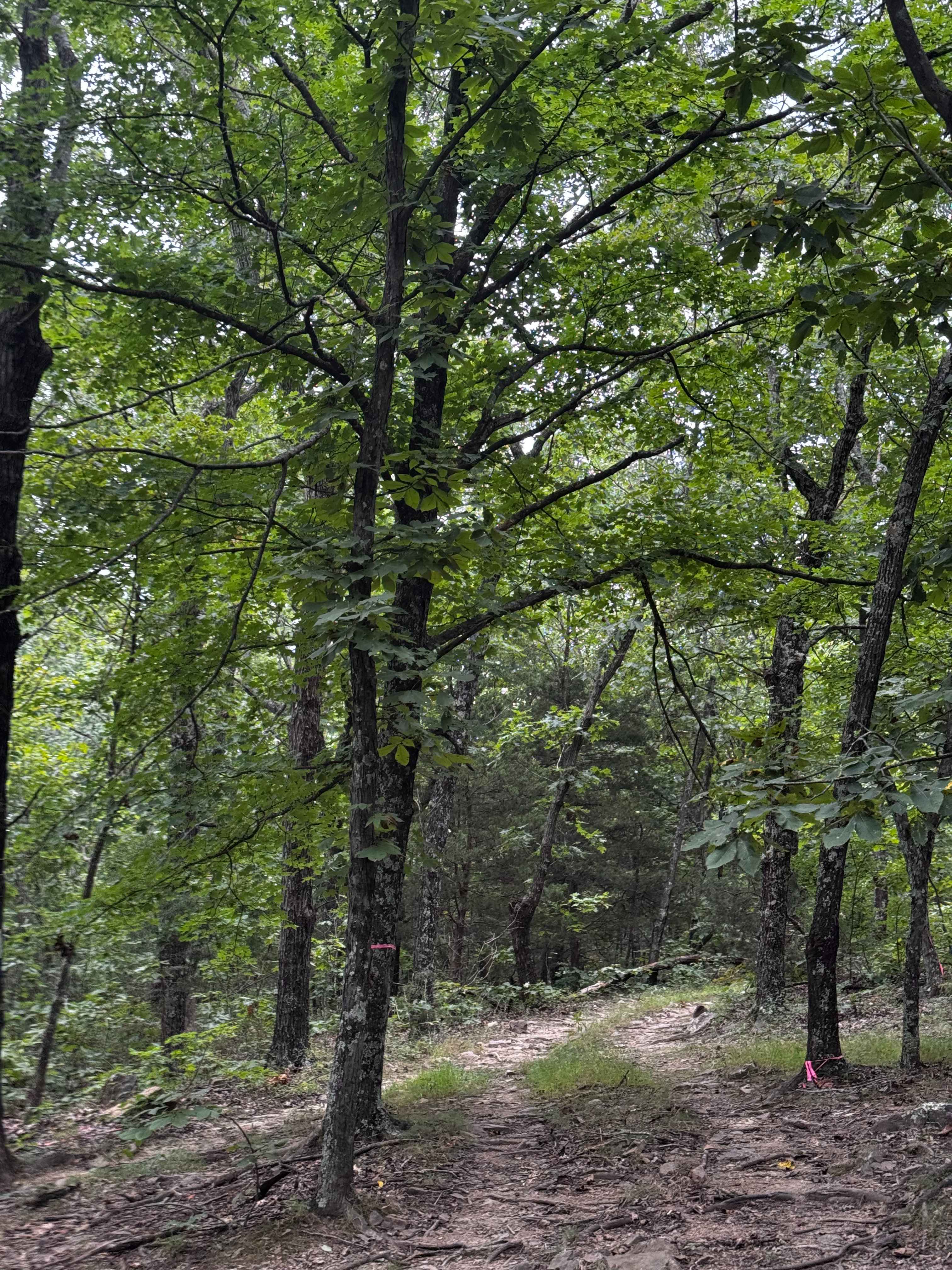
Pruitt Run Byway
Total Miles
0.5
Tech Rating
Easy
Best Time
Spring, Summer, Fall, Winter
Learn more about Pump Station Road
Pump Station Road
Total Miles
5.3
Tech Rating
Easy
Best Time
Spring, Summer, Fall, Winter
Learn more about Purple 124
Purple 124
Total Miles
0.1
Tech Rating
Difficult
Best Time
Spring, Summer, Fall, Winter
Learn more about Purple 197
Purple 197
Total Miles
0.2
Tech Rating
Extreme
Best Time
Spring, Summer, Fall, Winter
Learn more about Purple 200
Purple 200
Total Miles
0.2
Tech Rating
Extreme
Best Time
Spring, Summer, Fall, Winter
Learn more about Purple 219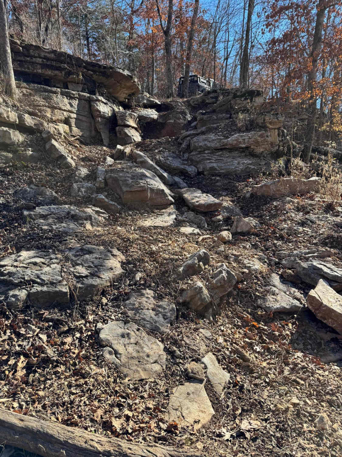
Purple 219
Total Miles
0.0
Tech Rating
Extreme
Best Time
Spring, Summer, Fall, Winter
Learn more about Purple 241
Purple 241
Total Miles
0.0
Tech Rating
Difficult
Best Time
Spring, Fall, Winter, Summer
Learn more about Purple 319
Purple 319
Total Miles
0.1
Tech Rating
Extreme
Best Time
Spring, Summer, Fall, Winter
Learn more about Purple 320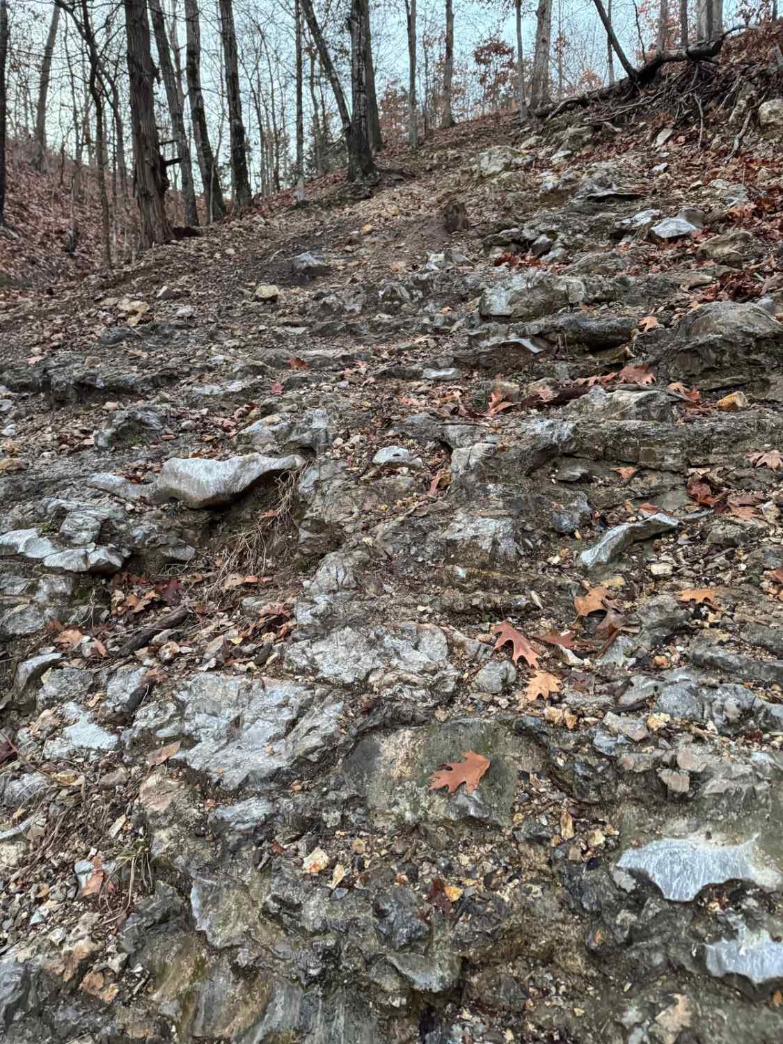
Purple 320
Total Miles
0.0
Tech Rating
Difficult
Best Time
Spring, Summer, Fall, Winter
Learn more about Purple 321
Purple 321
Total Miles
0.0
Tech Rating
Difficult
Best Time
Spring, Summer, Fall, Winter
Learn more about Purple 329
Purple 329
Total Miles
0.0
Tech Rating
Extreme
Best Time
Spring, Summer, Fall, Winter
Learn more about Purple 333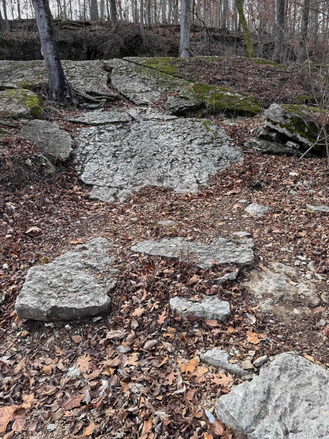
Purple 333
Total Miles
0.0
Tech Rating
Extreme
Best Time
Spring, Summer, Fall, Winter
Learn more about Purple 387
Purple 387
Total Miles
0.1
Tech Rating
Difficult
Best Time
Spring, Summer, Fall, Winter
ATV trails in Missouri


Learn more about 4 of 5
4 of 5
Total Miles
0.0
Tech Rating
Difficult
Best Time
Spring, Summer, Fall, Winter
UTV/side-by-side trails in Missouri
Learn more about 4 of 5
4 of 5
Total Miles
0.0
Tech Rating
Difficult
Best Time
Spring, Summer, Fall, Winter
The onX Offroad Difference
onX Offroad combines trail photos, descriptions, difficulty ratings, width restrictions, seasonality, and more in a user-friendly interface. Available on all devices, with offline access and full compatibility with CarPlay and Android Auto. Discover what you’re missing today!