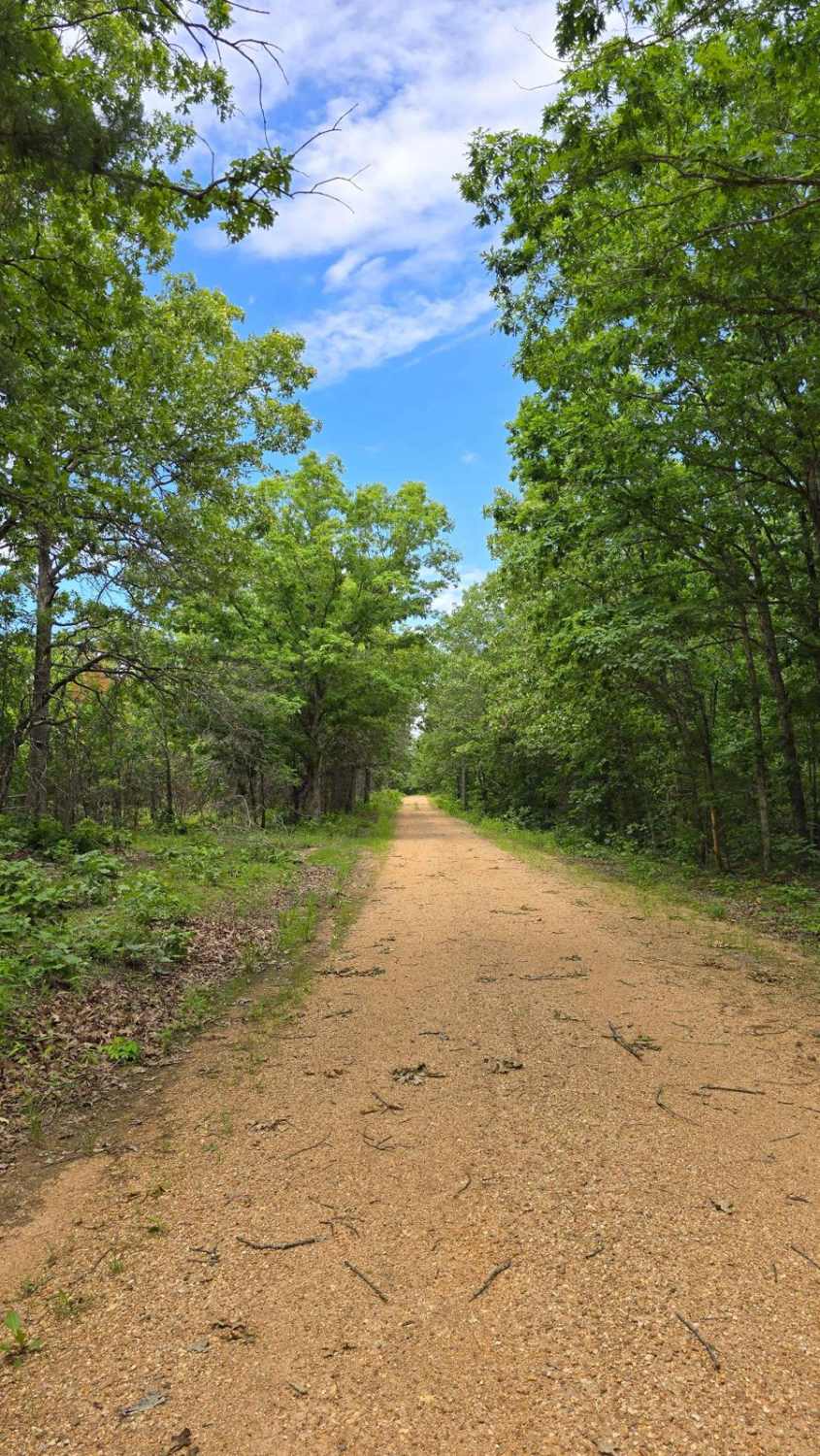
Off-Road Trails in Missouri
Discover off-road trails in Missouri
Learn more about RZR Creek
RZR Creek
Total Miles
0.4
Tech Rating
Moderate
Best Time
Spring, Summer, Fall, Winter
Learn more about Sam Crocker Cemetery - CR 80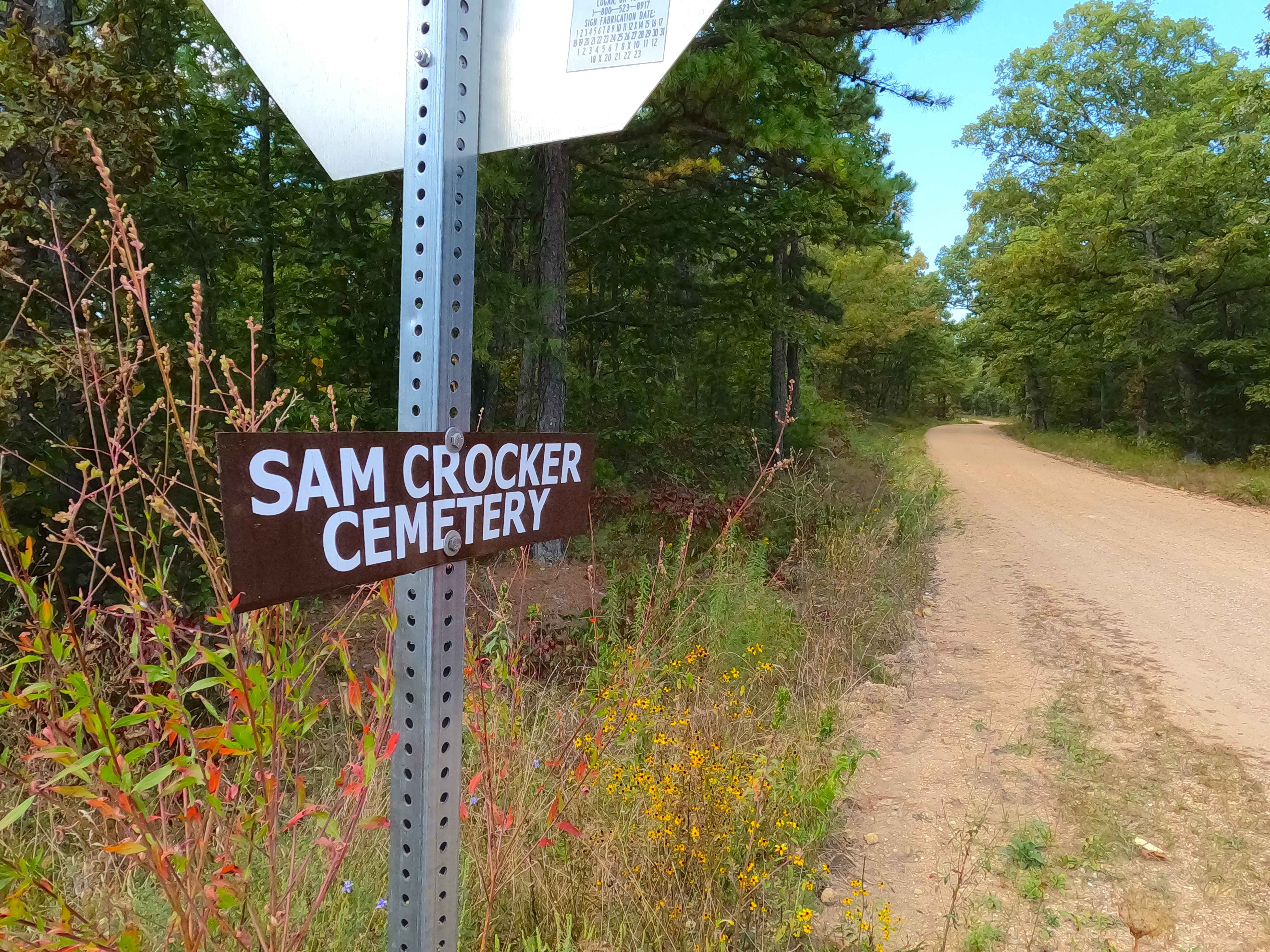
Sam Crocker Cemetery - CR 80
Total Miles
1.9
Tech Rating
Easy
Best Time
Spring, Summer, Fall, Winter
Learn more about Sasquatch Way
Sasquatch Way
Total Miles
0.1
Tech Rating
Easy
Best Time
Spring, Summer, Fall, Winter
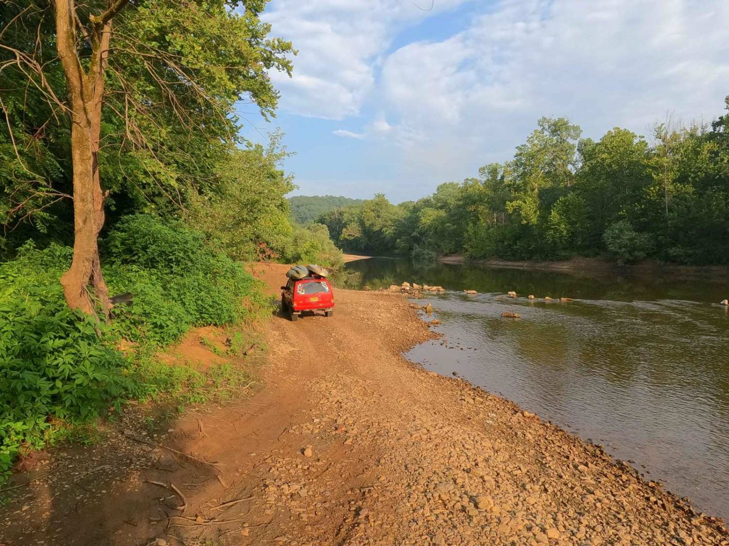
Learn more about Scenic Riverways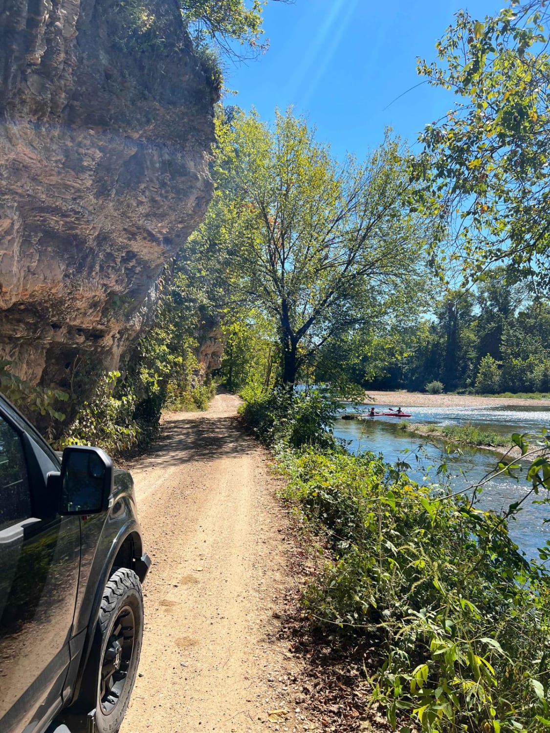
Scenic Riverways
Total Miles
11.0
Tech Rating
Easy
Best Time
Spring, Summer, Fall, Winter
Learn more about Schott Spur C - FS 1516C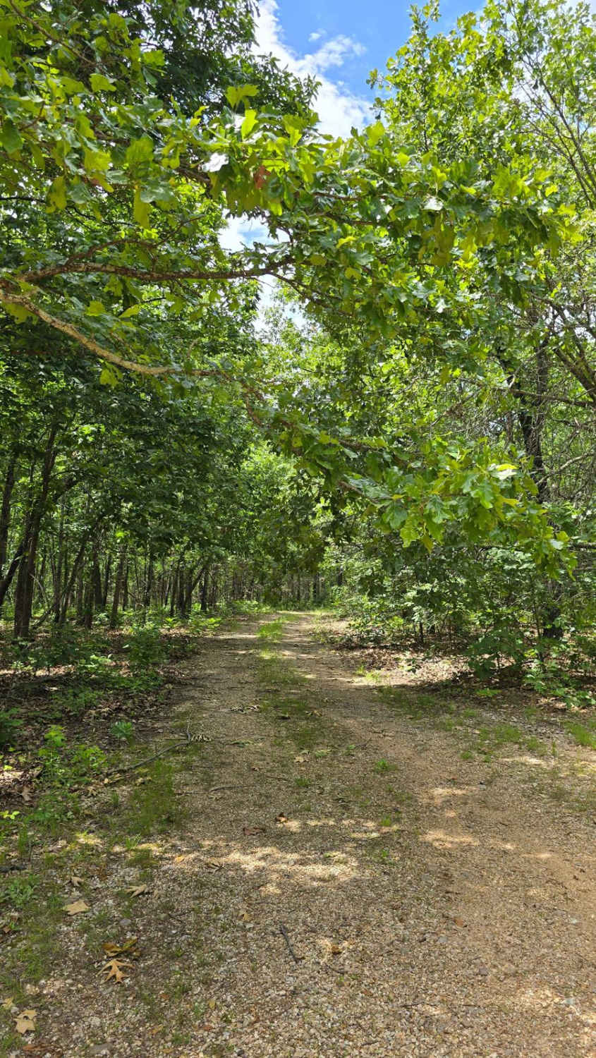
Schott Spur C - FS 1516C
Total Miles
1.0
Tech Rating
Moderate
Best Time
Spring, Fall
Learn more about Scott County Road 405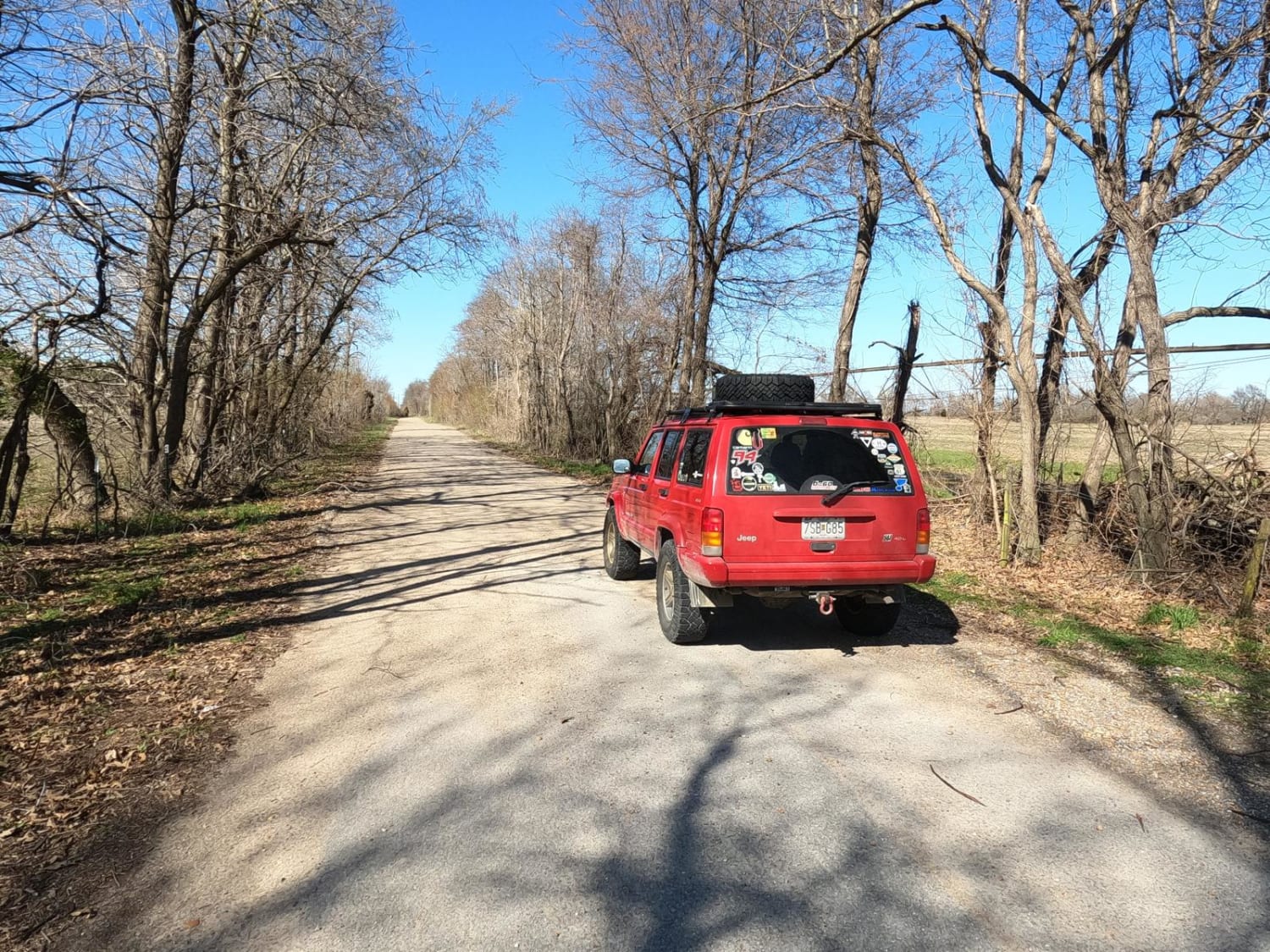
Scott County Road 405
Total Miles
5.1
Tech Rating
Easy
Best Time
Spring, Summer, Fall
Learn more about Scroggins Ridge to Rock Creek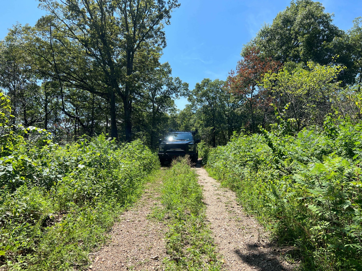
Scroggins Ridge to Rock Creek
Total Miles
6.3
Tech Rating
Easy
Best Time
Spring, Summer, Fall, Winter
Learn more about Seals Road Trail
Seals Road Trail
Total Miles
0.5
Tech Rating
Easy
Best Time
Spring, Summer, Fall, Winter
Learn more about Section 8 - FS 705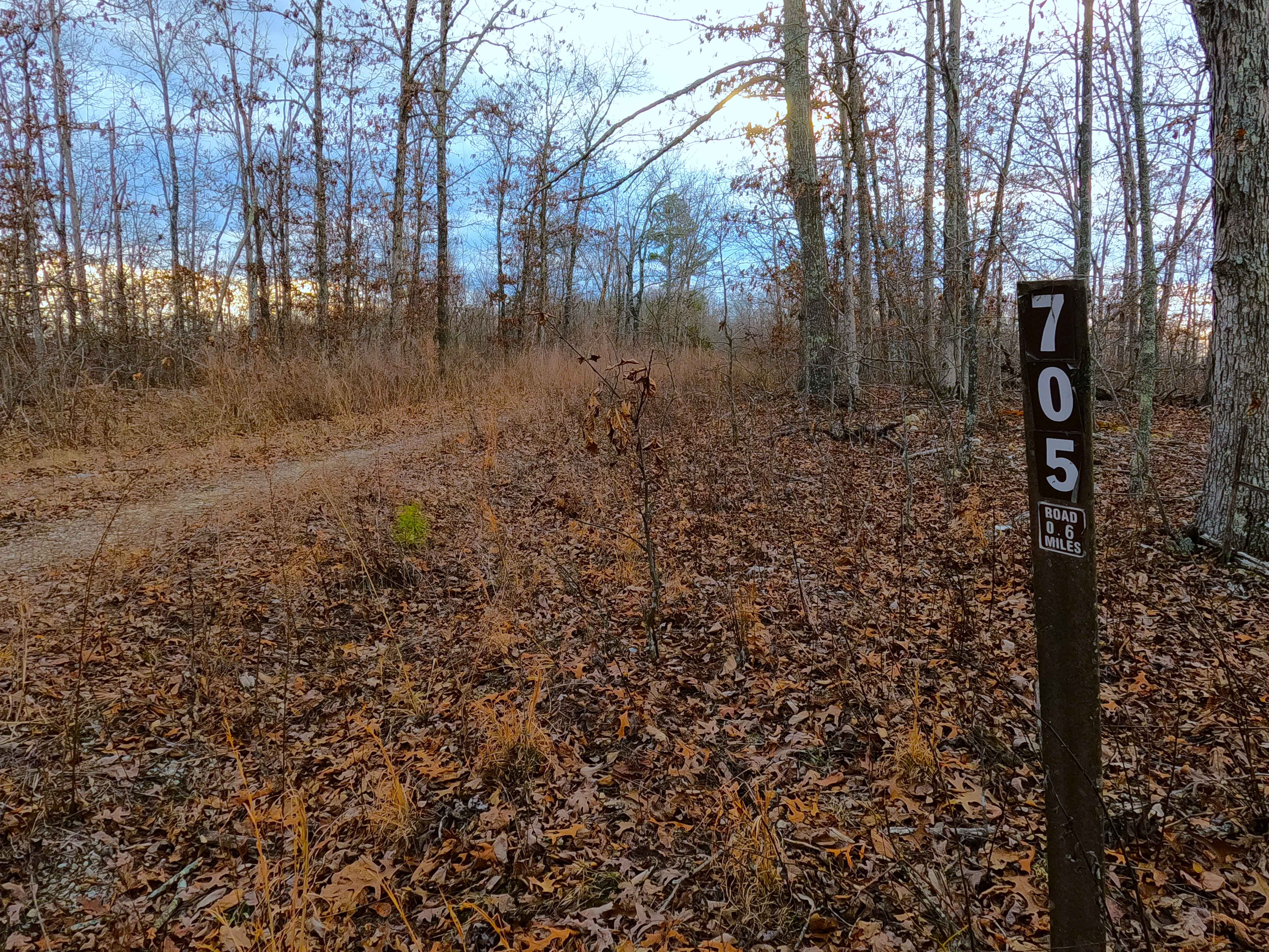
Section 8 - FS 705
Total Miles
0.7
Tech Rating
Easy
Best Time
Spring, Summer, Fall, Winter
Learn more about Shawnee Creek - SCR 211D
Shawnee Creek - SCR 211D
Total Miles
0.3
Tech Rating
Easy
Best Time
Spring, Summer, Fall, Winter
Learn more about Shepard Cutoff - 2228
Shepard Cutoff - 2228
Total Miles
1.8
Tech Rating
Easy
Best Time
Spring, Summer
Learn more about Shepard Cutoff - FSR 2228
Shepard Cutoff - FSR 2228
Total Miles
5.4
Tech Rating
Easy
Best Time
Spring, Winter, Summer, Fall
Learn more about Sherbrooke - FS 2841
Sherbrooke - FS 2841
Total Miles
2.0
Tech Rating
Easy
Best Time
Spring, Summer, Fall, Winter
Learn more about Shirley Ridge - FS 2628
Shirley Ridge - FS 2628
Total Miles
0.8
Tech Rating
Easy
Best Time
Spring, Summer, Fall, Winter

Learn more about Short Hollow - FS 510
Short Hollow - FS 510
Total Miles
7.1
Tech Rating
Moderate
Best Time
Spring, Summer, Fall, Winter
Learn more about Side Cut Through
Side Cut Through
Total Miles
0.1
Tech Rating
Easy
Best Time
Spring, Summer, Fall, Winter
ATV trails in Missouri


Learn more about 4 of 5
4 of 5
Total Miles
0.0
Tech Rating
Difficult
Best Time
Spring, Summer, Fall, Winter
UTV/side-by-side trails in Missouri
Learn more about 4 of 5
4 of 5
Total Miles
0.0
Tech Rating
Difficult
Best Time
Spring, Summer, Fall, Winter
The onX Offroad Difference
onX Offroad combines trail photos, descriptions, difficulty ratings, width restrictions, seasonality, and more in a user-friendly interface. Available on all devices, with offline access and full compatibility with CarPlay and Android Auto. Discover what you’re missing today!