Sherbrooke - FS 2841
Total Miles
2.0
Technical Rating
Best Time
Spring, Summer, Fall, Winter
Trail Type
Full-Width Road
Accessible By
Trail Overview
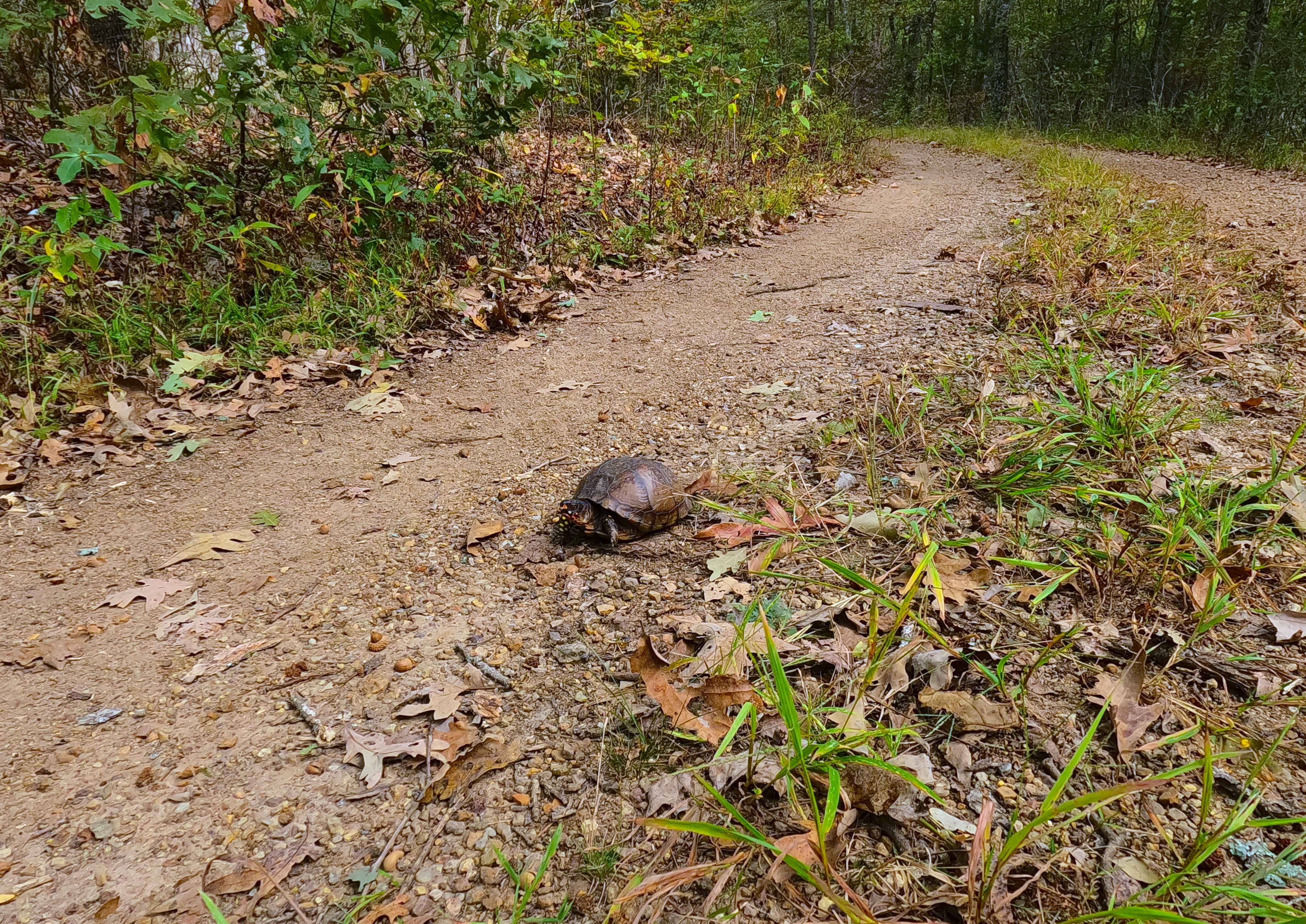
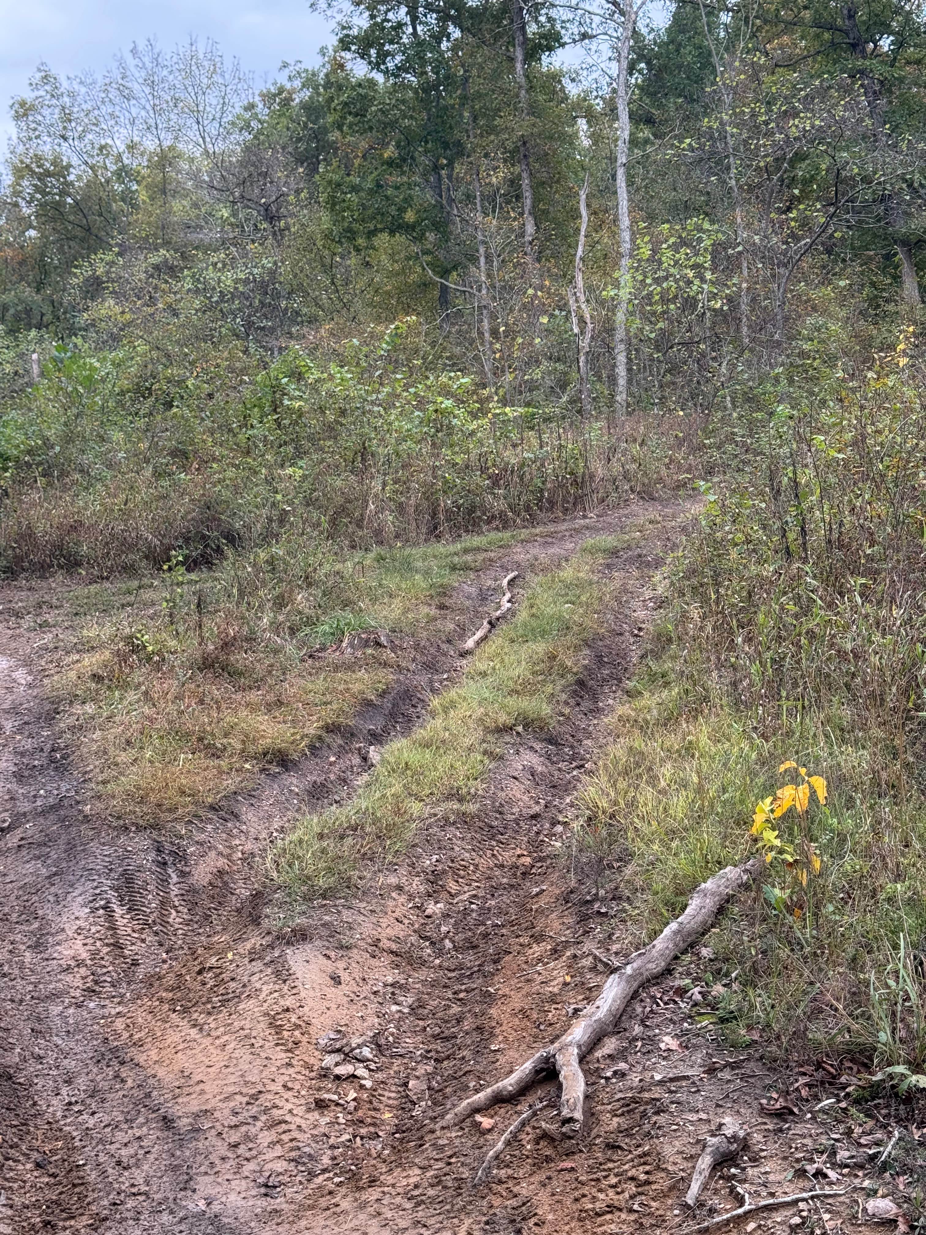
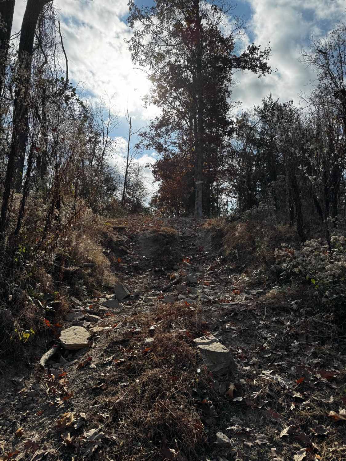
Sherbrooke (FS 2841) is a semi-maintained gravel and natural terrain forest road within the Mark Twain National Forest Potosi Unit. Sherbrooke forks east off the Coon Hollow (FS 2482), quickly turning due north to the depths of this portion of Mark Twain National Forest, the total track being 2.1 miles from the fork to ending turnaround. Along the way, it is safe to expect mild grades going up and down the spines of the ridges the road follows, giving a scenic ride through the trees and foliage of the area over sections of gravel, natural coarse gravel, and soft spots where the rock fades to a mostly dirt path. There are several offshoots and camp cutouts along the way, as well as the Sherbrooke Spur A (FS 2841A), which seems to be well-loved and used by the hunting crowd. At the end of the MVUM-sanctioned track, there is a narrow-width trail that continues, with hunting and hiking being its sole use and purpose, eventually ending at private property. Read the history section if you would like to see how OnX Offroad is making a difference by supporting local land stewards.
Photos of Sherbrooke - FS 2841

Difficulty
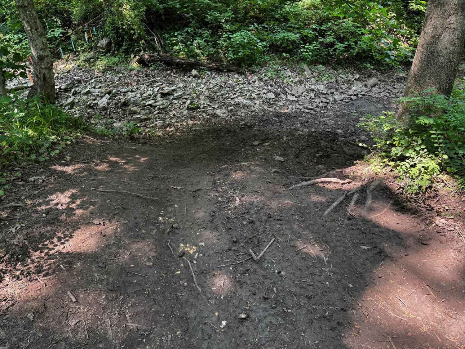
Sherbrooke is given a base rating of 1/10, being a generous single-width two-track semi-maintained gravel and natural coarse gravel terrain road that rides the gentle spines of the ridge top to the legal endpoint, with occasional soft spots where the path fades to dirt along the track in the bowl-like sections of the road, possibly holding splash level water in rainy conditions. It is safe to expect all the normal gravel road complications of washboards, mounding, and potholes. The difficulty could increase due to a lack of maintenance or extreme wet and inclement conditions.
History
On the weekend of December 13th 2025, OnX Offroad supported a local trash clean-up that was hosted by Heartland Trail Trash, a Missouri-based nonprofit stewardship org. Heartland Trail Trash gathered 45 volunteers, based out of Council Bluff Lake, to participate in Venture Unknown Foundation's 8-state 13-team Sweep Up The Southeast 2025 (SUTS) event. During this event, Heartland Trail Trash (Team Mark Twain) cleaned the majority of the Shepard Cutoff area, cleaning the area of trash, tires, and metal that had been illegally dumped, as well as other dump sites in Mark Twain along the Missouri Route 32 corridor, going as far west as Bixby and Viburnum. The total trash collection included 72 tires, 800 pounds of recycled metal, and 4500 pounds of trash being removed from Mark Twain National Forest and Iron County. A worthy effort considering that the weather turned extremely cold (32degF at noon, dropping to 3degF that night) and at 2 PM started dropping freezing mist, turning to flurries by 6 PM.
Status Reports
Sherbrooke - FS 2841 can be accessed by the following ride types:
- High-Clearance 4x4
- SUV
- SxS (60")
- ATV (50")
- Dirt Bike
Sherbrooke - FS 2841 Map
Popular Trails
Critter Cutoff

Billys Branch - FS 2608
The onX Offroad Difference
onX Offroad combines trail photos, descriptions, difficulty ratings, width restrictions, seasonality, and more in a user-friendly interface. Available on all devices, with offline access and full compatibility with CarPlay and Android Auto. Discover what you’re missing today!