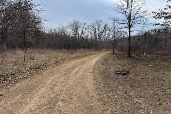
Trail Overview
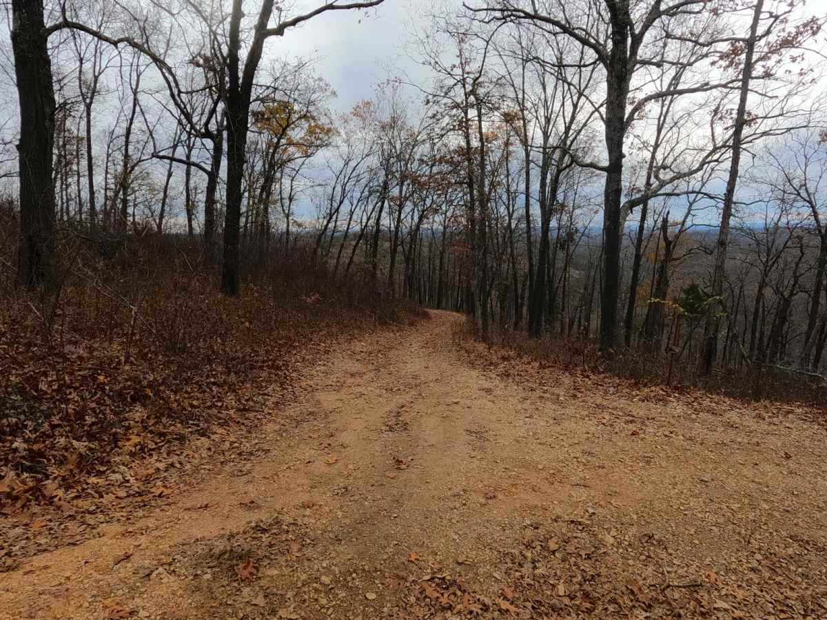
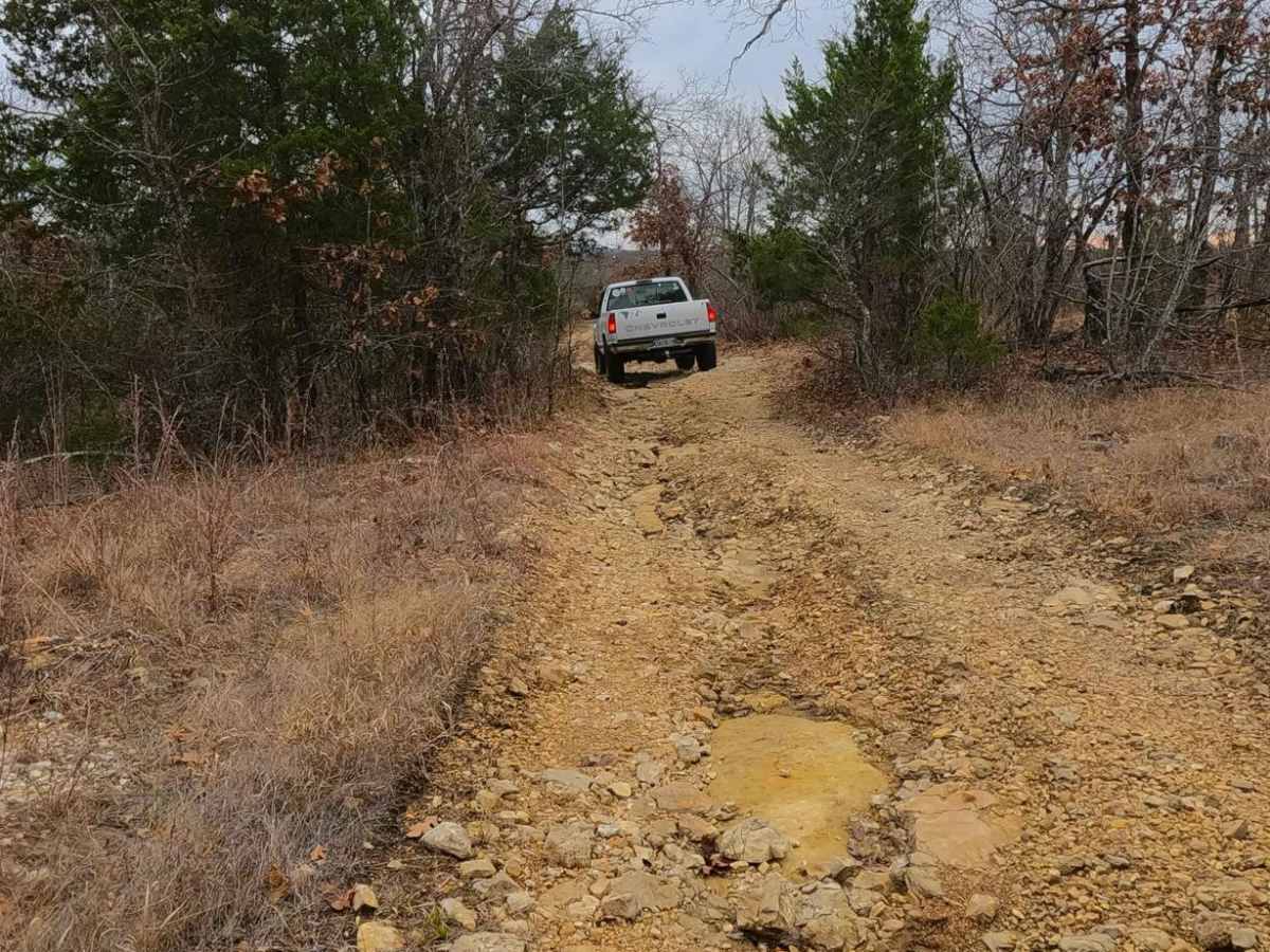
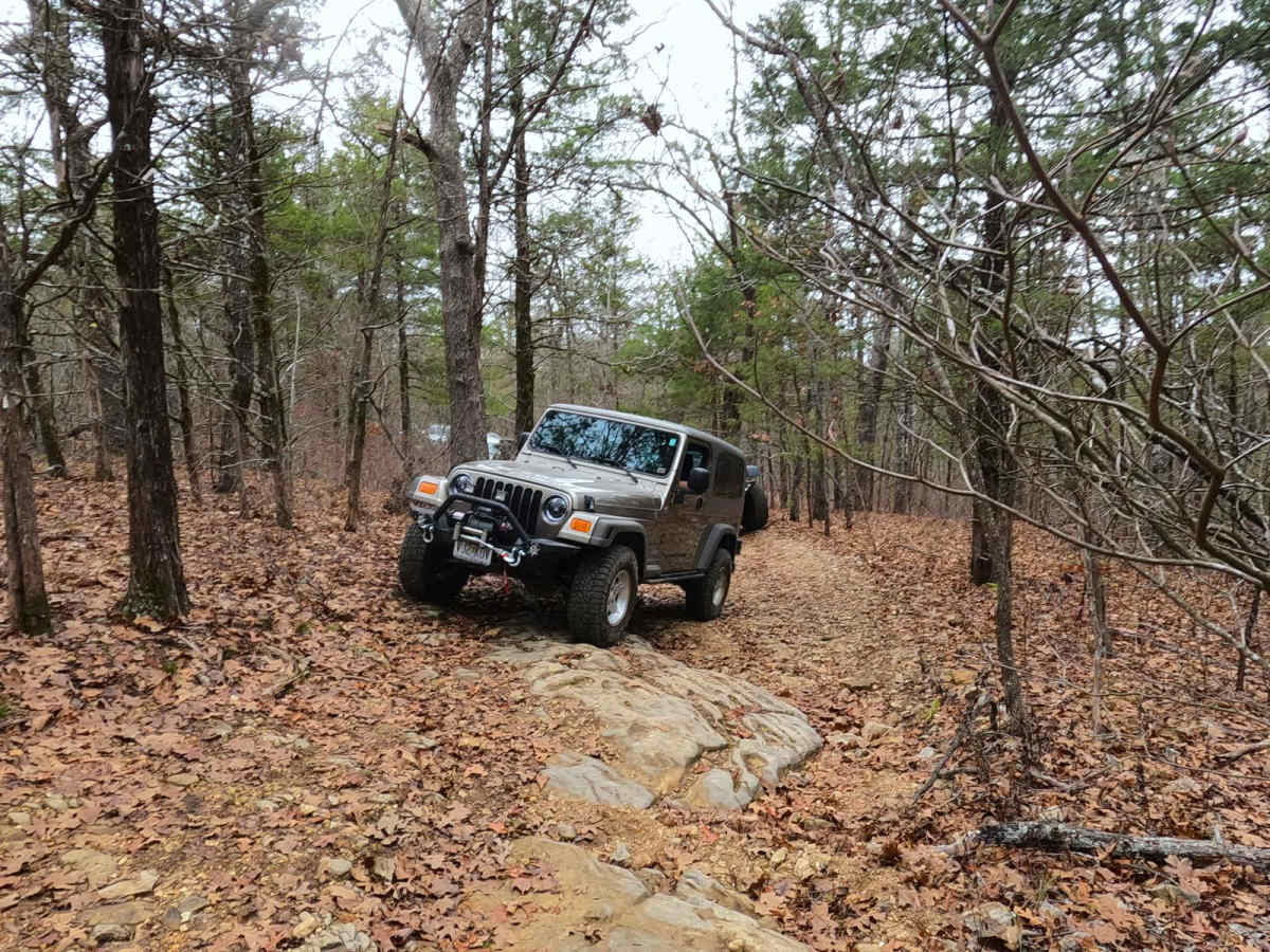
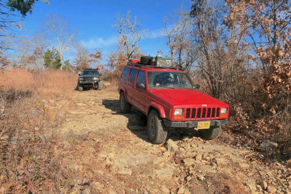
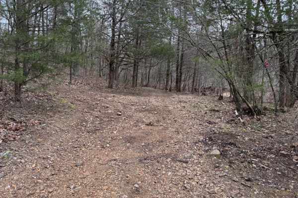
Short Hollow FS 510 is a natural terrain forest service road branching off the Glade Top National Scenic Byway within Mark Twain National Forest, Ava Unit. This 7-mile trail features great scenery, but it is an entry-technical challenge at its core. It allows riders to get a footing on how to traverse mild obstacles such as ledges and glade rock slabs that this area is known for while having elements of tight treelines, natural coarse cobbles/small boulders, water erosion, mild to moderate grades, and water collection holes to keep it diverse. The trail features several natural landmarks, such as several dispersed campsites, water springs, swimming holes, and the overlooking ridgetops on the elevated sections of the trail looking south, east, and west. A trail that is fun for all driver types and rig types, there is some form of mild challenge awaiting on the Short Hollow FS 510.
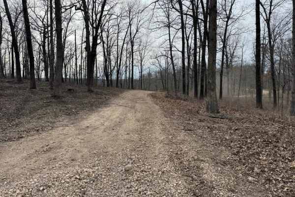
Difficulty
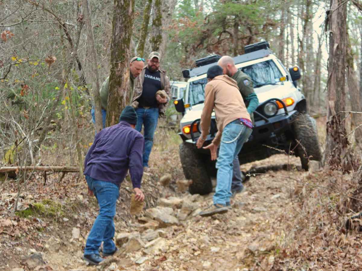
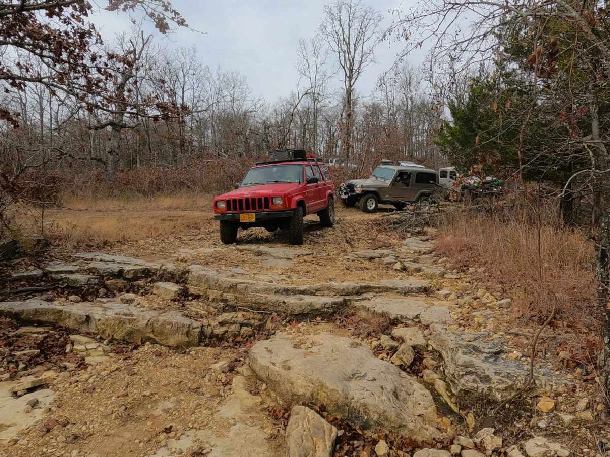
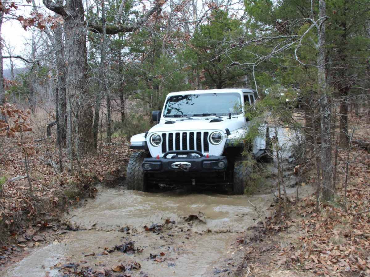
Short Hollow FS 510 is an entry-technical trail with a given rating of 4/10. At its core, it is a dirt-surfaced trail that features loose natural coarse cobble rock (mostly 3 to 6-inch blocks, less likely 6 to 10-inch) and rare potential for small half-man boulders (10 to 16-inch range), featuring flat ridge top sections transforming to mild and moderate grades with several glade rock ledges, steps, and slabs along the way. These ledges range from 6 to 12 inches consistently, with a few up to 18 inches. With a less-built vehicle, the driver must be picky about what line to take. The midpoint creek crossing adds additional difficulty to the track, ranging from mostly dry in deep summer, to a 6" splash on average up to 18-24 inches of depth in wet and rainy conditions, though this is rare. Unsung difficulties, several spots on the trail are very tight for full-size vehicles, requiring multi-point turns, and precise driving amongst tight trees, it is not advised to use a full-size vehicle, but legally the trail has no size limit.