Tennyson Hollow West - FS 507
Total Miles
3.0
Technical Rating
Best Time
Spring, Summer, Fall, Winter
Trail Type
Full-Width Road
Accessible By
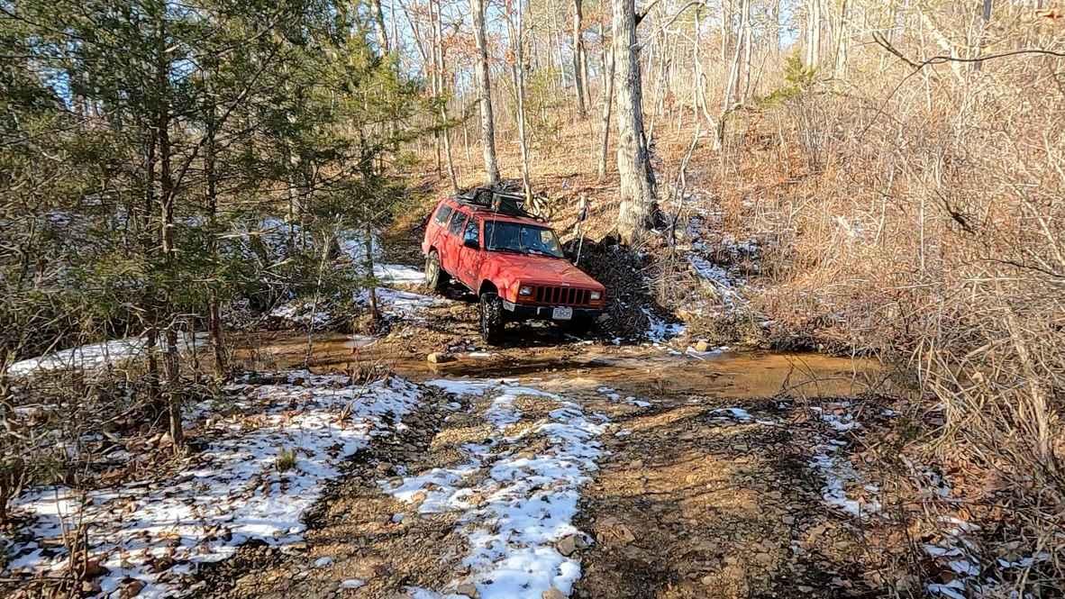
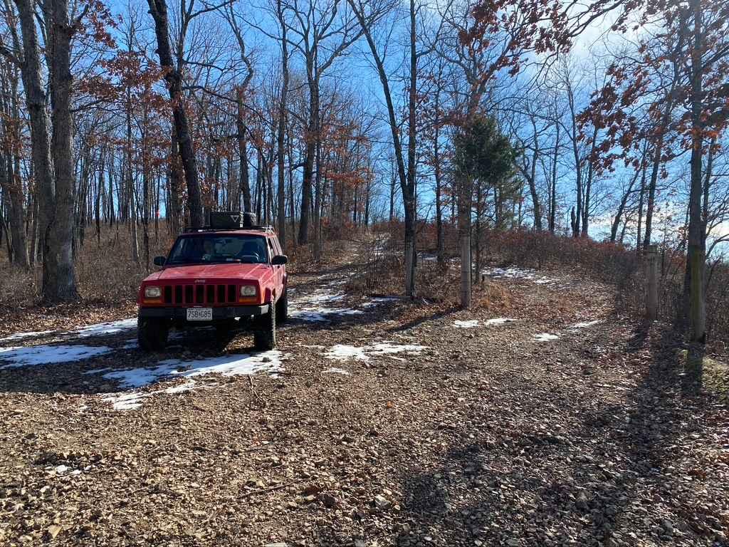
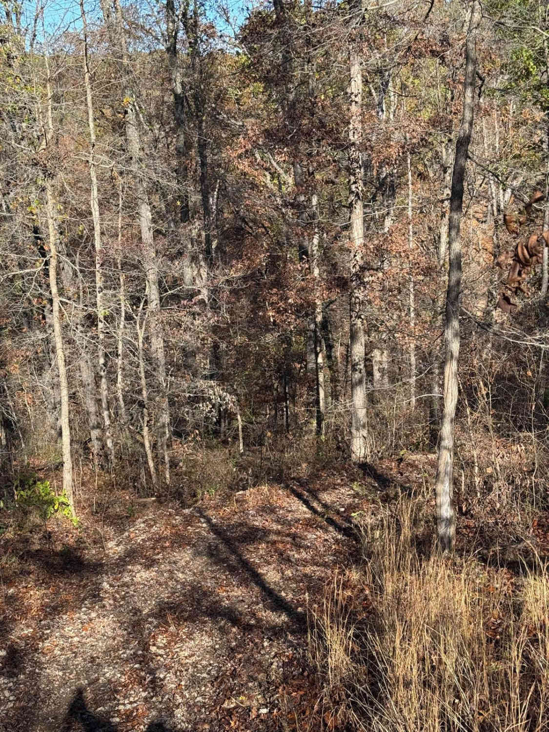
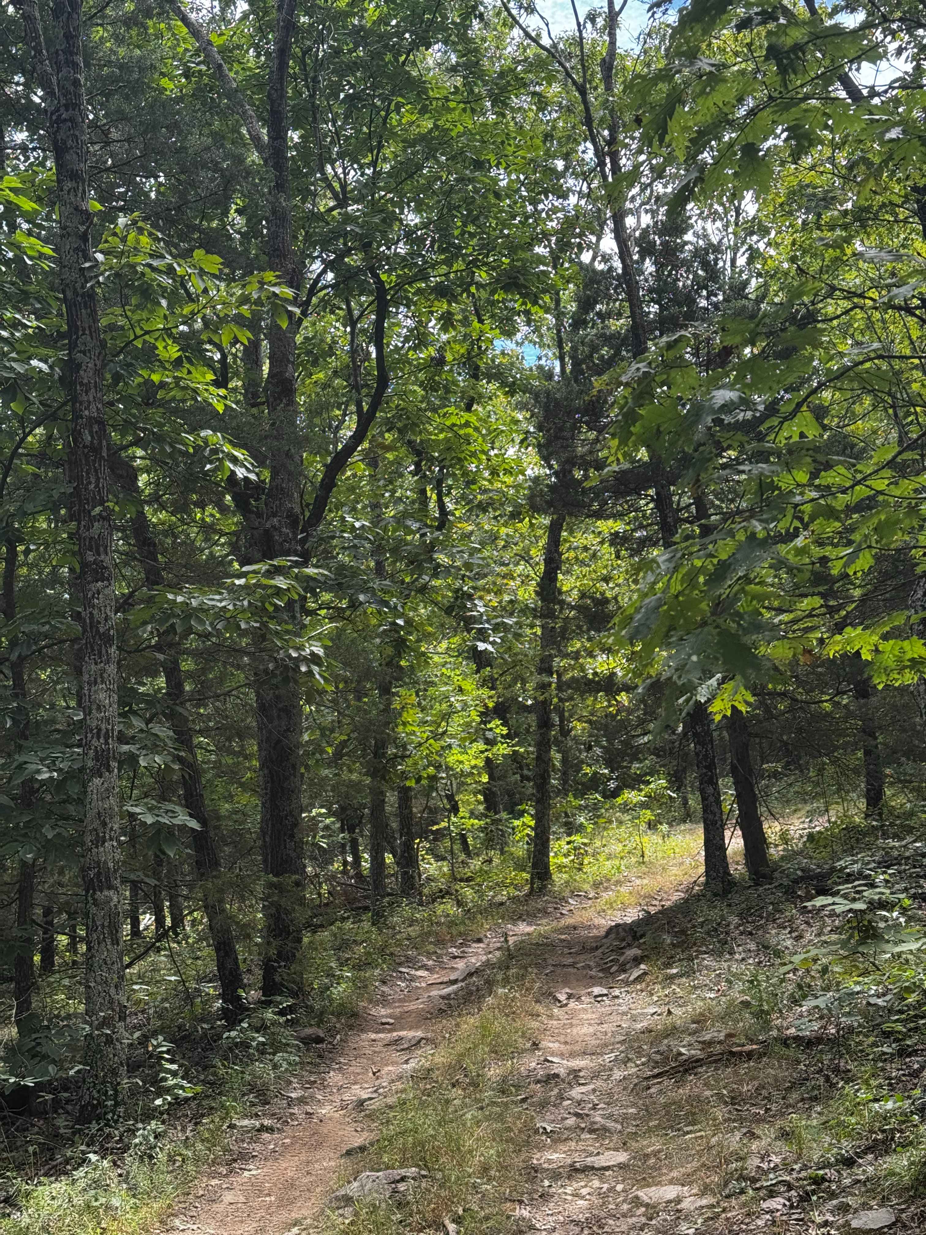
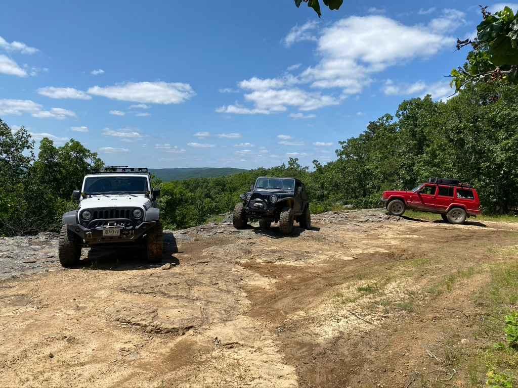
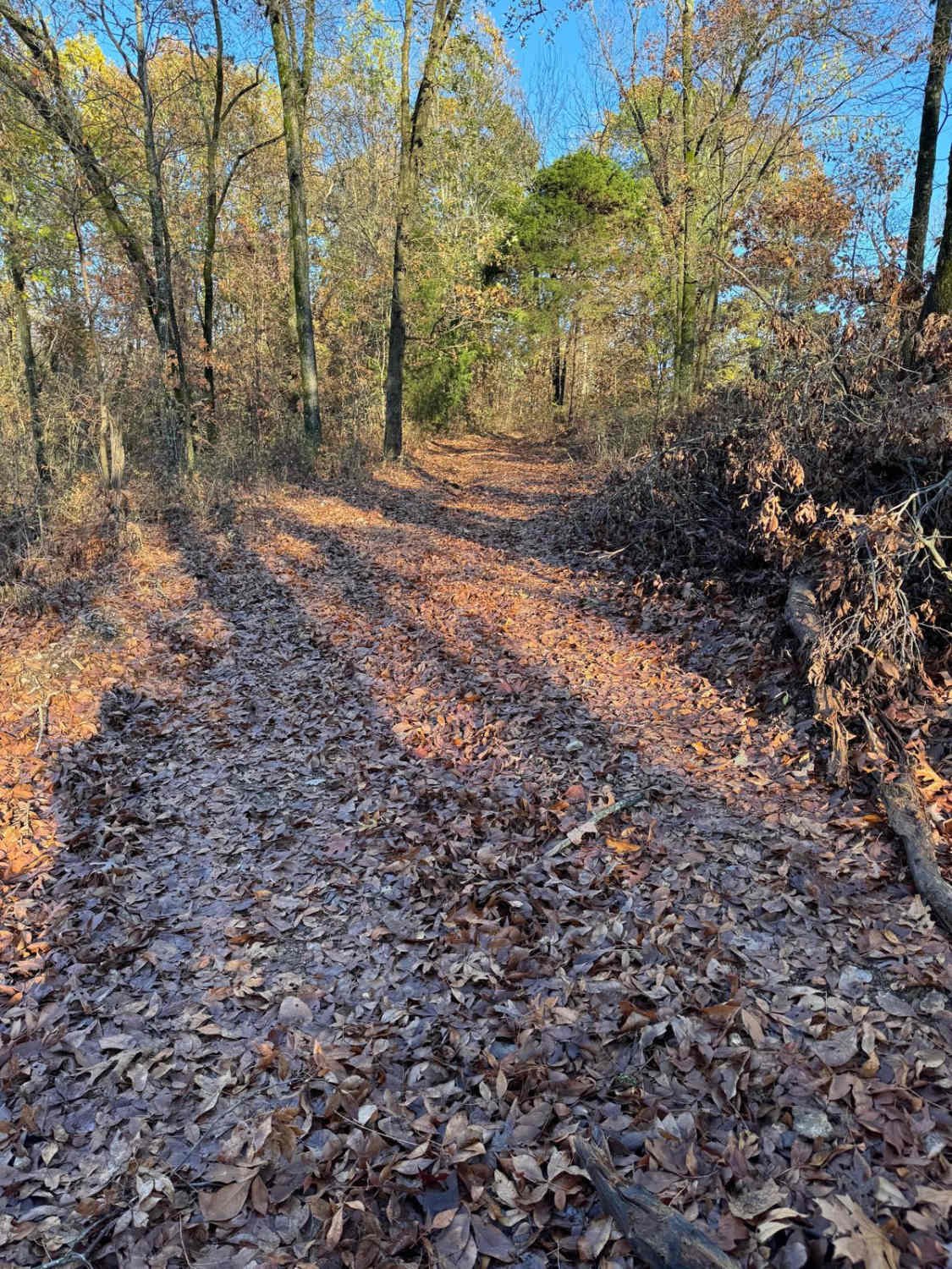
Trail Overview
Tennyson Hollow West FS 507 is the western section of the 507 trail, with the Hub Tree splitting the two sections east from west. It is a natural terrain forestry road branching off the Glade Top National Scenic Byway within Mark Twain National Forest, Ava Unit. This trail features immersive scenery of diverse terrain. From the northern portion of mostly open ridgetop, views stretch for miles; it goes down 540 feet in elevation to the creek bottoms amongst dense trees in the valley/hollow of the southern portion. All this together makes for an awesome entry-technical challenge, providing a great trail to traverse mild obstacles such as heavily eroded dirt ruts, rock ledges, glade rock slabs, and creek crossings that this area is known for. In addition, it has elements of tight treelines, natural coarse cobbles/small boulders, water erosion, mild to moderate grades, and water collection holes to keep it diverse. The trail features several dispersed campsites, such as in the open field bottoms at 36.63454, -92.82187 and the ridgetop treeline at 36.66522, -92.82655. At the southern end of the trail is the Hub Tree, a large circled lot around a lone standing tree at 36.62978, -92.82483. It's a notable spot to disperse camp, take a break, potentially eat, stage vehicles, and then decide what trail is next. One of Missouri and Mark Twain's most noteworthy and beloved trails, please respect the laws of the Glade Top area, and stay on the forestry-sanctioned MVUM trails; this helps preserve the rights to use these trails.
Photos of Tennyson Hollow West - FS 507
Difficulty
The West FS 507 has a great range of terrain. On an average day, you'll encounter 18-inch dirt ruts, tight trees, hard-bottomed mud holes, water collection holes, 6 to 18-inch deep creek crossings, 6 to 18-inch rock ledges, and small half-man boulders (10 to 18 inches in diameter)--small off-camber spots within all these obstacles mentioned above. This is all joined together over a foundational mix of dirt, small rock glades (long generally flat slabs), and coarse natural gravel, with sparsely placed cobble rock (mostly 3 to 6-inch blocks, less likely 6 to 10-inch ones) as the primary surface of the trail. Trees falling over the trail are not an unusual occurrence. Spotting out lines may be required and walking it out if in doubt is wise. This trail is best approached with some former offroading experience and not alone. A good portion of this trail does ride like a 3/10 and has bypasses in several spots. It does feature several 4/10 obstacles, such as the larger ledges being in the consistent 12 to 18-inch range, mild mud, water holes, and creek crossings easily 12 inches deep. Be mindful that the trail has creek crossings that have the potential--with high water--to reach the 5/10 level, as well as optional ledges that can push the 18 to 24-inch realm. There's also a bypassable section of 2-foot walls of rutted dirt erosion. All this said, it's given a medium-demanding 4/10 base rating. As just noted, the difficulty could increase in wet and inclement conditions, when choosing harder lines, and after changes from heavy use.
History
The Glade Top Trail is a Civilian Conservation Corps [CCC] built road that was designated a Scenic Byway in 1989. Portions of Forest Roads 147, 149, and 150 comprise the trail. The trail follows a series of ridgetops through the central glade area of the White River Hills. The Glade Top Trail is little changed from the original road constructed by the Civilian Conservation Corps in the late 1930s. For twenty-three miles, the two-lane, all-weather gravel road follows narrow ridge tops rising approximately 500 feet above the surrounding rolling countryside and overlooks and passes through many limestone/dolomite glades interspersed with open and closed woodlands. (Sourced from the USDA website)
Status Reports
Tennyson Hollow West - FS 507 can be accessed by the following ride types:
- High-Clearance 4x4
- SUV
Tennyson Hollow West - FS 507 Map
Popular Trails
Yellow 126
Loop Express
Crane Tower FSR 2192
The onX Offroad Difference
onX Offroad combines trail photos, descriptions, difficulty ratings, width restrictions, seasonality, and more in a user-friendly interface. Available on all devices, with offline access and full compatibility with CarPlay and Android Auto. Discover what you’re missing today!