Shirley Ridge - FS 2628
Total Miles
0.8
Technical Rating
Best Time
Spring, Summer, Fall, Winter
Trail Type
Full-Width Road
Accessible By
Trail Overview
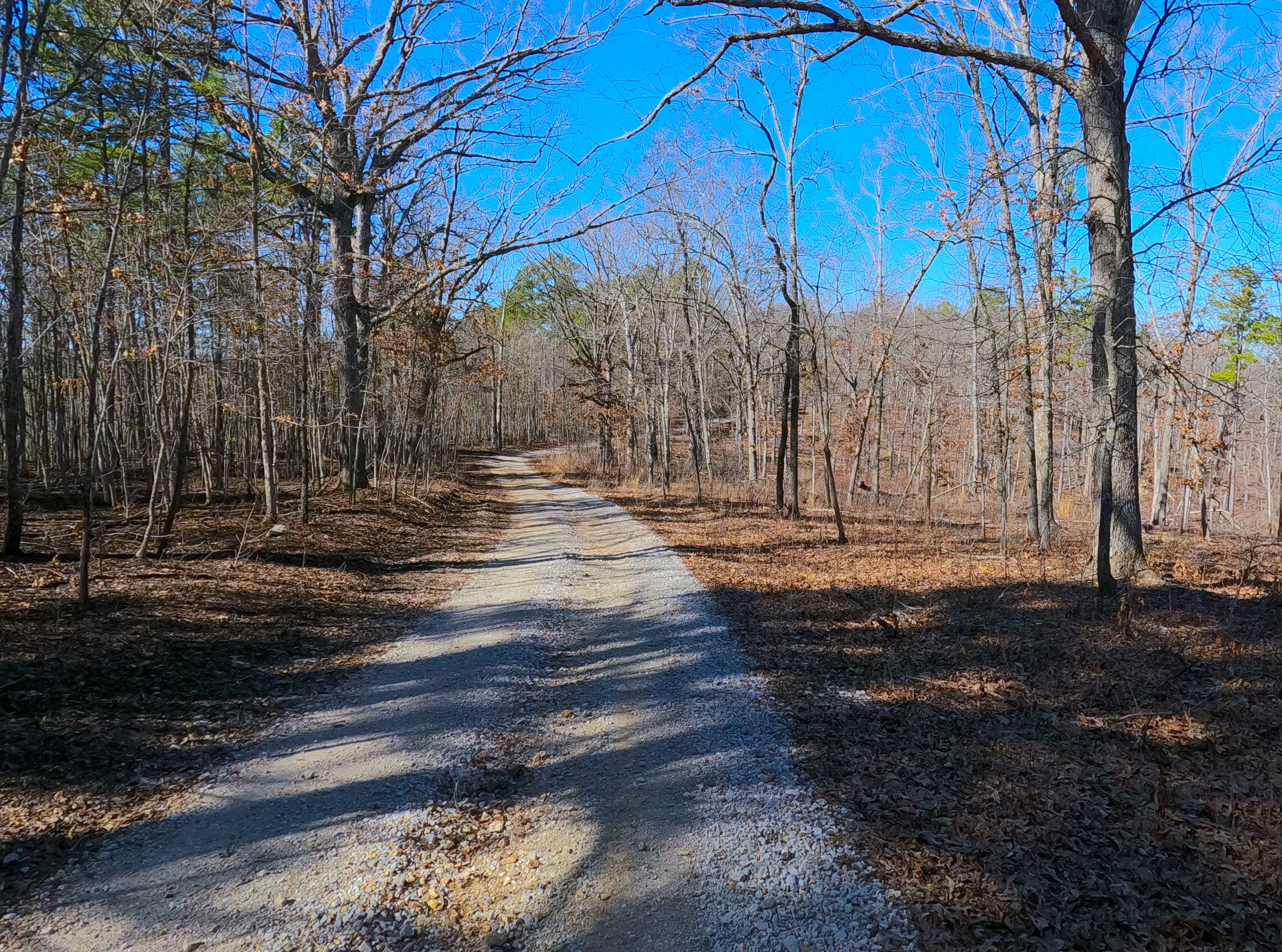
Shirley Ridge (FS 2628) is a maintained gravel forest service road within the Potosi Unit of Mark Twain National Forest. The road begins at Berryman Road and the upper ridge it rests on, heading northwest, going downhill rapidly at first, only to shift towards a milder downhill grade before rising over the first spine of a lower ridge, with a small valley on either side, the north hosting Billy's Branch Creek, and the south hosting a feeder creek to Billy's Branch. Small elevation changes happen along the remainder of the lower ridge that the road follows to its conclusion at a large opening, marking the end of the MVUM Sanctioned Road, where users must turn around and head back the way they entered.
Photos of Shirley Ridge - FS 2628

Difficulty
Shirley Ridge is given a base rating of 1/10 for being a maintained gravel road with mild erosion and gravel washes on the mildly steep hill on which the track is laid out. It is safe to expect the basic gravel road complications, such as potholes, washboarding, and mounding of the gravel. Difficulty can increase in times of wet conditions, heavy use, and through a lack of maintenance.
Status Reports
Shirley Ridge - FS 2628 can be accessed by the following ride types:
- High-Clearance 4x4
- SUV
- SxS (60")
- ATV (50")
- Dirt Bike
Shirley Ridge - FS 2628 Map
Popular Trails

Yellow 59

Logging Trail #1
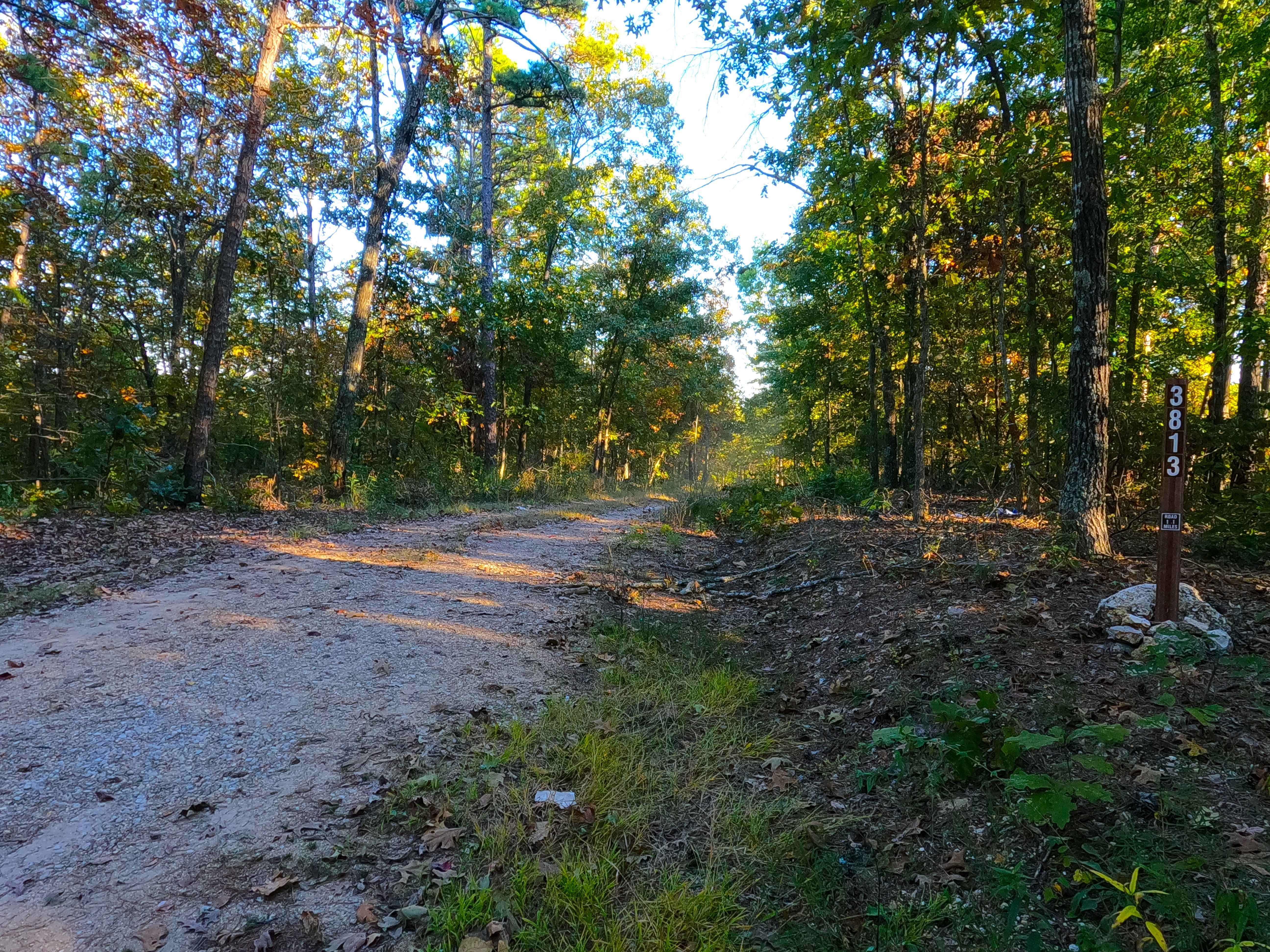
New Prospect - FS 3813

Yellow 142
The onX Offroad Difference
onX Offroad combines trail photos, descriptions, difficulty ratings, width restrictions, seasonality, and more in a user-friendly interface. Available on all devices, with offline access and full compatibility with CarPlay and Android Auto. Discover what you’re missing today!