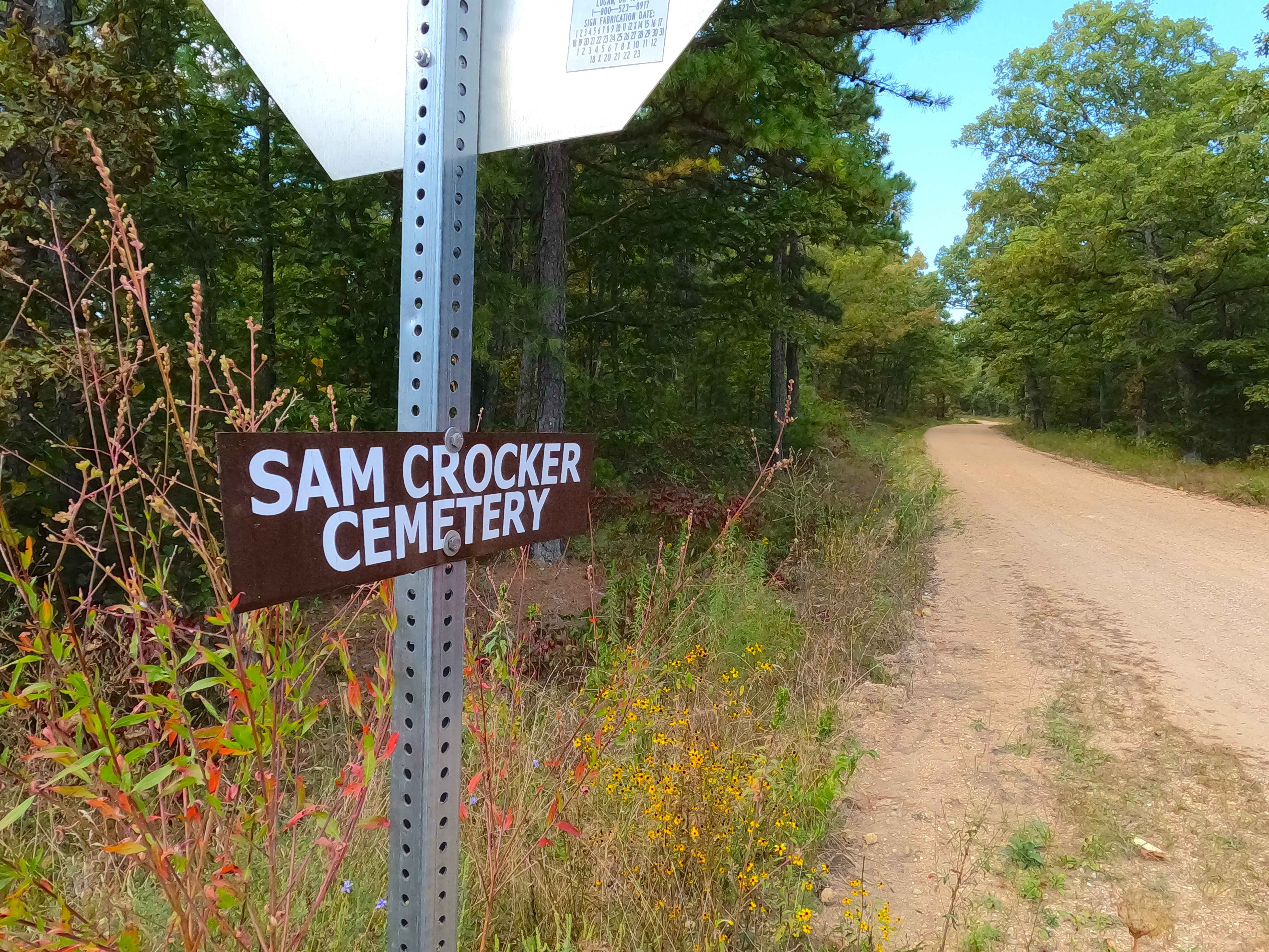
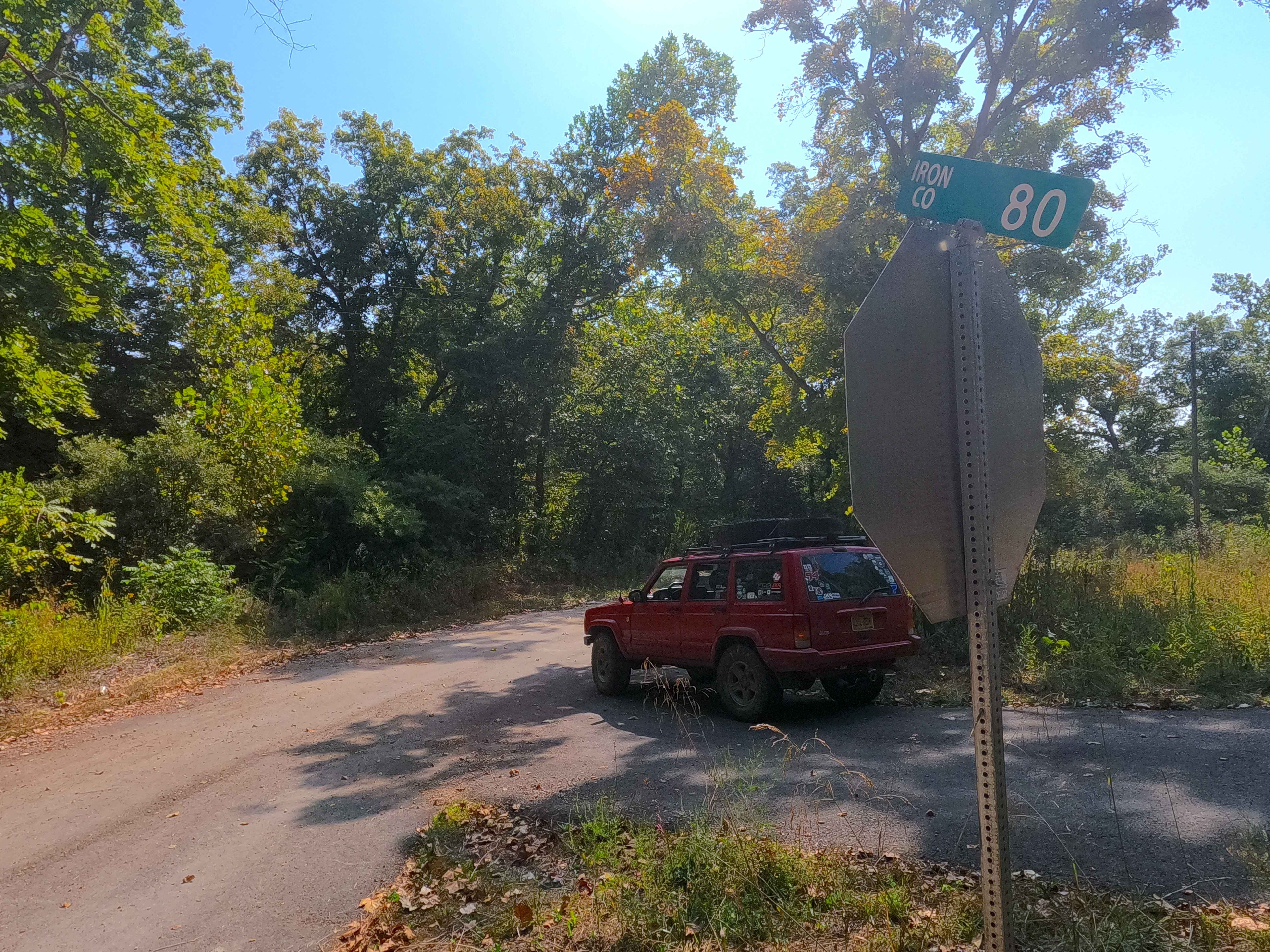
Sam Crocker Cemetery - CR 80
Total Miles
1.9
Technical Rating
Best Time
Spring, Summer, Fall, Winter
Trail Type
Full-Width Road
Accessible By
Trail Overview
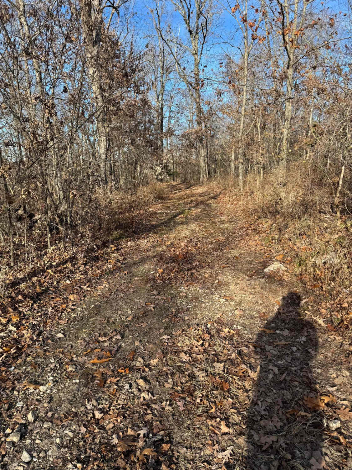
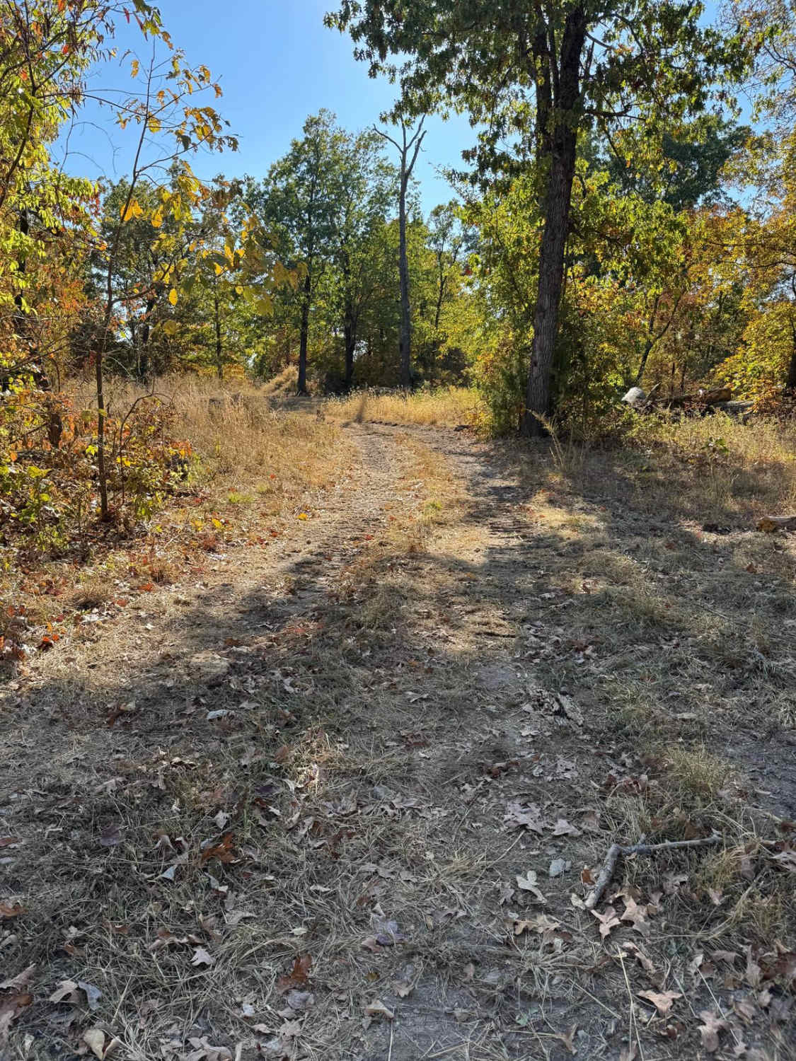
Sam Crocker Cemetery, Upper Goodwater, or the Iron County Road 80, is a gravel county road in western Iron County, Missouri, partially within the Potosi Unit of Mark Twain National Forest. Sam Crocker Cemetery Road is made up of rugged creek gravel, a creek crossing, and red dirt, which Iron County is known for having. The track is spread out over a valley bottom along the Courtios Creek, which begins in this very valley from the hillside water run-offs and the two springs located along this road. The southern end of the track climbs up a hillside, temporarily being paved, to the ridges high that host Missouri Route 32; this section is surrounded by Mark Twain National Forest. On the northern end of the road, the Sam Crocker Cemetery is located right after the Courtios Creek crossing, and near the middle of the track, there is a water spring located right off the road on private property. It is housed within a rustic log spring house, forming an obvious stream from this structure to the road, going through a culvert to the other side, carrying on north to become part of the Courtios Creek. Please respect the Spring House as private property. If interested in the history of East End, Missouri, and the Sligo and Eastern Railroad, check out the history section of this feature trail.
Photos of Sam Crocker Cemetery - CR 80
Difficulty
The Iron County 80 is given a base rating of 2/10 for having a small water splash crossing the Courtios Creek, as well as the natural creek gravel and rock used for a road surface along the track. The middle hill section on the track must have been problematic in the past and has been paved. Difficulty can increase in seasons of rain and wet conditions, or from heavy use and lack of maintenance. The road could have less present difficulty if it were to be mended with fresh chat gravel, and if the water crossing had a hard bottom or a permanent bridge installed.
History
East End is a settlement location at the intersection of Missouri Route Z, 49, and 32 southwest of Iron County 80. Another name for the settlement was Roulon, as this is what the rail line workers called it, with the word "Roulons" in French translating to "Let's Ride". In the long run, East End stuck as the lasting name. This was formerly the eastern end of the Sligo and Eastern Railroad. The Missouri State Historical Society had this to say about East End: "East End is in the western part of Iron County, Missouri, not far from the junction of highways 32 and 49. The area was settled in the mid-nineteenth century, although individuals from Potosi and the Bellevue Valley might have lived there earlier. The small community, on the headwaters of Huzzah Creek, was close to the hamlets of Goodland and Goodwater, but it was called East End after the arrival of the Sligo and Eastern Railroad in 1912. The line was built to supply the iron furnace at Sligo in Dent County. Established in 1880 and rebuilt in 1891, Sligo required one hundred and fifty cords of wood daily as fuel, and the ironworks there drew on thousands of acres of hardwood timber as far east as East End. The Sligo and Eastern hauled cordwood for the furnace as well as dimensional lumber produced by sawmills along the line. The railroad also hauled many tons of iron ore to the furnace from mines in Dent and Phelps counties. East End prospered so long as Sligo remained in operation, but it declined quickly after the furnace closed in 1923. The plant at Sligo was eventually dismantled, and the tracks to East End were scrapped by 1929." Looking at old maps, the settlement also had a school named West End, on the west side of the settlement, near the modern-day intersection of Missouri Routes 32 and 49. The Sam Crocker Cemetery is the final resting place of lives that lived between 1799-2025 (present), with the first burial being in 1878. Please respect those who came before us, and leave the cemetery as or better than you found it. Documented by Christopher Menz, 11/2025, for more context to East End and Sligo and Eastern, look up the Chris Nails Historic Trails series "Finding Lost Lake" on YouTube and Rumble.
Status Reports
Sam Crocker Cemetery - CR 80 can be accessed by the following ride types:
- High-Clearance 4x4
- SUV
- SxS (60")
Sam Crocker Cemetery - CR 80 Map
Popular Trails

Commitment Hill Climb 1

Yellow 316
The onX Offroad Difference
onX Offroad combines trail photos, descriptions, difficulty ratings, width restrictions, seasonality, and more in a user-friendly interface. Available on all devices, with offline access and full compatibility with CarPlay and Android Auto. Discover what you’re missing today!