Roadkill Cafe - FS 504
Total Miles
1.6
Technical Rating
Best Time
Spring, Summer, Fall, Winter
Trail Type
Full-Width Road
Accessible By
Trail Overview
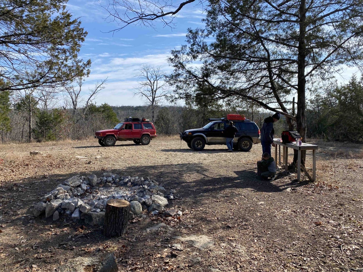
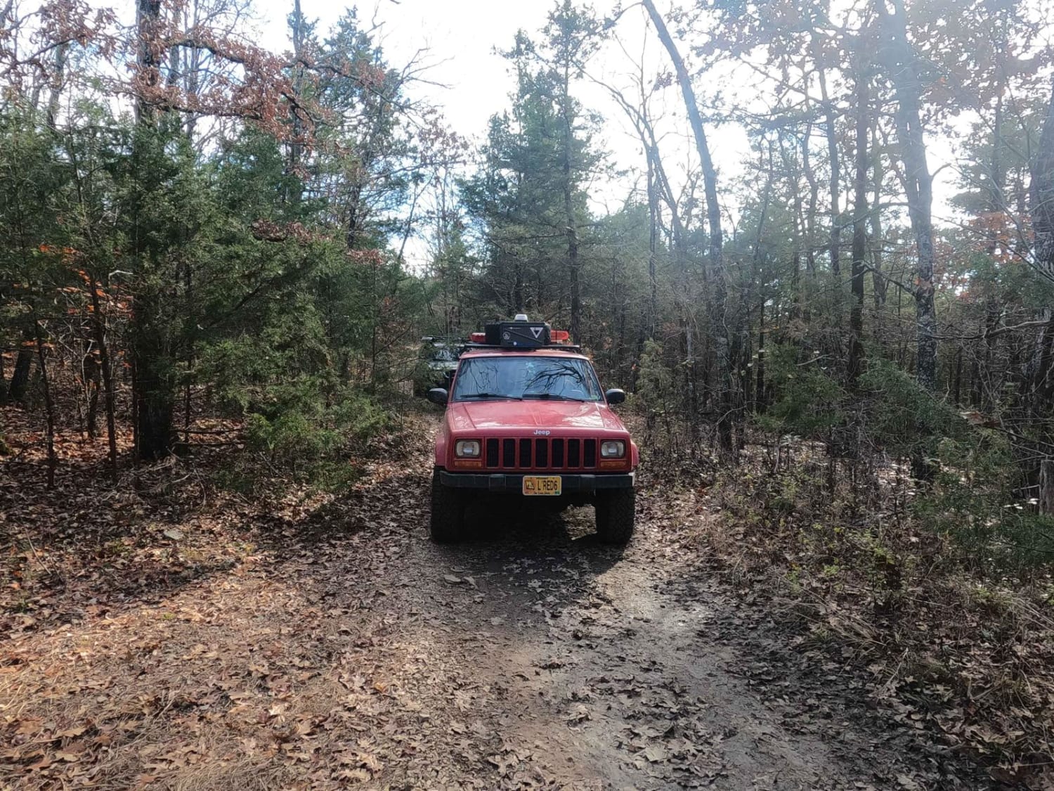
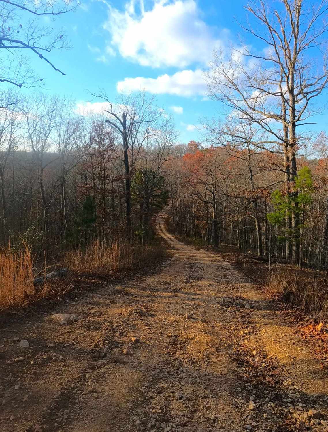
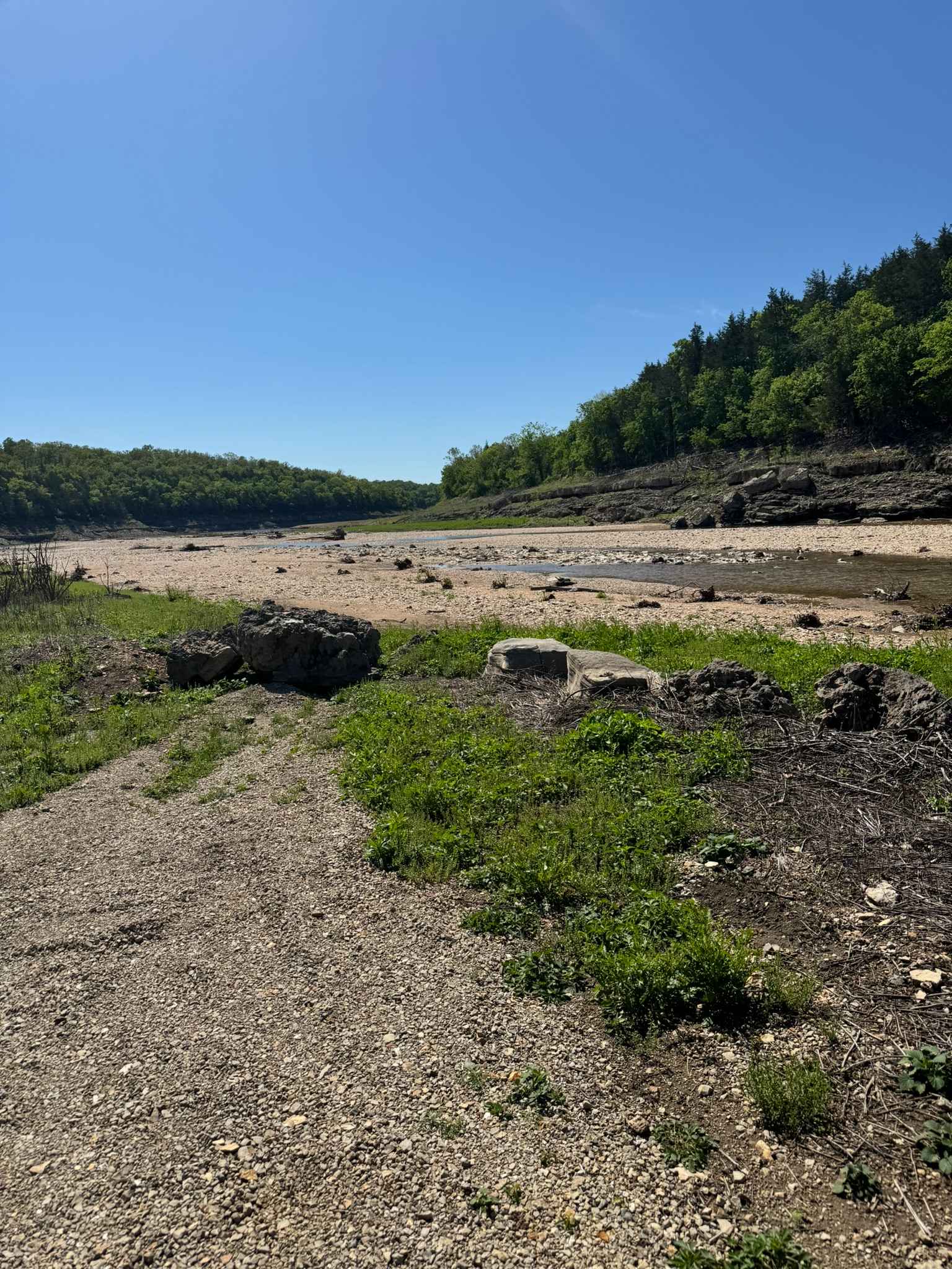
Roadkill Cafe FS 504 (or Lower West Fork) is a natural forestry road branching off the Glade Top National Scenic Byway within Mark Twain National Forest, Ava Unit. It is a mild example of a Glade Top side trail, slowly going downhill from the ridgetop where it leaves the FS 507B down to the valley bottoms below neighboring the West Fork Creek--hence the forestry pet name for the trail Lower West Fork. Along the way, the terrain includes hard-bottomed water holes, scattered natural cobble rock throughout, occasional glade rock ledges, and a few mild feeder channel water crossings, before ending within walking distance to the West Fork Creek. The unique feature of the Roadkill Cafe is the dispersed camp and parking lot that exists midway through the trail. It features a wooden table built with the aid of trees, an extra-large fire ring, and enough room to park many vehicles. This is a great mid-day staging point for lunch or a break when exploring the general area of FS 507 and 509. This can be found at 36.61968, -92.79932. As of late 2023, the Roadkill Cafe sign has sadly since been removed or stolen; if it is replaced, please respect the general public's benefit and use of said sign.
Photos of Roadkill Cafe - FS 504
Difficulty
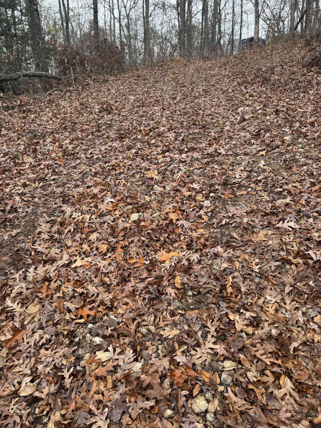
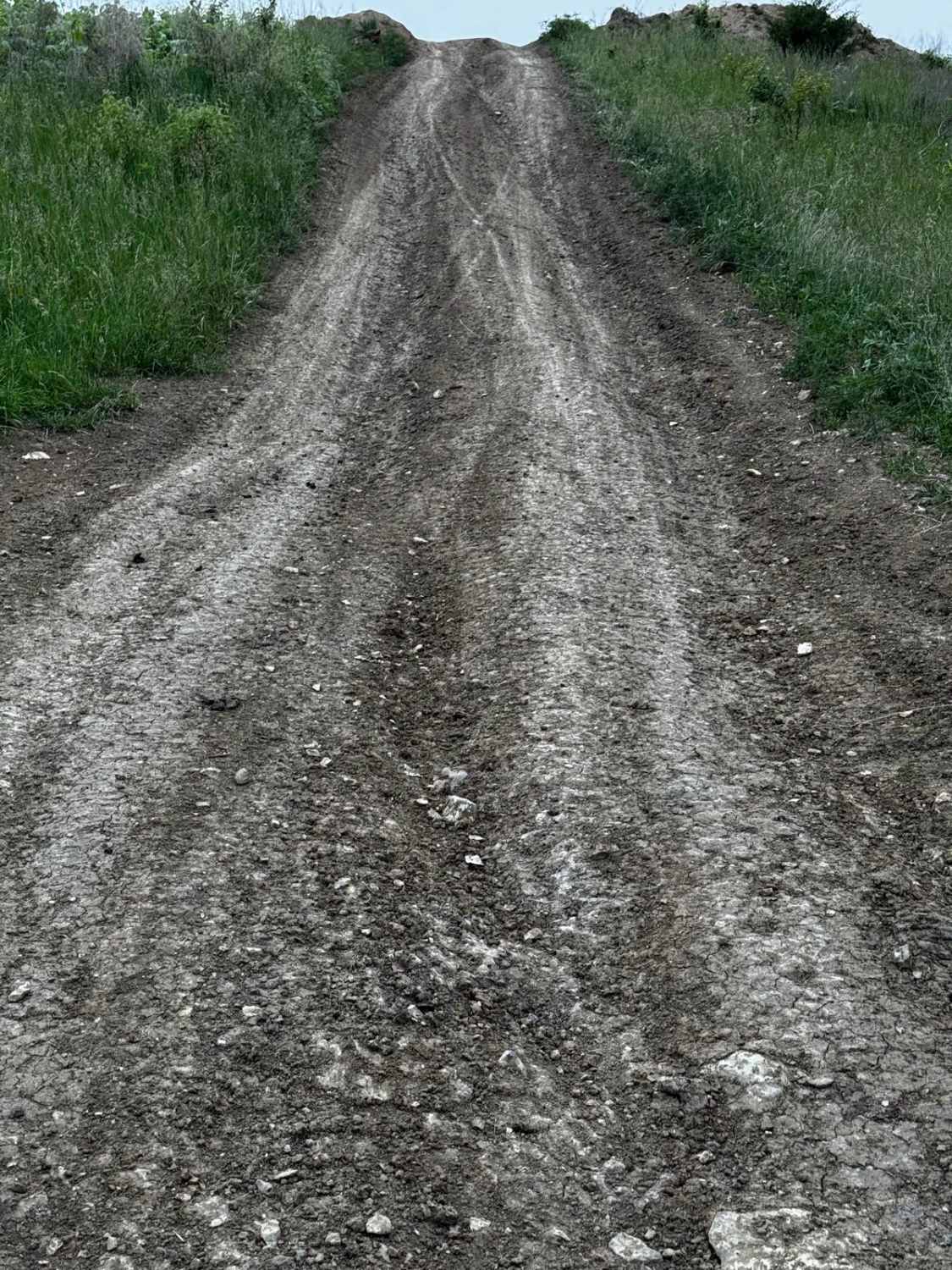
The FS 504 is a mild example of a Glade Top side trail, traversing a slow grade from the ridgetop to the valley bottoms neighboring West Fork Creek. s, less likely 6 to 10-inch) and rare potential for small half-man boulders (10 to 16-inch range), featuring flat ridge top sections transforming to mild and moderate grades with several glade rock ledges, steps, and slabs along the way. These ledges range from 6 to 12 inches consistently, a few up to 18 inches. With a less-built vehicle, the driver will have to be picky about what line to take. There are also small water collection spots on the northern portion of the trail, but they are shallow (3 to 12 inches) and hard-bottomed. With the mild grade leading from the ridgetop to the bottoms of West Fork Creek, it is likely to find mild forms of rain erosion and rutting yielding water-inspired obstacles, especially when crossing some of the feeder channels that feed the West Fork Creek from the hillside. These are generally small, no deeper than 12 inches, and are hard-bottomed. All this said, the trail is given a base rating of low-demand 3/10, for meeting the 12-inch ballpark on the small rock ledges and the few water holes and soft ruts that are potentially in the collection spots. Difficulty can increase in times of wet conditions and inclement weather. Note that some of the Missouri rock is very sharp and the locust trees have thorns that can puncture tires.
History
The Glade Top Trail is a Civilian Conservation Corps [CCC] built road that was designated a Scenic Byway in 1989. Portions of Forest Roads 147, 149, and 150 comprise the trail. The trail follows a series of ridgetops through the central glade area of the White River Hills. The Glade Top Trail is little changed from the original road constructed by the Civilian Conservation Corps in the late 1930s. For twenty-three miles, the two-lane, all-weather gravel road follows narrow ridge tops rising approximately 500 feet above the surrounding rolling countryside and overlooks and passes through many limestone/dolomite glades interspersed with open and closed woodlands. (Sourced from the USDA website.)
Status Reports
Roadkill Cafe - FS 504 can be accessed by the following ride types:
- High-Clearance 4x4
- SUV
Roadkill Cafe - FS 504 Map
Popular Trails
Rollercoaster
Mincy Bee Creek Trail
The onX Offroad Difference
onX Offroad combines trail photos, descriptions, difficulty ratings, width restrictions, seasonality, and more in a user-friendly interface. Available on all devices, with offline access and full compatibility with CarPlay and Android Auto. Discover what you’re missing today!