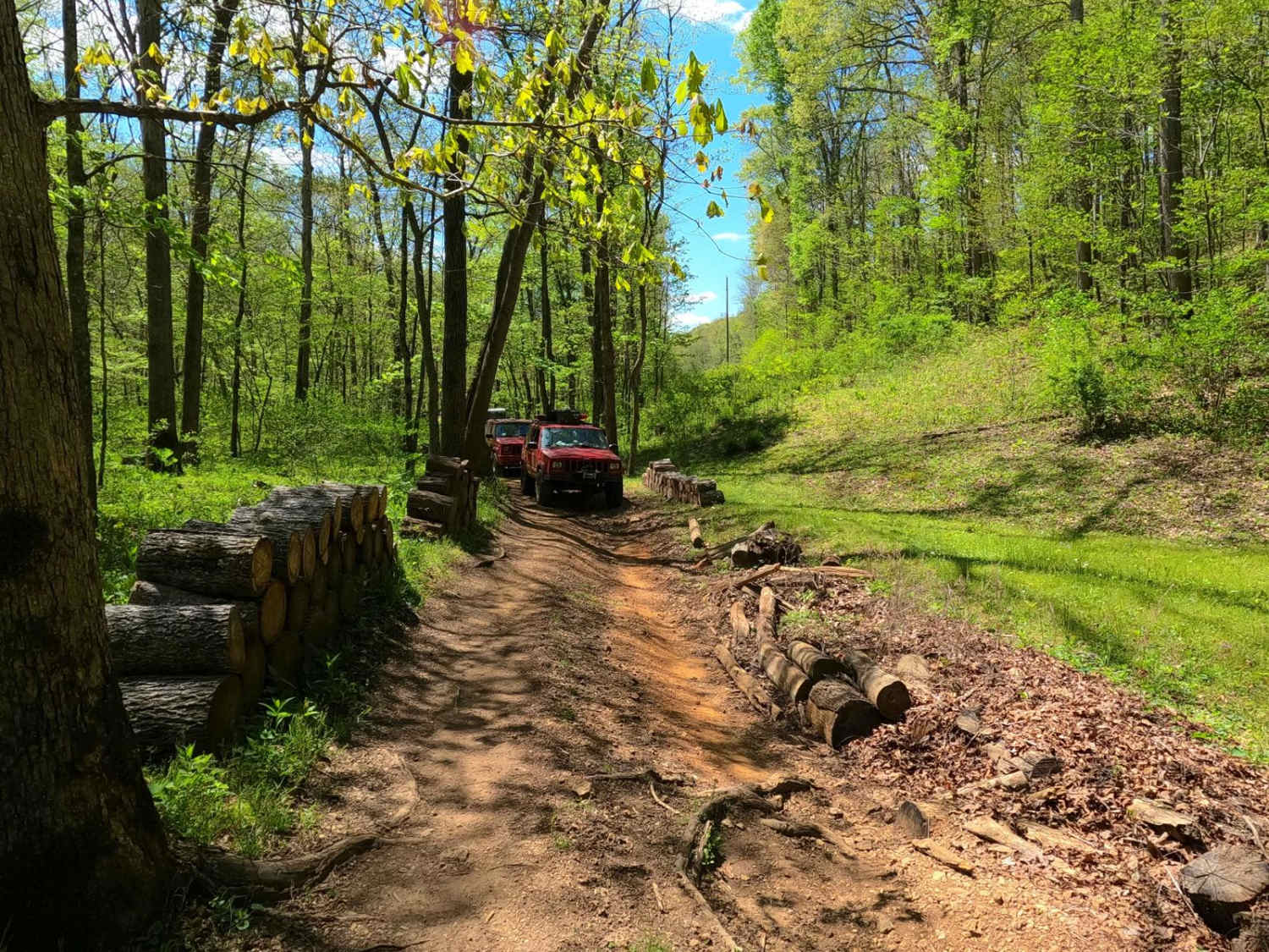
Stacked Log Trail
Total Miles
1.6
Technical Rating
Best Time
Spring, Summer, Winter, Fall
Trail Type
Full-Width Road
Accessible By
Trail Overview
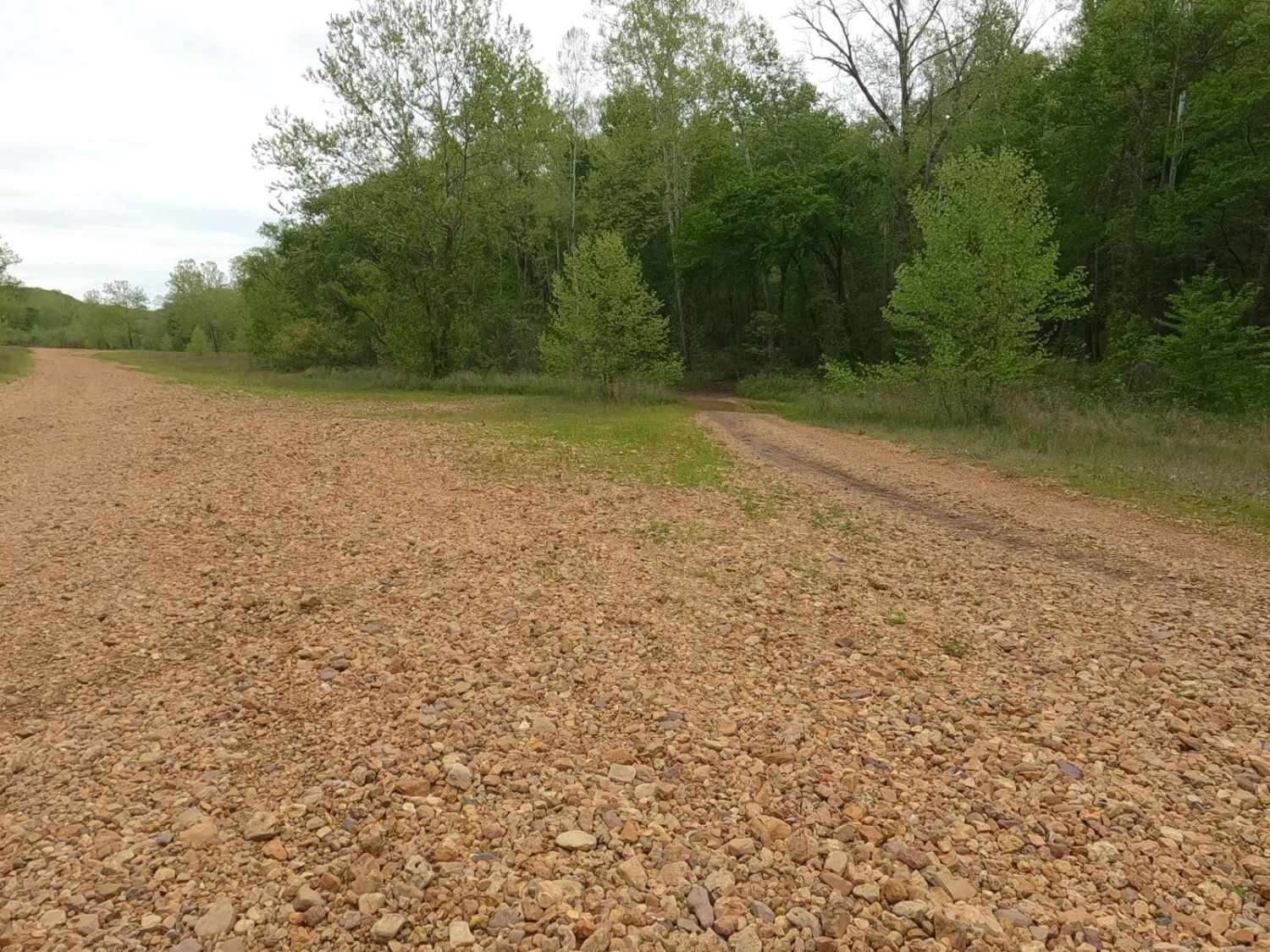
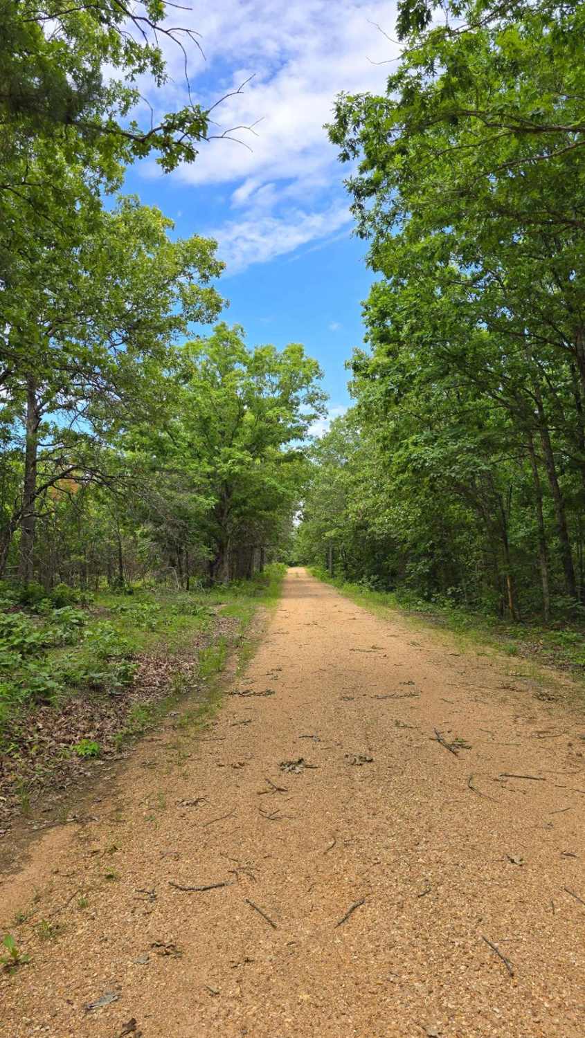
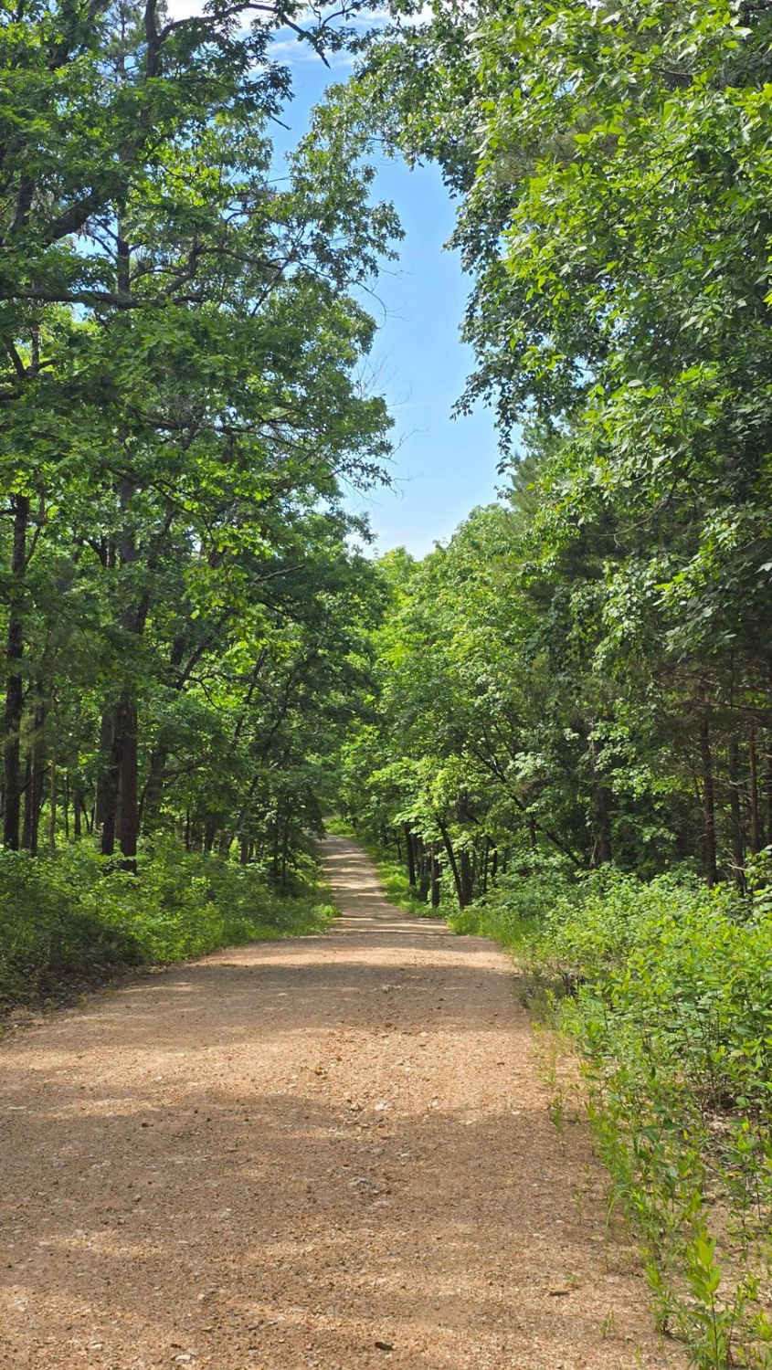
Stacked Log Trail, also known as the Spool Bypass or Reynolds County Road 458, is a half coarse gravel road, half natural dirt/small rock trail through the north central portion of the Black River Bottoms area within the Clearwater Lake U.S. Army Corps of Engineer Land. Stacked Log starts at the Central Bluff Trail in the valley at 37.27019, -90.77353, leaving the open gravel area and tracking into the woods. The woods feature some tight turns and mud holes before slowly starting a mild grade uphill paralleling a small feeder creek channel. There, the trail shows signs of mild erosion and small cobbles scattered amongst the small tree roots and natural rock obstacles. This leads to the area where the trail gets its name; the trees begin to open up to a few privately owned cabins with stacked wood right on the edge of the trail. Here the trail also begins to slowly lean more and more toward a maintained gravel road. As the road becomes full gravel, the grade increases to climb 200 feet in elevation over 0.35 miles to the ridgetop, meeting the Spool Ridge Trail at 37.28401, -90.76521 and riding the ridge to the intersection with Hackworth Hollow Trail and Long Ridge Road at 37.28381, -90.76018. This is a trail worth knowing to add diversity or an alternative route and to get out of the bottoms headed northbound. It's reasonably fast in use (compared to the Spool Ridge Trail) but still has a thrill.
Photos of Stacked Log Trail
Difficulty
Stacked Log is easygoing. The northern side of the trail is generally a 1/10 coarse gravel road, featuring a steep grade with potholes, washboarding, and mounding of gravel to be expected. The southern portion of the natural trail features consistent 2/10 terrain, with small erosion ruts, tree roots, small cobbles, and natural rock poking out at the surface, all less than 12 inches in height. The trail gets its 3/10 base rating from the soft bottom mud and hard bottom water holes at the most southern section of the trail. These are easily in the 12-inch-depth ballpark and could be more when the bottoms are flooded or heavily used and beaten. The difficulty could decrease if the mudholes were to dry out or be mended, but the difficulty can increase in times of wet conditions and heavy use. If in doubt, probe them out for depth and softness.
History
The history surrounding the bottoms is one of fighting for public access. This is an example where the presence and public use of Reynolds County Roads 464, 462, 460, 458, 456, 446A, and more have been the driving force keeping these trails open. Locals refuse to let their historic roads be taken away, yielding a place we all can enjoy and use. Please do your part in keeping this place alive; pack it in/pack it out, follow the green and red route markers as marked, and don't drive in the Black River or form new trails.
Status Reports
Stacked Log Trail can be accessed by the following ride types:
- High-Clearance 4x4
- SUV
- SxS (60")
- ATV (50")
- Dirt Bike
Stacked Log Trail Map
Popular Trails
Schott - FS 1516
Kaintuck Hallow - FS 1592

Parkstone Drive
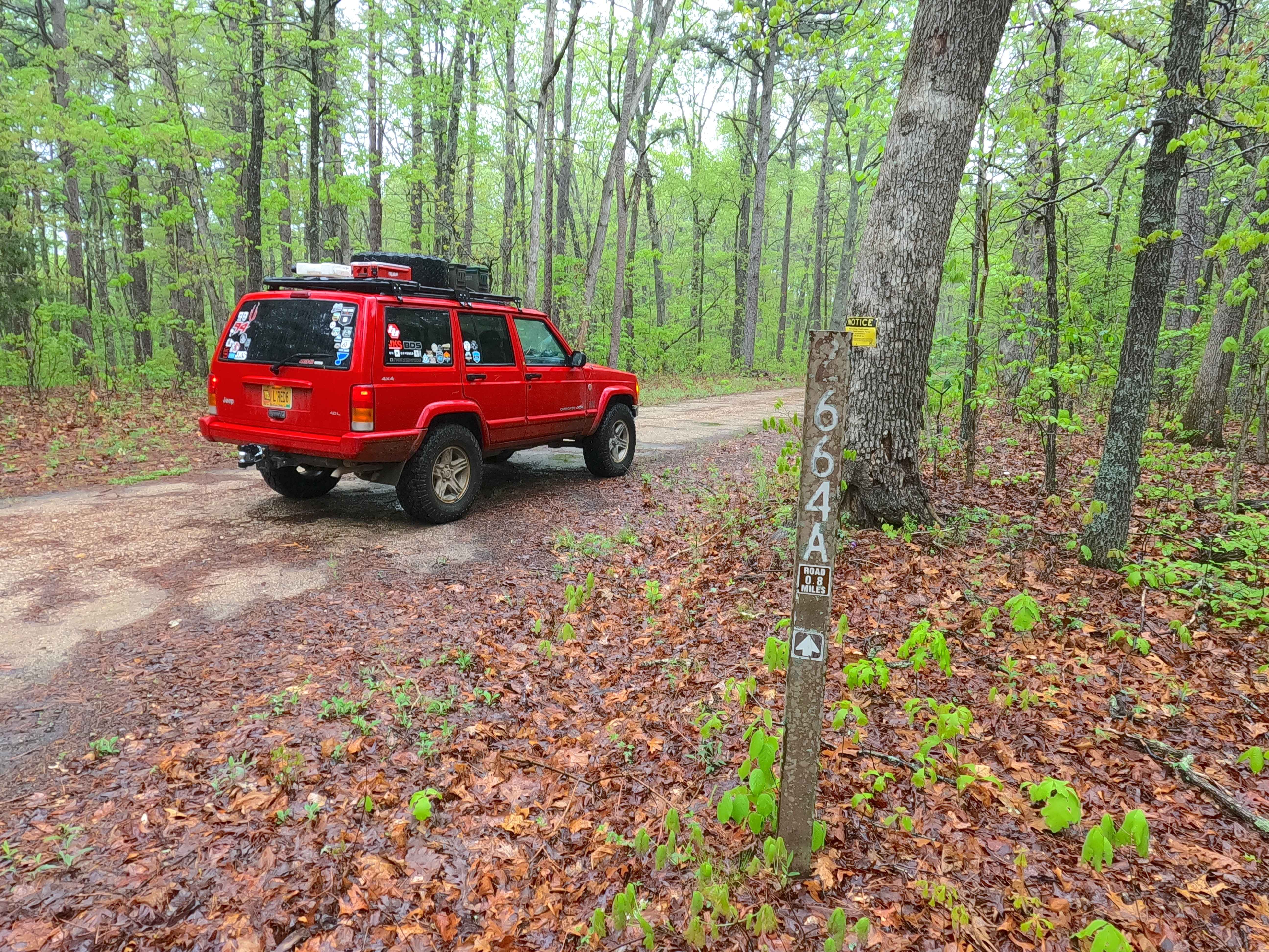
Ironwash Spur A - FS 2664A
The onX Offroad Difference
onX Offroad combines trail photos, descriptions, difficulty ratings, width restrictions, seasonality, and more in a user-friendly interface. Available on all devices, with offline access and full compatibility with CarPlay and Android Auto. Discover what you’re missing today!