Surrott School - FS 591
Total Miles
1.9
Technical Rating
Best Time
Spring, Summer, Fall, Winter
Trail Type
High-Clearance 4x4 Trail
Accessible By
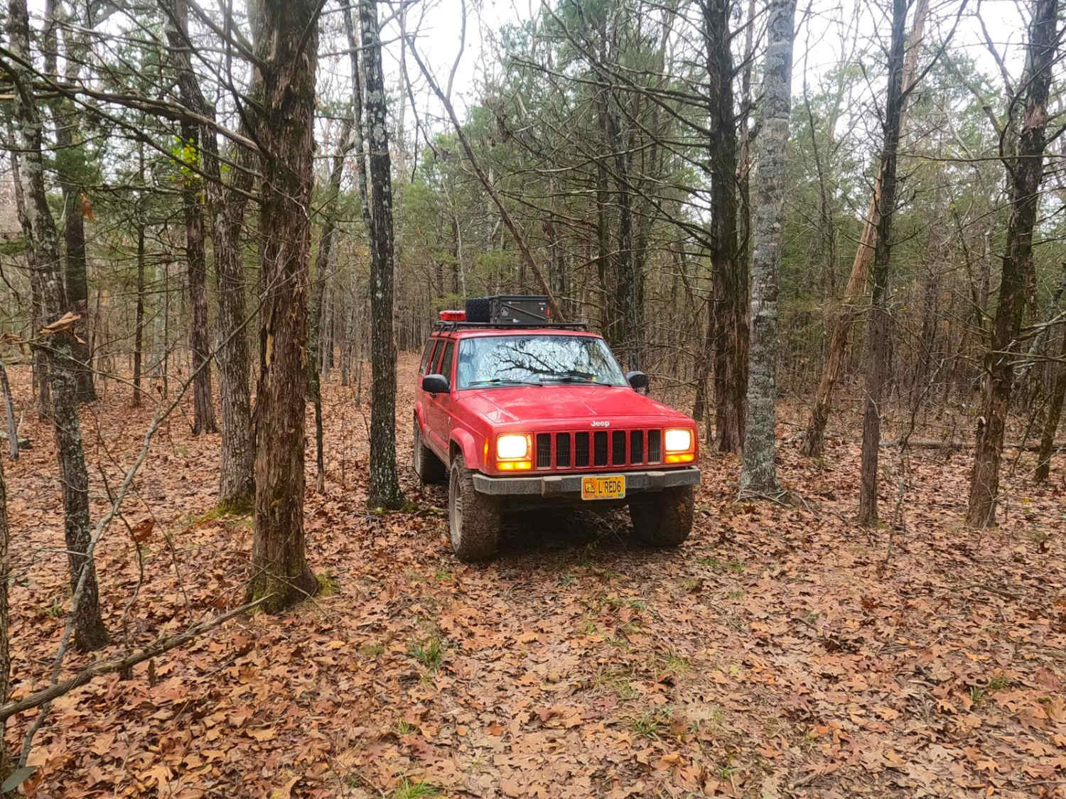
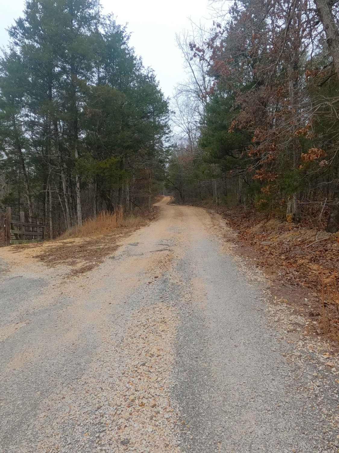
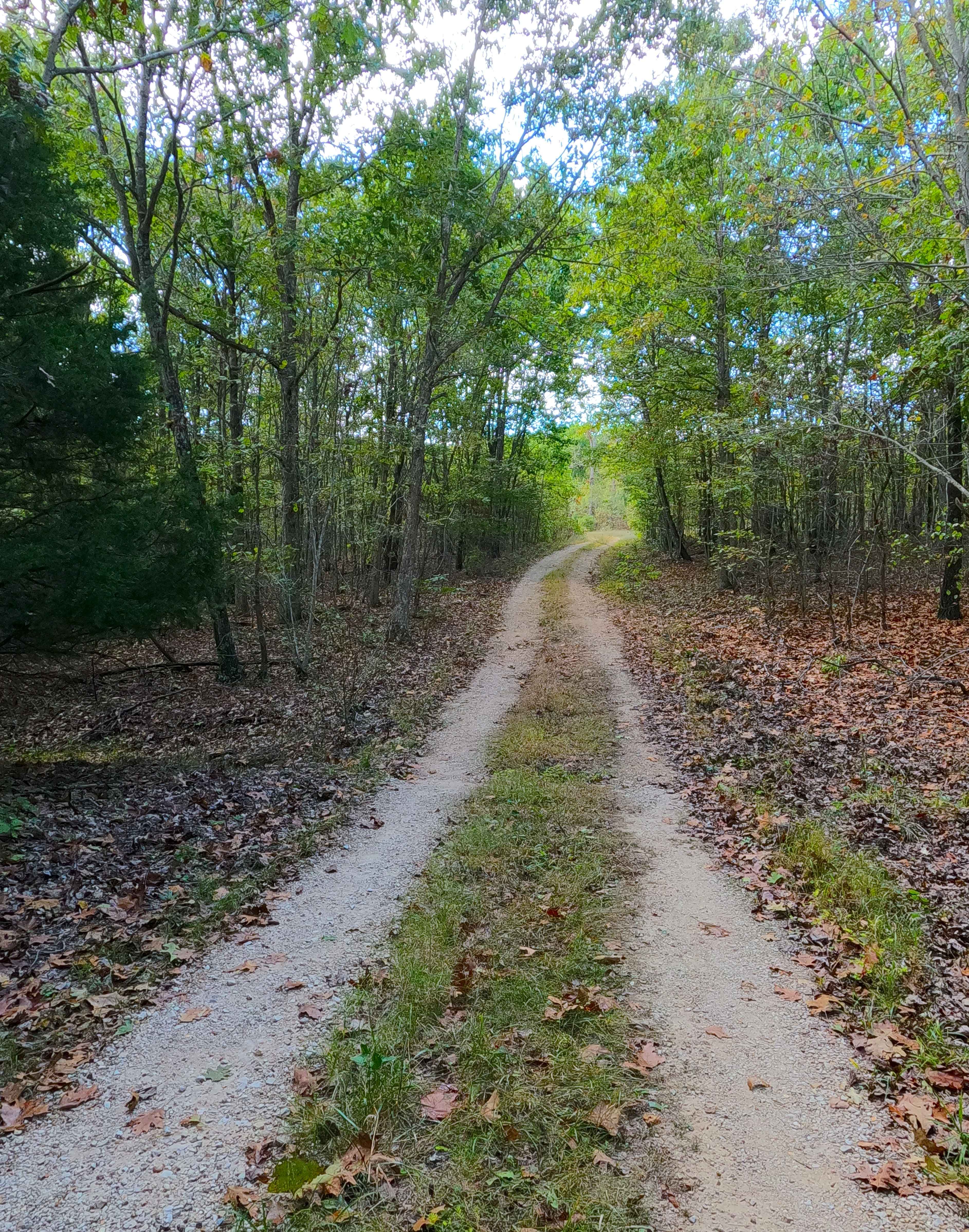
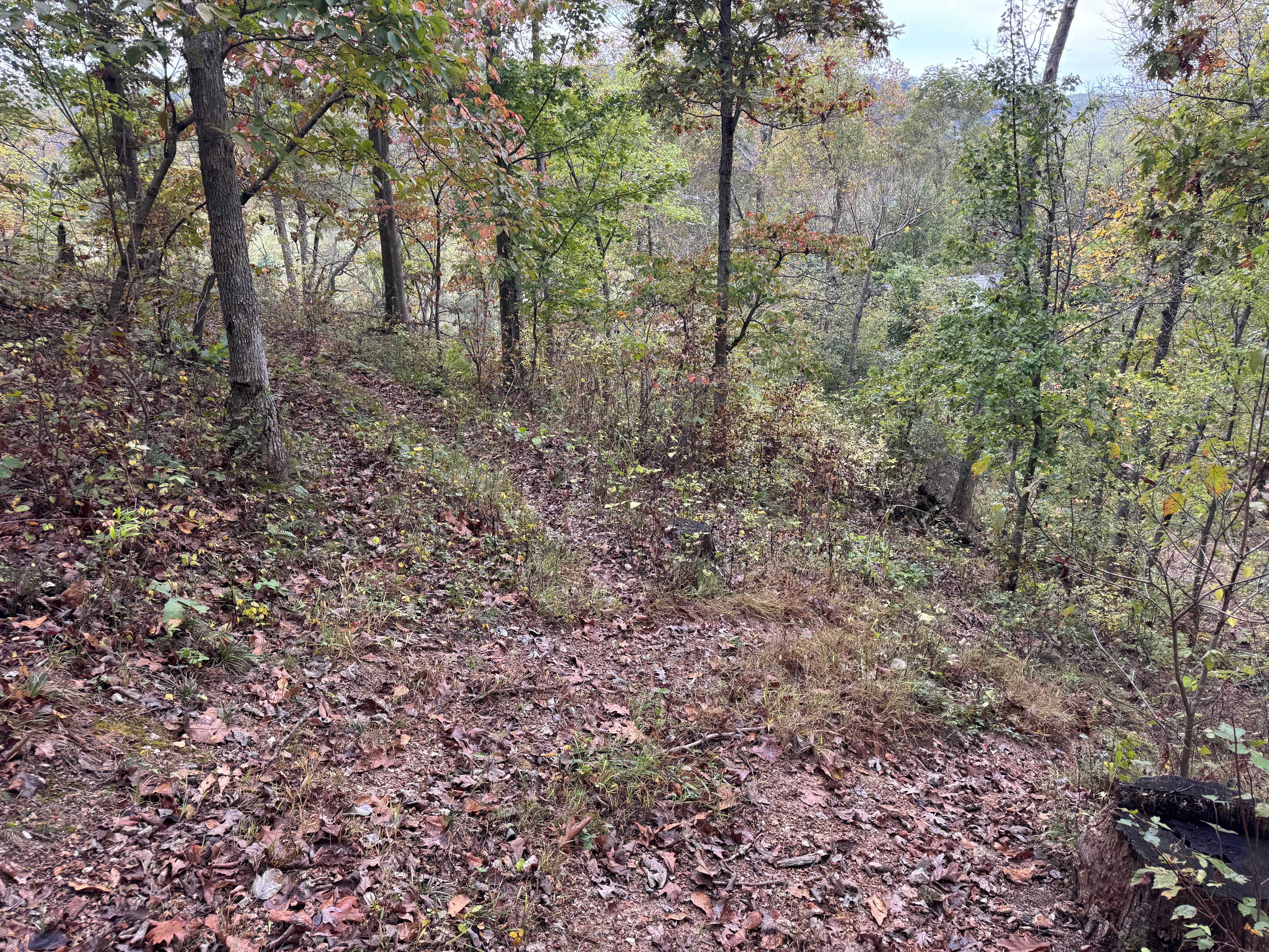
Trail Overview
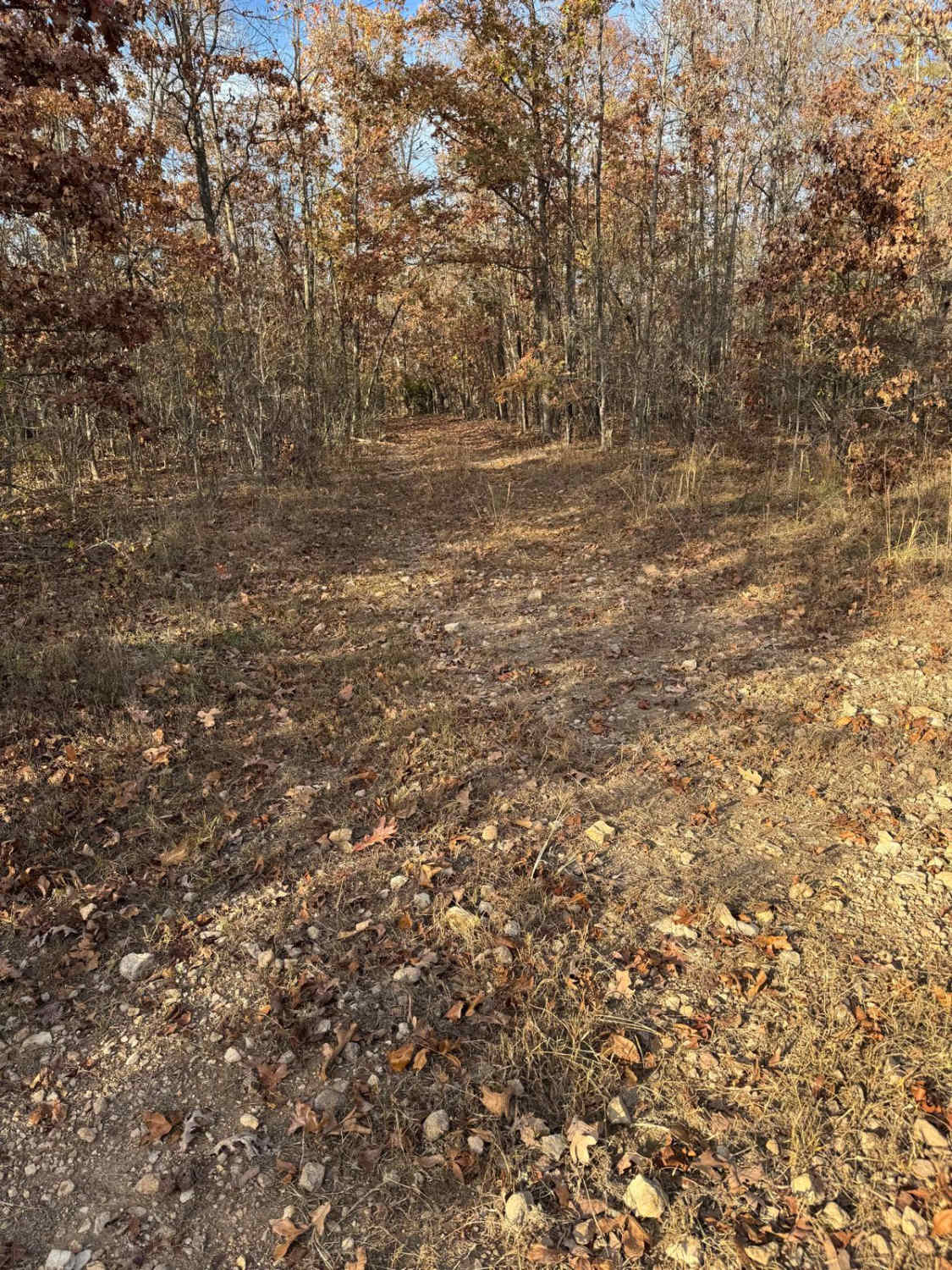
Surrott School FS 591, featuring part of Prairie Dog Road, is a natural-terrain forest service road within the Mark Twain National Forest Ava Unit, which is part of the greater Glade Top area. The road leans into the identity of being a long-lost hunting track, featuring narrow widths amongst tight trees with most of the trail being dirt and natural coarse gravel rock, with mild erosion, short ledges, and large cobbles. The hunting purpose shines even more when noticing the spot on the far west end for a large dispersed camp, with more proof in the centralized small open field that could host several hunters at once. A nice small trail to hit if looking to hit mild terrain and get a feel for how tight parts of Mark Twain National Forest can be!
Photos of Surrott School - FS 591
Difficulty
FS 591 is given a base rating of 2/10, features small rock slabs being right at 6" in height on the mild graded inclines of the trail, and are present mostly on the far east half, the erosion on this half also had depths of 12", but has gentle slopes in and out of the rut, when documented in December 2024, on the far west half there was some surface mud, with very mild water collection spots being less than 6" in depth with soft bottoms. Does feature tight trees and is not very suitable for full-size vehicles.
History
As the name of the trail would suggest there was indeed a school close to the trail, specifically at the beginning of the Prairie Dog Road at 36.82839, -92.99962, but not the Surrott School, rather the Surratt School, this spot is now privately owned and shows no signs of the old school, but this is an example of an interesting trend of the Forest Service naming things after real historic places, but having slight errors/variations in the spelling, perhaps from a typewriter being translated or for potential legal means, as to further separate the old land ownership from Forest ownership. Adding more to the mystery, the Surratt Creek runs directly south of the school's former location backing the spelling with the letter A versus with an O. The Surratt School remained on local topo maps until 1945, after which it disappeared, surely closely matching it's real-life demise.
Surrott School - FS 591 can be accessed by the following ride types:
- High-Clearance 4x4
Surrott School - FS 591 Map
Popular Trails
Asher - FS 2484
Top 'O the Hill

Lost Meridian - FS 2420
Yellow 178
The onX Offroad Difference
onX Offroad combines trail photos, descriptions, difficulty ratings, width restrictions, seasonality, and more in a user-friendly interface. Available on all devices, with offline access and full compatibility with CarPlay and Android Auto. Discover what you’re missing today!