Sutton Bluff ATV 1 - SB 1
Total Miles
5.8
Technical Rating
Best Time
Spring, Summer, Fall, Winter
Trail Type
50" Trail
Accessible By
Trail Overview
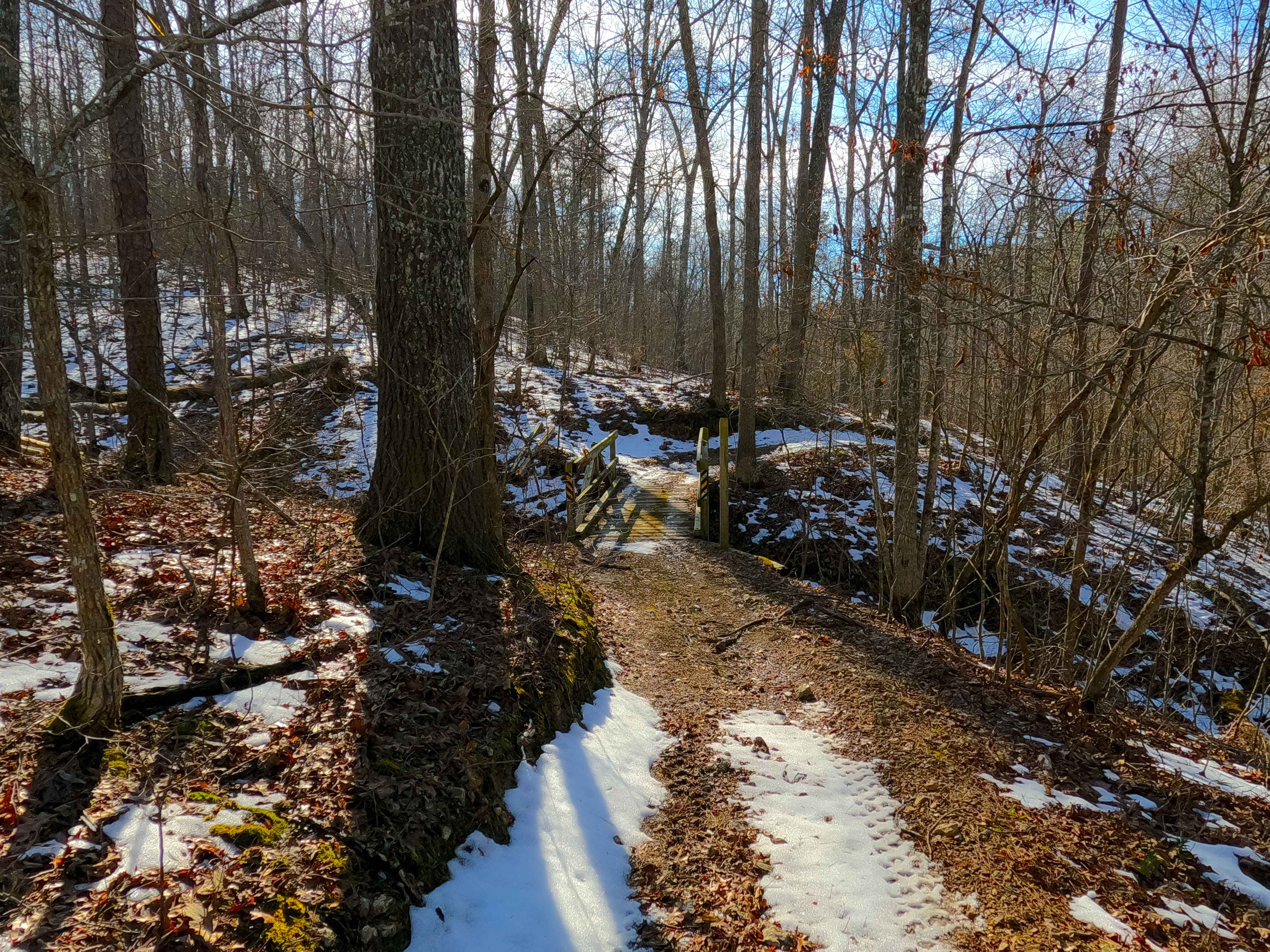
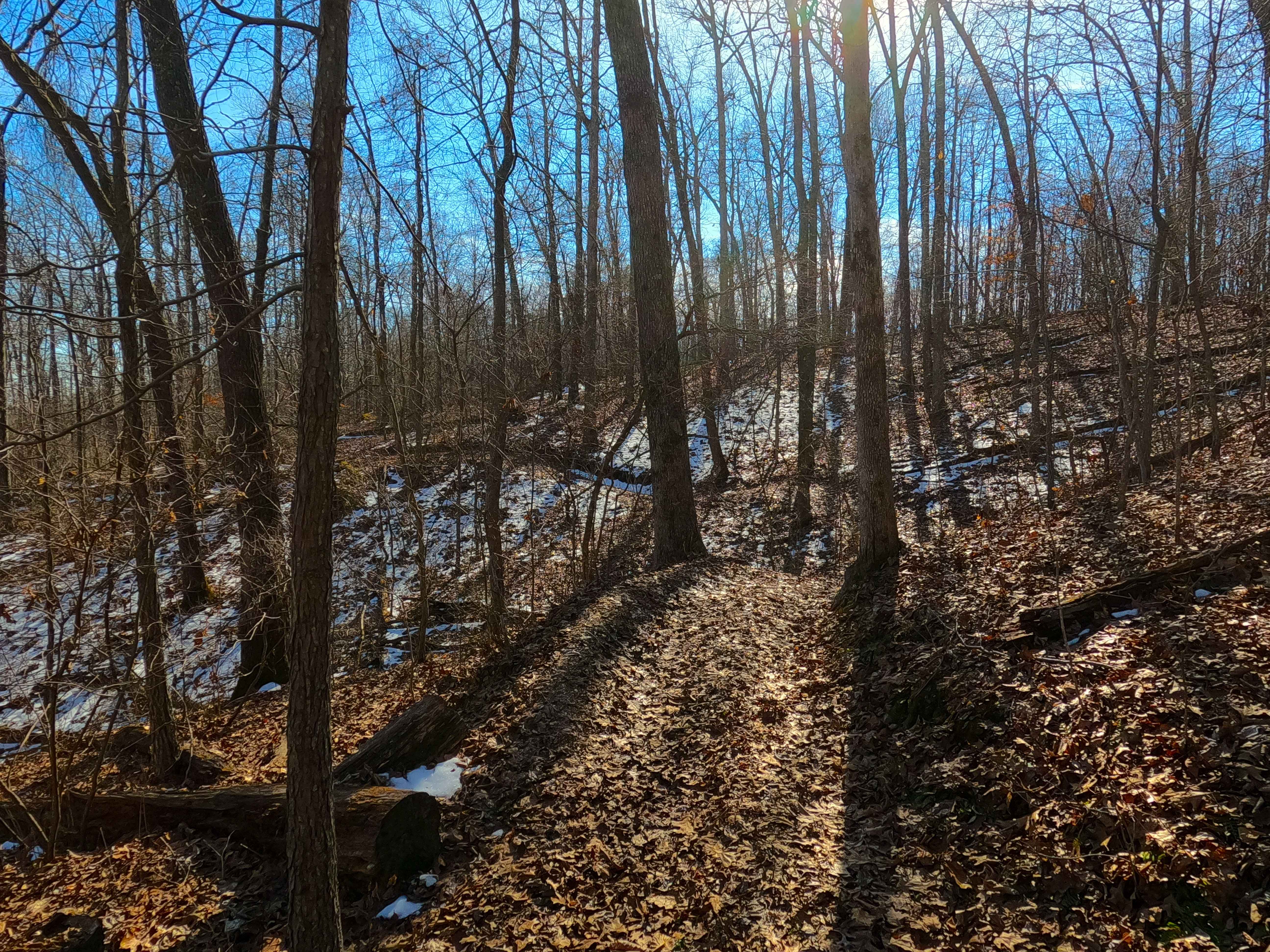
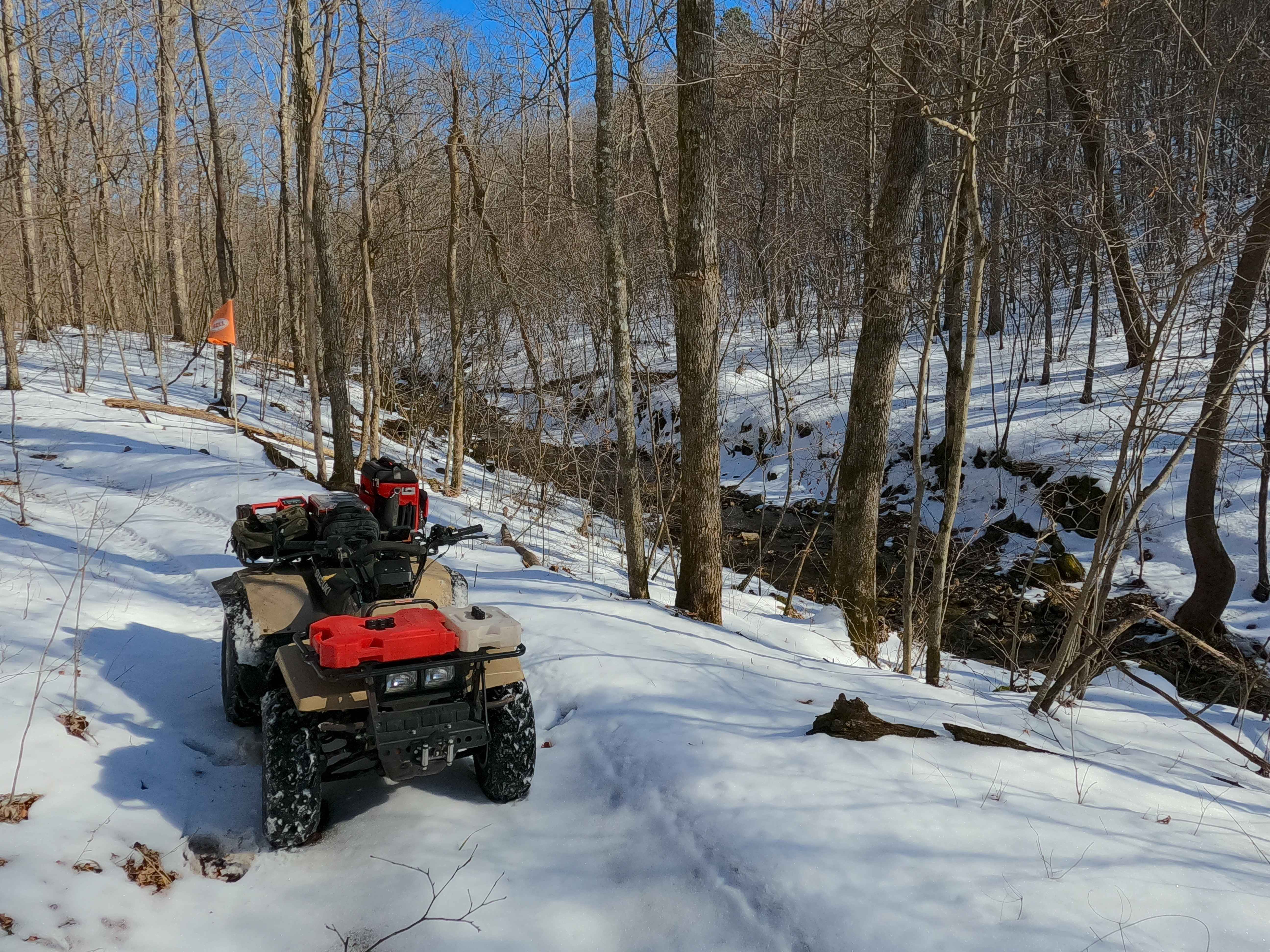
Sutton Bluff ATV 1, also known as Long One, with the legal/emergency ID SB 1, is a 50-inch and under restricted trail within the Sutton Bluff OHV trail system, managed by the Mark Twain National Forest Salem Unit. SB 1 is a solo trail in the far northwest portion of the Sutton Bluff OHV. Summary of the entire track staring at the south trailheads begins on a ridge top, starts heading east at the gate to quickly turn south going downhill via switchbacks to the southernmost point, where it turns north, crossing a few switchbacks before landing in the valley and Wolf Creek, this continues north in the valley with one extension east to the powerline tract, before it hits more switchbacks to go uphill to the ridge top at the northern most point, where it crosses another powerline tract, shortly to conclude at the north trailhead. The SB 1's notable core elements include a natural coarse gravel-dirt path, featuring whoops, loose cobbles, mini boulders, natural rock slabs, tree roots, with small water crossings and water collection spots, and 3 wooden bridges that cross over the Wolf Creek that contributes to the Mill Branch creek, and eventually the West Fork of the Black River. To enjoy this trail and OHV system, obtain the required Sutton Bluff permit from Mark Twain National Forest, and if intending to use an ATV on Reynolds County Roads to commute between trails, obtain the Reynolds County ATV/UTV permit as well, in accordance with Missouri state laws.
Photos of Sutton Bluff ATV 1 - SB 1
Difficulty
The SB 1 is given a base rating of 3/10, for having small 3-12 inch water crossings and water collection spots, with steep grades throughout the majority of the track, occasional small 3-12 inch fallen trees, tree roots acting as mini 3-8 inch ledges, loose 4-10 inch cobbles laying loose in the trail, 10 inch to 18 inch mini boulders and natrual slabs present on edges or mostly buried within the ground as part of the path. Difficulty can increase, from heavy use and a lack of maintenance, large 12+ inch fallen trees blocking the trail, in wet or rainy conditions, inclement weather, or from damage sustained from flash flooding, and if actively flooding, consider the trail closed.
Status Reports
Sutton Bluff ATV 1 - SB 1 can be accessed by the following ride types:
- ATV (50")
- Dirt Bike
Sutton Bluff ATV 1 - SB 1 Map
Popular Trails
Sutton Bluff ATV 7 North - SB 7

Upper Field Trail

Wayne County Road 537
The onX Offroad Difference
onX Offroad combines trail photos, descriptions, difficulty ratings, width restrictions, seasonality, and more in a user-friendly interface. Available on all devices, with offline access and full compatibility with CarPlay and Android Auto. Discover what you’re missing today!