Sutton Bluff ATV 7 North - SB 7
Total Miles
1.6
Technical Rating
Best Time
Spring, Summer, Fall, Winter
Trail Type
50" Trail
Accessible By
Trail Overview
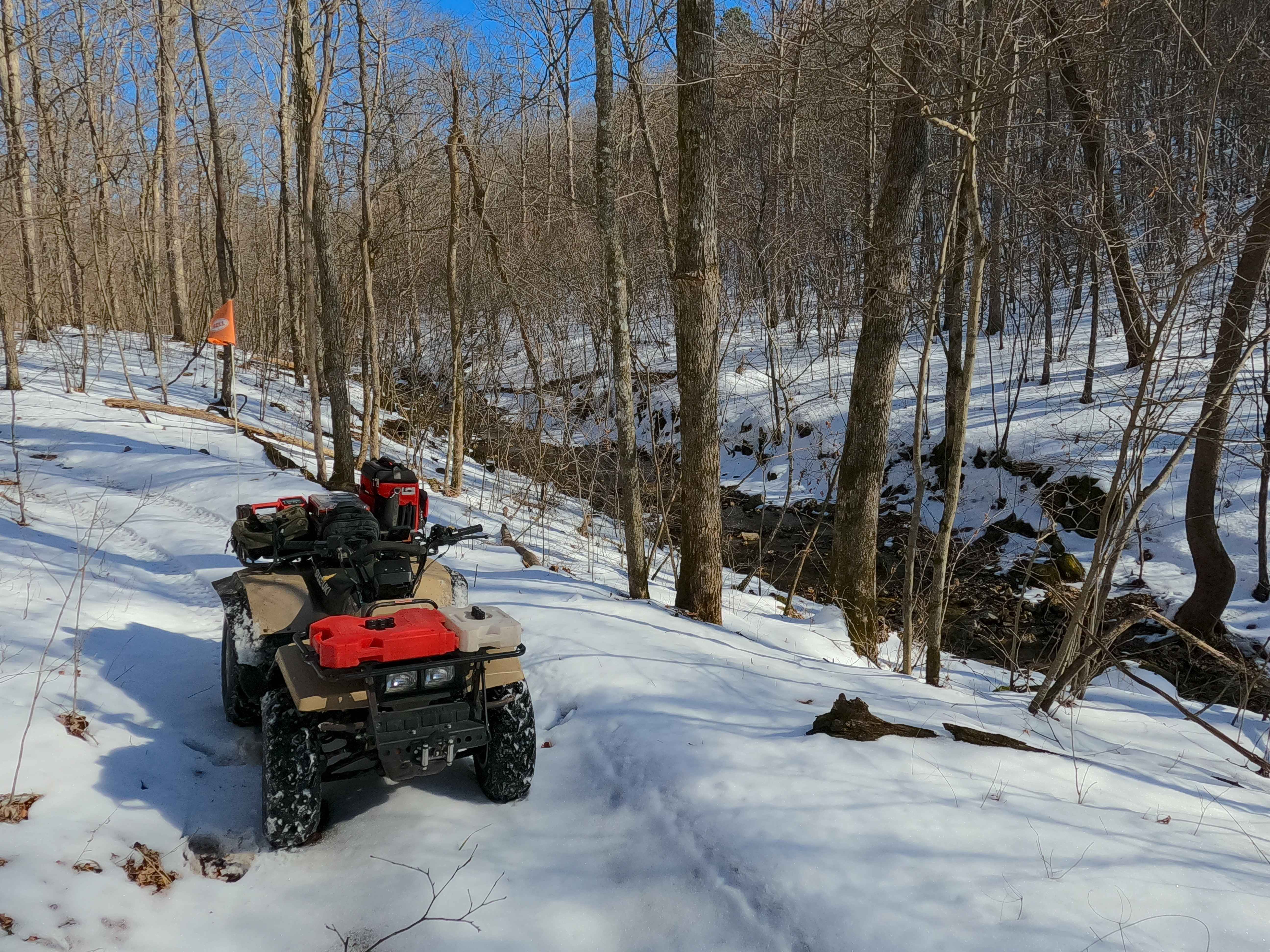
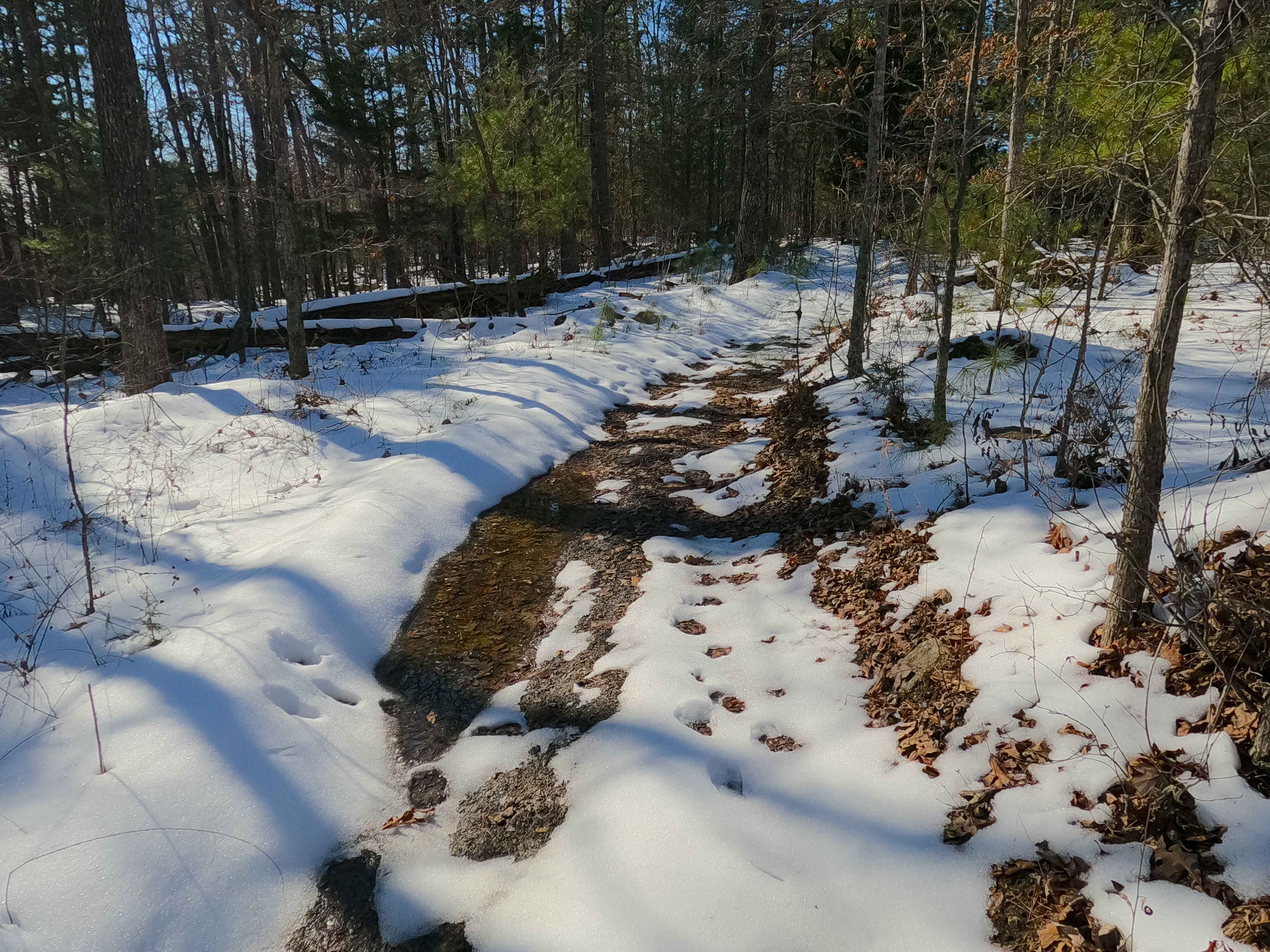
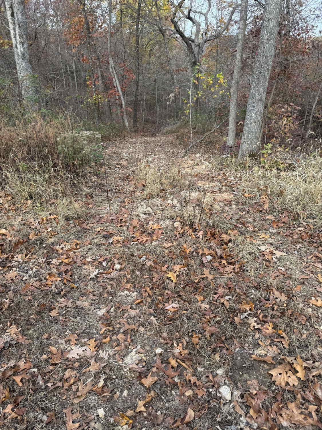
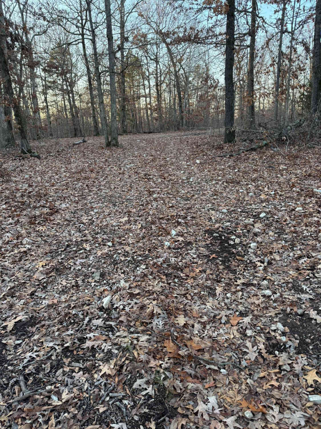
Sutton Bluff ATV 7 (North Section), also known as Stillwell Branch (legal/emergency ID SB 7), is a 50-inch and under restricted trail within the Sutton Bluff OHV trail system, managed by the Mark Twain National Forest Salem Unit. SB 7 North is a part of the "far east section" of Sutton Bluff OHV. Oriented as an east-to-west trail, it connects the Karkaghne Scenic Drive and SB 7 South on the east and the crossing with SB 7 South and SB 14 South on the west end. SB 7 North and SB 7 South together (as the entire SB 7) form a 5.3-mile loop and connect on both ends, the only such example in Sutton Bluff OHV. Summary of the SB 7 North track: starting from the west end at the crossing with SB 14 South and SB 7 South, SB 7 North follows the northeast exit from the three-way crossing, immediately paralleling Stillwell Branch Creek, crossing over a wooden bridge before rising along a hillside for a great view of the creek. It then drops back down to cross another wooden bridge, paralleling Stillwell Branch Creek up to the point that the creek seems to fade into a steeper hill of exposed rocks. This is where the trail encounters its one small switchback section, landing on the ridgetop where it passes the SB 15 East crossing. Lastly, it parallels 40 feet south of the Karkaghne Scenic Drive for its final stretch to end at the SB 7 North trailhead gate, along SB 7 South, 40 feet from the Karkaghne Scenic Drive. SB 7 North's notable core elements include a creek-valley section and then a hill-switchback section, via a natural coarse-gravel-dirt path, featuring whoops, loose cobbles, mini boulders, natural rock slabs, tree roots, two wooden bridges, and small water-collection spots. To enjoy this trail and OHV system, obtain the required Sutton Bluff permit from Mark Twain National Forest, and if intending to use an ATV on Reynolds County Roads to commute between trails, obtain the Reynolds County ATV/UTV permit as well, in accordance with Missouri state laws.
Photos of Sutton Bluff ATV 7 North - SB 7
Difficulty
SB 7 North is given a base rating of 3/10, for having small 3-12-inch water collection spots, steep grades throughout the eastern switchback section of the track, occasional small 3-12-inch fallen trees, tree roots acting as mini 3-8-inch ledges, loose 4-10-inch cobbles lying in the trail, 10-inch to 18-inch mini boulders and natural slabs present or mostly buried within the ground as part of the path. Difficulty can increase from heavy use and a lack of maintenance, large 12-inch+ fallen trees blocking the trail, in wet or rainy conditions, inclement weather, or from damage sustained from flash flooding. If it is actively flooding, consider the trail closed.
Status Reports
Sutton Bluff ATV 7 North - SB 7 can be accessed by the following ride types:
- ATV (50")
- Dirt Bike
Sutton Bluff ATV 7 North - SB 7 Map
Popular Trails

Green 115

The onX Offroad Difference
onX Offroad combines trail photos, descriptions, difficulty ratings, width restrictions, seasonality, and more in a user-friendly interface. Available on all devices, with offline access and full compatibility with CarPlay and Android Auto. Discover what you’re missing today!