Sutton Bluff ATV 11 - SB 11
Total Miles
2.2
Technical Rating
Best Time
Spring, Summer, Fall, Winter
Trail Type
50" Trail
Accessible By
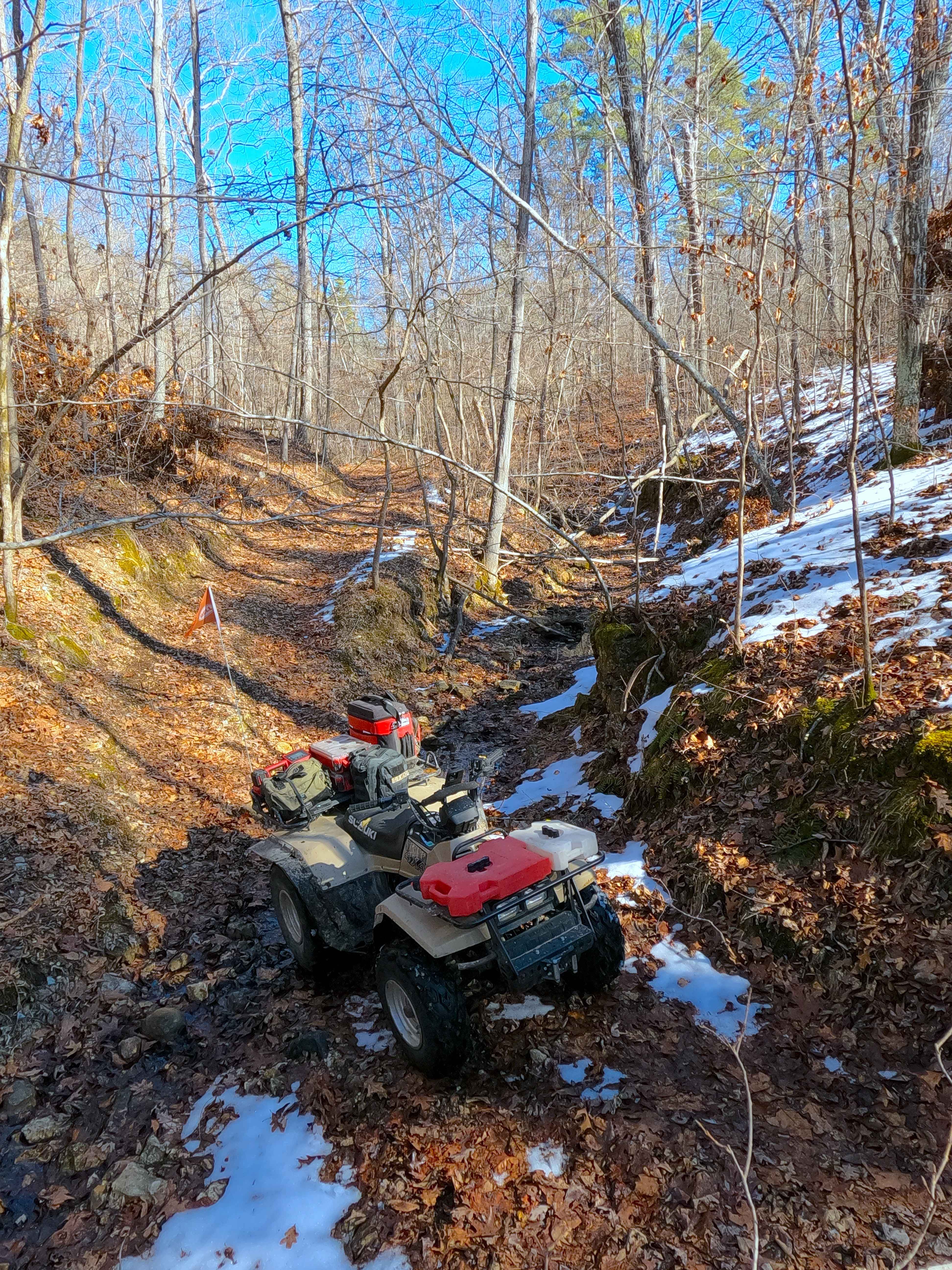
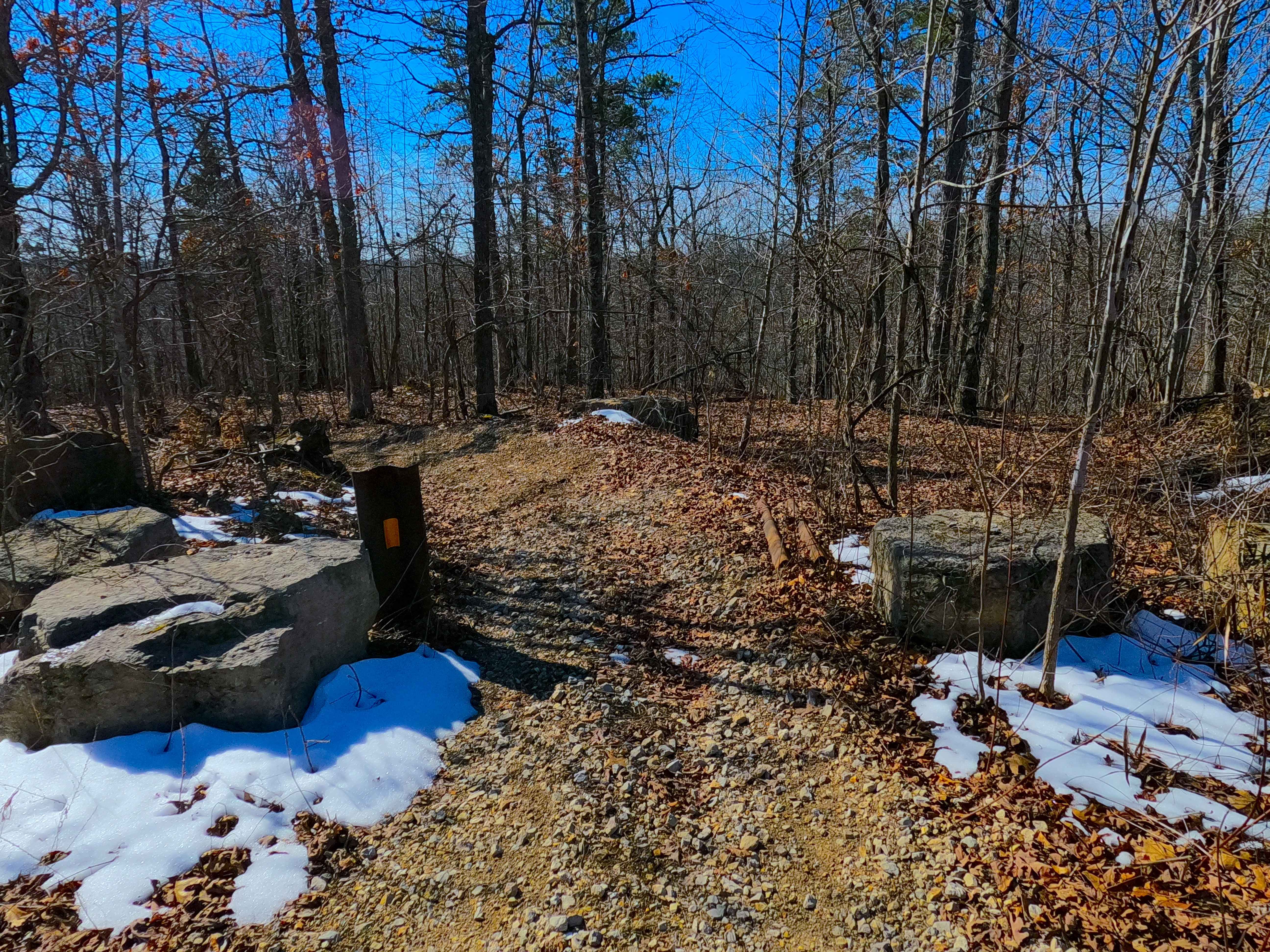
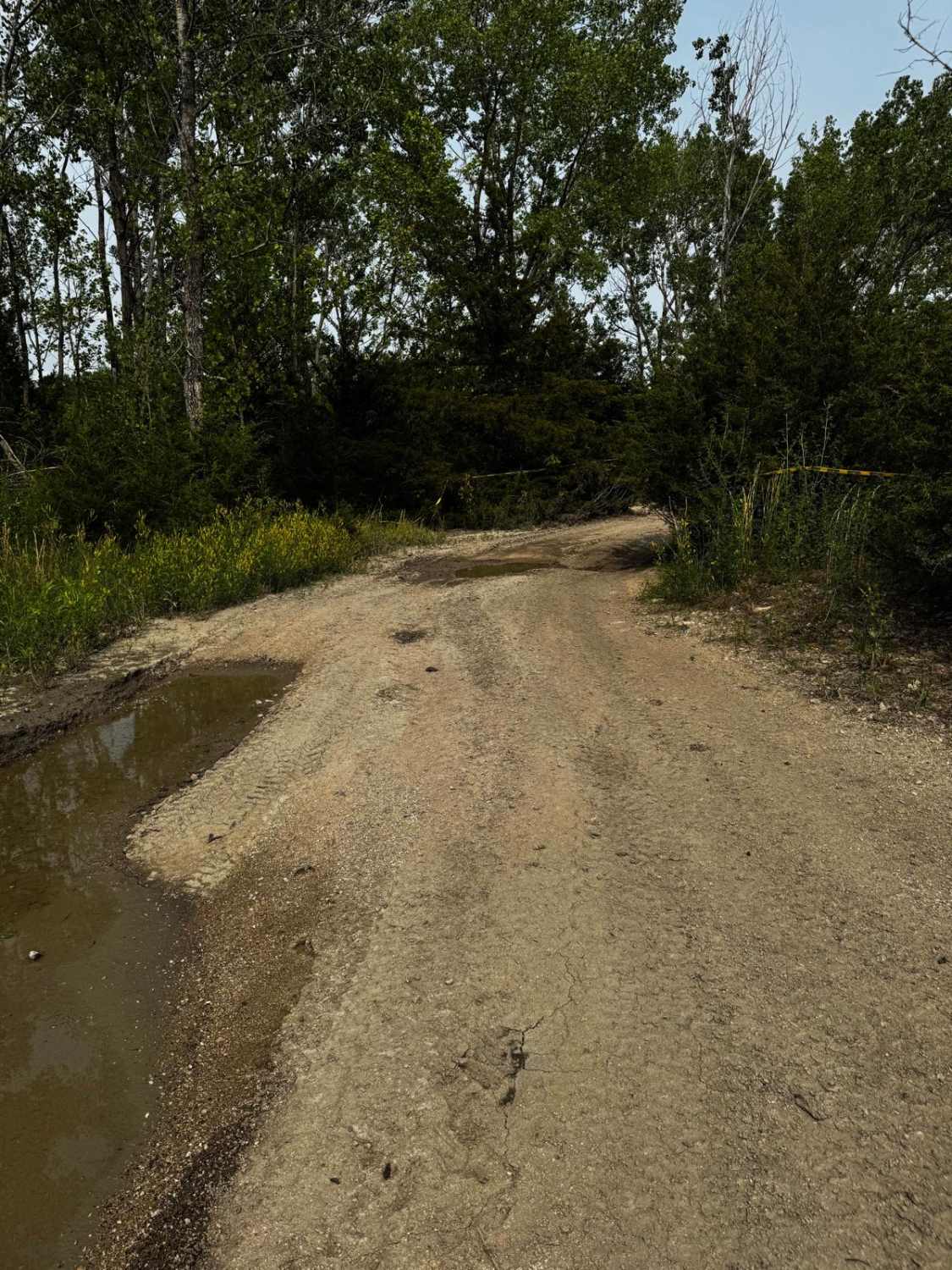
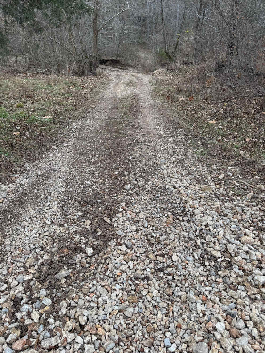
Trail Overview
Sutton Bluff ATV 11, also known as Little Gulch, with the legal/emergency ID SB 11, is a 50-inch and under restricted trail within the Sutton Bluff OHV trail system, managed by the Mark Twain National Forest Salem Unit. The SB 11 is a part of the smaller "southwest section" of Sutton Bluff OHV. Summary of the entire track staring at the north trailhead, SB 11 begins on the ridgetop from the western portion of Reynolds County Road 849, starting with some downhill switchbacks, before continuing downhill directly south into the valley bottoms, where it parallels and occasionally crosses a feeder creek of the Bee Fork, to it's southern most point, before turning hard east, climbing back uphill to the conclusion of more switchbacks to where trail ends at the southeast trailhead along the Buzzard Ridge FS 2677. The SB 11's notable core elements include a natural coarse gravel-dirt path, featuring whoops, loose cobbles, mini boulders, natural rock slabs, tree roots, with mild water crossings/water collection spots, and crosses over 2 wooden bridges. To enjoy this trail and OHV system, obtain the required Sutton Bluff permit from Mark Twain National Forest, and if intending to use an ATV on Reynolds County Roads to commute between trails, obtain the Reynolds County ATV/UTV permit as well, in accordance with Missouri state laws.
Photos of Sutton Bluff ATV 11 - SB 11
Difficulty
The SB 11 is given a base rating of 3/10, for having small 3-12 inch water crossings and water collection spots, with steep grades throughout the majority of the track, occasional small 3-12 inches fallen trees, tree roots acting as mini 3-8 inches ledges, loose 4-10 inches cobbles laying loose in the trail, 10 inches to 18 inches mini boulders and natrual slabs present on edges or mostly buried within the ground as part of the path. Difficulty can increase, from heavy use and a lack of maintenance, large 12+ inches fallen trees blocking the trail, in wet or rainy conditions, inclement weather, or from damage sustained from flash flooding, and if actively flooding, consider the trail closed.
Status Reports
Sutton Bluff ATV 11 - SB 11 can be accessed by the following ride types:
- ATV (50")
- Dirt Bike
Sutton Bluff ATV 11 - SB 11 Map
Popular Trails
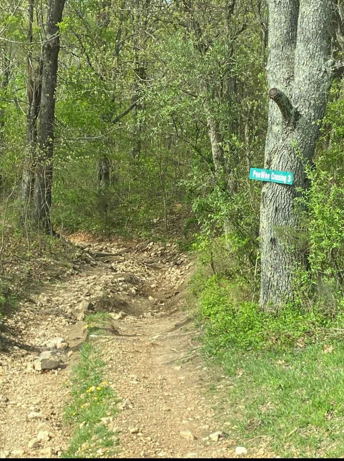
PeeWee Crossing
Bollinger Mill Road
The onX Offroad Difference
onX Offroad combines trail photos, descriptions, difficulty ratings, width restrictions, seasonality, and more in a user-friendly interface. Available on all devices, with offline access and full compatibility with CarPlay and Android Auto. Discover what you’re missing today!