Bollinger Mill Road
Total Miles
0.5
Technical Rating
Best Time
Spring, Summer, Fall, Winter
Trail Type
Full-Width Road
Accessible By
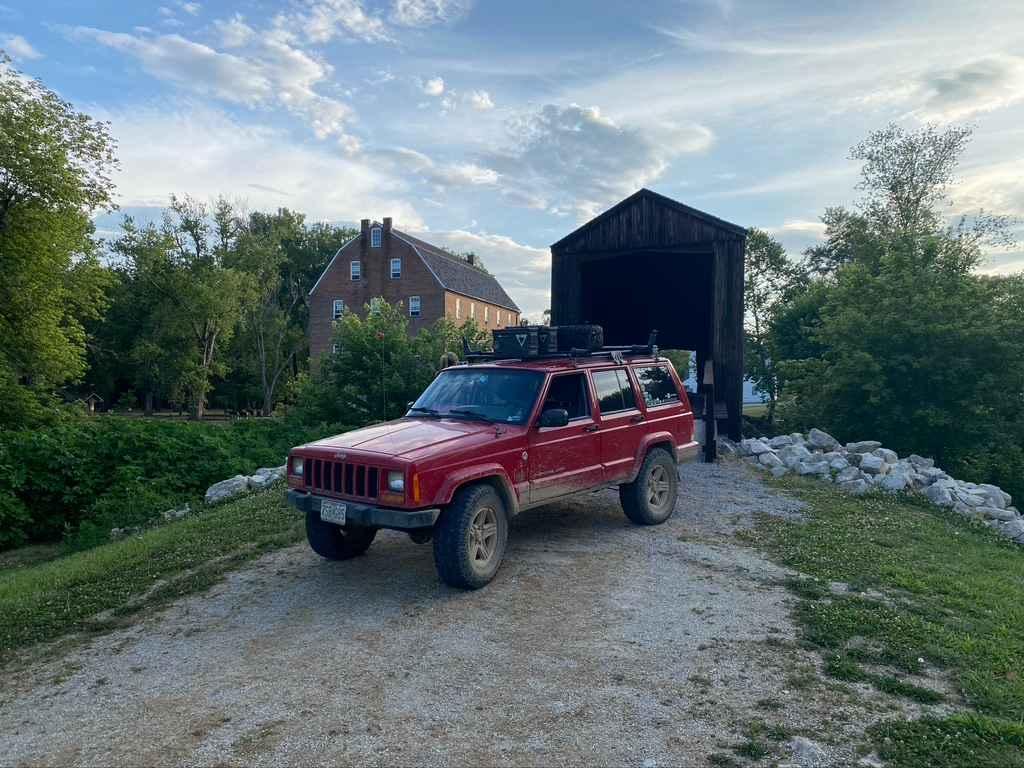
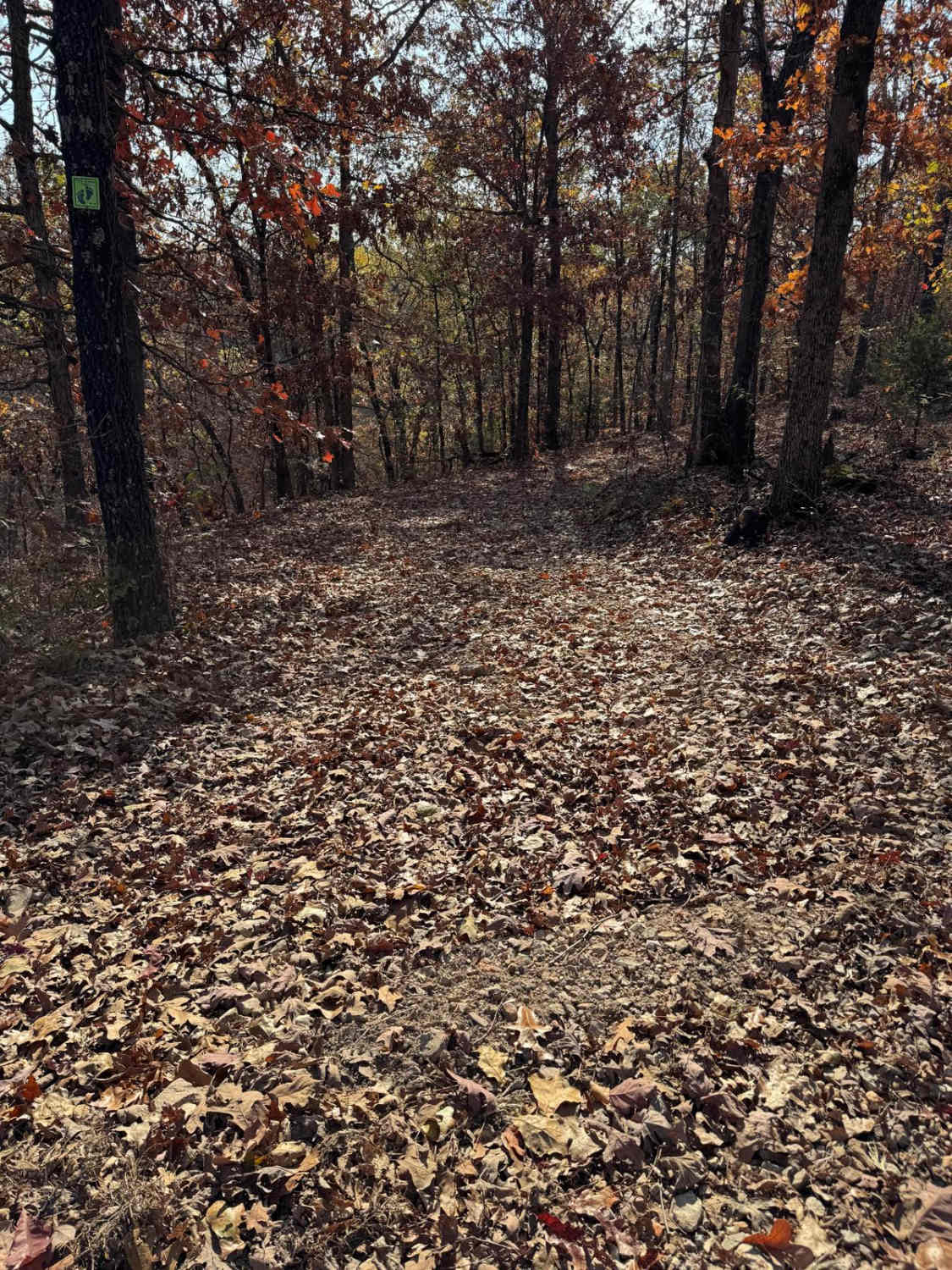
Trail Overview
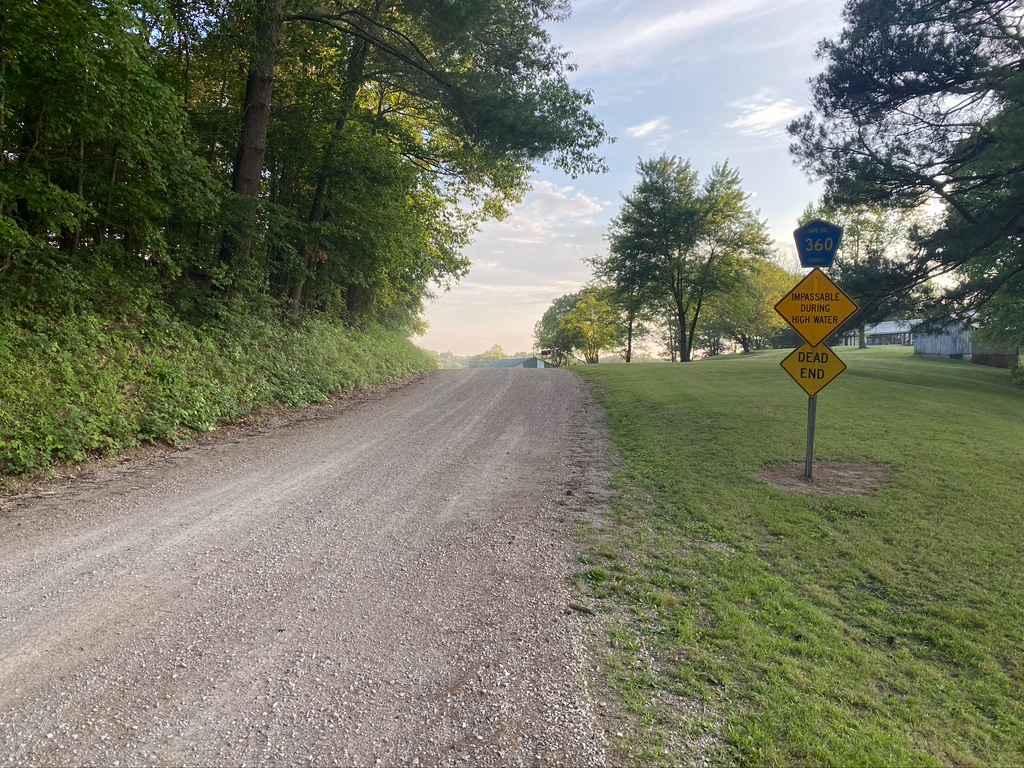
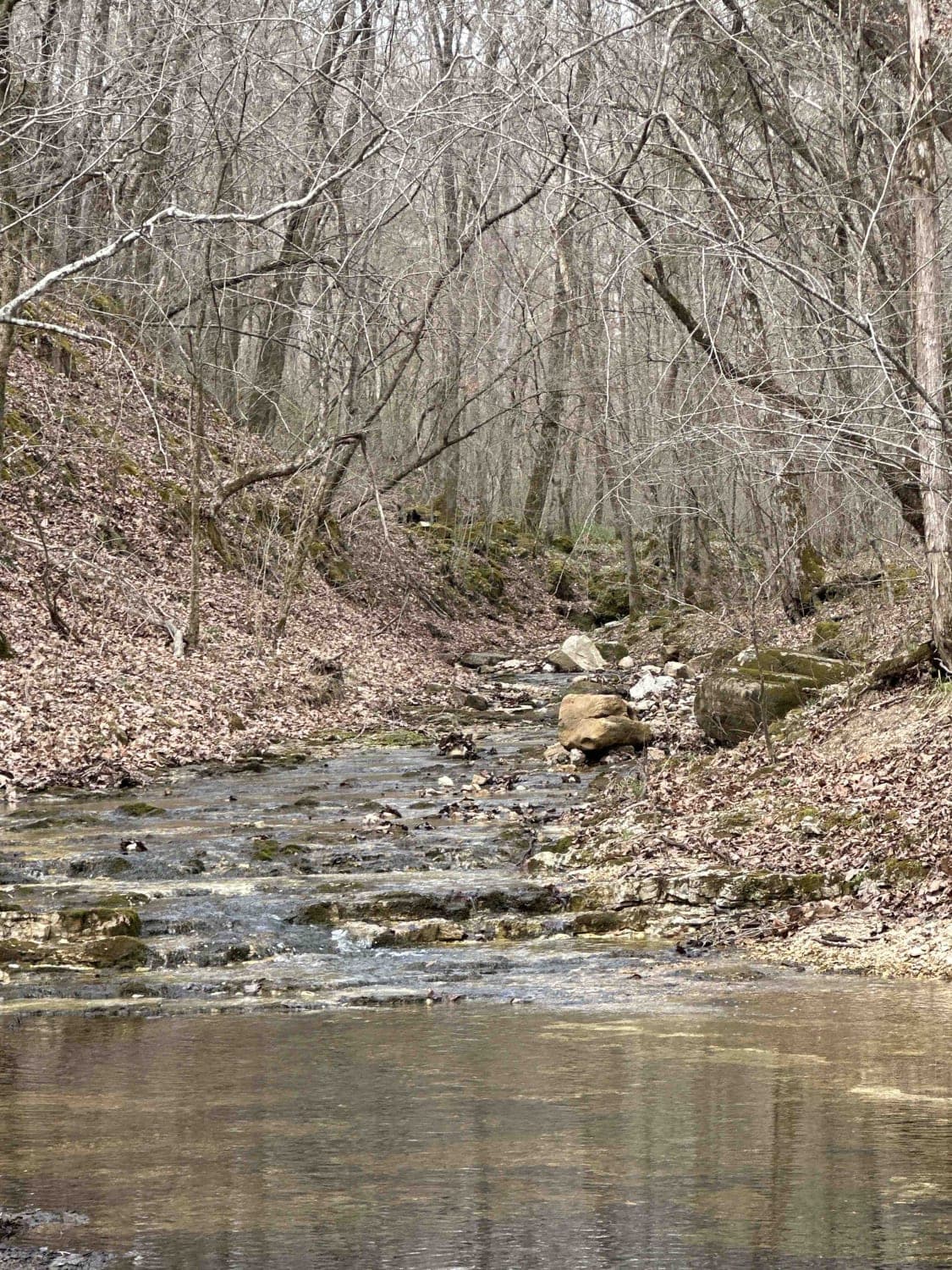
The Bollinger Mill Road, also known as Cape Girardeau County Road 360, is a gravel county road that leads to the Bollinger Mill State Historical Site. The gravel road is well maintained but comes full of views and scenery of the farmland neighboring the Mill and Upper Whitewater River, the road comes to an end at the old covered bridge that is a part of the mill. The significance of the road is rooted in history and a glimpse into the old ways of Missourian living using the many creeks and rivers to the advantage of natural power for use in industry and manufacturing before modern-day energy sources were readily available. This is a great destination to aim for while in the area while cruising backroads or hitting trails, perhaps for lunch, or would make a great meeting location to start or end a day's worth of wheeling with friends.
Photos of Bollinger Mill Road
Difficulty
The road is a well maintained 1/10 road, the most you will encounter is potholes, mounding and washboarding of the gravel. There is an impassable during high water sign, but it would take a historic level flood to make the sign valid for this road.
History
After receiving a Spanish land grant, George Frederick Bollinger led a group of families from North Carolina to this area and in 1800 began construction of a mill and dam on the Whitewater River. The mill quickly became successful and by the 1820s, a road linked Bollinger Mill with surrounding communities. Bollinger himself became well known, entered politics, and served as a senator in Missouri's first general assembly.The mill and dam, originally constructed from logs, were rebuilt in stone in 1825 and this limestone foundation and dam are still visible today. When Bollinger died in 1842, his daughter, Sarah Daugherty, and her two sons continued to operate the popular mill.During the Civil War, Union forces burned the mill to prevent the passing of flour and meal into rebel hands. Only the stone foundation survived.After the war, the family sold the mill and 640 acres to Solomon R. Burford, who rebuilt the mill of brick upon the original stone foundation. The present-day, four-story stone and brick mill was completed in 1867 and Burford's initials are still visible on the wall inside the front door. It was probably at this time that the method of powering the mill was changed from a water wheel to a more efficient, water-driven turbine.It was also at this time that the town of Burfordville came into existence. Construction of a covered bridge, begun before the war, was completed in 1868 and linked Burfordville to the main road. Made from nearby yellow poplar trees, the bridge was built by Joseph Lansmon, a well-known builder from Cape Girardeau. He used a Howe truss design, wherein diagonal wooden compression members are used with vertical iron rods in tension to form trusses. Historical records show that there was a toll house on the east end of the 140-foot-long bridge.Several vintage old cars parked in front of the mill from 1897 to 1953, the mill was owned by the Cape County Milling Co. After the milling company went out of business in 1953, the mill was sold to the Vandivort family, relatives of George F. Bollinger. The Vandivorts, interested in seeing the mill preserved, donated it to the Cape Girardeau County Historical Society in 1961, who in turn donated it to the state in 1967. That same year, the Missouri legislature authorized the state park system to maintain all four of Missouri's remaining covered bridges. (Sourced from MoStateParks.com/page/54947/general-information) In 2022-2023 the mill was receiving work done to the grounds, including putting a new roof and gutters on the mill, as well as shoring up the foundation of the stone on the bottom half of the building. The site has been temporarily closed through most of this time, but has now partially reopened, but is hopeful to be completely reopened by the end of 2023.
Status Reports
Bollinger Mill Road can be accessed by the following ride types:
- High-Clearance 4x4
- SUV
Bollinger Mill Road Map
Popular Trails

Martin Road - WCR 648

Bad Decisions
Bald Road to Western Road
The onX Offroad Difference
onX Offroad combines trail photos, descriptions, difficulty ratings, width restrictions, seasonality, and more in a user-friendly interface. Available on all devices, with offline access and full compatibility with CarPlay and Android Auto. Discover what you’re missing today!