General Watkins Cemetery Road
Total Miles
0.2
Technical Rating
Best Time
Spring, Summer, Fall, Winter
Trail Type
Full-Width Road
Accessible By
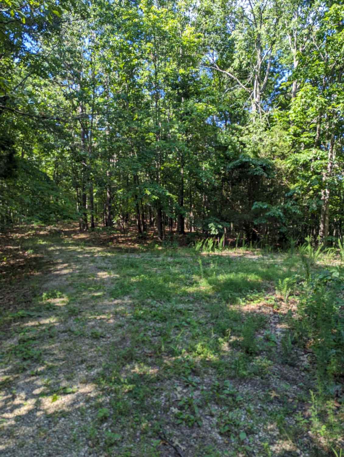
Trail Overview
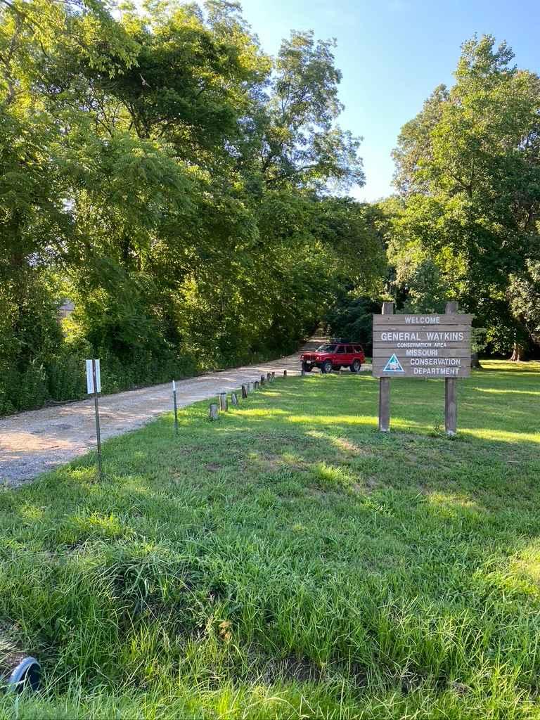
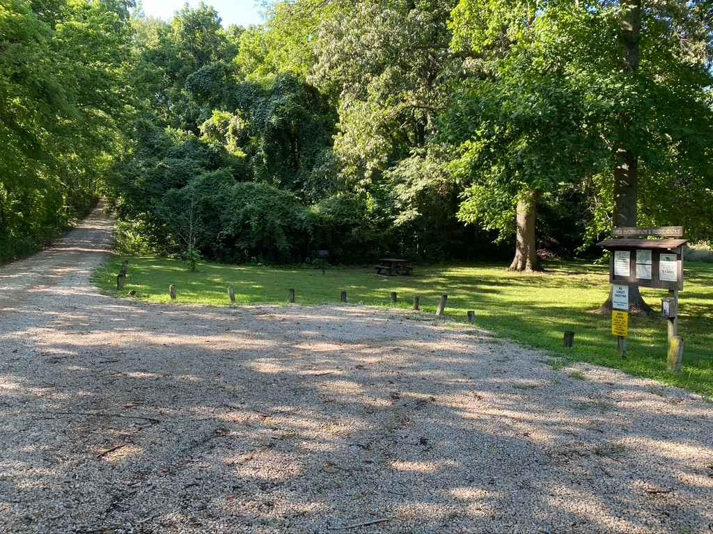
The General Watkins Cemetery Road is the farthest west entrance into the General Watkins Conservation Area off US Route 61. It is a gravel road that leads up a hillside to the ridge top where General Watkins' resting area is located, as well as a large parking area and the point where the 1.8-mile hiking trail called the Cemetery Ridge Trail starts and leads back to the General Watkins Park Road. This is a great spot to meet people, have lunch, stretch your legs on a walk, or have a little historical lesson. The entrance point off US 61 has a few picnic benches next the the parking cut-out.
Photos of General Watkins Cemetery Road
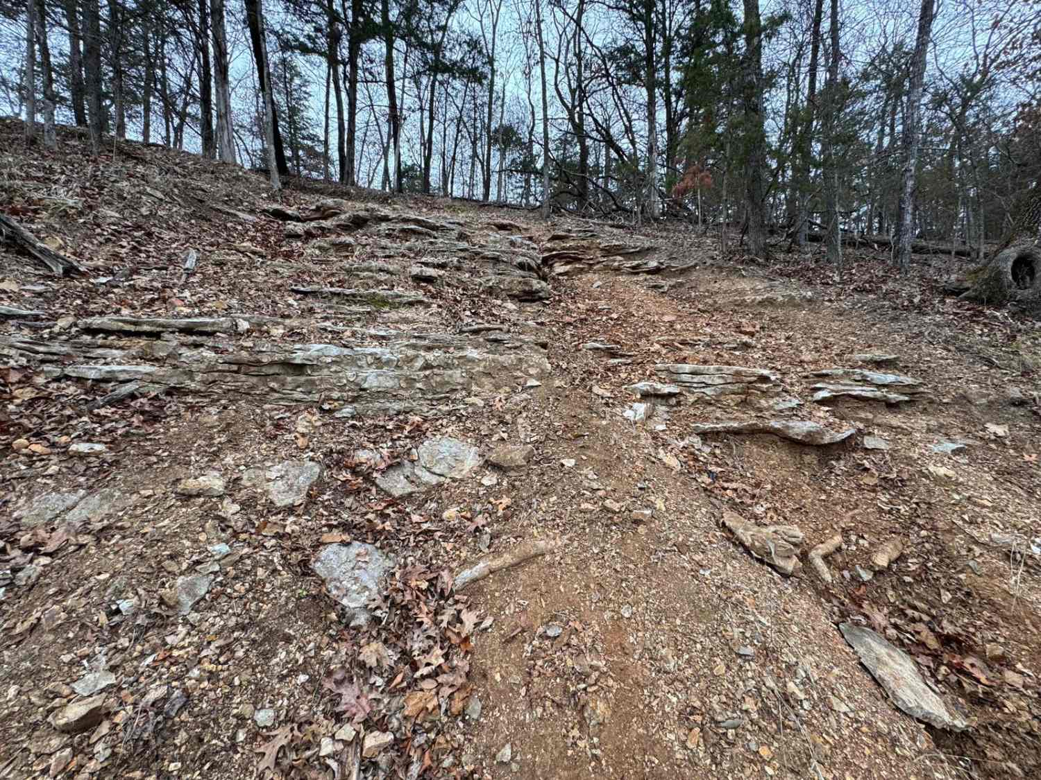
Difficulty
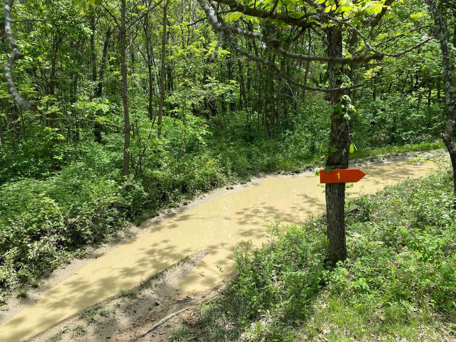
The difficulty of the road is minimum; the most difficult aspects are the general gravel road complications such as potholes, washboarding, and mounding. This trail is given a 1/10 for its ease of access and simplicity.
History
The conservation area is named after General Nathaniel W. Watkins, a brigadier general in the Missouri State Guard, the first Confederate unit in Missouri. He later served as vice president of the Missouri Constitutional Convention in 1875. He is now buried on the land that makes up the conservation area in a cemetery marked as "Watkins Cemetery."
Status Reports
General Watkins Cemetery Road can be accessed by the following ride types:
- High-Clearance 4x4
- SUV
General Watkins Cemetery Road Map
Popular Trails
Turkey Trot - FS 2447
East Kelly Ridge
The onX Offroad Difference
onX Offroad combines trail photos, descriptions, difficulty ratings, width restrictions, seasonality, and more in a user-friendly interface. Available on all devices, with offline access and full compatibility with CarPlay and Android Auto. Discover what you’re missing today!