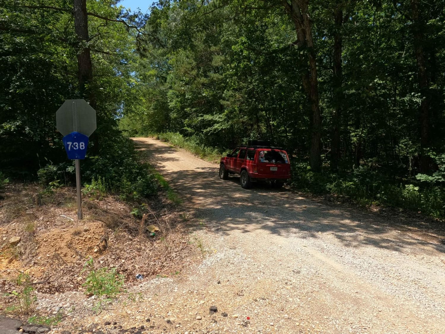
Bo-Co Road 738
Total Miles
3.7
Technical Rating
Best Time
Summer, Spring, Fall, Winter
Trail Type
Full-Width Road
Accessible By
Trail Overview
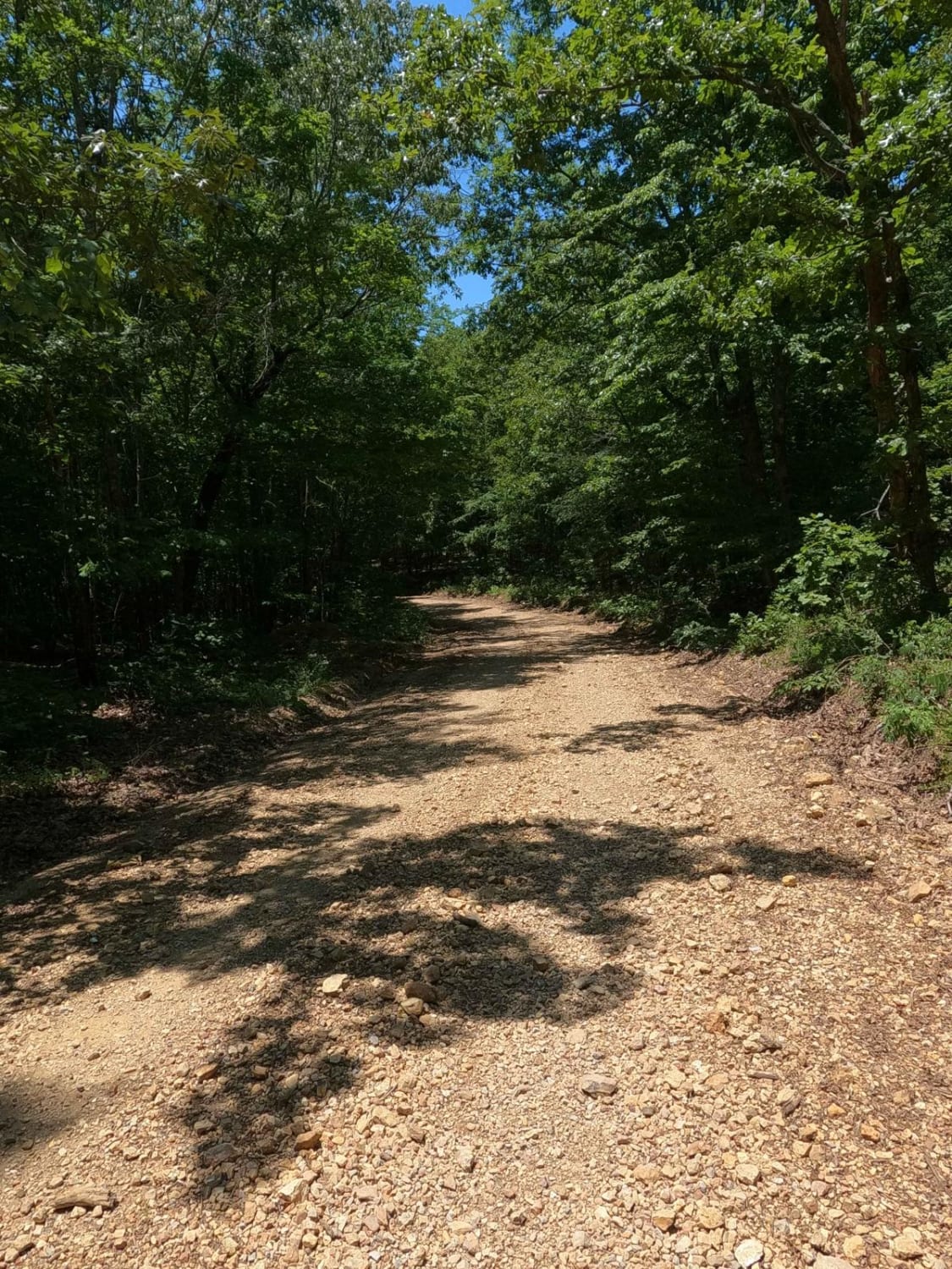
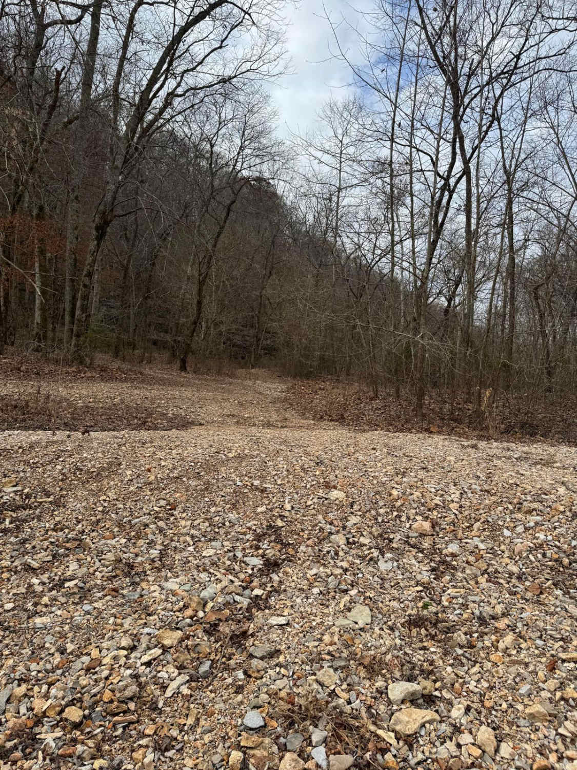
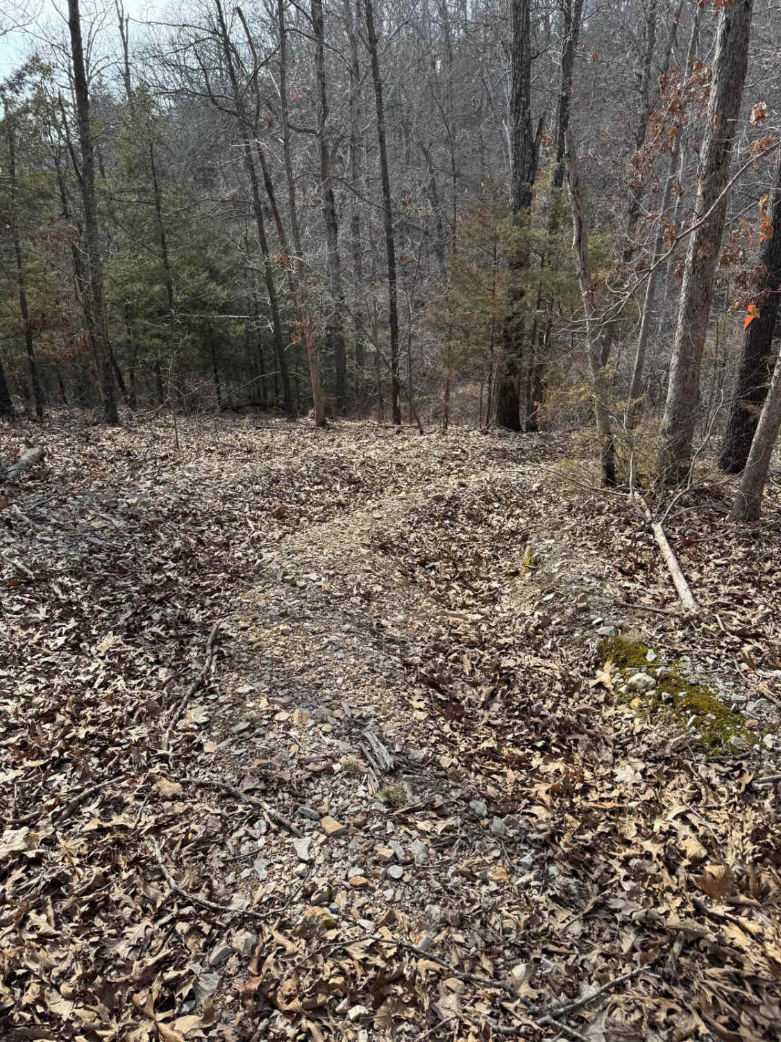
Bollinger County Road 738 is a gravel road leading through part of the western side of the Castor River Conservation Area, where you can find several campsites and walking trails to explore. The 738 features the typical Bollinger County coarse creek bottom gravel and has natural rock in spots popping out of the road. Ultimately the road leads to the bottom down a medium grade where it circles around the edge of hillsides that the Conservation Area rests on, before climbing back up another medium grade into hills where it meets Bo-Co Road 736. It's a great example of simple backroad riding to use when desiring an easy outing or getaway when camping in the area at one of the many dispersed, RV, and recreational camping sites.
Photos of Bo-Co Road 738
Difficulty
The difficulty of Bo-Co Road 738 is minimal, but it has a few steep grades, and in typical Bollinger County fashion, the road will show signs of heavy wear, including washboarding, rutting, potholes, and mounding. The rock on the road is also a little more coarse than average, but it contains Missouri River/Creek gravel, giving an orange/yellow glow to the road. It is also common to see natural rocks popping out on the surface as well. There is one section in the center where signs of water collection happen in flash flooding. Be wary of this crossing during or after heavy rain.
History
The Blue Pond is an interesting piece of Missouri History, showing the distance that the 1811-1812 New Madrid Earthquake affected 70 miles northwest of the epicenter. Blue Pond is the deepest natural pond in Missouri at more than 65 feet deep. It's believed to have been formed from a cavern collapse during the New Madrid earthquake in 1811. (Sourced from https://mdc.mo.gov/discover-nature/places/castor-river-conservation-area.)
Status Reports
Bo-Co Road 738 can be accessed by the following ride types:
- High-Clearance 4x4
- SUV
- SxS (60")
Bo-Co Road 738 Map
Popular Trails

Slip and Slide 210
Yellow 432

Yellow 154
The onX Offroad Difference
onX Offroad combines trail photos, descriptions, difficulty ratings, width restrictions, seasonality, and more in a user-friendly interface. Available on all devices, with offline access and full compatibility with CarPlay and Android Auto. Discover what you’re missing today!