FS 1730 to Temporal Road
Total Miles
6.5
Technical Rating
Best Time
Spring, Summer, Fall, Winter
Trail Type
Full-Width Road
Accessible By
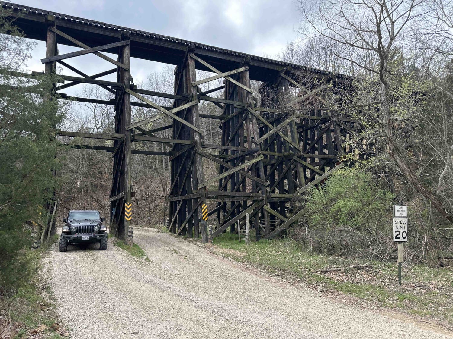
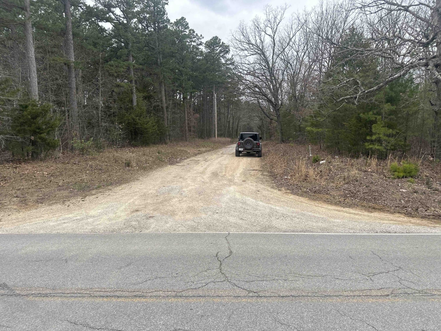
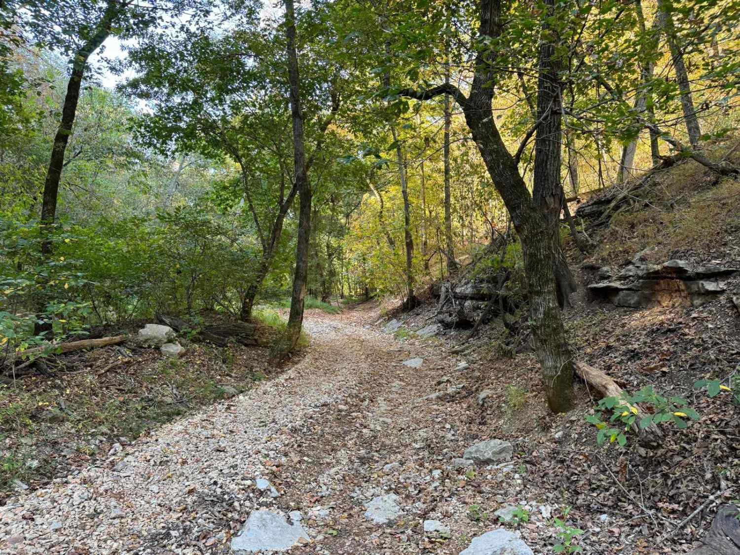
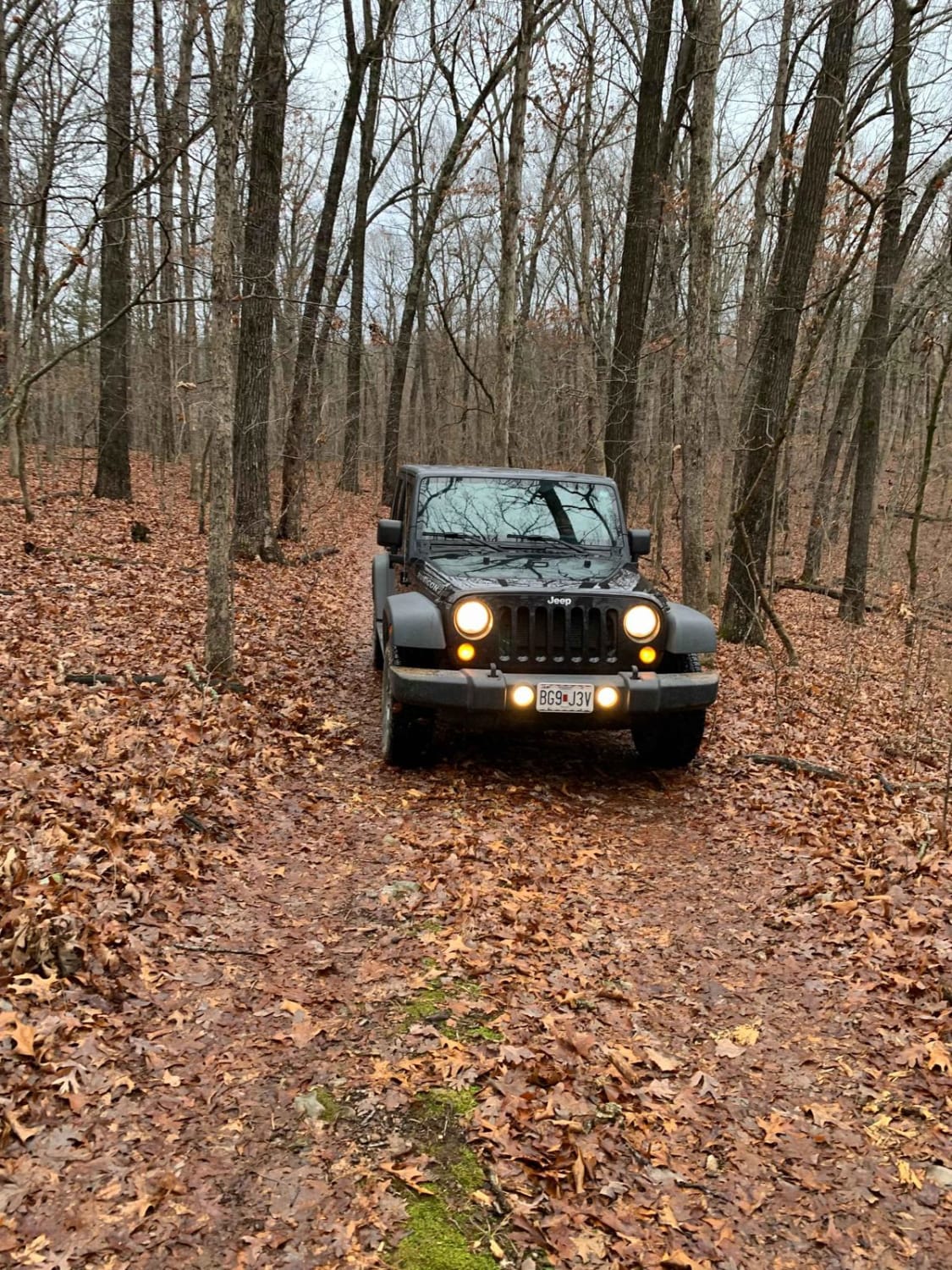
Trail Overview
This is part 5 of a trip around Fort Leonard Wood, Missouri! This leg is the best; there are some neat things to see, places to take pictures, and a little history!
Photos of FS 1730 to Temporal Road
Difficulty
This is a pretty easy road, but portions of it are Forest Service roads and they aren't always maintained after storms. You could encounter some trees across the road.
History
Uranus used to be a strip club, but now it's a Fudge Factory.
Status Reports
FS 1730 to Temporal Road can be accessed by the following ride types:
- High-Clearance 4x4
- SUV
FS 1730 to Temporal Road Map
Popular Trails


Pigeon Roost Road - WCR 603
The onX Offroad Difference
onX Offroad combines trail photos, descriptions, difficulty ratings, width restrictions, seasonality, and more in a user-friendly interface. Available on all devices, with offline access and full compatibility with CarPlay and Android Auto. Discover what you’re missing today!