River Ridge Road
Total Miles
4.1
Technical Rating
Best Time
Spring, Summer, Fall, Winter
Trail Type
Full-Width Road
Accessible By
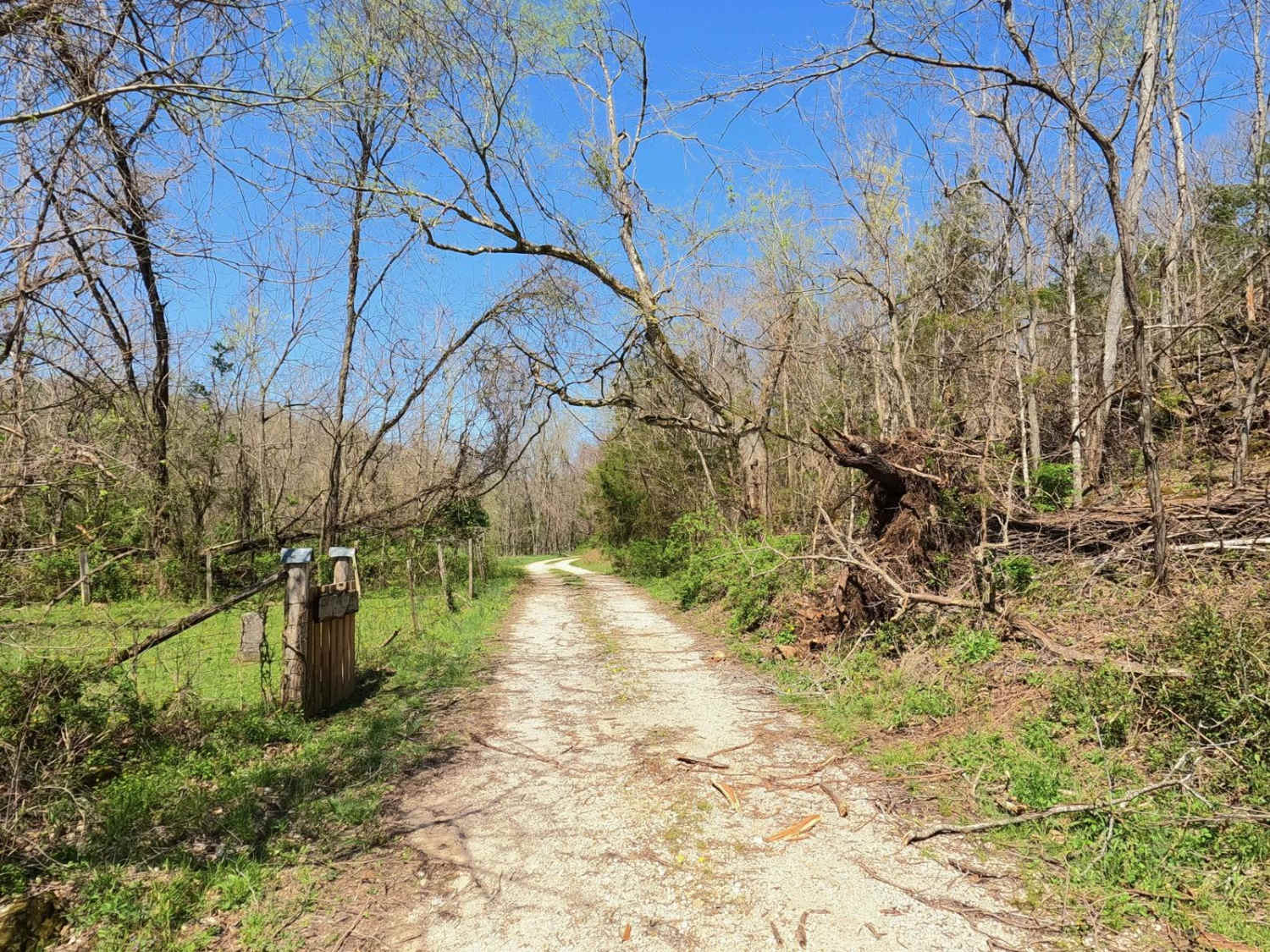
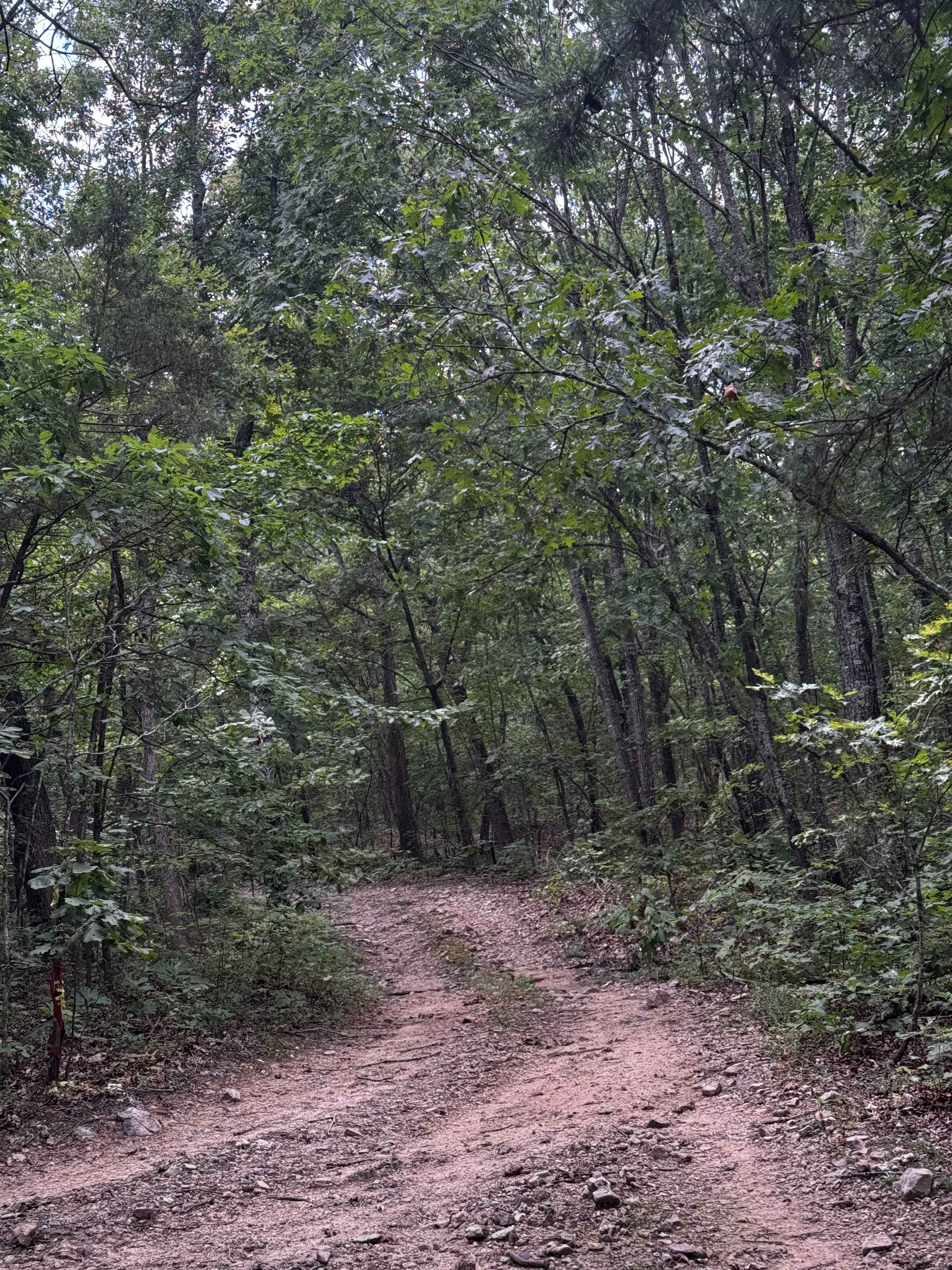
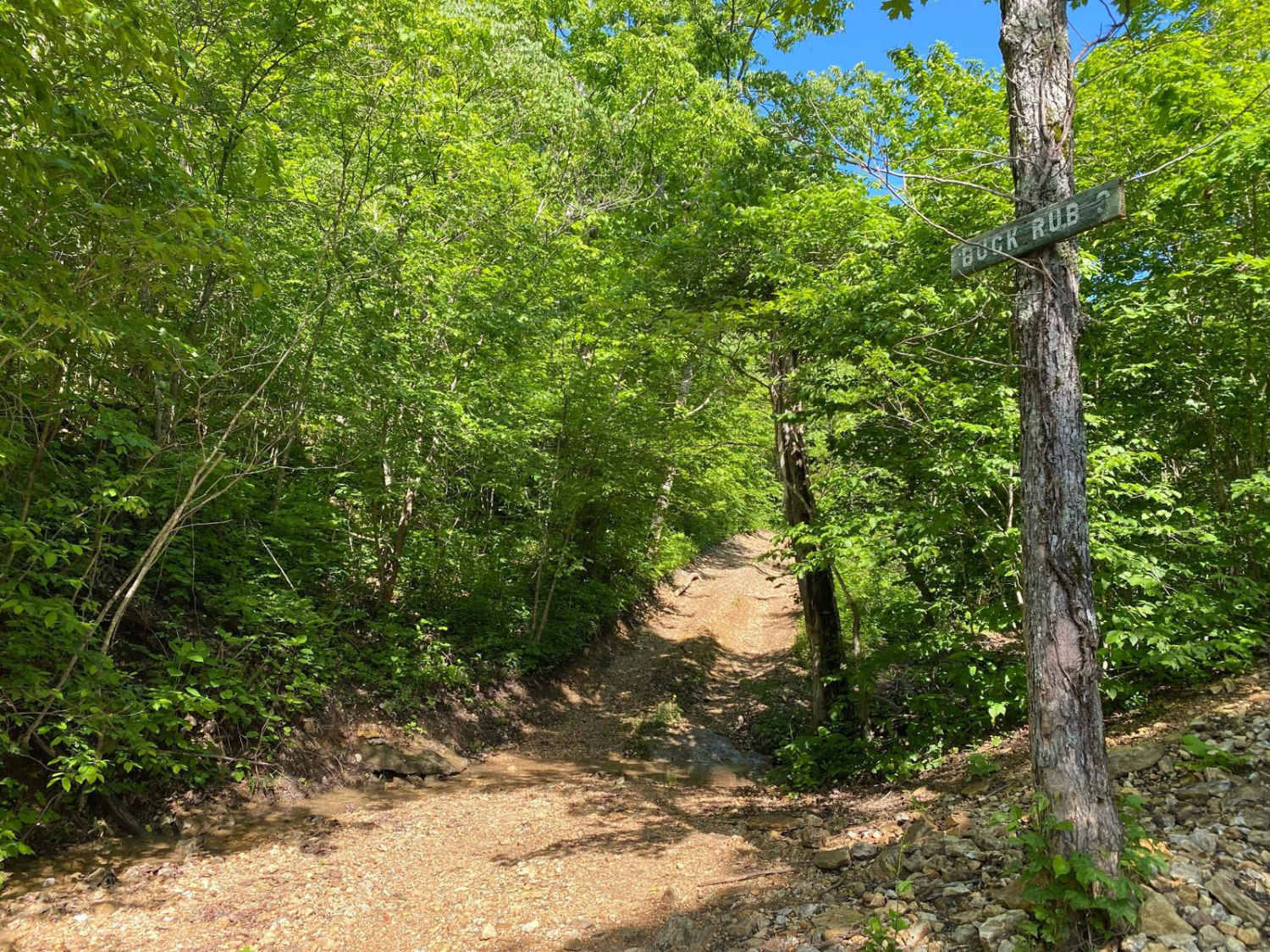
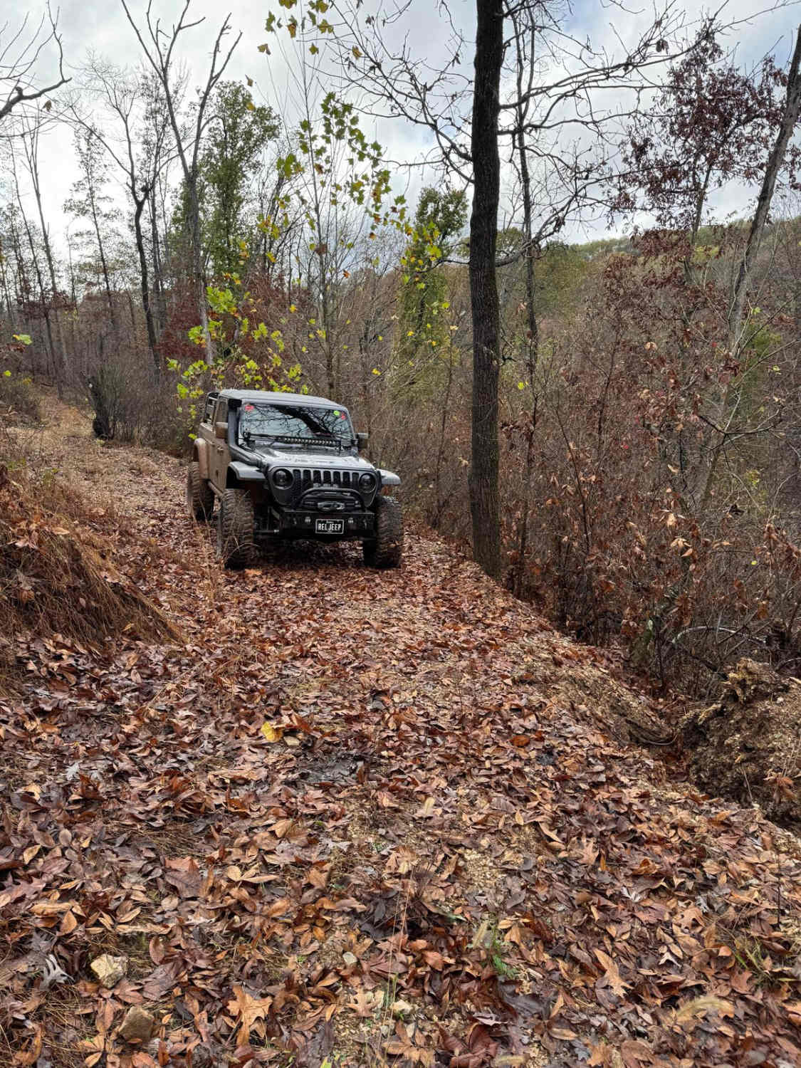
Trail Overview
River Ridge Road is a natural gravel-dirt terrain and creek bottom road within Carter County, Missouri, over Ozark National Scenic Riverways and the Missouri Department of Conservation's Rocky Creek Conservation Area Land. The River Ridge features hit the mark of a true Missouri Ozark road, featuring the northern placed ridges high overlooking the large Current River to the east, to the southern valley bottoms section that parallels the Chilton Creek, as that creek makes its final paces to converge into the Current. Terrain has the spread, water crossings throughout the bottoms, rock from loose sand, up to large loose cobbles, small natural rock steps in the pathway, mild to moderate active erosion on the moderate graded hills, water collection holes on the ridges, surface mud (potentially deeper) and a natural gravel dirt mix-base road connecting it all together. Noteworthy spots along the way, at the southern endpoint, there is the Chilton Creek Cemetery found at 37.06329, -91.04951, the Watermelon Shoal camp at 37.06864, -91.05837, the powerline valley centered on 37.09185, -91.07574, and the northern endpoint being the Beal Triangle intersection at 37.10093, -91.08839. Though to some this may come before the Rollercoaster, it isn't the waiting line, rather, it is the big drop or the water splash section you didn't expect. Come and responsibly enjoy the thrills of the River Ridge Road.
Photos of River Ridge Road

Difficulty
The River Ridge Road is given a 4/10 base rating for the water levels found along Chilton Creek. Due to the nature of the creek, this can range from 6" to 18" from side to side, with an average depth of 12 inches paired with loose, ever-changing creek bed gravel below, with unpacked mounds to climb along the way. This is backed up by the steeply graded hills in the area, with moderate active erosion etching up to 12-18" into the path, exposing loose coarse gravel and cobble-sized rocks (4-1 inches), and the water collection holes on the ridge tops being right at 8-12 inches depth when consistently topped off by water, followed by surface mud in places that dirt collects in lower laying spots. The trail also features small exposed natural rock slabs poking out at the surface, that form little 3-12 inches steps or increases (potential future ledges), with uneven variations side to side. The majority of the road is made up of a consistent mix of natural dirt and coarse gravel. Difficulty would increase in rainy or wet conditions, adding depth to the creek bottom water and dropping traction on the steep grades, but on the flipside could decrease in dry seasons when the creek drops in depth and all the hills are dry, or if the road were to be mended, by grading the surface at the erosion spots and the creek bottoms.
History
When looking at the 1928 topo map of Cardareva, Missouri shows that the original River Ridge road, was less a ridge road, and much more a Creek Bottom road, following Chilton Creek for over 3/4 of the way to the location of the current day Beal Triangle intersection (37.10093, -91.08839), this showed as the only road in the area up until the 1986 Spring Valley, MO topo showing Mid Ridge Road for the first time, and two interconnection roads between Mid Ridge and the old Chilton Creek Road, these remained unchanged until the 2015 Van Buren Topo drops the two interconnect roads, and Chilton Creek Road. With only the Carter County Map showing the River Ridge Road as the new road in place of the old Chilton Creek Road. More interesting history is in the name of the area on these historic topo maps, in the 1965 and 1986 North Van Buren topos call the area Beal State Forest, then in the Van Buren 1997 topo called the Beal State Conservation Area, and lastly being removed from the map entirely by the 2011 edition of Van Buren, Missouri, and now being part of the larger Rocky Creek Conservation area.
River Ridge Road can be accessed by the following ride types:
- High-Clearance 4x4
- SUV
River Ridge Road Map
Popular Trails
Happy Hollow
Taum Sauk Mountain Road
The onX Offroad Difference
onX Offroad combines trail photos, descriptions, difficulty ratings, width restrictions, seasonality, and more in a user-friendly interface. Available on all devices, with offline access and full compatibility with CarPlay and Android Auto. Discover what you’re missing today!