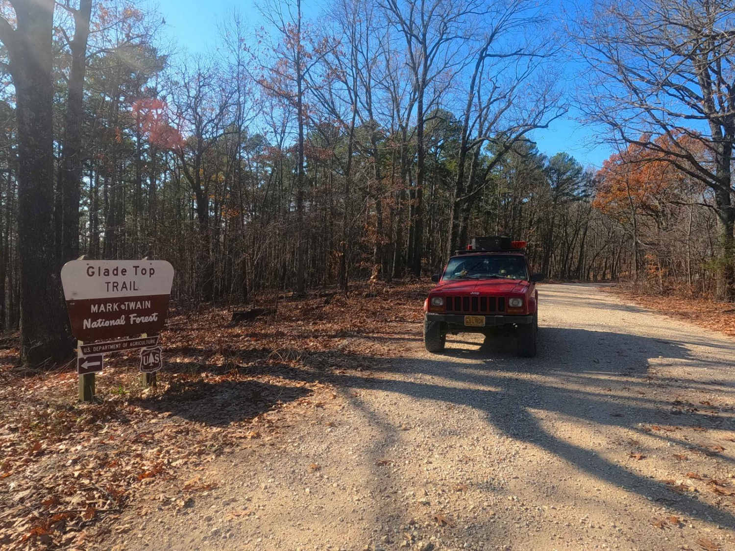
Pond Fork - FS 145
Total Miles
2.4
Technical Rating
Best Time
Spring, Summer, Fall, Winter
Trail Type
Full-Width Road
Accessible By
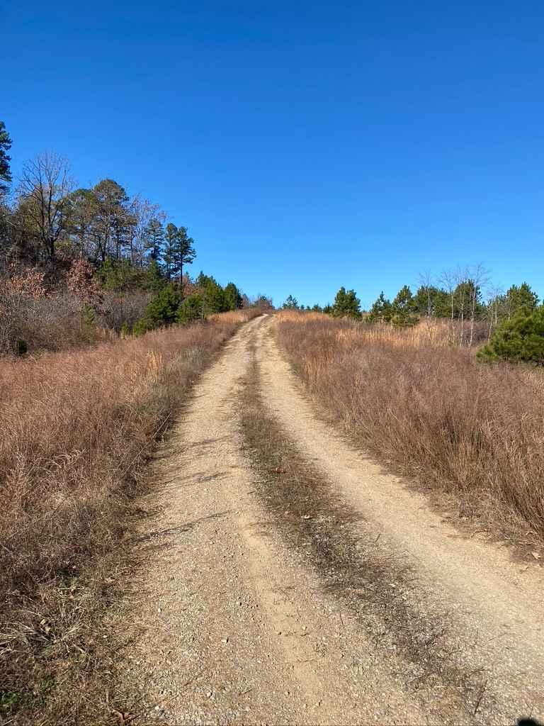
Trail Overview
Pond Fork FS 145 is a gravel forest service road within the Mark Twain National Forest Ava Unit, a primary road directly off the Glade Top National Scenic Byway. The Pond Fork rests on the north portion of the Glade Top area, connecting the village/settlement of McClurg on the western end to the intersection with the FS 147 on the eastern end. The track consists of climbing from the valley McClurg and a feeder creek to the Caney Creek rests in, climbing 400 feet and transitioning into the ridge top portion of the track where it meets the intersection with the Glade Top North FS 147. Along the way, several scenic views of the balds and glade hills and vast views into the distance, including the McClurg Glade viewpoint, featuring a little parking area and signage at 36.78156, -92.75191. Pond Fork is beautiful but is logistically relevant to traversing Glade Top, a necessity to get point to point or to access side trails.
Photos of Pond Fork - FS 145

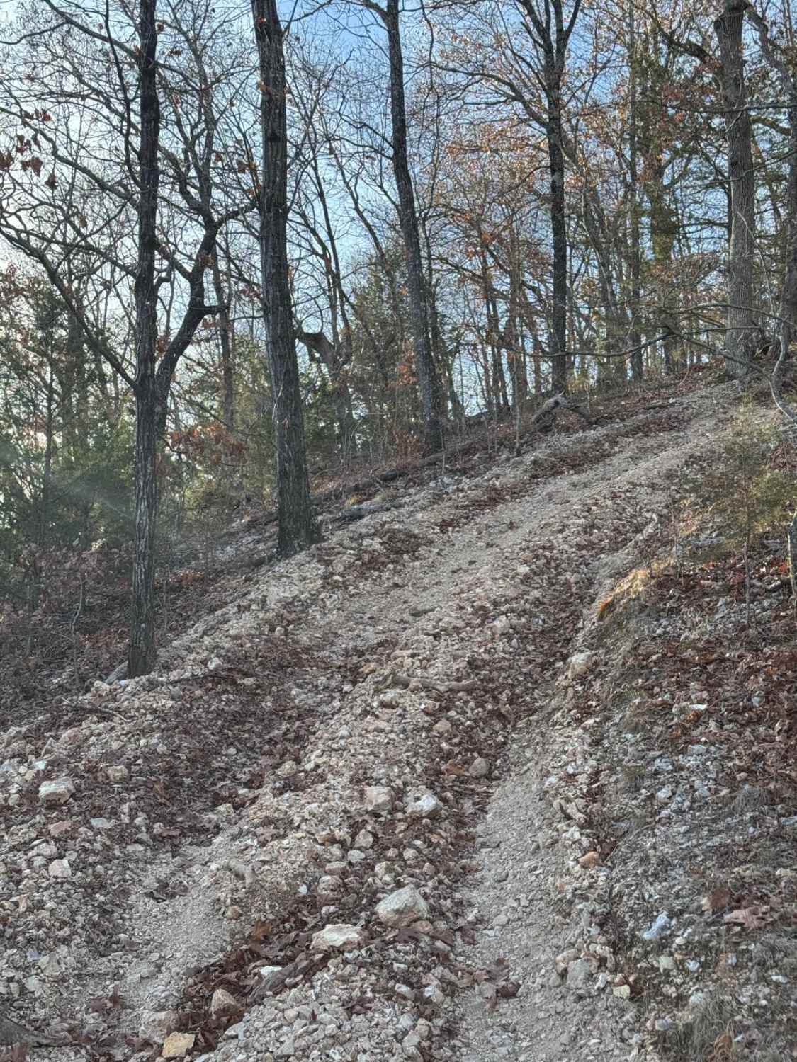
Difficulty
Pond Fork features a mostly gentle maintained gravel road throughout but is given a base rating of 2/10 for moderate grades climbing uphill when going eastbound, with mild active erosion found on the far western portion, in 11/2024 it was observed that some rock cobbles were stacked in the 6-12" rut in aid of 2WD vehicles crossing. This erosion could be mended in maintenance, resulting in a change back to a 1/10 rating, outside of this expect washboarding, mounding, and potholes in the gravel.
History
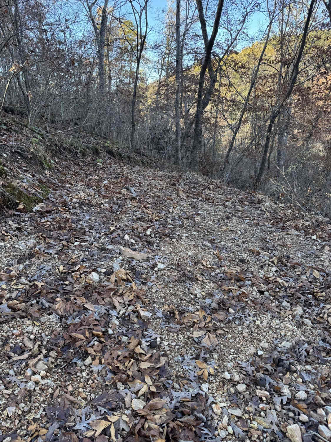
On October 28th, 2024, wildfires were reported in the Fond Pork/North Glade Top area, with the quick action of the Mark Twain firefighters the fire was 100% contained 3 days later on the 31st, roughly affecting 1611 acres of land, and is now noted as the Sugar Fire of 2024. Pond Fork FS 145 is within the lower southern land affected by this fire, and featured sections on both sides of the road that had barren hills and charred remains of trees. The Glade Top Trail is a Civilian Conservation Corps [CCC] built road that was designated a Scenic Byway in 1989. Portions of Forest Roads 147, 149, and 150 comprise the trail. The trail follows a series of ridgetops through the central glade area of the White River Hills. The Glade Top Trail is little changed from the original road constructed by the Civilian Conservation Corps in the late 1930s. For twenty-three miles, the two-lane, all-weather gravel road follows narrow ridge tops rising approximately 500 feet above the surrounding rolling countryside and overlooks and passes through many limestone/dolomite glades interspersed with open and closed woodlands. Sourced from the USDA website.
Pond Fork - FS 145 can be accessed by the following ride types:
- High-Clearance 4x4
- SUV
Pond Fork - FS 145 Map
Popular Trails
Yellow 261
Heinke Hills
Yellow 144
Bee Ridge FSR 3844/3844C
The onX Offroad Difference
onX Offroad combines trail photos, descriptions, difficulty ratings, width restrictions, seasonality, and more in a user-friendly interface. Available on all devices, with offline access and full compatibility with CarPlay and Android Auto. Discover what you’re missing today!