Bee Ridge FSR 3844/3844C
Total Miles
2.5
Technical Rating
Best Time
Spring, Fall
Trail Type
Full-Width Road
Accessible By
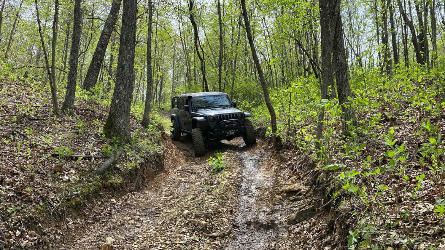
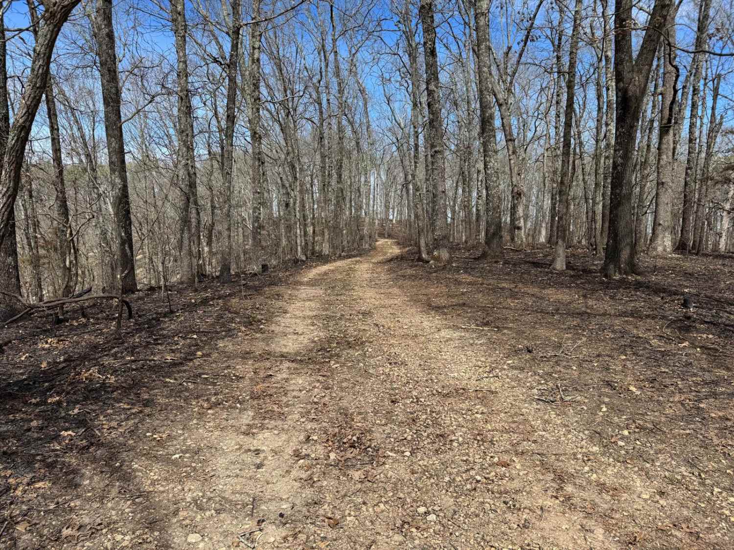
Trail Overview
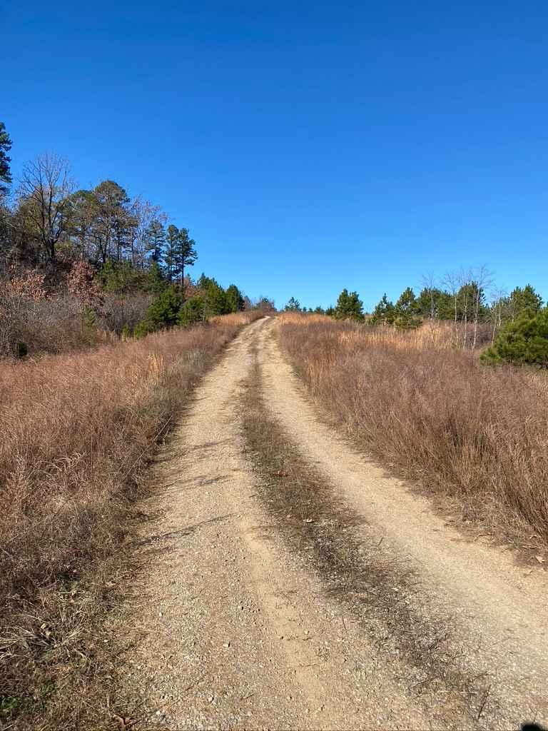
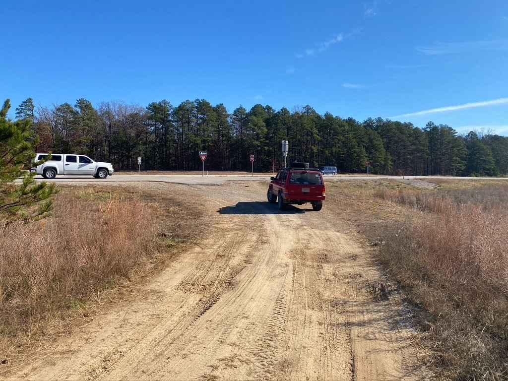
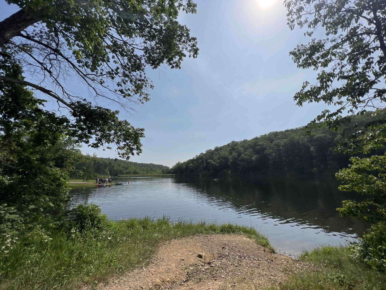
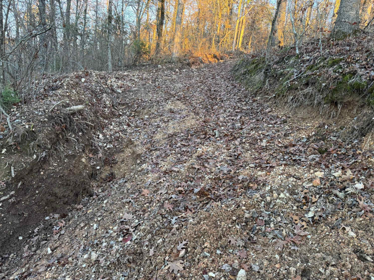
Bee Ridge FSR 3844 & 3844C are two forestry roads that seamlessly connect to form a fun little trek through Mark Twain National Forest. The 3844 part of the trail is a well wore in gravel road with dirt patches. It starts right off the edge of US-67 and shortly after takes you up a small rutted incline where it enters the woods, this leads through a couple of rolling hills with water collection and mild off-camber sections, this leads right into the 3844C which turns more natural and the woods tighten, ultimately taking you down a medium grade into a hollow where a natural pond sits in the hillside.
Photos of Bee Ridge FSR 3844/3844C
Difficulty
Just a mild ride with a few medium obstacles along the way, including medium grades with loose gravel and dirt, and a few water collection spots.
Status Reports
Bee Ridge FSR 3844/3844C can be accessed by the following ride types:
- High-Clearance 4x4
- SUV
Bee Ridge FSR 3844/3844C Map
Popular Trails
Leo Drey Forest 2221
McAdoo Spur A - FSR 150
The onX Offroad Difference
onX Offroad combines trail photos, descriptions, difficulty ratings, width restrictions, seasonality, and more in a user-friendly interface. Available on all devices, with offline access and full compatibility with CarPlay and Android Auto. Discover what you’re missing today!