Pleasant Grove Church - FS 2524
Total Miles
0.5
Technical Rating
Best Time
Spring, Summer, Fall, Winter
Trail Type
Full-Width Road
Accessible By
Trail Overview
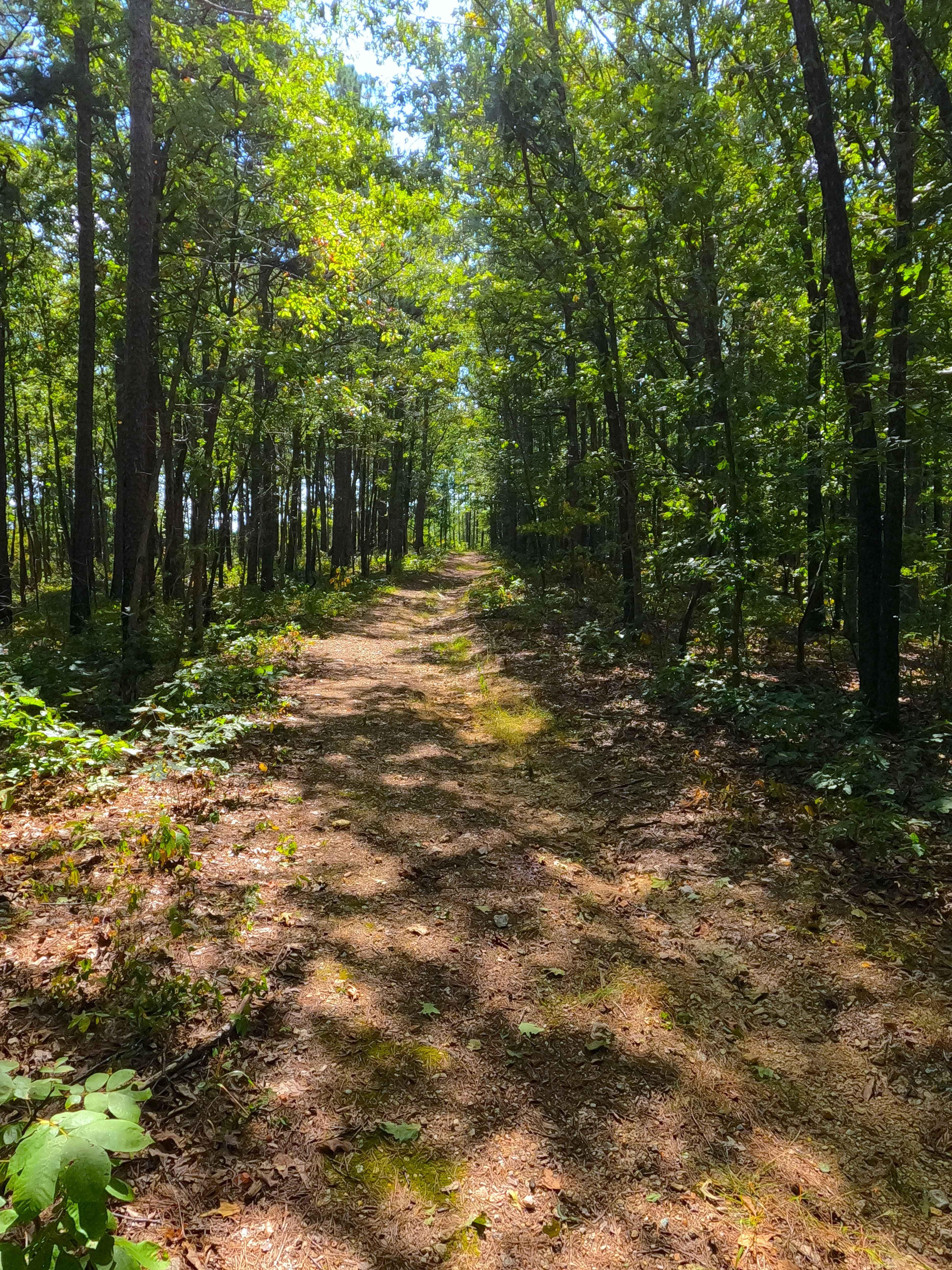
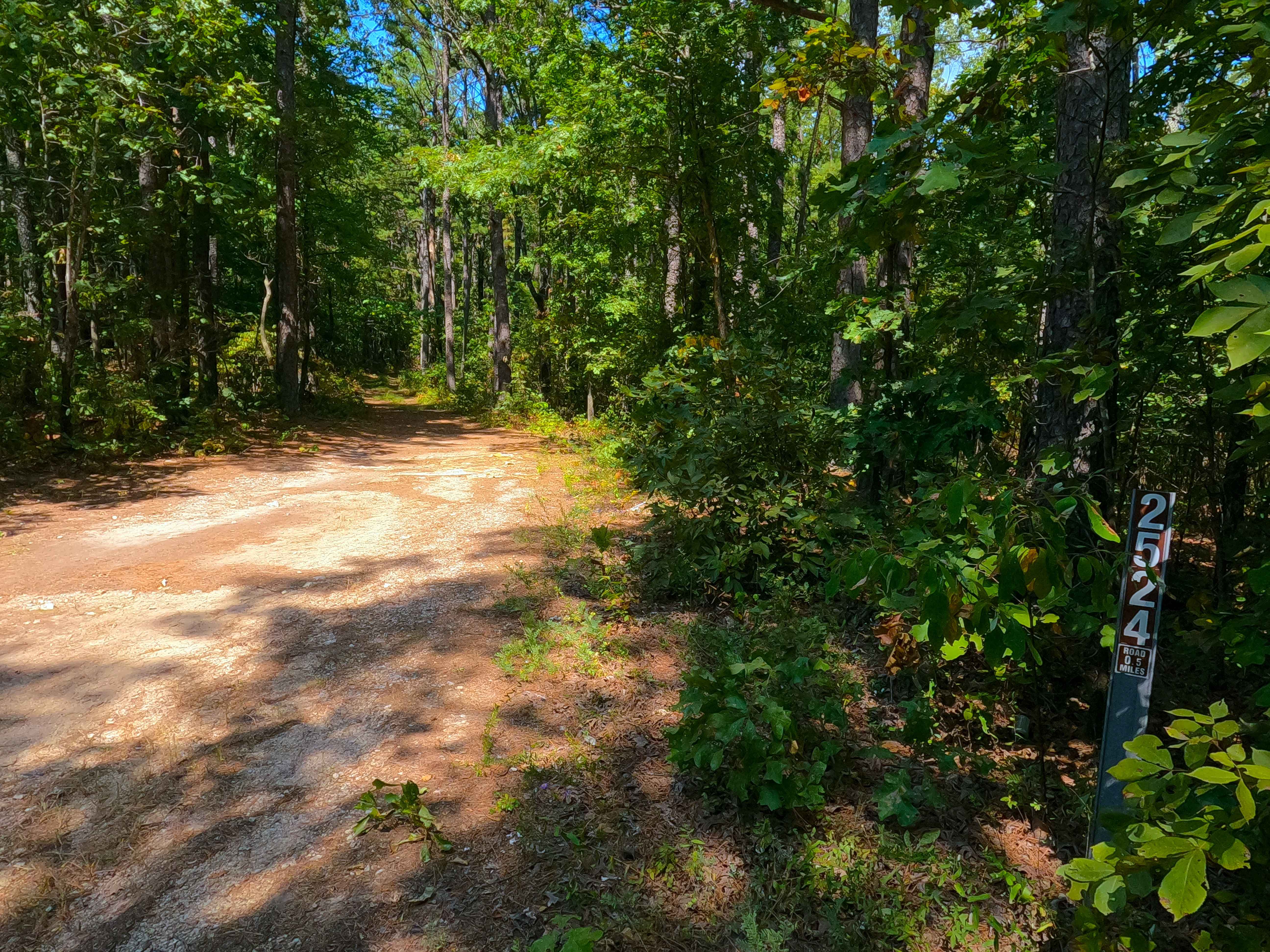
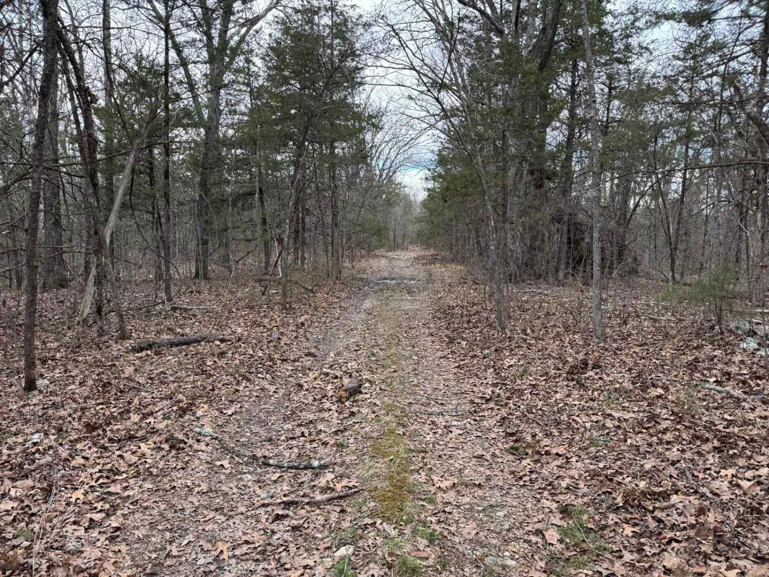
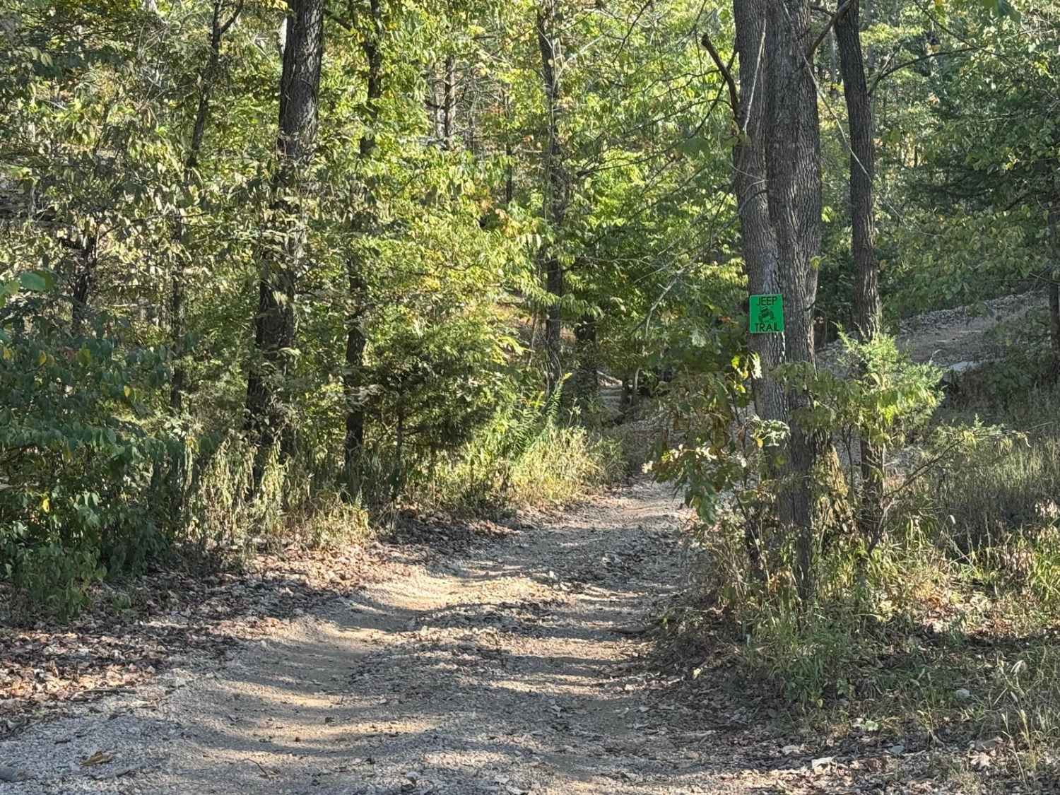
Pleasant Grove Church (FS 2524) is a natural terrain dirt road within the Potosi Unit of Mark Twain National Forest. The road is placed on the upper ridge in between the valleys of the Courtios Creek to the east and Indian Creek to the west. The road definitely feels likely to be someone's gem hunting road and area, with its remote placement and several prime spots to use in that sport. The path is natural gravel mixed with, and often fading into, dirt, made from the compost of fallen leaves and pine needles, occasionally with mild water erosion, natural rock cobbles sticking out of the ground, surface mud, and small water collection spots. At the MVUM-sanctioned end, there is a turnaround where users can 3-point turn and head back out the way the road was entered. From this turnaround, there is also a hiking path continuing north deeper into the Forest.
Photos of Pleasant Grove Church - FS 2524
Difficulty
Pleasant Grove Church is given a base rating of 2/10 for the 6 to 12 inch erosion ruts, subtle off-camber road surface, with potential water collection spots and surface mud found on the trail. It is also safe to expect the normal gravel road complications, such as washboards, potholes, mounding of the gravel, and potential spots where the gravel fades to dirt. Difficulty could increase in seasons of extreme inclement weather, lack of maintenance, and heavy use, but could also drop in difficulty if it were to be mended.
History
Sometimes what is interesting about these old roads is not where they end now but rather where they went and in what purpose they served in the past, usually trickling down to how they got named. Prime examples of this are the dead-end roads, Pleasant Grove Church (FS 2524) and Indian Creek Church (FS 2523), both of which would lead to Indian Creek Church, now known as Lower Indian Creek Church, which is 1.8 miles to the north of the current 2025 MVUM-sanctioned end of the FS 2524 road, at 37.74809, -91.07673, on a modern road known as Wells Road - Washington (CR 652). But what about the Pleasant Grove Church? Well, 1.3 miles to the west on Frank Bay Road - Iron CR 1 is the Point Pleasant School and Pleasant Grove Church, later renamed the Upper Indian Creek Church. Now, where it gets a little odd, the landowner titles of these two churches mismatch the name of the church on the map. Pleasant Grove Church is the owner name of (lower) Indian Creek Church, and Upper Indian Creek is the owner name of (formerly named) Pleasant Grove Church. Odd. Documentation done by Christopher Menz, 10/2025.
Status Reports
Pleasant Grove Church - FS 2524 can be accessed by the following ride types:
- High-Clearance 4x4
- SUV
- SxS (60")
- ATV (50")
- Dirt Bike
Pleasant Grove Church - FS 2524 Map
Popular Trails
Fairview Church - FSR 170

Hill Killer Road

Red-Green 52
The onX Offroad Difference
onX Offroad combines trail photos, descriptions, difficulty ratings, width restrictions, seasonality, and more in a user-friendly interface. Available on all devices, with offline access and full compatibility with CarPlay and Android Auto. Discover what you’re missing today!