Trail Overview
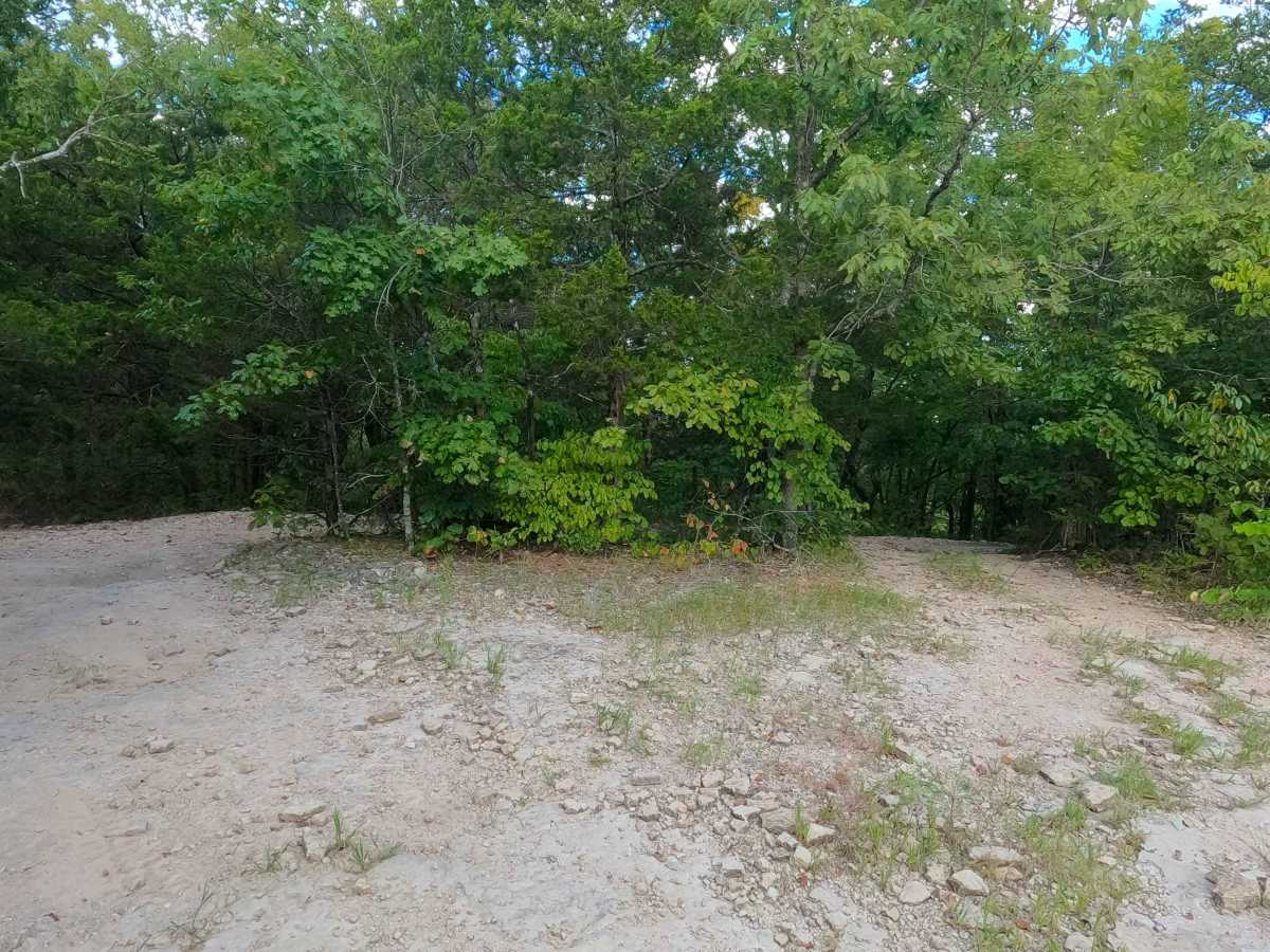
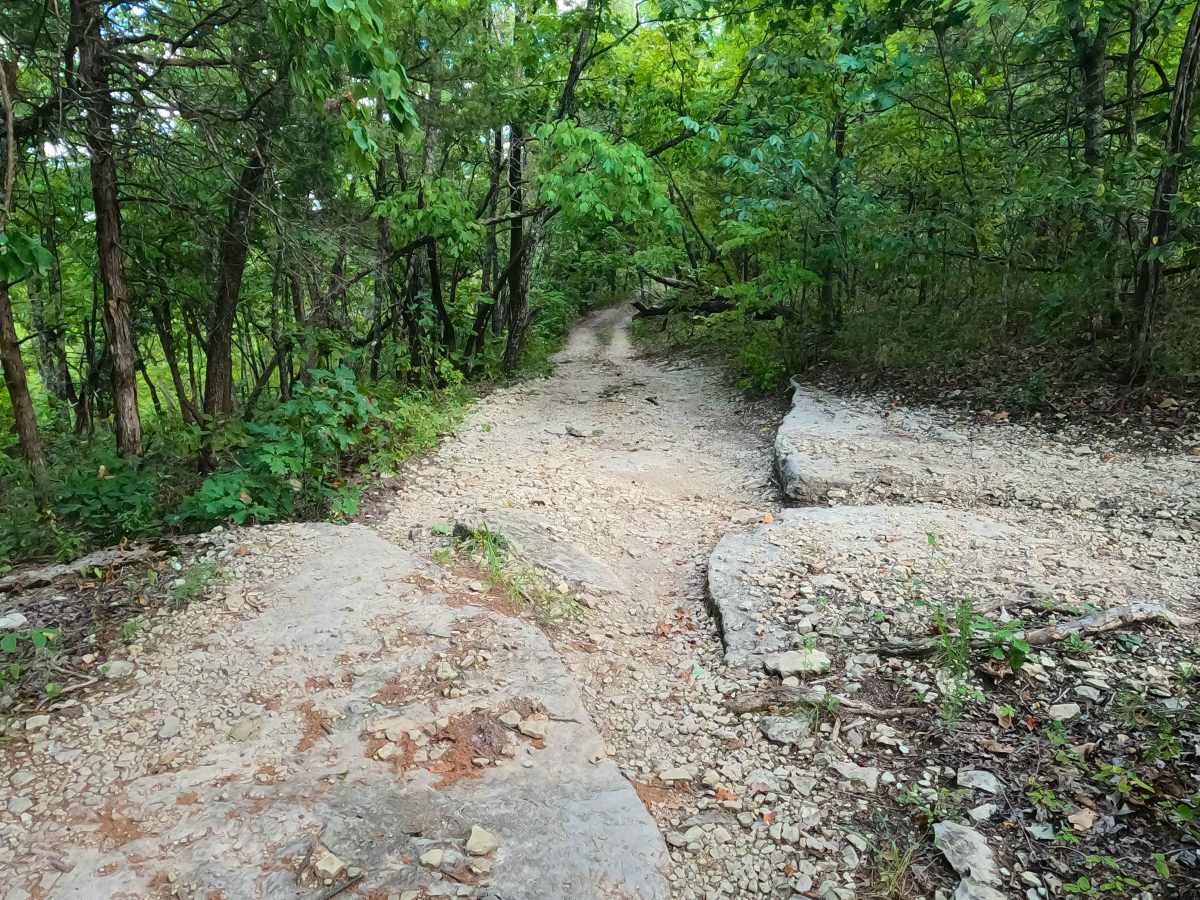
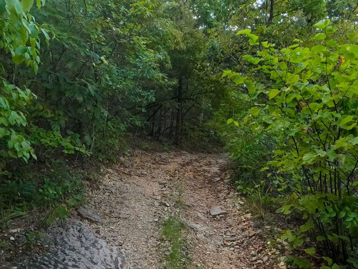
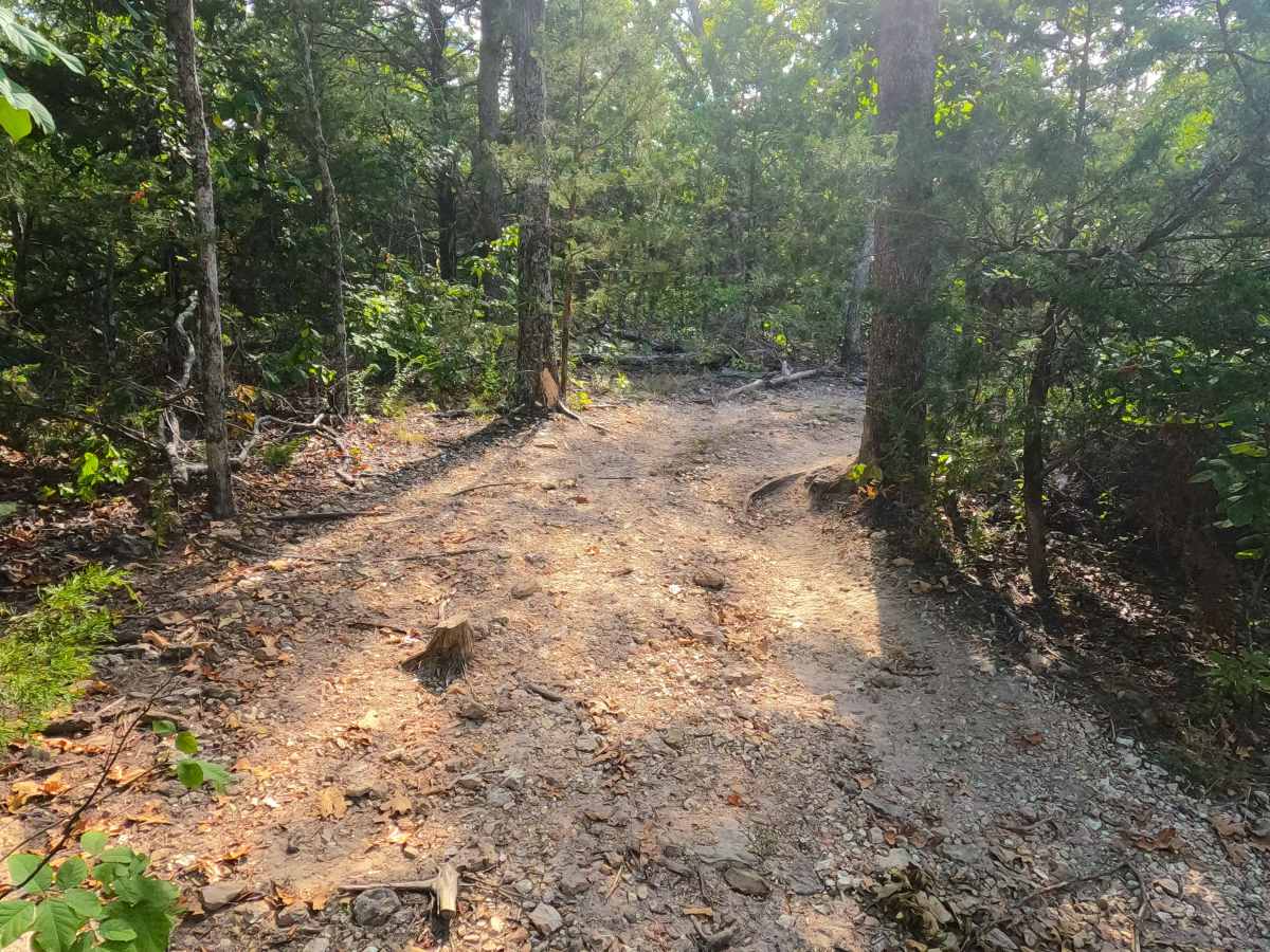
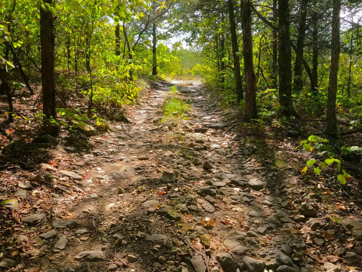
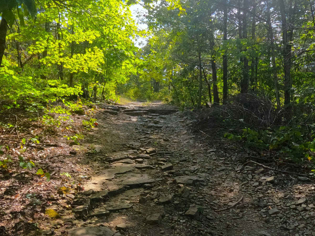
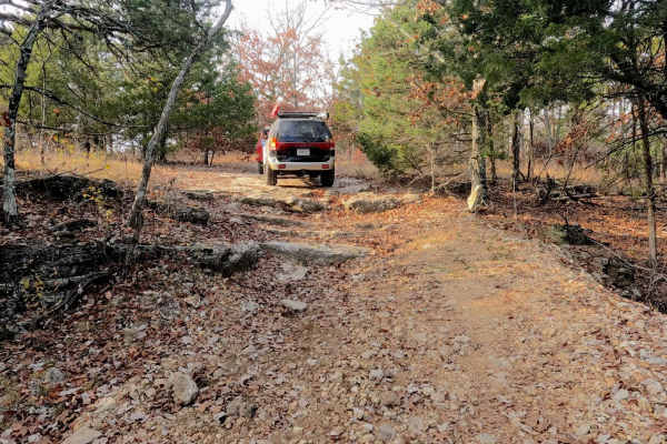
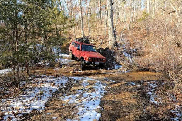
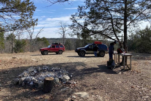
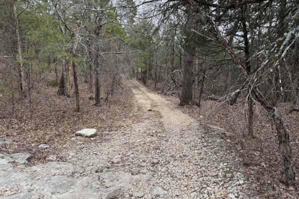
Pet Hollow FS 507A is a natural terrain forest service road within the Mark Twain National Forest Ava Unit, branching off the FS 507, as a part of the greater Glade Top National Forest Scenic Byway area. Pet Hollow FS 507A, leaves the Tennyson Hollow FS 507, heading east and slightly downhill towards where the Pet Hollow valley rests, holding a feeder creek of the East Fork Big Creek, along the way crossing things such as rock cobbles, small ledges and slabs of rock, erosion ruts, tight trees, small water collection holes, mild depth mud, all joined together by a dirty, coarse, natural rock base road. The original track of this used to continue east closer to the true Pet Hollow, to go north, with historic versions of this road pushing all the way to the FS 510 near FS 149, crossing paths midway with the former far west end of the FS 510A. At 36.64374, -92.79644, the modern road turns Northeast away from the sanctioned MVUM, with no signs of the old road that continued more so true east until it met the edge of private property closer to the designated Pet Hollow. Supposedly, the land owner had the FS road diverted away from their property. At this point, users are to turn around and head back out the way they entered, or to continue on foot to the feeder creek.
Difficulty
Pet Hollow 507A is given a base rating of 3/10 for having ledges and active erosion ruts (up to 12 inches), natural loose cobbles (3" up to 10" size), and small boulders (10" up to 12"), small splash level water collection holes (less than 6"), and mild depth mud (less than 12 inches), present on the road. Unsung difficulties are tight trees and pinstriping from the tight foliage and brush; that said, this trail is not advised for full-size rigs, though it is not illegal or impossible.. Difficulty could increase through extreme inclement weather and heavy use. The road could drop in difficulty if it were to be mended with a dozer and loads of gravel, but it is unlikely.
History
Looking at old topo maps, in the 1943 Protem, Missouri map, there was no sign of the modern FS 507A, though the older, now non-MVUM-sanctioned northern section appears as a road following the valley bottom, and continues the same in the 1968 edition, and 1985 Ava, MO topo. Not until the 2004 edition of the Protem topo map does the modern FS 507A appear, starting at the FS 507, going east, then down south to touch the edge of private property, but then turning north for a short section of the original valley road, this stayed consistent through the 2017 edition, with the 2021 edition cutting off the northern valley bottom section of the FS 507A, but in 9/2025 when documenting the modern tires on the ground track of the road, the last downhill section of the track diverts away from what the the MVUM, suggests going towards private property, with a new non-MVUM section going downhill to the valley bottom and branch creek.