Off-Road Trails in Missouri
Discover off-road trails in Missouri
Learn more about Mud Hole Main Loop
Mud Hole Main Loop
Total Miles
0.5
Tech Rating
Easy
Best Time
Summer, Fall, Winter, Spring
Learn more about Murphy Cemetery Road
Murphy Cemetery Road
Total Miles
1.2
Tech Rating
Easy
Best Time
Spring, Summer, Fall, Winter
Learn more about MX Cross Access
MX Cross Access
Total Miles
0.2
Tech Rating
Easy
Best Time
Spring, Fall, Summer, Winter

Learn more about Nasty Climb 1
Nasty Climb 1
Total Miles
0.0
Tech Rating
Extreme
Best Time
Summer, Fall, Winter, Spring
Learn more about Nasty Climb 2
Nasty Climb 2
Total Miles
0.0
Tech Rating
Difficult
Best Time
Spring, Summer, Fall, Winter
Learn more about New Prospect - FS 3813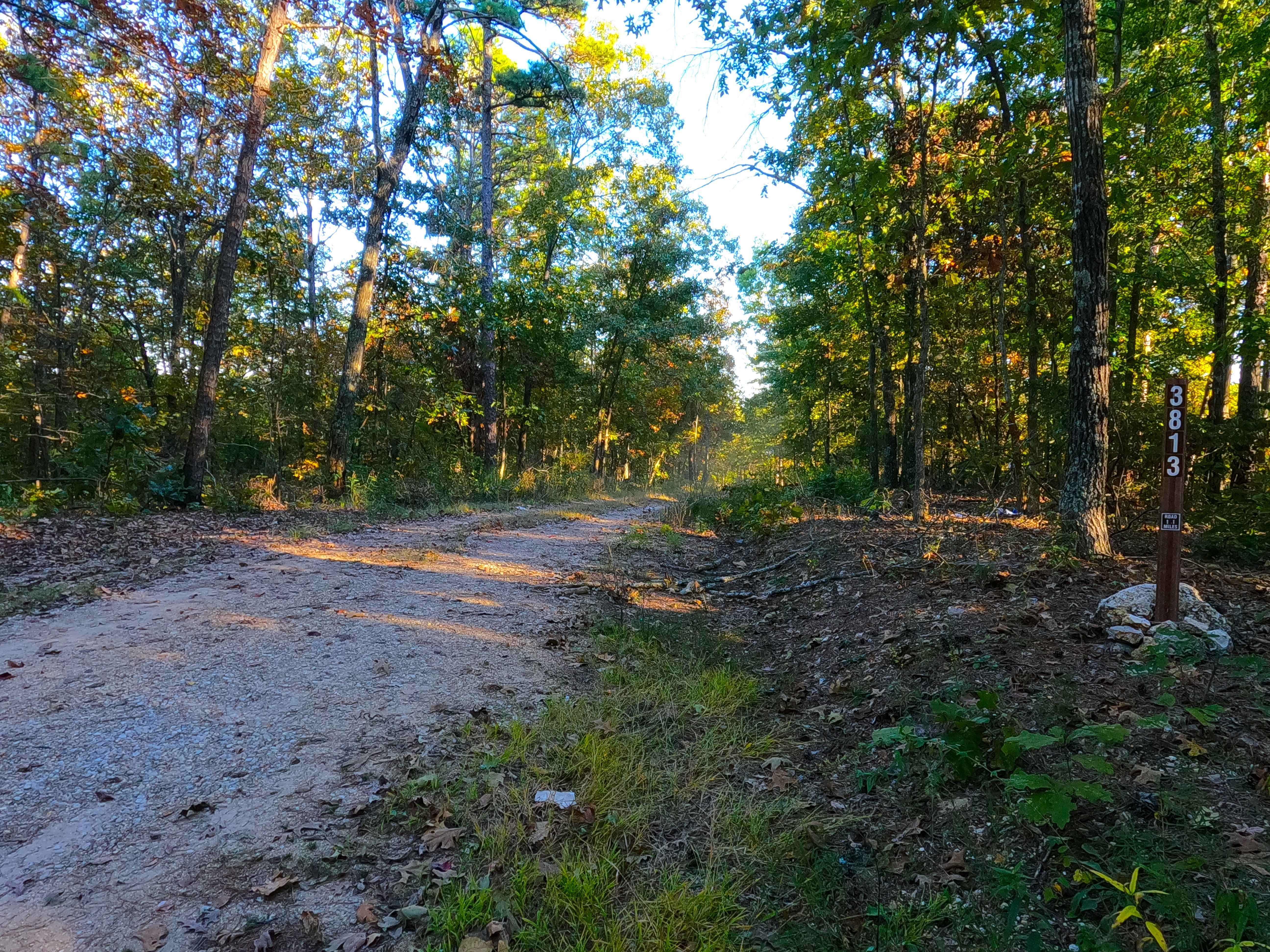
New Prospect - FS 3813
Total Miles
1.1
Tech Rating
Easy
Best Time
Spring, Summer, Fall, Winter
Learn more about Nine Mile (Marsh Creek FSR 2120)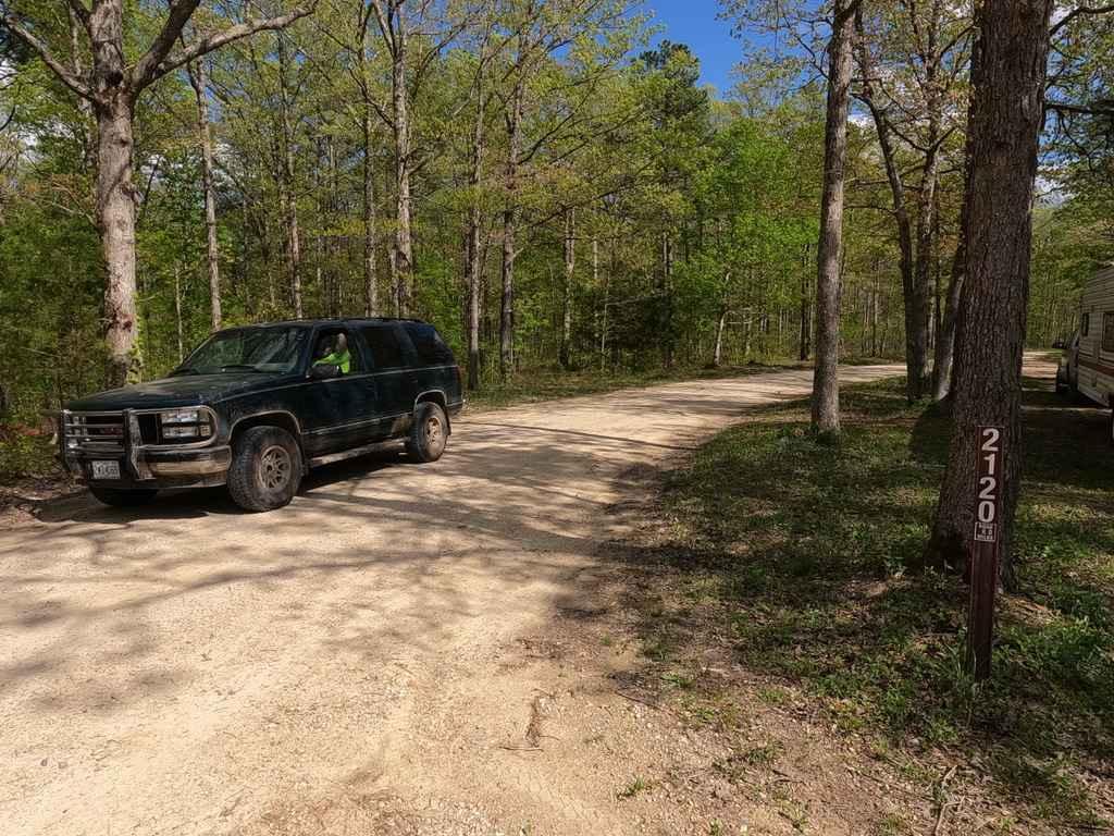
Nine Mile (Marsh Creek FSR 2120)
Total Miles
7.8
Tech Rating
Easy
Best Time
Spring, Fall, Summer, Winter
Learn more about Nine Mile Depths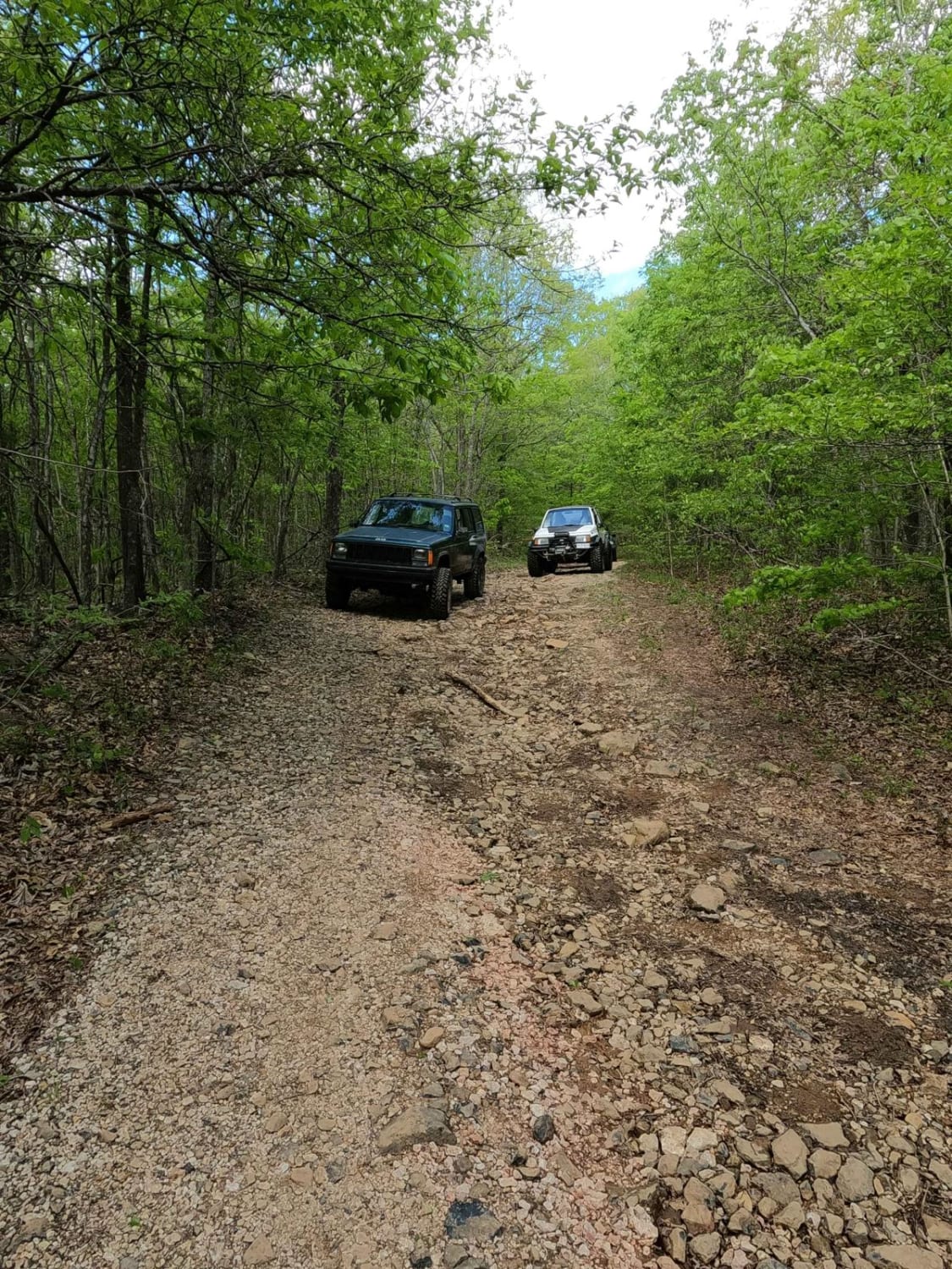
Nine Mile Depths
Total Miles
1.5
Tech Rating
Moderate
Best Time
Spring, Fall, Summer, Winter
Learn more about Nodaway River Drive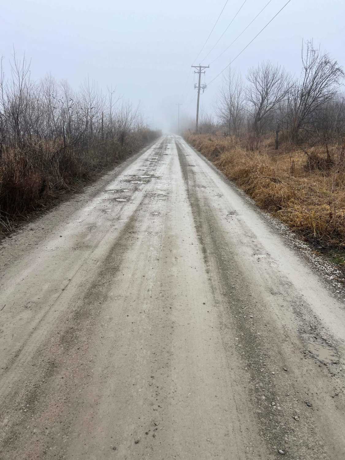
Nodaway River Drive
Total Miles
6.9
Tech Rating
Easy
Best Time
Spring, Summer, Fall, Winter
Learn more about North James - FS 2743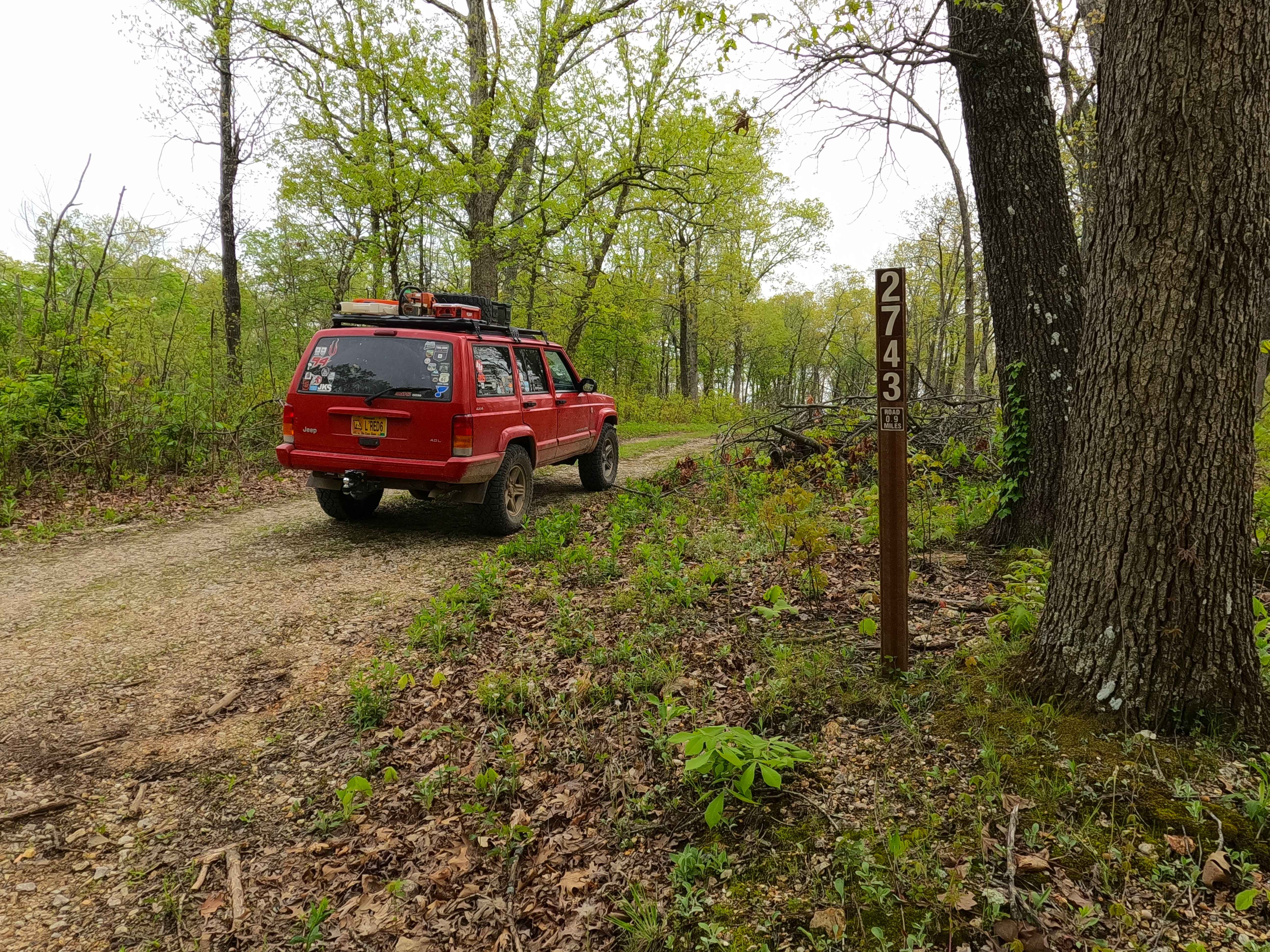
North James - FS 2743
Total Miles
1.0
Tech Rating
Easy
Best Time
Fall
Learn more about North Riverside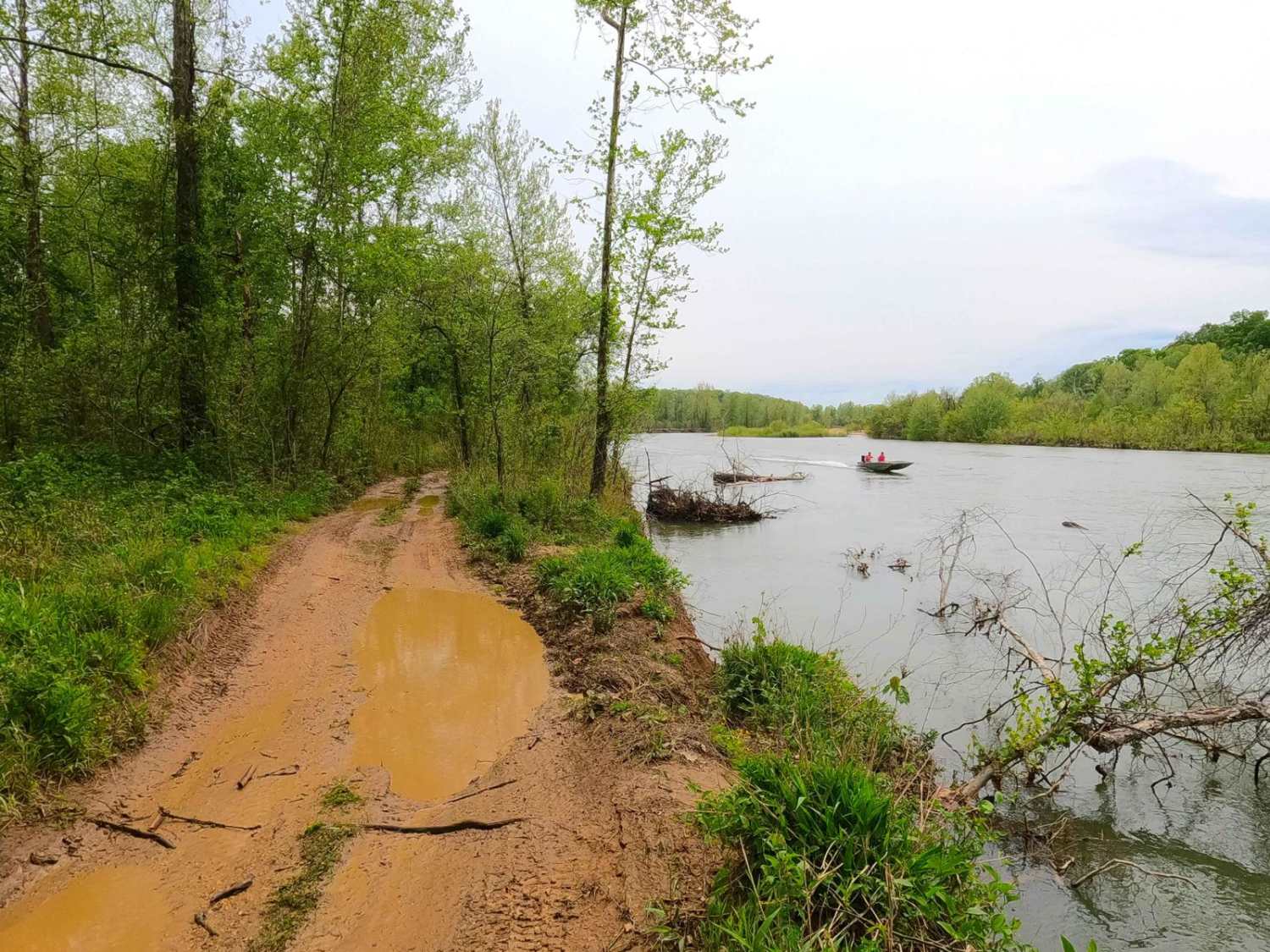
North Riverside
Total Miles
1.1
Tech Rating
Moderate
Best Time
Spring, Summer, Fall, Winter
Learn more about Northern Woodland Trail
Northern Woodland Trail
Total Miles
0.7
Tech Rating
Easy
Best Time
Spring, Summer, Fall, Winter
Learn more about Oak Hill School FSR 3677 / 3677A
Oak Hill School FSR 3677 / 3677A
Total Miles
1.3
Tech Rating
Moderate
Best Time
Spring, Summer, Fall, Winter
Learn more about Oak Tower FSR 3104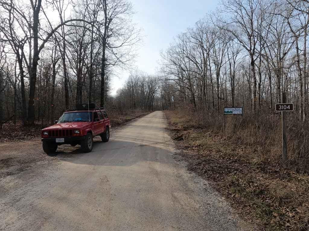
Oak Tower FSR 3104
Total Miles
2.7
Tech Rating
Easy
Best Time
Spring, Summer, Fall, Winter
Learn more about Obstacle E
Obstacle E
Total Miles
0.1
Tech Rating
Moderate
Best Time
Spring, Fall, Winter, Summer
Learn more about Off Balance
Off Balance
Total Miles
0.1
Tech Rating
Moderate
Best Time
Spring, Summer, Fall, Winter
Learn more about OG Rib Cage 
OG Rib Cage
Total Miles
0.1
Tech Rating
Difficult
Best Time
Spring, Summer, Fall, Winter
Learn more about Old Baptist Church Bo-Co Road 920
Old Baptist Church Bo-Co Road 920
Total Miles
1.9
Tech Rating
Moderate
Best Time
Spring, Summer, Fall
ATV trails in Missouri


Learn more about 4 of 5
4 of 5
Total Miles
0.0
Tech Rating
Difficult
Best Time
Spring, Summer, Fall, Winter
UTV/side-by-side trails in Missouri
Learn more about 4 of 5
4 of 5
Total Miles
0.0
Tech Rating
Difficult
Best Time
Spring, Summer, Fall, Winter
The onX Offroad Difference
onX Offroad combines trail photos, descriptions, difficulty ratings, width restrictions, seasonality, and more in a user-friendly interface. Available on all devices, with offline access and full compatibility with CarPlay and Android Auto. Discover what you’re missing today!