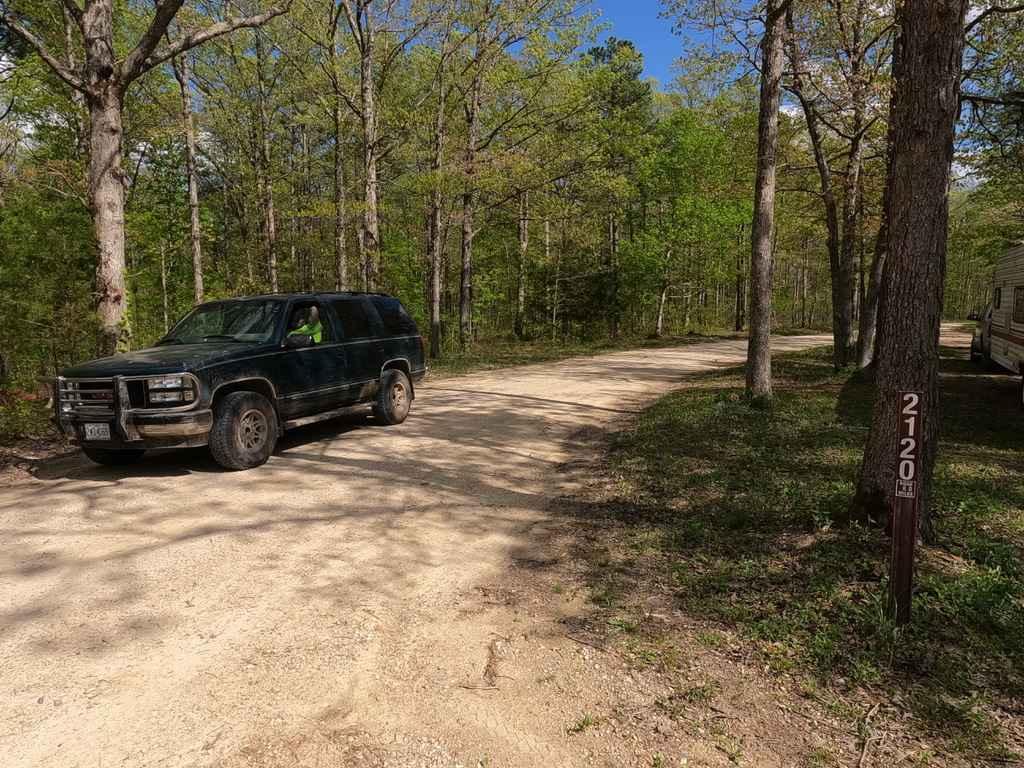
Nine Mile (Marsh Creek FSR 2120)
Total Miles
7.8
Technical Rating
Best Time
Spring, Fall, Summer, Winter
Trail Type
Full-Width Road
Accessible By
Trail Overview
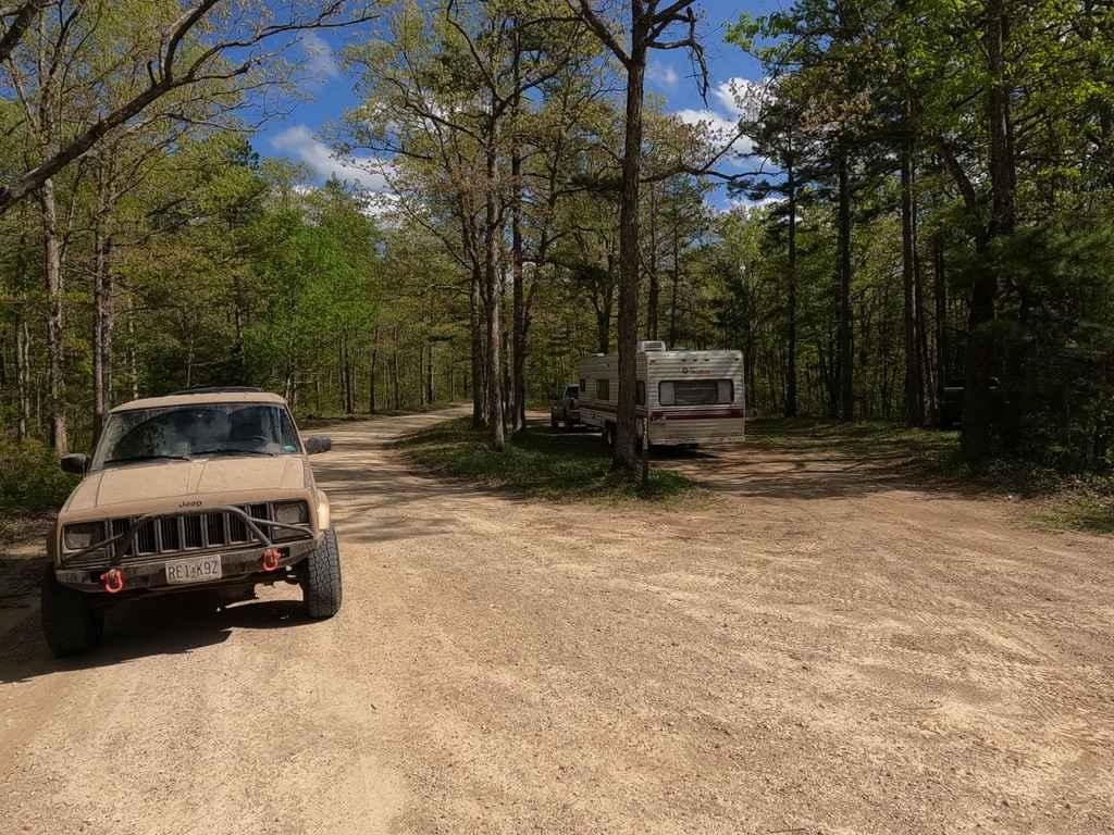
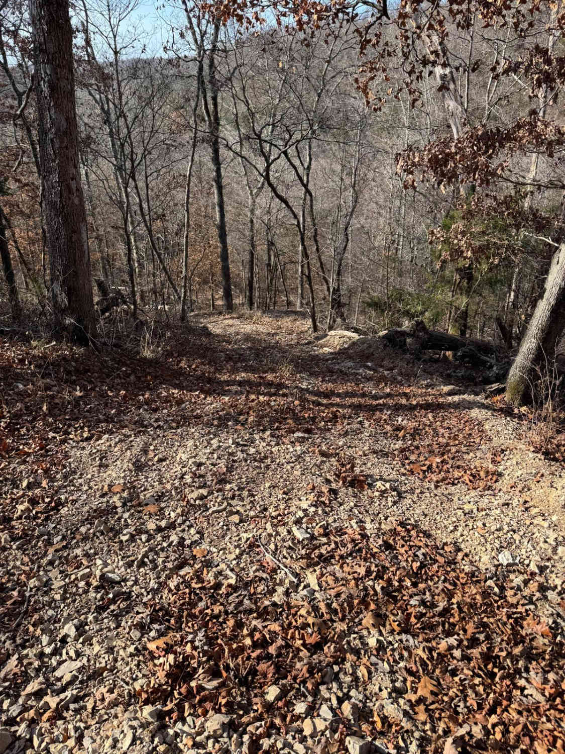
Nine Mile, also known as Marsh Creek FSR 2120, is a gravel forestry route through the Fredericktown sector of Mark Twain National Forest. The road features generally easy riding through the part of the St Francois mountains it lays upon, it features some moderate hill climbs, loose gravel, mounding, washboarding, small natural rock poking out at the road surface, and one small creek crossing. The focus of the trail definitely has been shaped by hunting based use. It also features some of the closest things Mark Twain National Forest has to a switchback, specifically at the 4.1-4.5 mile mark in. The road is legally a one way in and out, and features several camp cut outs and two branch trails along the way. When you reach the last 1.6 mile of the road the difficulty increases, this is due to the change from maintained road to natural road, the difficulty increases to the point it is considered it's own trail, called "Nine Mile Depths".
Photos of Nine Mile (Marsh Creek FSR 2120)
Difficulty
This is a generally easy gravel road through some moderate-graded hills, the biggest thing is taking your time going down the hills and climbing up them, there is one small creek that is in the bottoms at the center point, it could possibly flood to higher levels in a heavy downpour, this being the one reason it is a 2/10, outside of this it has the normal Forestry road washboarding, mounding, and minor ruts were rain water erosion carves into the road surface. This road would make a great snow-covered adventure, of course, the difficult would increase with such conditions.
Status Reports
Nine Mile (Marsh Creek FSR 2120) can be accessed by the following ride types:
- High-Clearance 4x4
- SUV
Nine Mile (Marsh Creek FSR 2120) Map
Popular Trails

Pigeon Roost Road - WCR 603
Yellow 250

Grisham Road

Stringtown Branch - FSR 2550
The onX Offroad Difference
onX Offroad combines trail photos, descriptions, difficulty ratings, width restrictions, seasonality, and more in a user-friendly interface. Available on all devices, with offline access and full compatibility with CarPlay and Android Auto. Discover what you’re missing today!