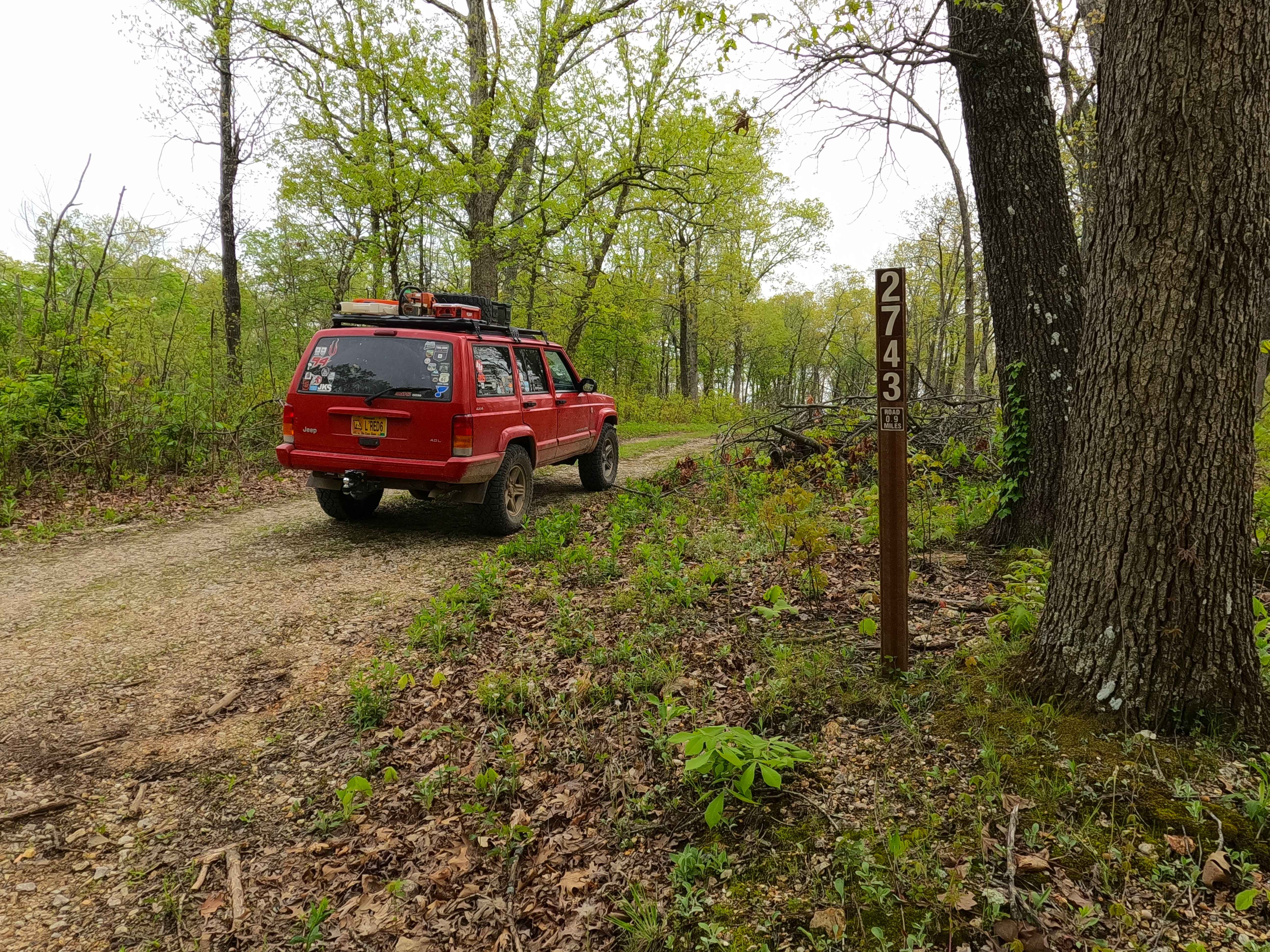
North James - FS 2743
Total Miles
1.0
Technical Rating
Best Time
Fall
Trail Type
Full-Width Road
Accessible By
Trail Overview
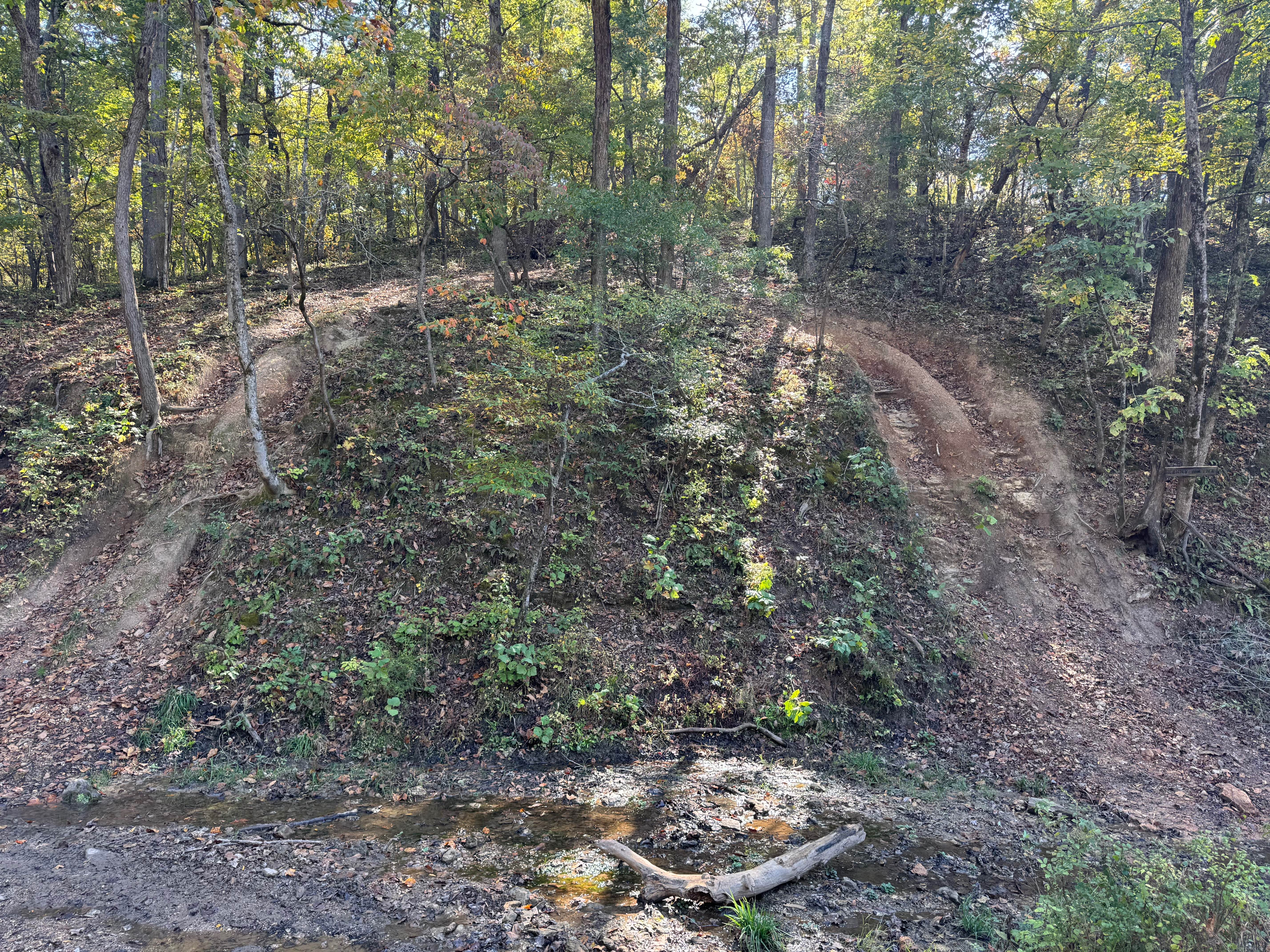
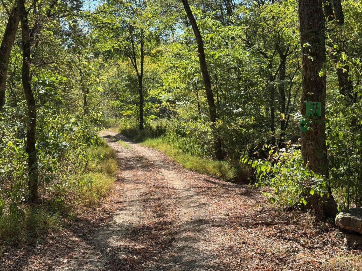
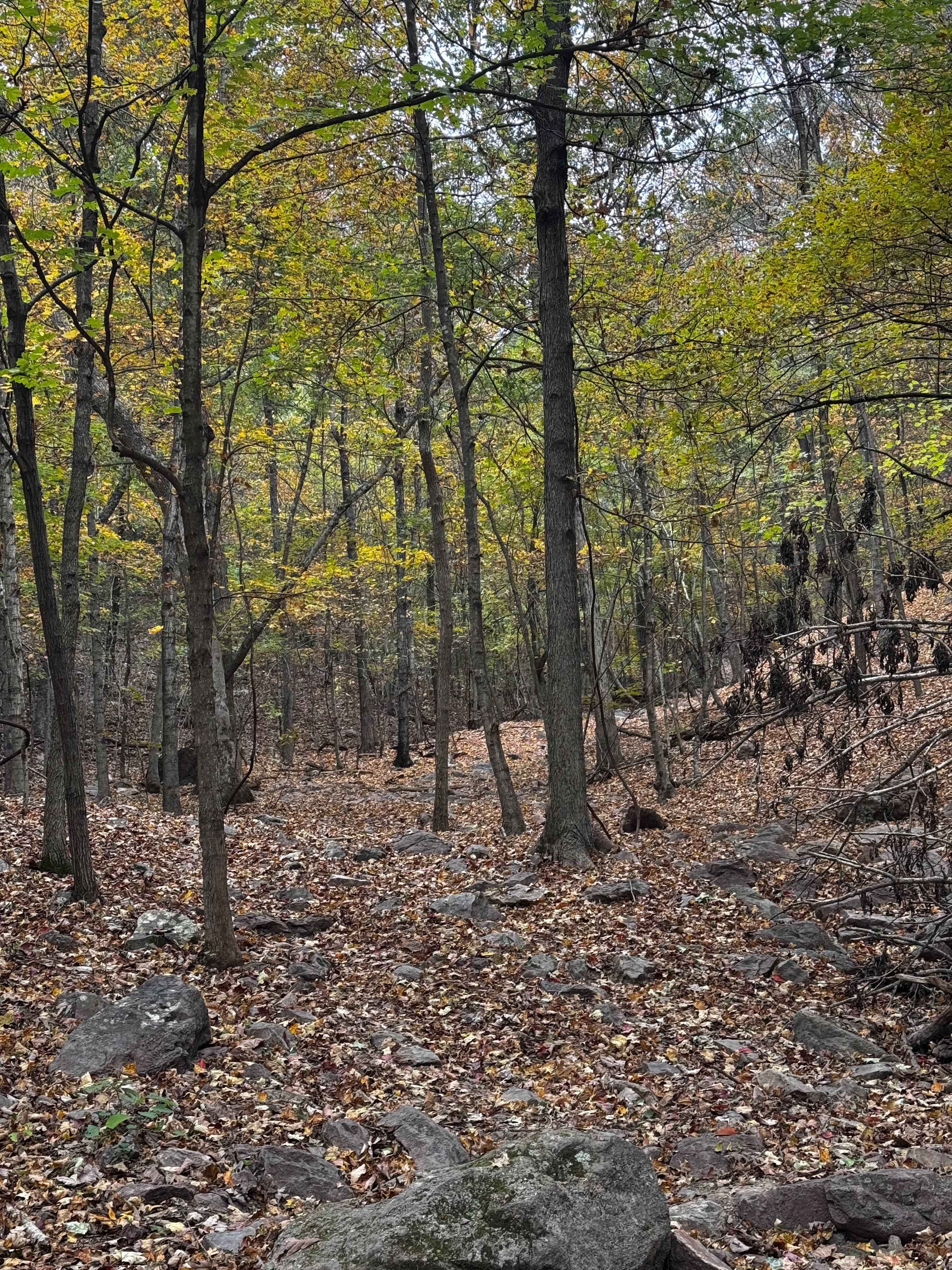
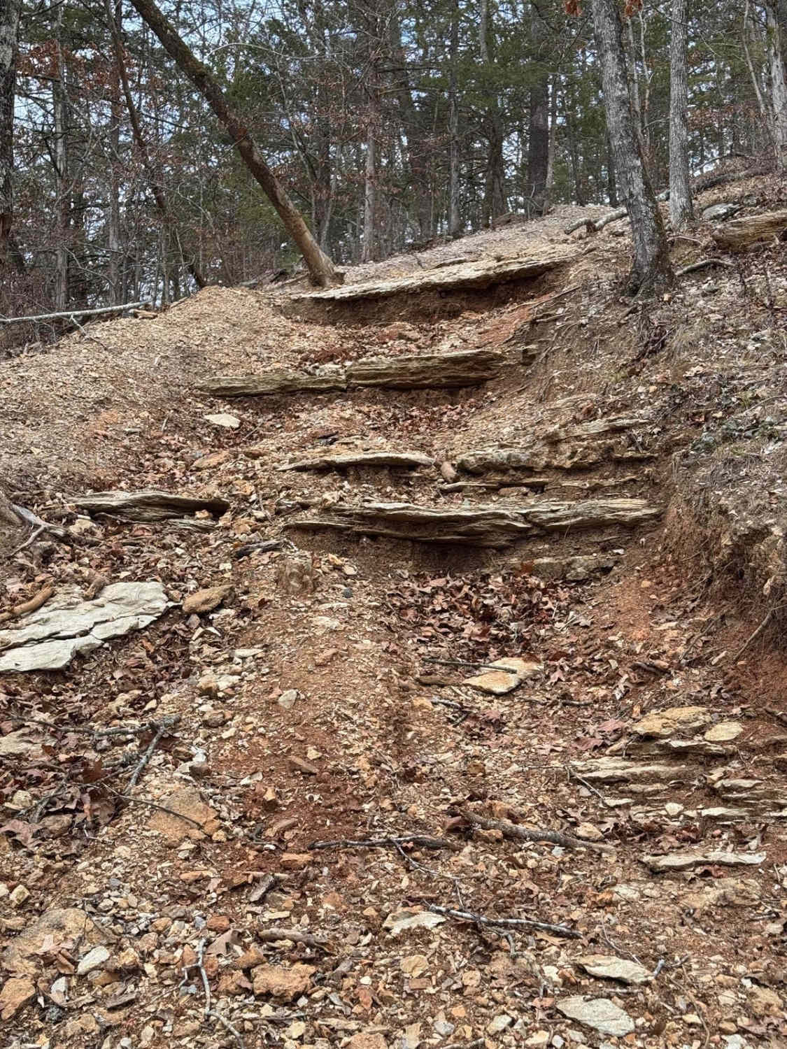
North James (FS 2743) is a low-standard gravel forest service road within the Mark Twain National Forest Potosi Unit. North James features a short annual season of use from November 7th to November 30th, during deer season. The road is 0.9 of a mile long, starting from the hilltop along the Crooked Tower Road, having a large wooden post fence entry 200 feet from that main road, then heading south downhill towards the James Creek Valley, navigating loose coarse gravel, mild washes and erosion ruts, natural rock poking out at the surface, overgrown vegetation due to the limited use, and potential fallen trees. The road ends at an open area, with the path continuing for a short distance past this open area to a closed red gate where the MVUM would suggest it meets the FS 2741A, though this seems to be nonexistent; users must turn around and head out the way they entered.
Photos of North James - FS 2743

Difficulty
North James is given a 2/10 base rating, being a single-width, two-track, low-standard gravel road that goes mildly downhill to the legal endpoint, featuring coarse gravel, occasional natural rock poking out at the surface, washes, and mild erosion, with the potential to have small fallen trees over the road. The unsung difficulties are overgrown vegetation due to the limited legal motorized use from November 7th to November 30th. Towards the southern end, this turns into briars and thorn patches; beware. It is safe to expect all the normal gravel road complications of washboards, mounding, and potholes. The difficulty could increase due to a lack of maintenance or extreme wet and inclement conditions, or drop in difficulty if the road were to be mended with fresh gravel throughout.
History
Note the legal season use is between November 7th to November 30th annually.
Status Reports
North James - FS 2743 can be accessed by the following ride types:
- High-Clearance 4x4
- SUV
- SxS (60")
- ATV (50")
- Dirt Bike
North James - FS 2743 Map
Popular Trails
Kenny Wayne
Bouncing Buggies
The onX Offroad Difference
onX Offroad combines trail photos, descriptions, difficulty ratings, width restrictions, seasonality, and more in a user-friendly interface. Available on all devices, with offline access and full compatibility with CarPlay and Android Auto. Discover what you’re missing today!