Nodaway River Drive
Total Miles
6.9
Technical Rating
Best Time
Spring, Summer, Fall, Winter
Trail Type
Full-Width Road
Accessible By
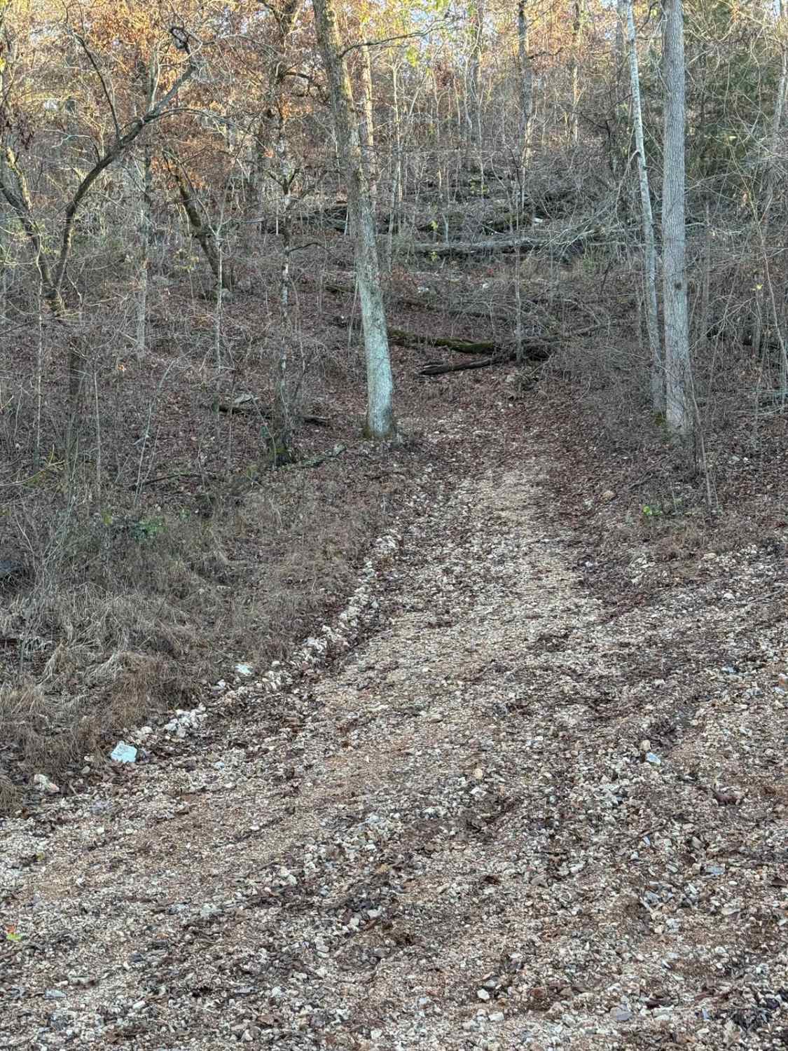
Trail Overview
Nodaway River drive follows along the Nodaway River to the confluence of the Missouri River. It connects the Missouri conservation areas of Honey Creek and Monkey Mountain. It's an easy-going gravel road passing through mostly private property with occasional potholes to look out for. The road may require 4WD when under bad weather along the bluffs of Monkey Mountain.
Photos of Nodaway River Drive
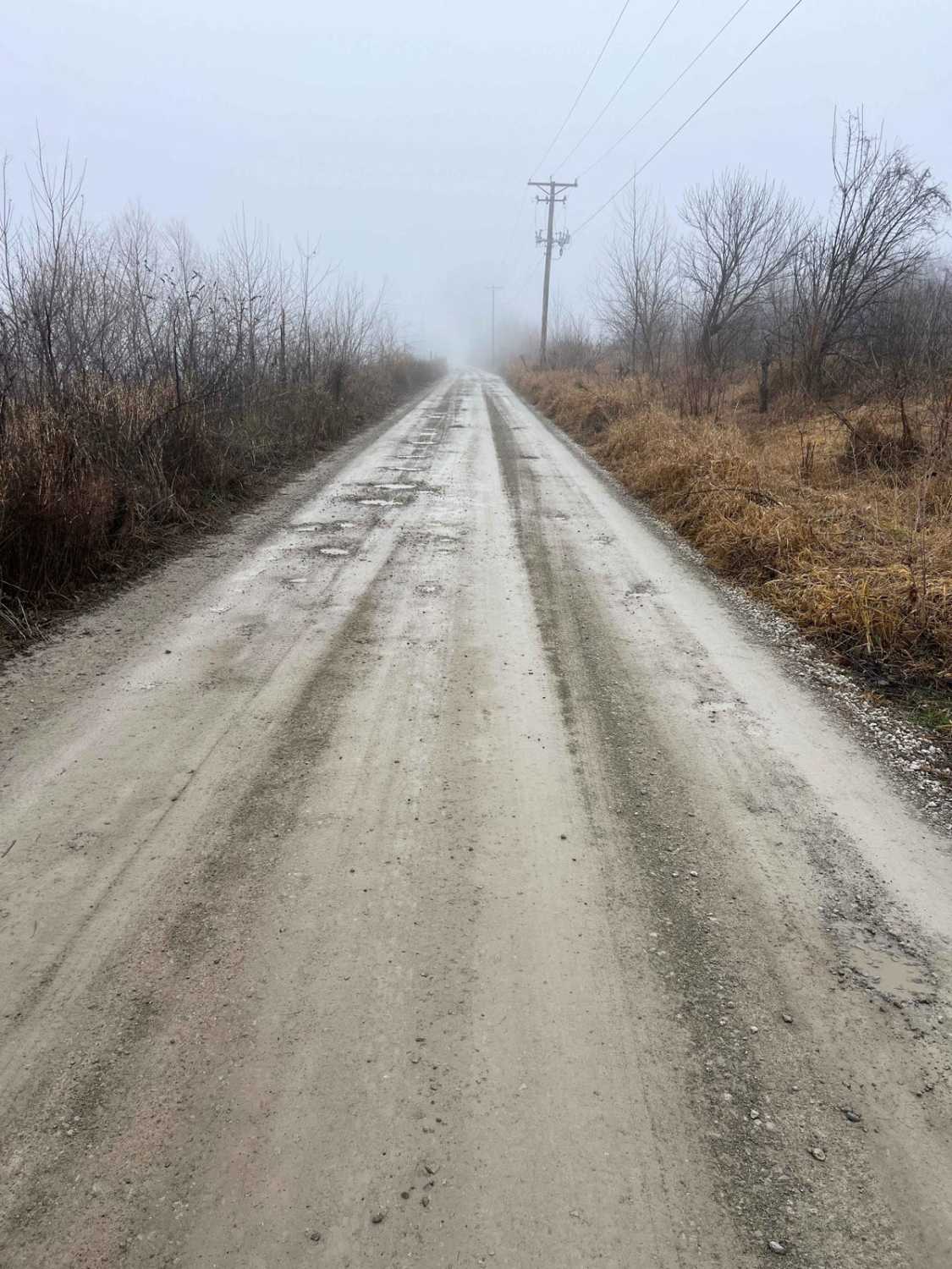
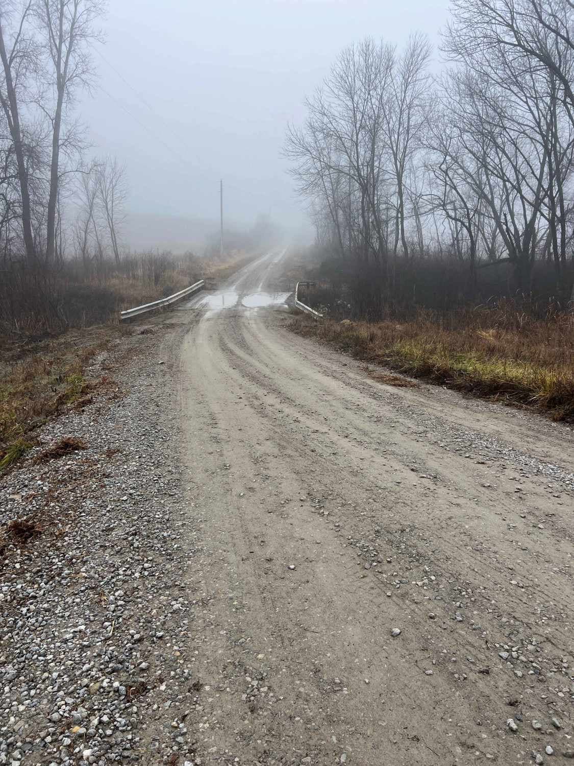
Difficulty
This is an easy-going gravel road with some potholes. The section of road along the Monkey Mountain bluffs can be muddy and slick when wet.
Nodaway River Drive can be accessed by the following ride types:
- SUV
Nodaway River Drive Map
Popular Trails
Twelvemile Creek FSR 2130
Yellow 151

Country Road 392/396
The onX Offroad Difference
onX Offroad combines trail photos, descriptions, difficulty ratings, width restrictions, seasonality, and more in a user-friendly interface. Available on all devices, with offline access and full compatibility with CarPlay and Android Auto. Discover what you’re missing today!