Old Plantation Access Road
Total Miles
2.7
Technical Rating
Best Time
Spring, Summer, Fall, Winter
Trail Type
Full-Width Road
Accessible By
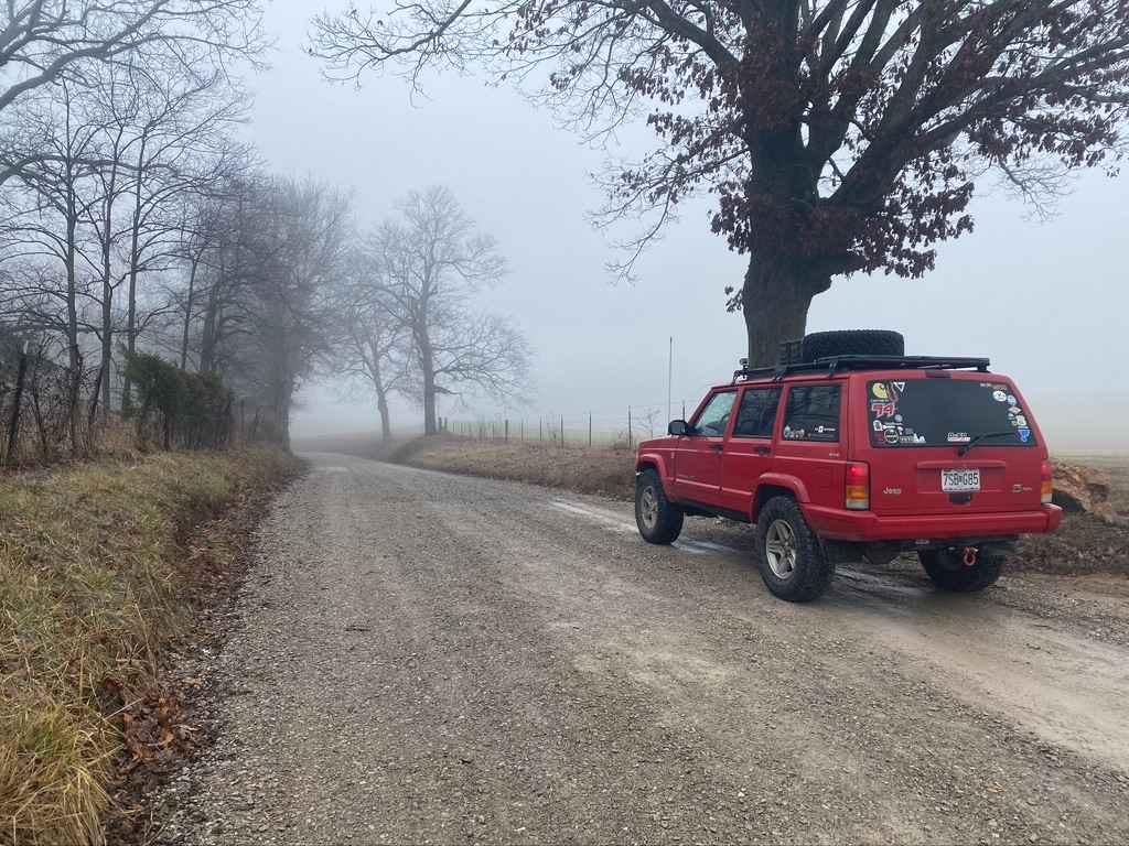
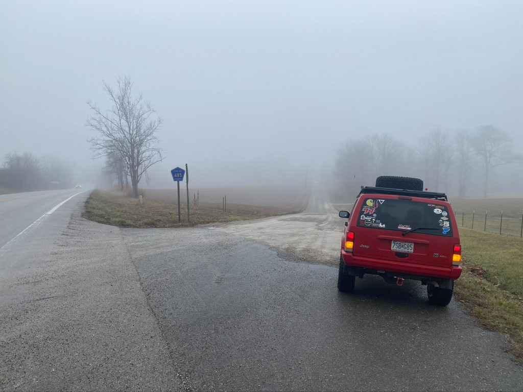
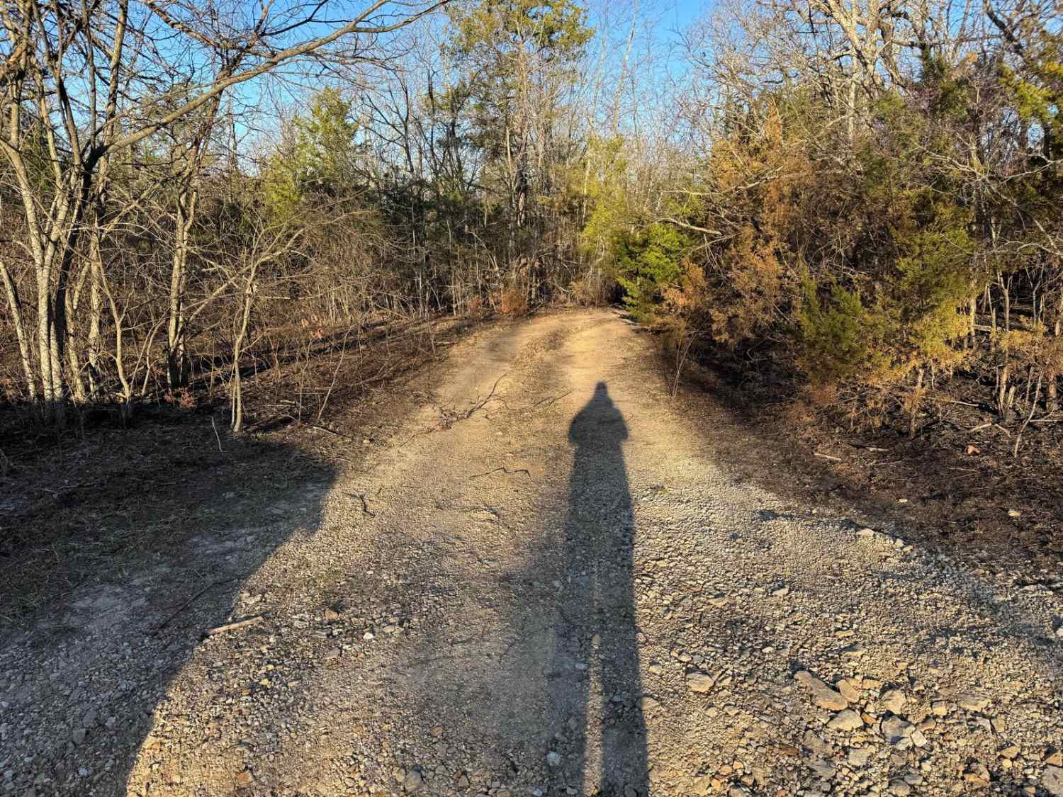
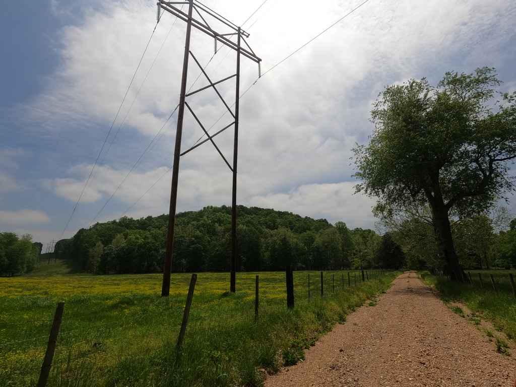
Trail Overview
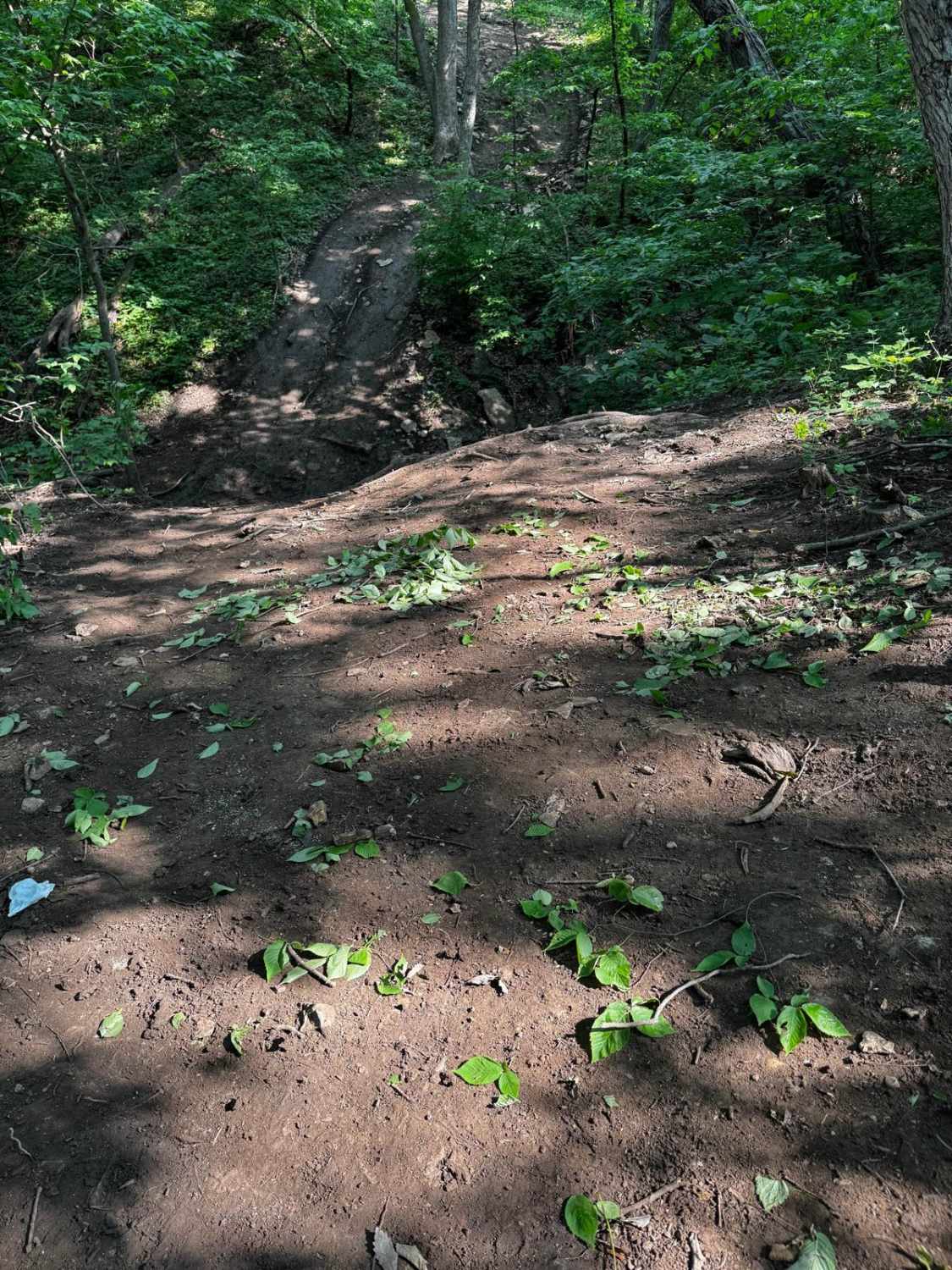
Old Plantation Access Road, also named Cape Girardeau County Road 485, is a gravel road in Millersville, Missouri, that also doubles as a Missouri Department of Conservation land access road. The road features beautiful rolling hills and farmland scenery in the bottoms, with two low-water bridges that have water crossing potential when rain is in the area. It's a good smooth drive that could have mild mounding and washboarding at its worst but seems to be very well maintained. There are two gravel parking lots along the gravel road to park for the specific use of the Conservation Land. One is small and the other is large. Summarized, a beautiful gravel road with good views, places to gather and plan an offroading outing, and a great break-in road for a day of offroading when headed west on Missouri-72.
Photos of Old Plantation Access Road
Difficulty
Due to water crossing potentials, the trail is bumped up to 2, otherwise, everything else on the trail is a solid 1. Though, the edge of the road does get soft in places; be cautious of this.
Status Reports
Old Plantation Access Road can be accessed by the following ride types:
- High-Clearance 4x4
- SUV
Old Plantation Access Road Map
Popular Trails
County Road 523

Yee Haw Ledges 114
Mayfield Loop Bo-Co Road 348/350
Bounty Hill 93
The onX Offroad Difference
onX Offroad combines trail photos, descriptions, difficulty ratings, width restrictions, seasonality, and more in a user-friendly interface. Available on all devices, with offline access and full compatibility with CarPlay and Android Auto. Discover what you’re missing today!