Parkstone Drive
Total Miles
10.3
Technical Rating
Best Time
Spring, Summer, Fall, Winter
Trail Type
Full-Width Road
Accessible By
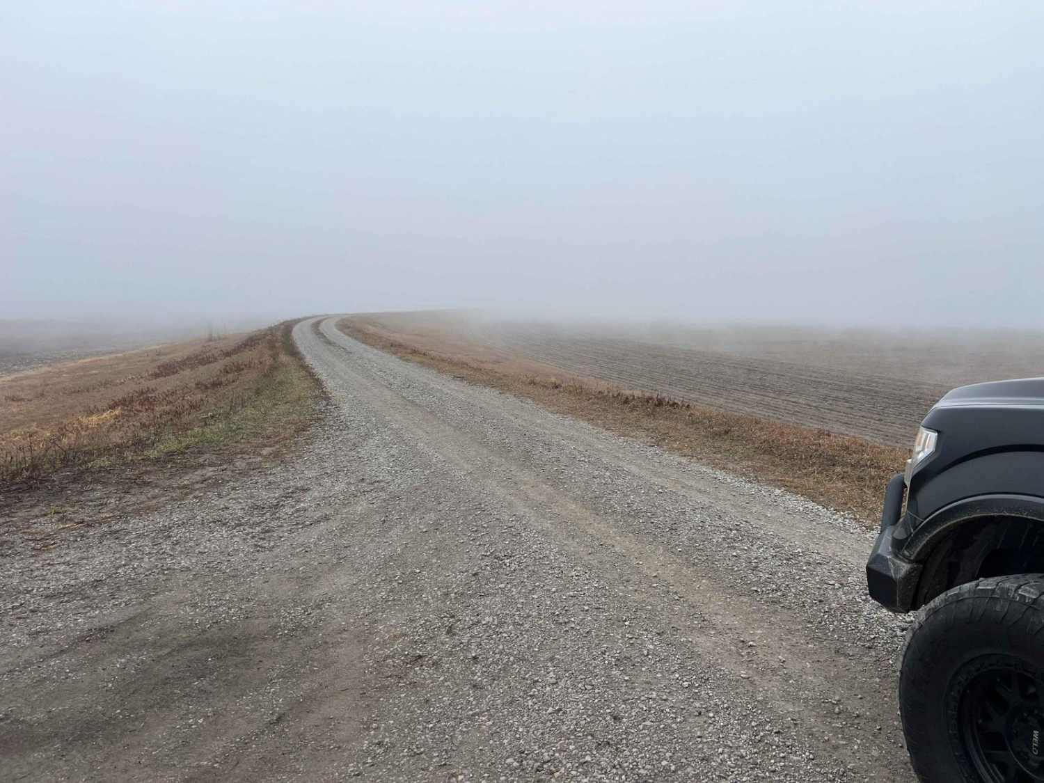
Trail Overview
Parkstone Drive weaves along the Missouri river bottoms following the Corps of Engineers levee system. It's a well-maintained gravel drive with private property on each side. This route ends and begins at Missouri Conservation areas Riverbreaks and Monkey Mountain. Many upland and migratory birds can bee seen while making this drive.
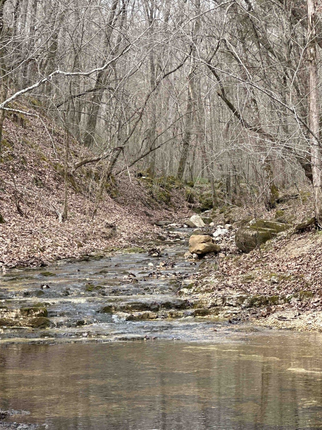
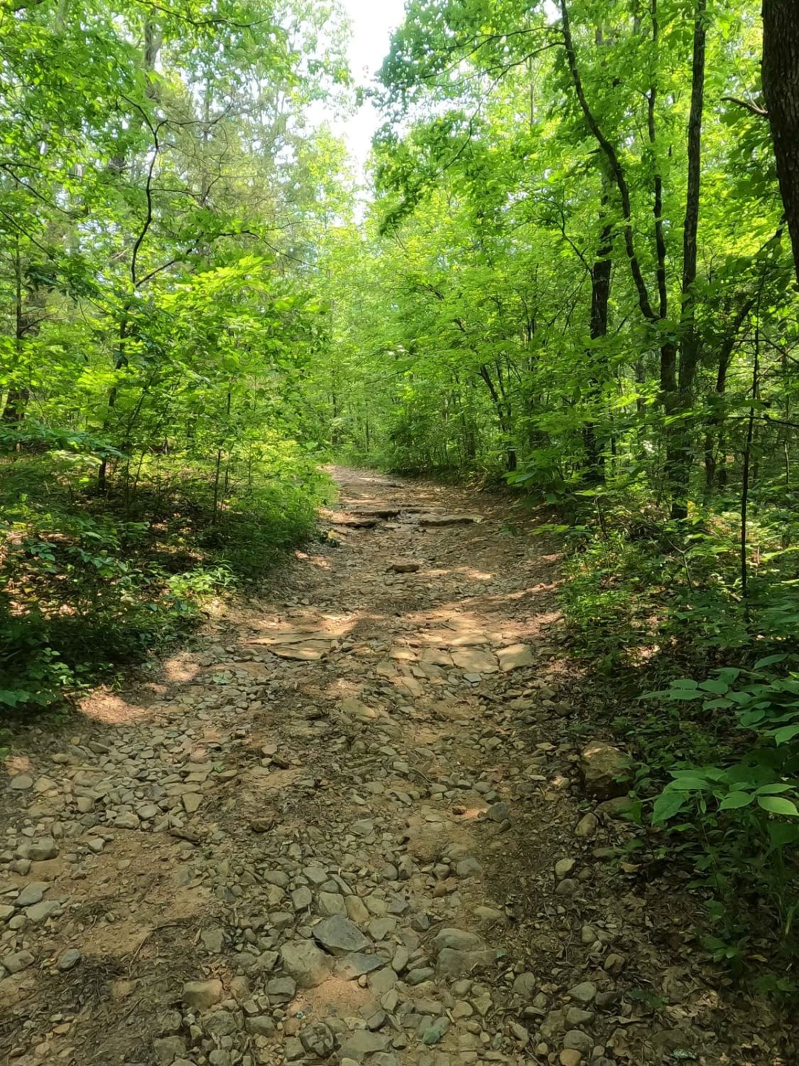
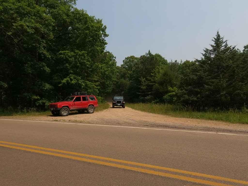
Photos of Parkstone Drive

Difficulty
This is an easy gravel road following the Missouri River bottom levee system.
Status Reports
Parkstone Drive can be accessed by the following ride types:
- SUV
Parkstone Drive Map
Popular Trails
Bald Road to Western Road
Bill Smith Hollow FSR 2064

Kanes Candy Lane
Matthews Mountain FSR 2127
The onX Offroad Difference
onX Offroad combines trail photos, descriptions, difficulty ratings, width restrictions, seasonality, and more in a user-friendly interface. Available on all devices, with offline access and full compatibility with CarPlay and Android Auto. Discover what you’re missing today!