Bill Smith Hollow FSR 2064
Total Miles
1.4
Technical Rating
Best Time
Spring, Summer, Fall, Winter
Trail Type
Full-Width Road
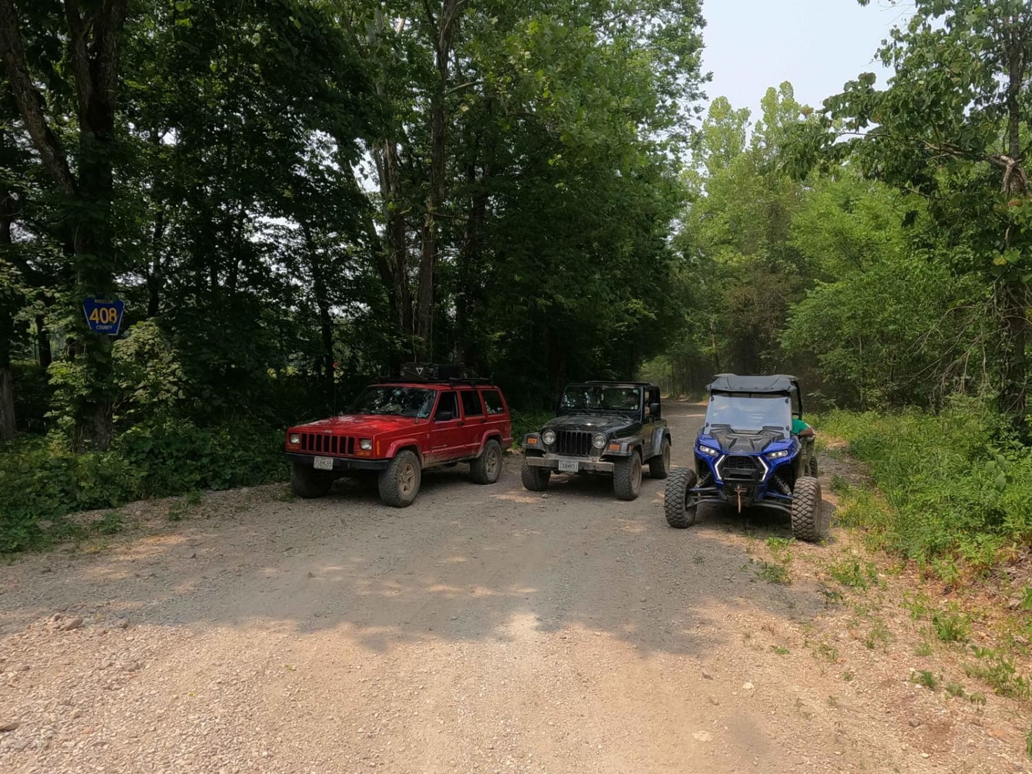
Accessible By
Trail Overview
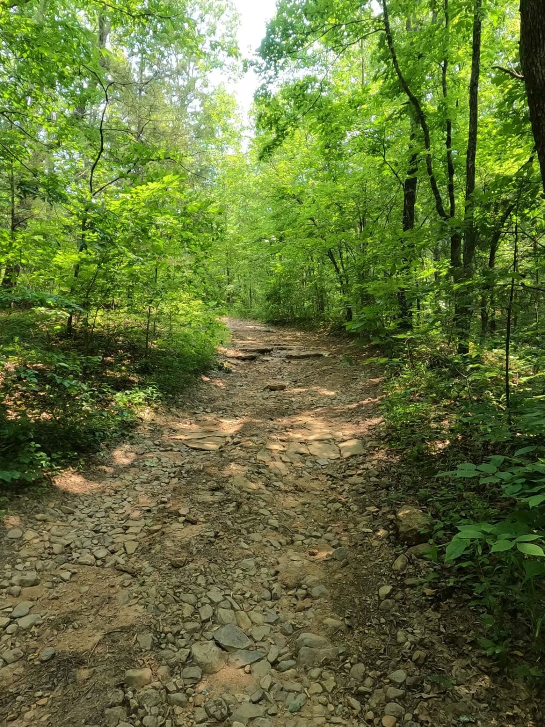
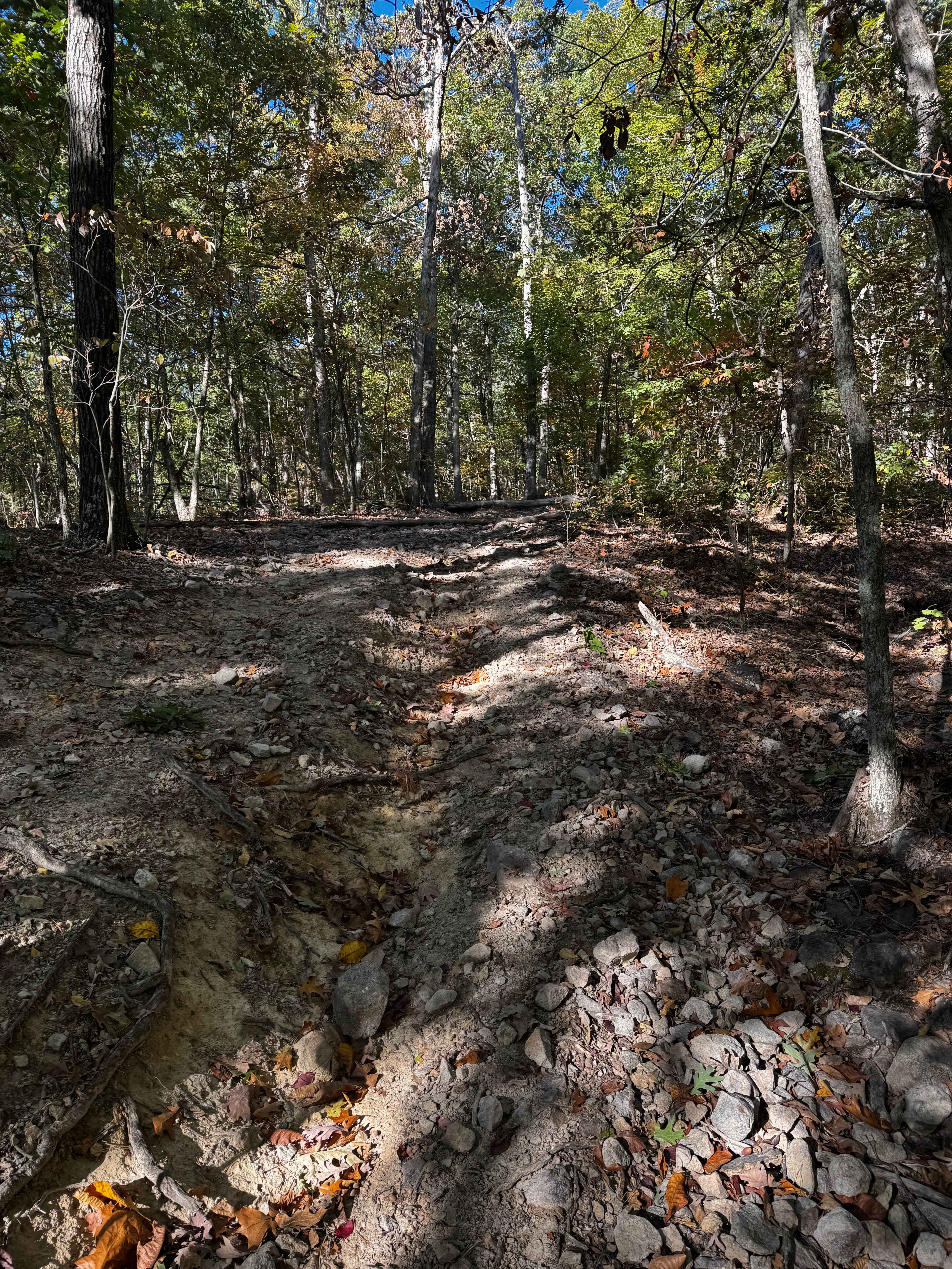
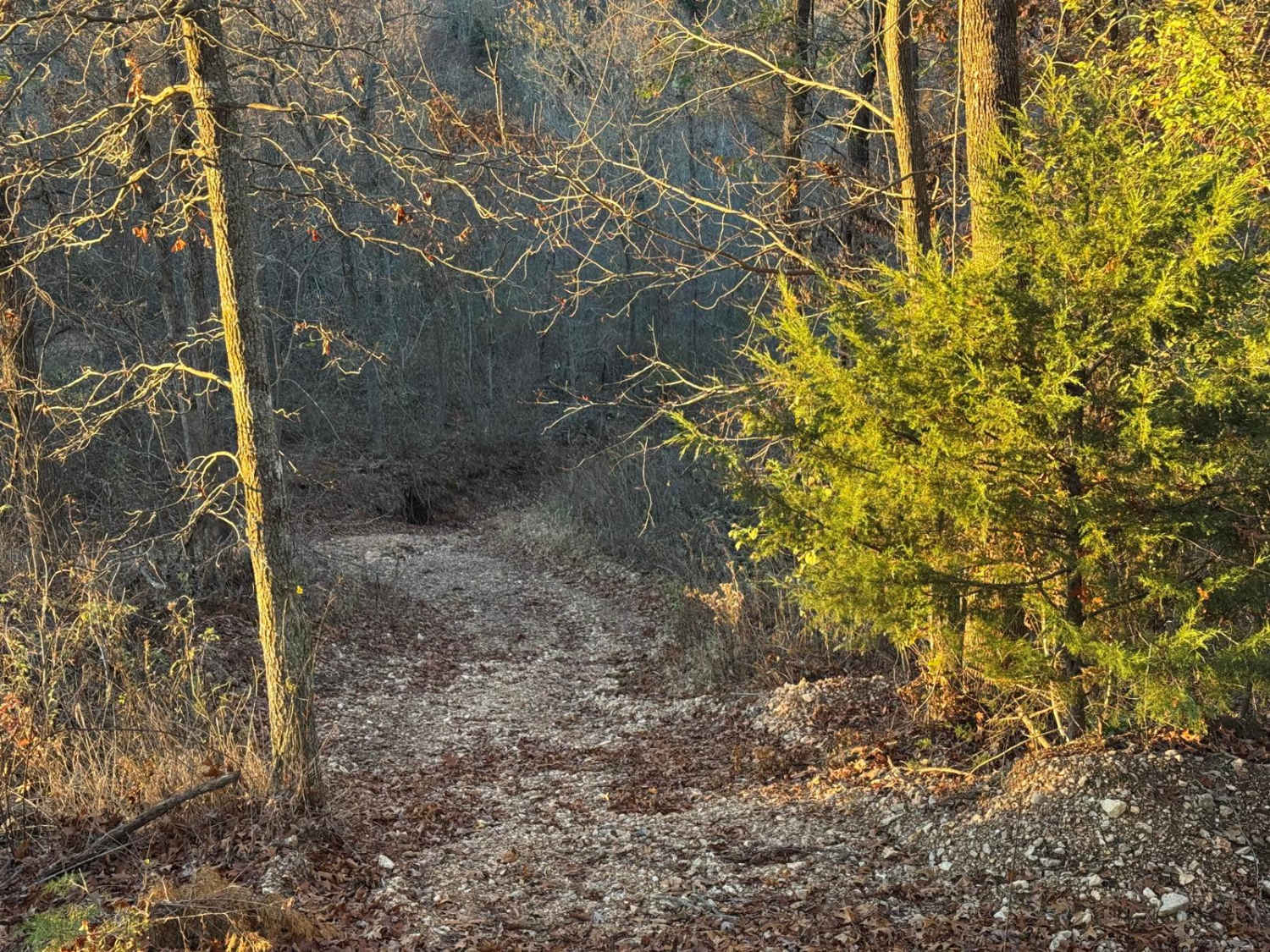
Bill Smith Hollow FSR 2064, is a naturally surfaced trail through the Fredericktown Sector of Mark Twain National Forest. This trail is a short trail that packs a punch, first, it begins on Madison County Road 408, in the bottoms near Captain Creek. The 408 fades into a mild natural trail shortly after it passes the last property on the right, soon the trail has a natural red dirt clay section that appears seemingly out of nowhere. After passing the clay section the trail progressively degrades to golf to softball-sized rock at its base to having some bigger rocks scattered throughout with small ledges and washed-out ruts as you climb up the main grade this trail rests on. In the middle section of the trail, to the north of the trail, there is a valley, with what appears to be a feeder creek leading to the bottoms on the west end of the trail, and to the south, there is a steep grade uphill. The last section of the trail then descents down a near-equal grade on the opposite side of the hill with more ledges, ruts, and erosion washes to the tail end of the forestry route, there is a small feeder creek that offers a decent turnaround to spin a vehicle around and head back out at 37.45797, -90.46447.
Photos of Bill Smith Hollow FSR 2064
Difficulty
The difficulty in this trail is in the larger loose rock, scattered throughout the trail, mixed with a moderate grade up and down the hill, off-camber ruts, erosion washes, and steep drops-offs with a generally narrow trail. Pinstripes are very likely. The hard rock sections require picking wise lines to avoid loosing traction or dragging on the rocks, be warned Missouri rock is sharp, and limit wheel spin if possible to avoid shearing or sidewall damage to tires. Some spots feature hard lines and easy lines where the trail widens, which can feature up to 18-24" ledges. In the event of wet conditions and rain, this trail does get wet, muddy, and slick, especially in the red clay section, water collection spots tend to form and can be up to a foot deep, the difficulty does increase reasonably in these conditions.
Status Reports
Bill Smith Hollow FSR 2064 can be accessed by the following ride types:
- High-Clearance 4x4
- SUV
- SxS (60")
Bill Smith Hollow FSR 2064 Map
Popular Trails
Big Oooof

Yellow 56

Ridgeline Road
The onX Offroad Difference
onX Offroad combines trail photos, descriptions, difficulty ratings, width restrictions, seasonality, and more in a user-friendly interface. Available on all devices, with offline access and full compatibility with CarPlay and Android Auto. Discover what you’re missing today!