Funk Tower Road
Total Miles
1.2
Technical Rating
Best Time
Spring, Summer, Fall, Winter
Trail Type
Full-Width Road
Accessible By
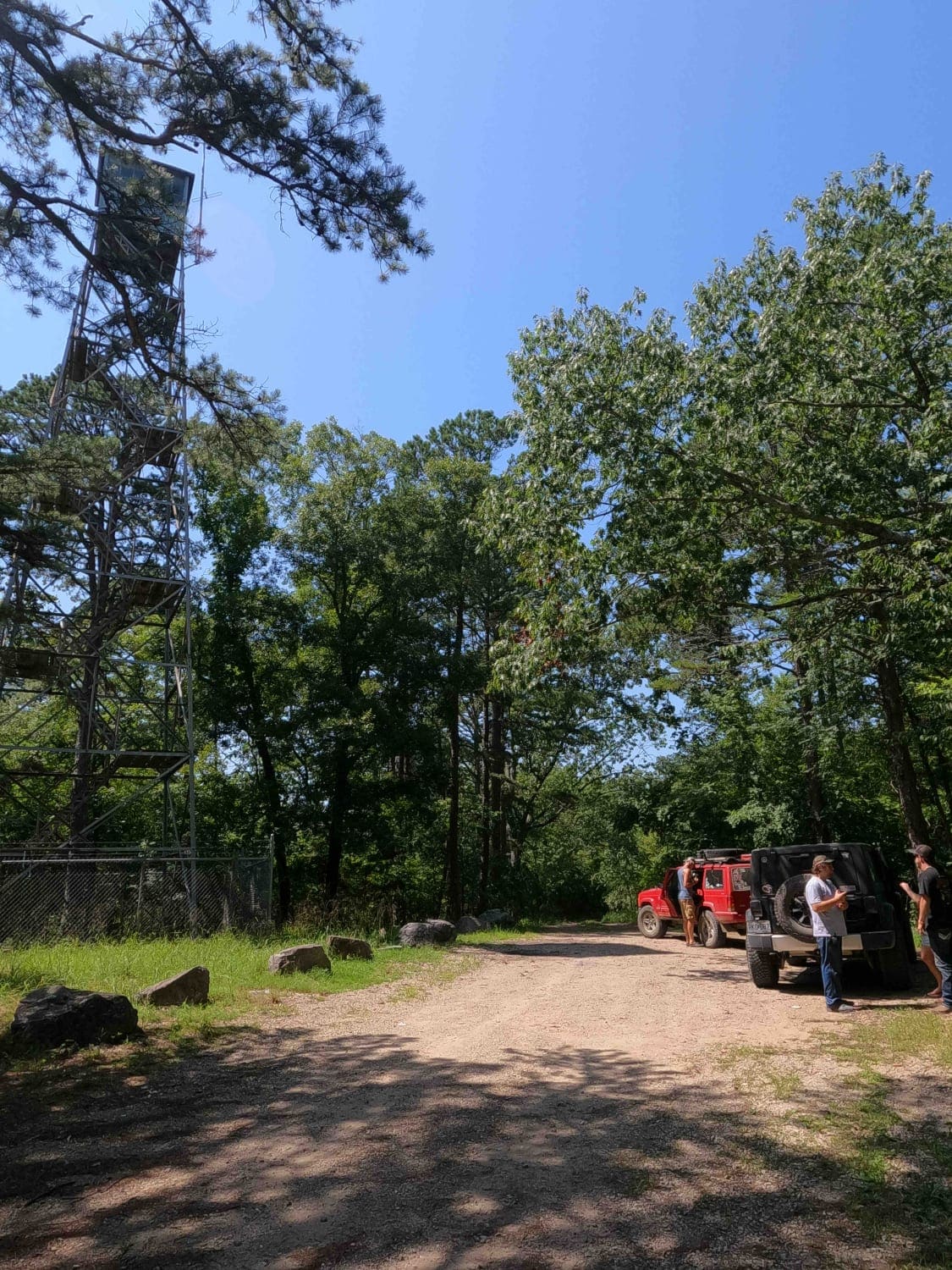
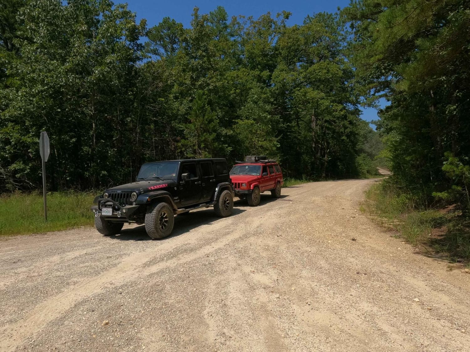
Trail Overview
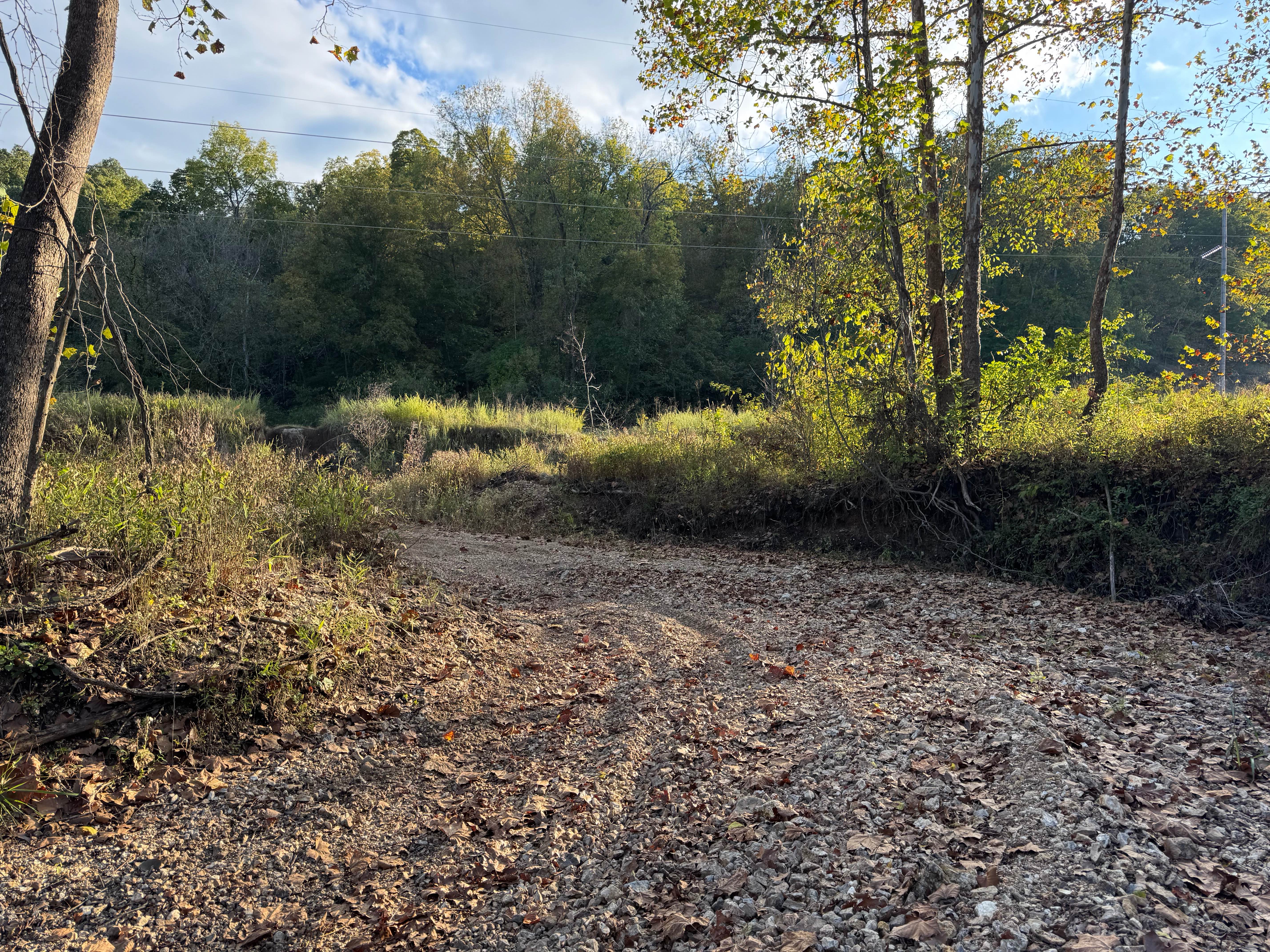
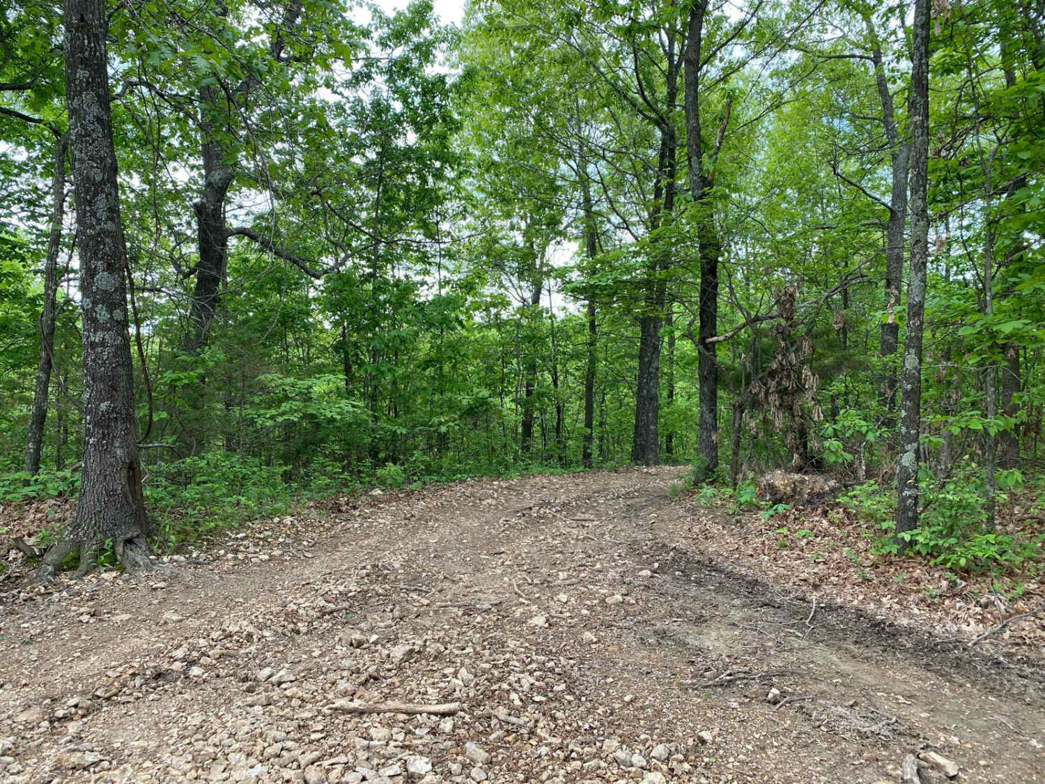
Funk Tower Road is a gravel access road on the Missouri Department of Conservation's Riverside Conservation Area land and is near the neighboring Funk Memorial State Forest and Wildlife Area land, the two plots total 530+ acres of land. The general purpose of the road is to provide access up to the still-standing (as of 9-2023) Firetower and parking lot for exploring the area on foot. The placement of this CA is NEE of the Black River Bottoms Corps of Engineers area and provides a side landmark to see in the area. The road is mostly mild but features a few ruts and erosion along its climb to the hilltop. If you go past the tower to the turnaround loop there is also a small water collection spot there. Outside of this, it is a great scenic landmark of the area that shows the history and old ways of life of the Missouri Ozarks region and surrounding forests.
Photos of Funk Tower Road
Difficulty
The Funk Firetower Road is a great entry level road to get your tires dirty, it features the normal gravel road complications such as mounding, washboarding, and potholes, but with the mild grade uphill, can include erosion ruts, washes, and water collection spots, but these are usually all at a mild level, but enough to make some pull the 4wd lever for assurance. Given a 2/10 for the washes, ruts, and water collection spot at the loop. In full mended condition it rides more like a 1/10, but with heavy rain and wet conditions could elevate to more especially with a longer maintenance cycle.
History
The Clearwater Lake earth embankment dam was designed by the U.S. Army Corps of Engineers to provide water supply, recreation, and flood control to the surrounding local area. Construction on the dam was originally started in 1940 but was not completed until 1948 due to the Second World War.
Status Reports
Funk Tower Road can be accessed by the following ride types:
- High-Clearance 4x4
- SUV
Funk Tower Road Map
Popular Trails
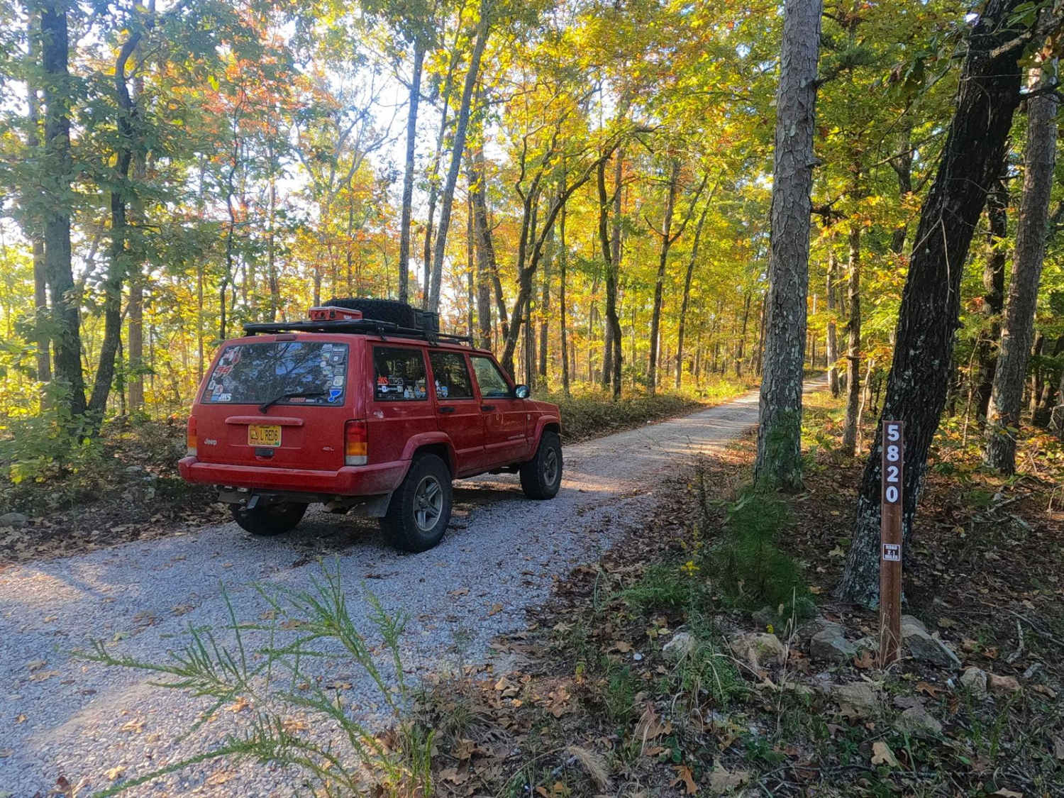
Emmatrude - FS 5820

Barely Hung Trail
The onX Offroad Difference
onX Offroad combines trail photos, descriptions, difficulty ratings, width restrictions, seasonality, and more in a user-friendly interface. Available on all devices, with offline access and full compatibility with CarPlay and Android Auto. Discover what you’re missing today!