Bald Road to Western Road
Total Miles
13.3
Technical Rating
Best Time
Spring, Summer, Fall, Winter
Trail Type
Full-Width Road
Accessible By
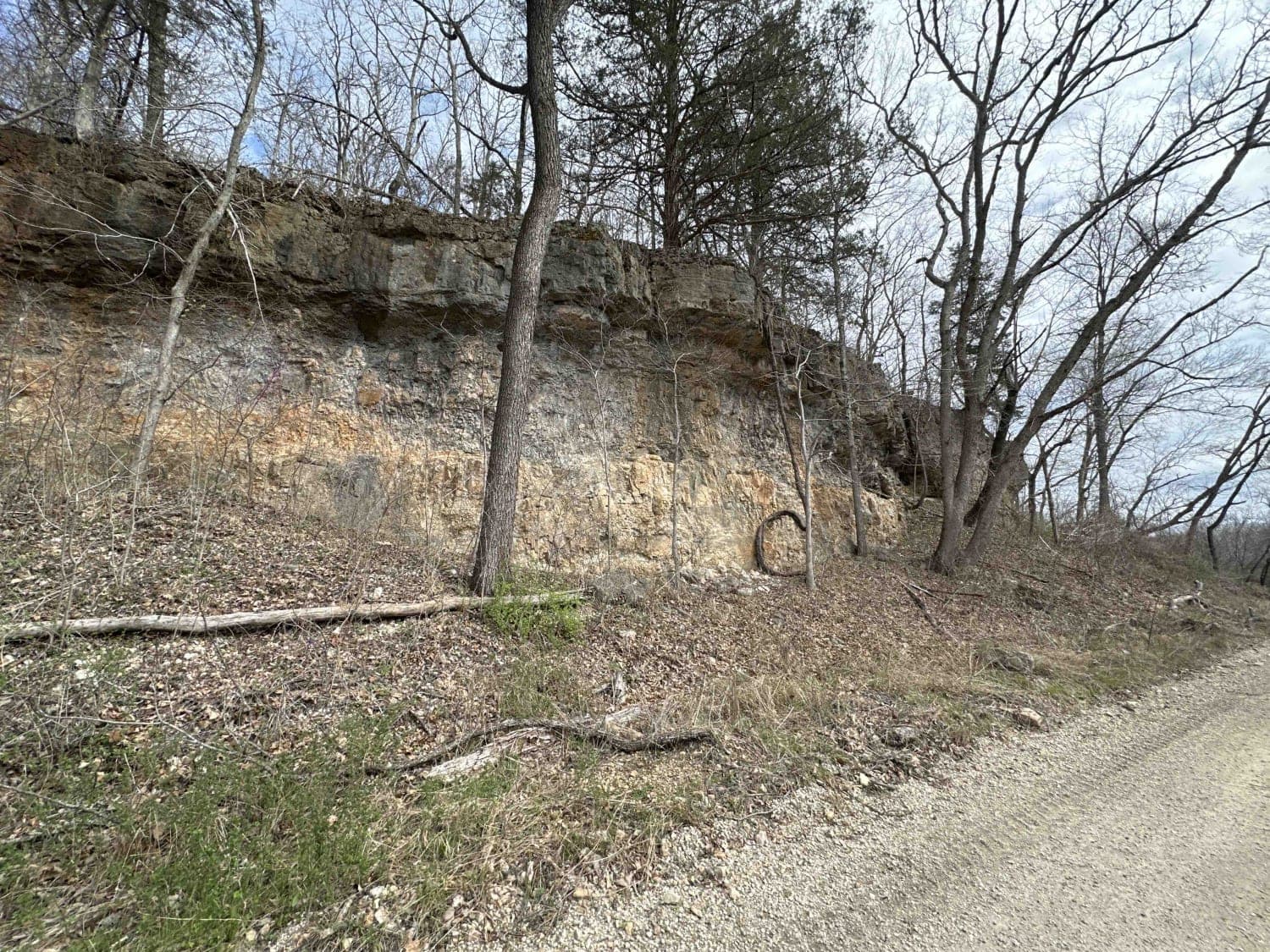
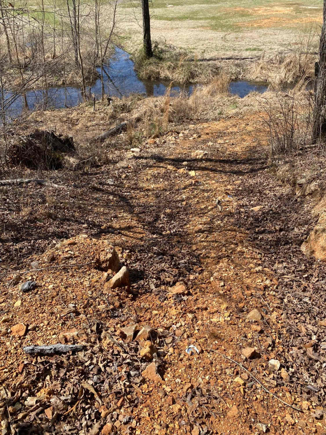
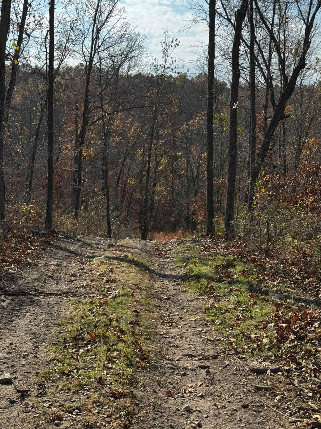
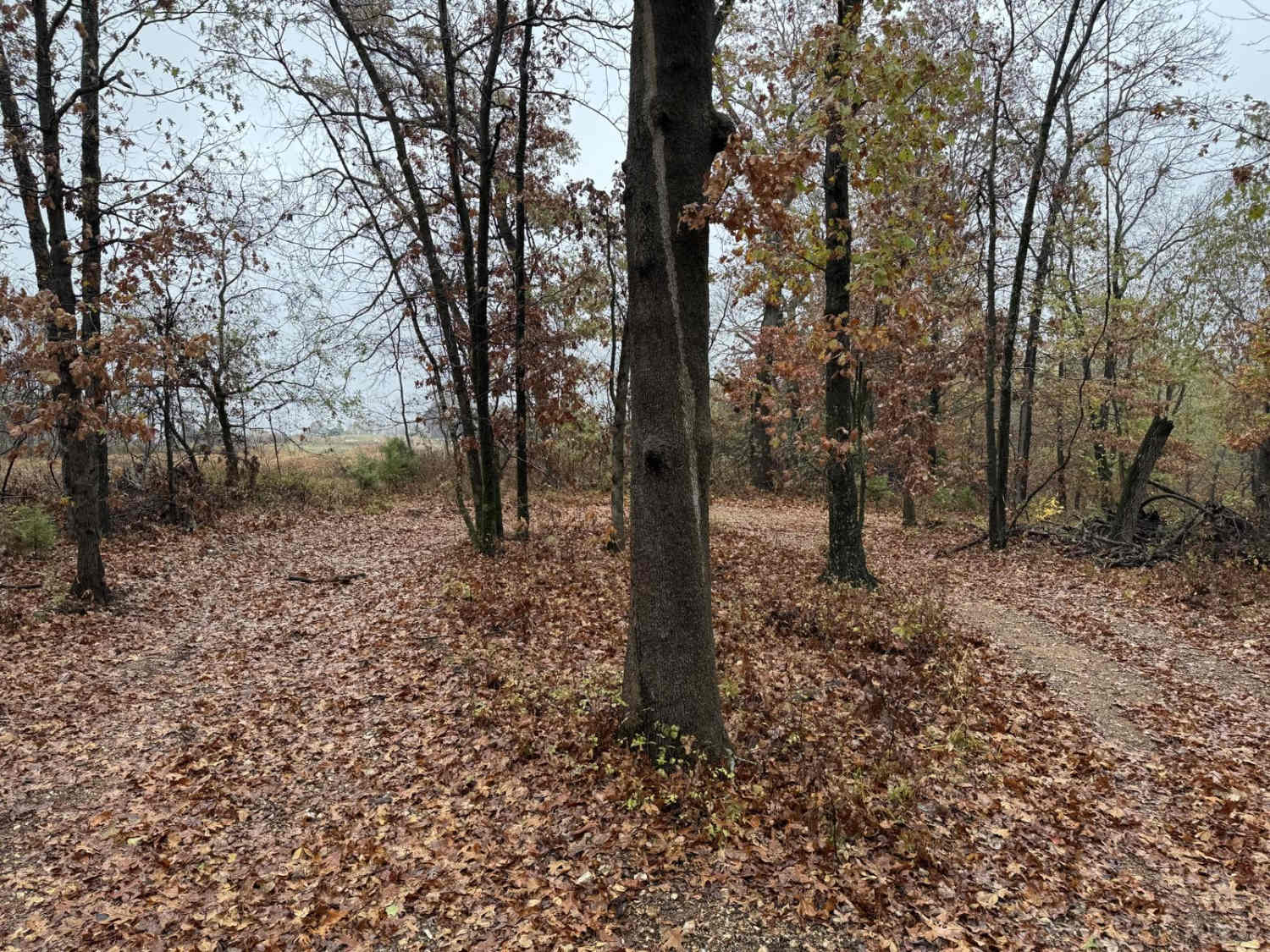
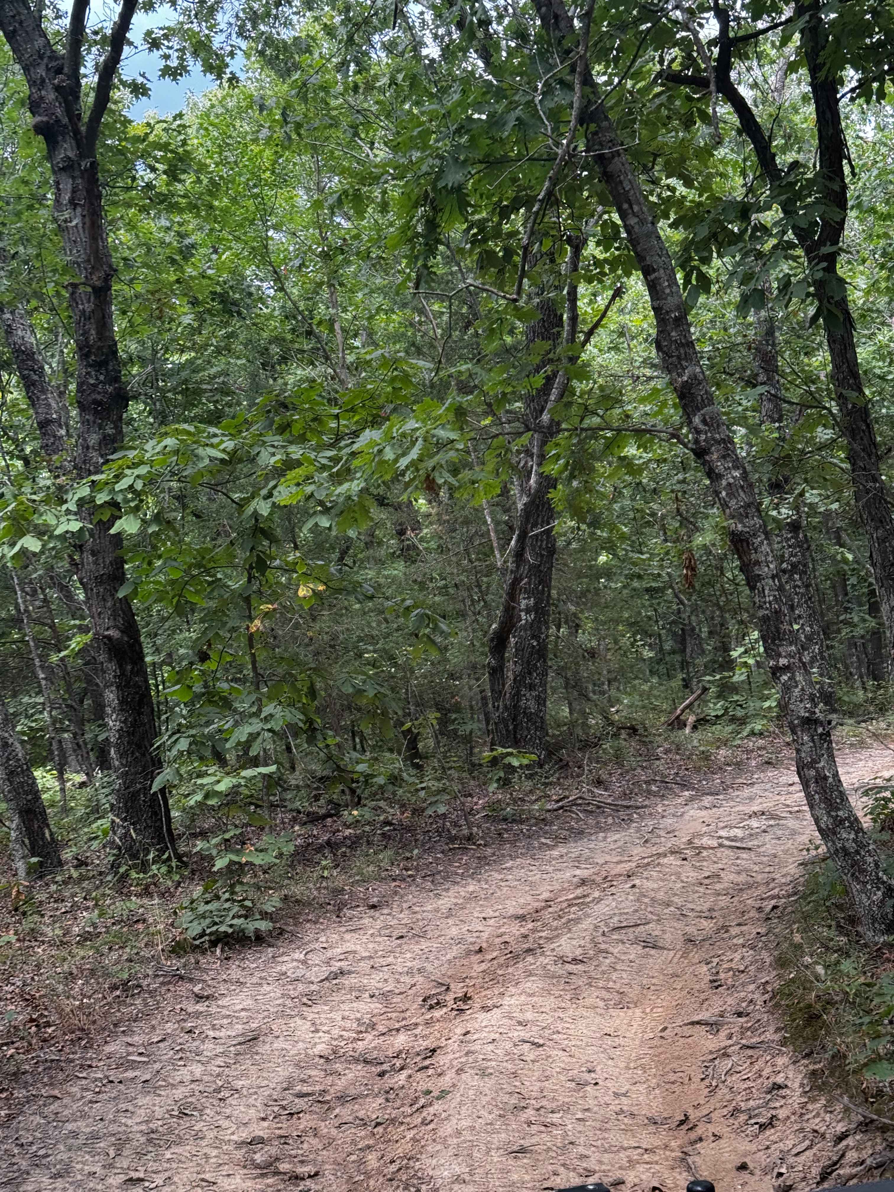
Trail Overview
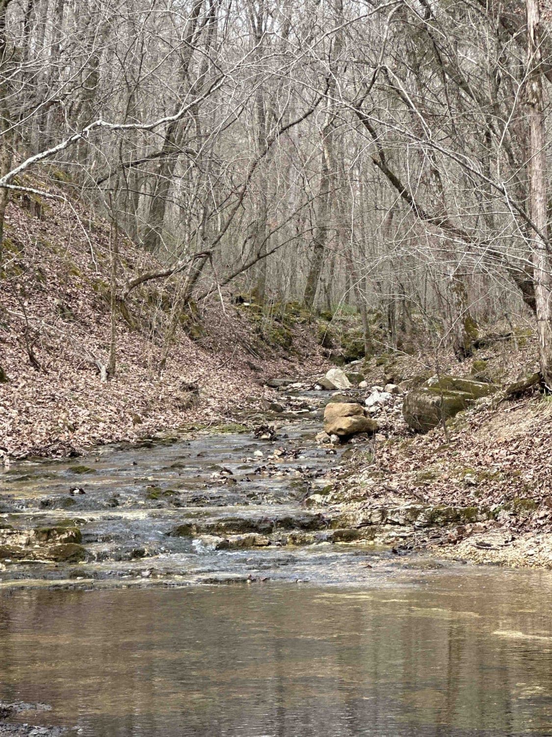
This is part 3 of 5 on a trip around Fort Leonard Wood, Missouri. Here, you get into more of the Mark Twain National Forest. There will be several low-water crossings (they will all be impassable during high water).
Photos of Bald Road to Western Road
Difficulty
Expect several low-water crossings. These flood after most rain events, so beware of the conditions before going. Turn around if it's too deep; it's not worth the tow bill or your life.
Status Reports
Bald Road to Western Road can be accessed by the following ride types:
- High-Clearance 4x4
- SUV
Bald Road to Western Road Map
Popular Trails
Commitment Hill Climb Extra Credit
Ridge Run North
The onX Offroad Difference
onX Offroad combines trail photos, descriptions, difficulty ratings, width restrictions, seasonality, and more in a user-friendly interface. Available on all devices, with offline access and full compatibility with CarPlay and Android Auto. Discover what you’re missing today!