Oyster Bar Bend
Total Miles
0.6
Technical Rating
Best Time
Spring, Summer, Fall, Winter
Trail Type
Full-Width Road
Accessible By
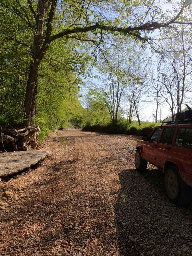
Trail Overview
Oyster Bar Bend, or the former Head Ford, is an unimproved road that follows the edge of the St Francis River within the Coldwater Access Missouri Department of Conservation land. The road begins as a spur off Wayne County 302, right after the point the 302 crossing into the MDC Coldwater Access land. It quickly proves its unimproved side, traversing over coarse river gravel, loose sand sections, sand and rock berms, small water collection spots, and muddy spots. Parts of the road are ever-changing due to the river and flooding, but the road will never deliberately cross large water sections or the river itself. In fact, the fun of this road is getting to the lower southern point of the gravel bars without touching water, it is advised to scout ahead on foot and make sure that the established route is open and passable. The lower southern point is a noticeable spot, when water levels are average or lower, listen for the subtle whoosh and trickle of the downhill section of water that crosses through the exposed rocks within the river, creating a small rapid, making a very scenic and therapeutic spot. This is also where the trail gets its onX given name due to all the clam shells laying on the banks, which just shows off river science, how with time this bend the St Francis river has deposited logs, sand, and even collected the clams themselves, thus Oyster Bar Bend. It is up to the user base to preserve access to this road, respect it by using discernment as to when it the trail is too wet to drive on that will cause unnecessary damage, avoiding the potential large bodies of water on the trail, staying out of the river, and by not expanding the track to places it does not belong. Simply put, practice Tread Lightly principles and stay out of the water.
Photos of Oyster Bar Bend


Difficulty
Oyster Bar Bend is given a 4/10 rating, featuring loose sand sections being soft, soupy, and unpacked, along with natural coarse gravel on the bars and shoreline, being loose and unpacked in spots, with berms, whoops, and ramps of mounded gravel being 6" to 24" tall, with short steep hills along the track, with sections having smaller water collection spots in the path, these being 6"-18" deep where the pathway tracks, anything about this should be deemed to deep to cross and the rest of the road closed as to not cause damage to jeopardise access or towards the natural habitat of the the area.
History
In the 1938 and 1949 Coldwater, Missouri topo map of the area, a landmark associated with the existence of Oyster Bar Bend can be seen under the name Head Ford. It was a former sanctioned crossing of the St Francis River at roughly 37.306, -90.466. Being placed right at the northern entry of Oyster Bar Bend's track where it faces the river straight ahead, this was the Head Ford location. By the 1980 topo, the Head Ford notation had been removed from the map, lost at an unknown time between 1949 and 1980.- Christopher Menz (2/2025)
Oyster Bar Bend can be accessed by the following ride types:
- High-Clearance 4x4
- SUV
Oyster Bar Bend Map
Popular Trails
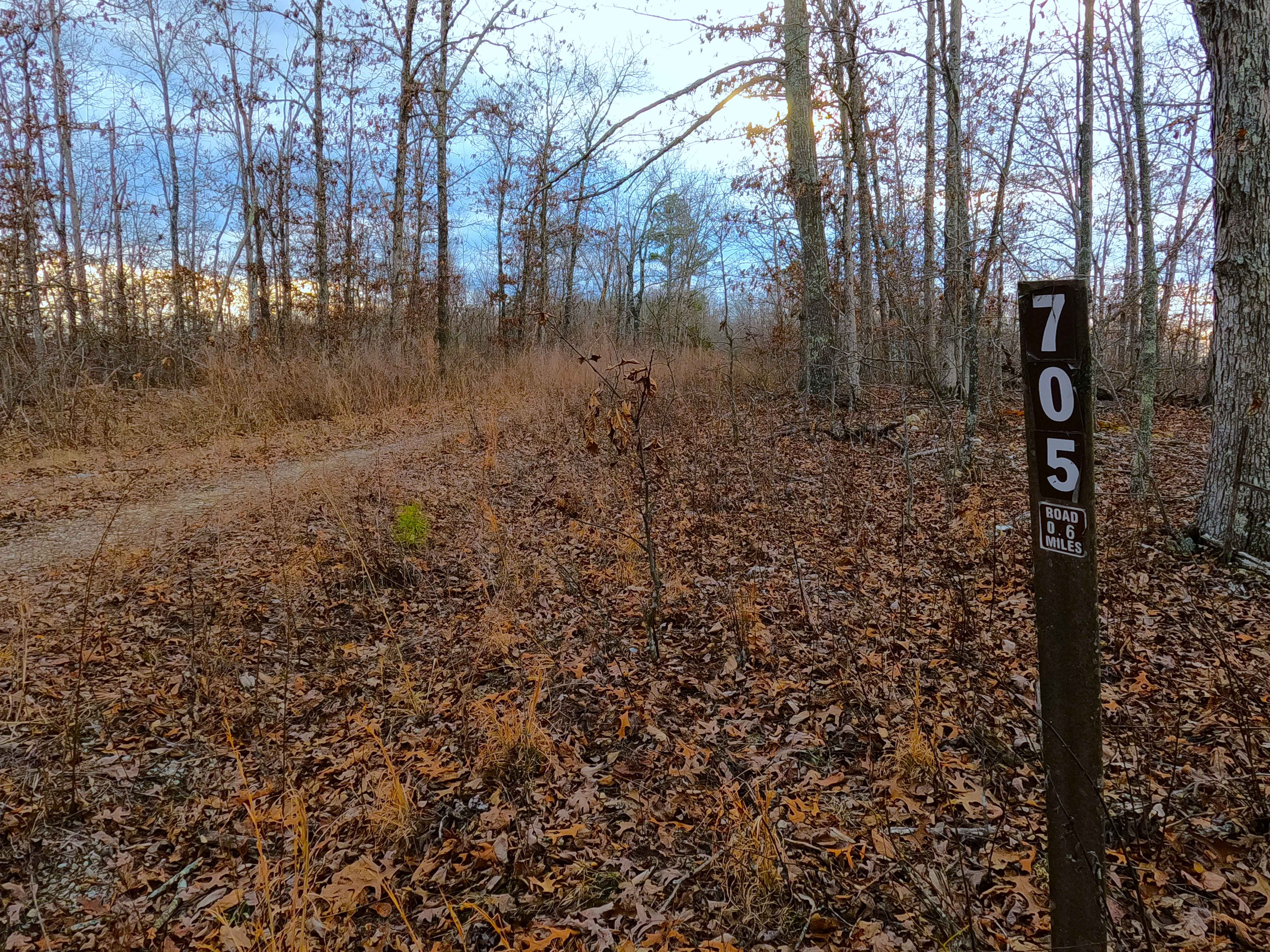
Section 8 - FS 705

Curb Rash
Lovejoy Creek Road

Sutton Bluff ATV 10 - SB 10
The onX Offroad Difference
onX Offroad combines trail photos, descriptions, difficulty ratings, width restrictions, seasonality, and more in a user-friendly interface. Available on all devices, with offline access and full compatibility with CarPlay and Android Auto. Discover what you’re missing today!