High Ridge - FS 3750
Total Miles
3.5
Technical Rating
Best Time
Summer, Fall, Winter
Trail Type
Full-Width Road
Accessible By
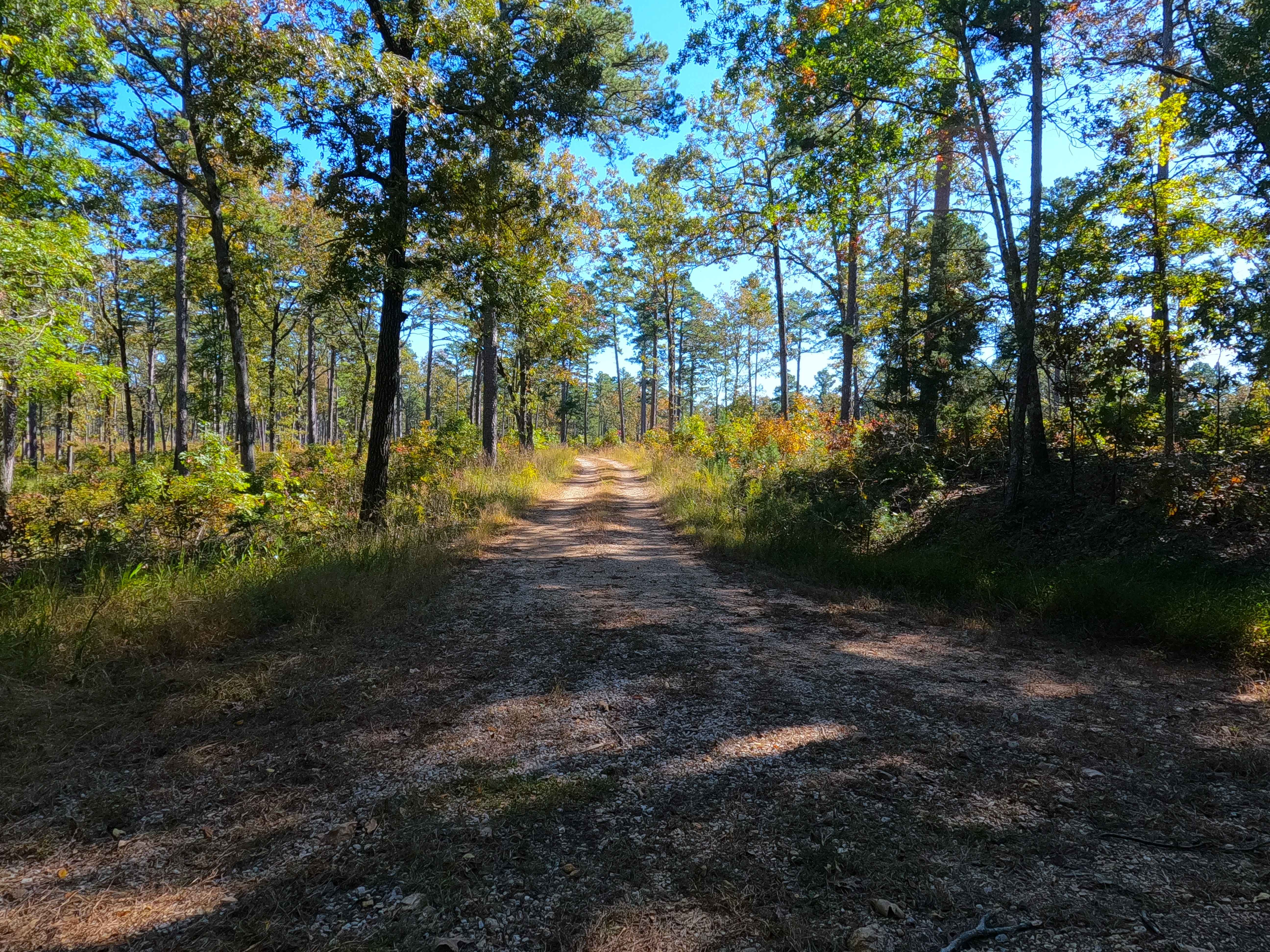
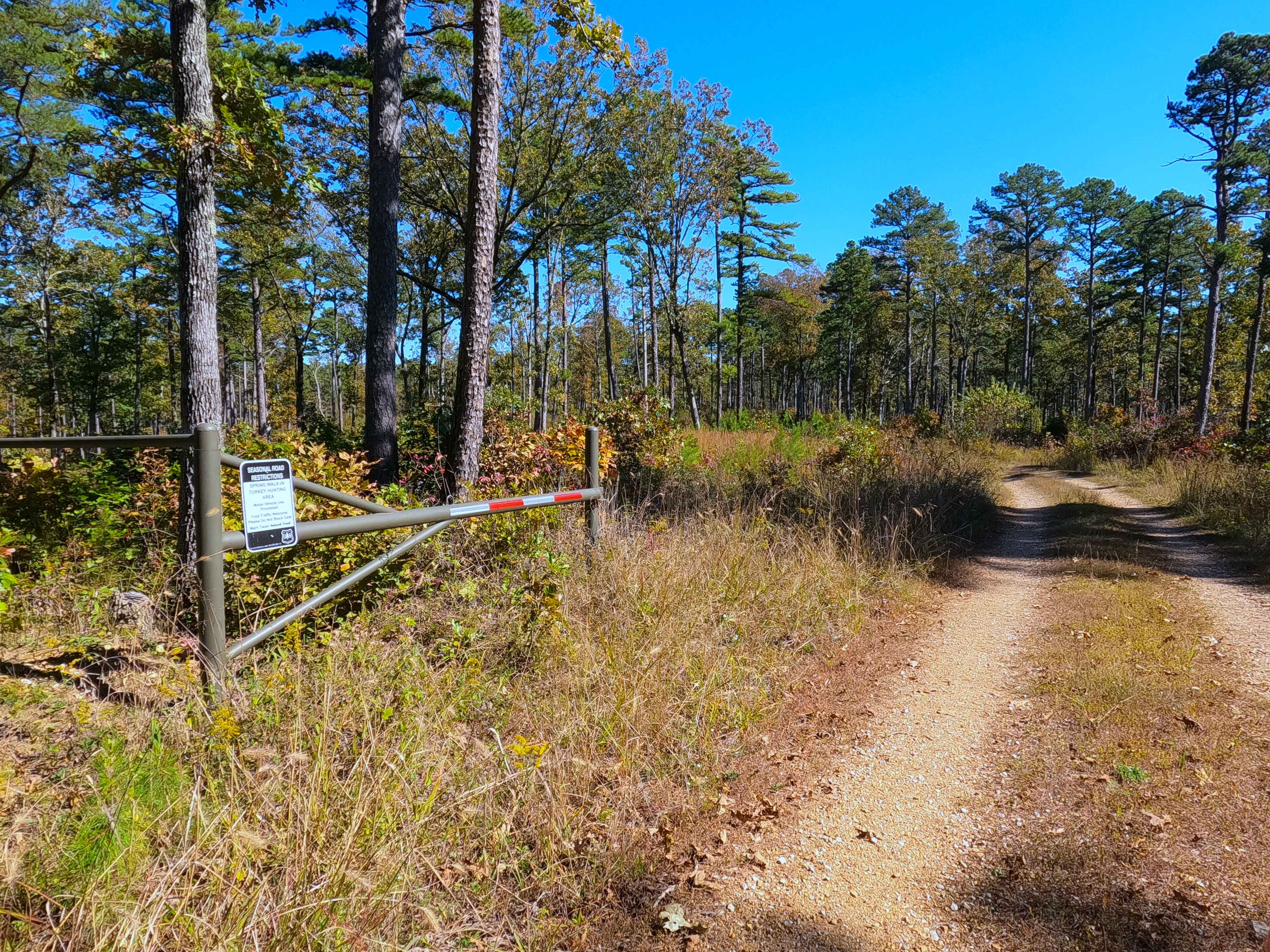
Trail Overview
High Ridge (FS 3750) is a semi-maintained gravel forest service road within the Poplar Bluff Unit of Mark Twain National Forest, with seasonal open dates of 6-1 to 3-14 yearly. The High Ridge Road begins leaving the Wayne County Road 426, heading east past a closure gate, onto the ridge road, lined with tall pines along the route passing the FS 3735 to the north side of the track, flowing into the middle section of the track following the subtle elevation changes of the path and ridge, before climbing the far east hill, and dropping downhill on the opposite side to the entry of the FS 3750B going south where the High Ridge turns north to eventually conclude at an small opening and turnaround loop marking the end of the MVUM Sanctioned Road, where users must turn around and head back the way they entered.
Photos of High Ridge - FS 3750
Difficulty
High Ridge is given a 1/10 base rating for having mildly graded elevation changes with a consistent, dirty gravel path throughout, having only mild forms of erosion on the hills, with the expected gravel road complications in potholes, washboarding, and mounding of the gravel. Difficulty can increase in seasons of wet and inclement conditions, through lack of maintenance or heavy use.
Status Reports
High Ridge - FS 3750 can be accessed by the following ride types:
- High-Clearance 4x4
- SUV
- SxS (60")
- ATV (50")
- Dirt Bike
High Ridge - FS 3750 Map
Popular Trails
Rocky Top - FS 2663

Yellow 316

Eastwood Drive
The onX Offroad Difference
onX Offroad combines trail photos, descriptions, difficulty ratings, width restrictions, seasonality, and more in a user-friendly interface. Available on all devices, with offline access and full compatibility with CarPlay and Android Auto. Discover what you’re missing today!