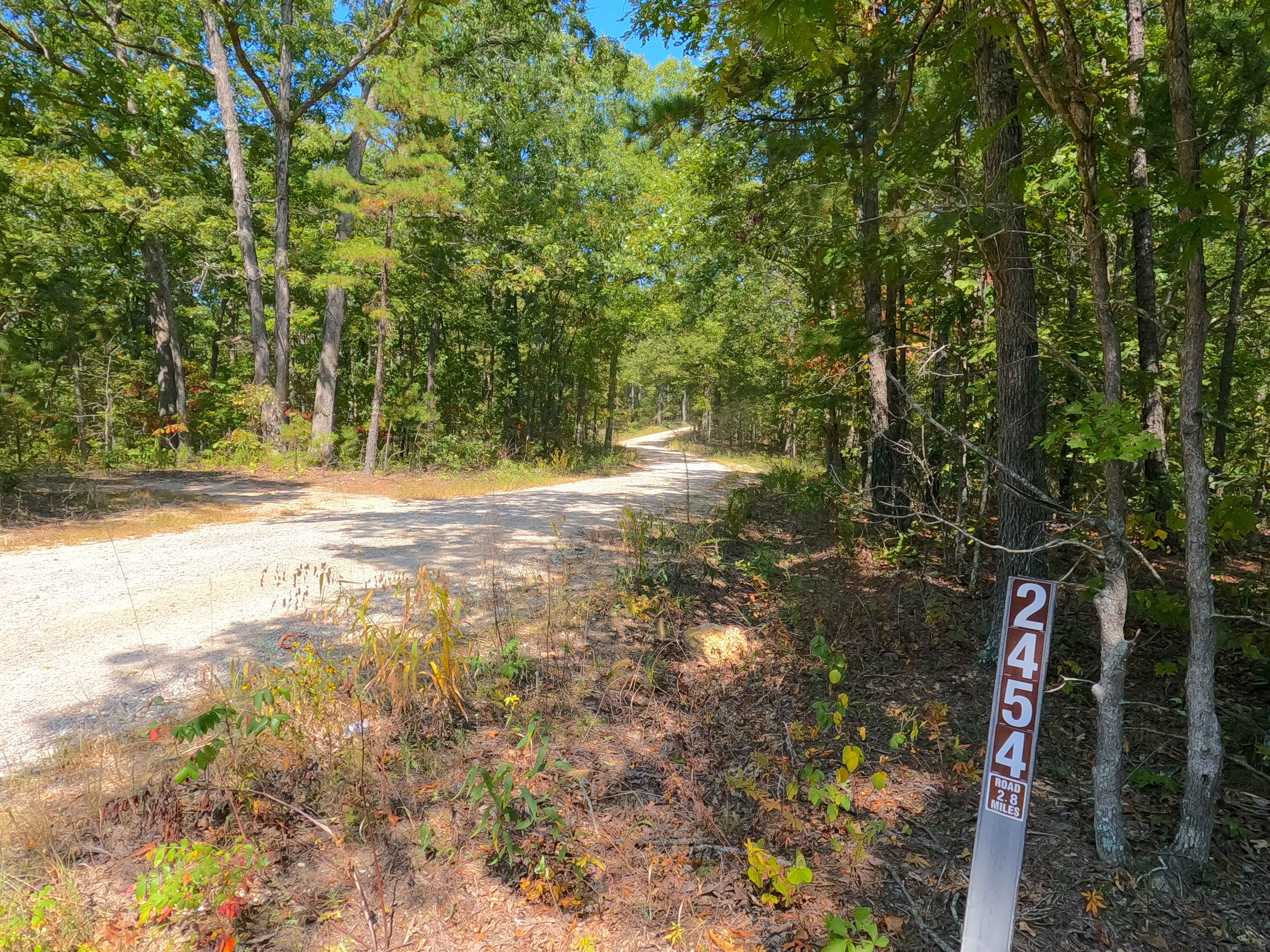
Hickory Grove Church - FS 2454
Total Miles
2.8
Technical Rating
Best Time
Spring, Summer, Fall, Winter
Trail Type
Full-Width Road
Accessible By
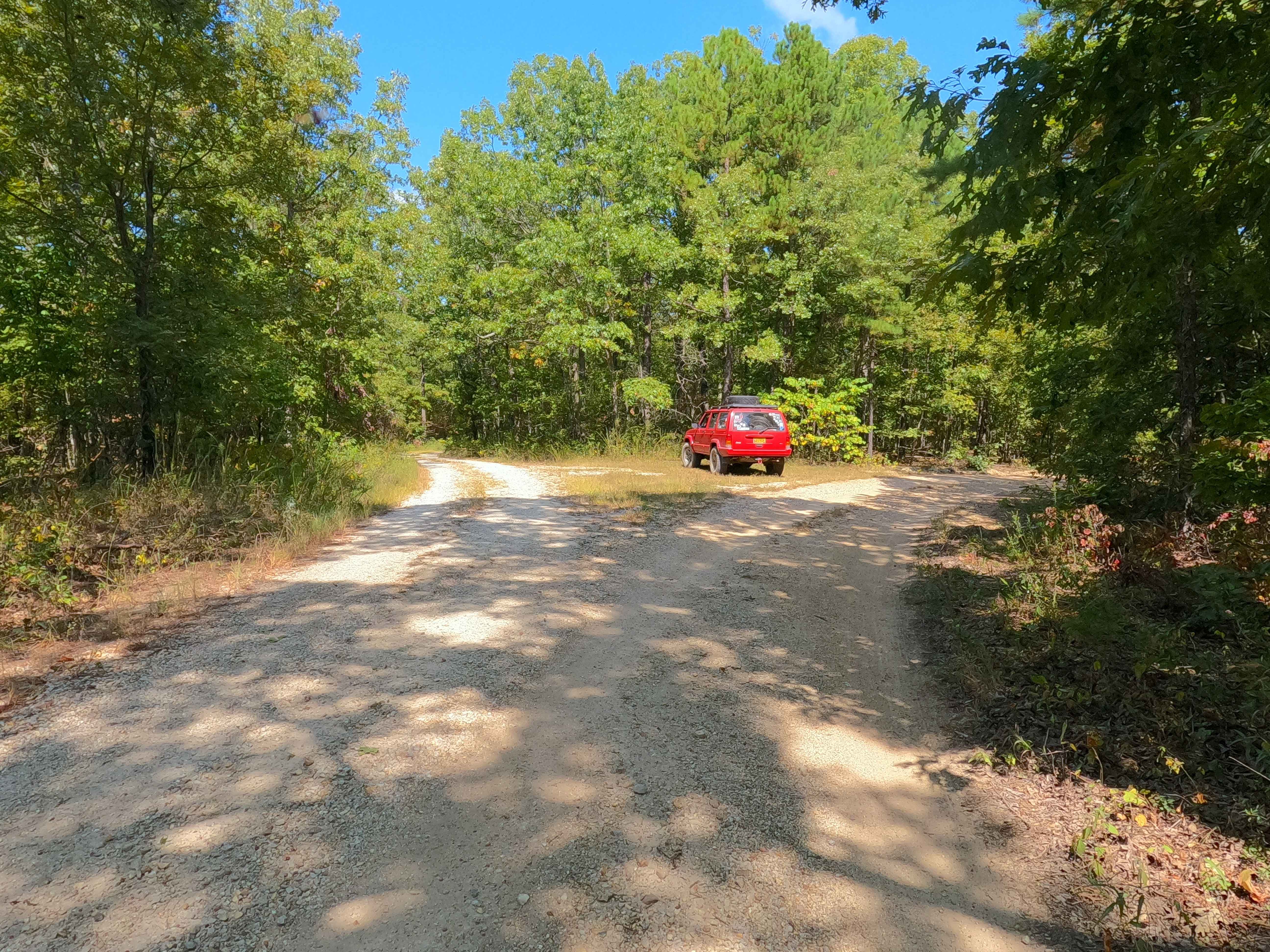
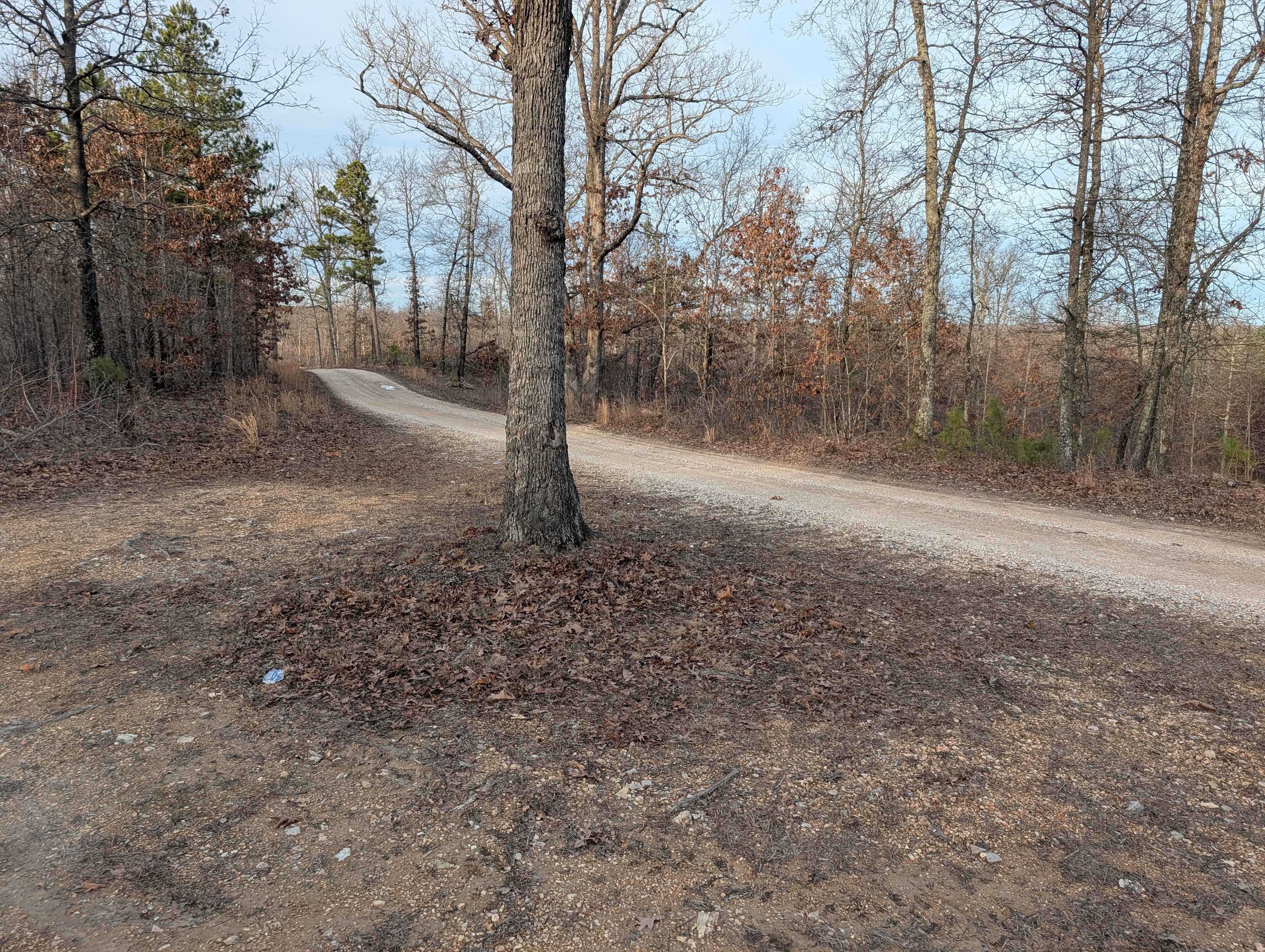
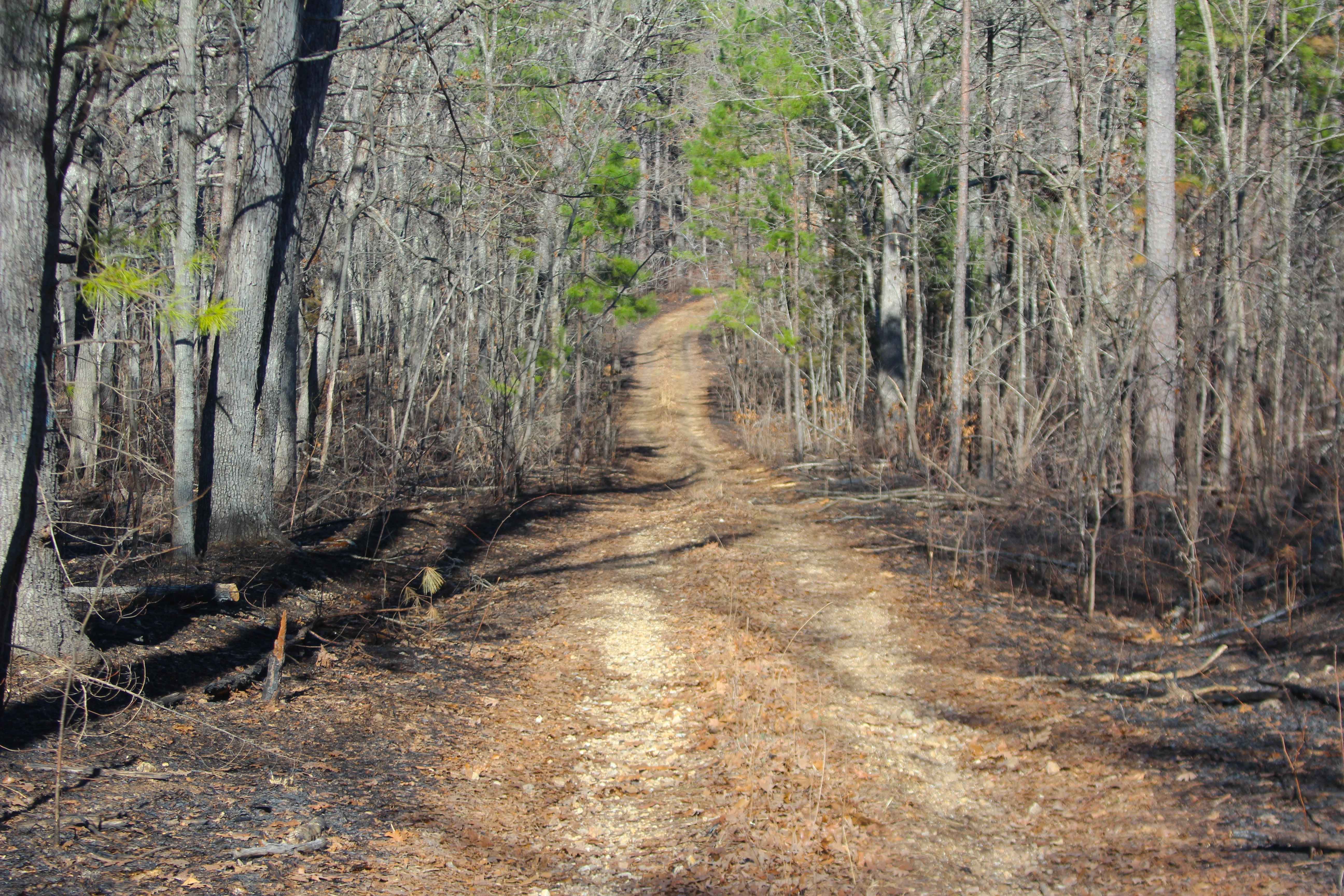
Trail Overview
Hickory Grove Church (FS 2454), or the C L Medley Road, is a semi-maintained gravel road within the Mark Twain National Forest Potosi Unit. The Hickory Grove Church is a generally smooth, scenic road with graceful curves and slight elevation changes along its track. The road is very purposeful; it is used to logistically connect two main roads in the area, Missouri Route 32 and the Frank Bay Iron County Road 1, all while remaining on gravel and off the pavement. The road is a scene that is lined with trees from end to end, and generally speaking, a well-kept forest floor, not uncommon to see deer and other animals. Not so unfamiliarly, the Hickory Grove Church (FS 2454), does not go to the actual church, but rather is placed to the east, running parallel to the Hickory Grove (CR 82), which actually goes to the historic Hickory Grove Church, just another example where the National Forest names things misleadingly or confusingly, nonetheless a worthy road to know about when getting around this portion of Potosi Unit and Iron County.
Photos of Hickory Grove Church - FS 2454
Difficulty
FS 2454 is given a base rating of 1/10, being a semi-maintained gravel road, riding the spines of the ridge top, having mild hills, with spots of small active erosion, soft spots, and potential of surface mud, small loose cobbles, and natural rock poking out at the surface. It is safe to expect all the normal gravel road complications of washboards, mounding, and potholes. The difficulty could increase due to a lack of maintenance or extremely wet and inclement conditions.
History
In the hunting season of November 2025, when discussing roads of the area with local hunters Ken and Tom (these two brothers having spent over 35 years hunting and camping in this one area), confidently one brother said "we've walked this whole area, we know where every road goes, and every valley lies." the other brother nodded along, confirming the claim. They then brought up the Hickory Grove Church Road, saying "For years that road was just nothing, not worth spending time trying to get through with a truck", then one year around a decade ago, they returned for another fall hunting season, and the road had transformed, "smooth gravel had been placed all the way through, and since then it has been kept better than the Iron County Roads." Looking at old topos, this would seem to line up with the old maps, the roads pathway following the ridges is pretty spot on to the current road all the way back to the 1943 Boss Topo, and in the 1967 East Viburnum Topo, showing more the same except the double dashed line became a single dash line, suggesting that more in line with a single track, recreational, or hiking trail and lacking an ID number. But with the 1999 East Viburnum Map, the road seemed to change, showing the double line motorized double track road designation, and the ID number of 2754. But then the road had an interesting change in the following editions of 2011, 2015, and 2017 East Viburnum topo maps, the majority of the center section of the road, was illustrated again as a single dash path, as if it fell apart and was not road worthy to claim on the map, but then once again in the currently newest 2021 edition of the East Viburnum Topo, the road was given back it's motorized double dash line road designation on the map. Not too far off from Ken and Tom's memory of "around 10 years ago." Documented By Christopher Menz 12/2025
Status Reports
Hickory Grove Church - FS 2454 can be accessed by the following ride types:
- High-Clearance 4x4
- SUV
- SxS (60")
- ATV (50")
- Dirt Bike
Hickory Grove Church - FS 2454 Map
Popular Trails
Karakaghne Scenic Drive
Blooming Rose - FS 1503

Outer Limits
Hidden Pond Spur A - FS 2607A
The onX Offroad Difference
onX Offroad combines trail photos, descriptions, difficulty ratings, width restrictions, seasonality, and more in a user-friendly interface. Available on all devices, with offline access and full compatibility with CarPlay and Android Auto. Discover what you’re missing today!