Guard Rail
Total Miles
0.5
Technical Rating
Best Time
Spring, Summer, Fall
Trail Type
High-Clearance 4x4 Trail
Accessible By
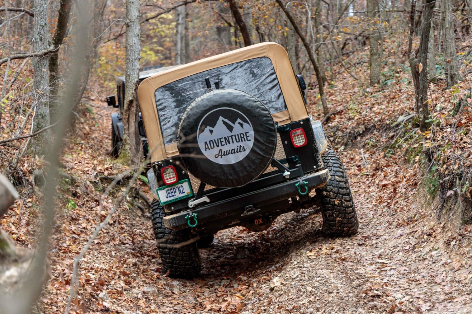
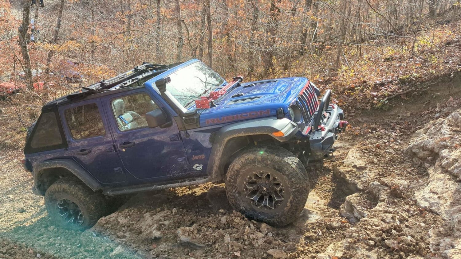
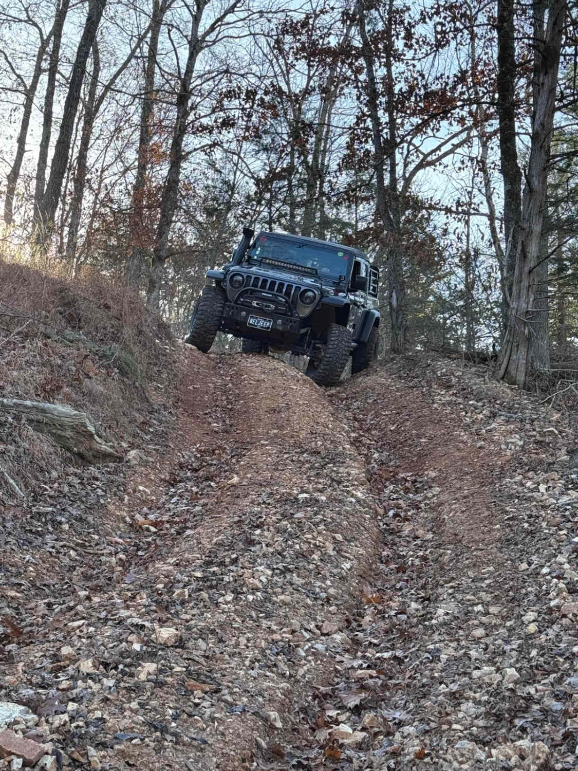
Trail Overview
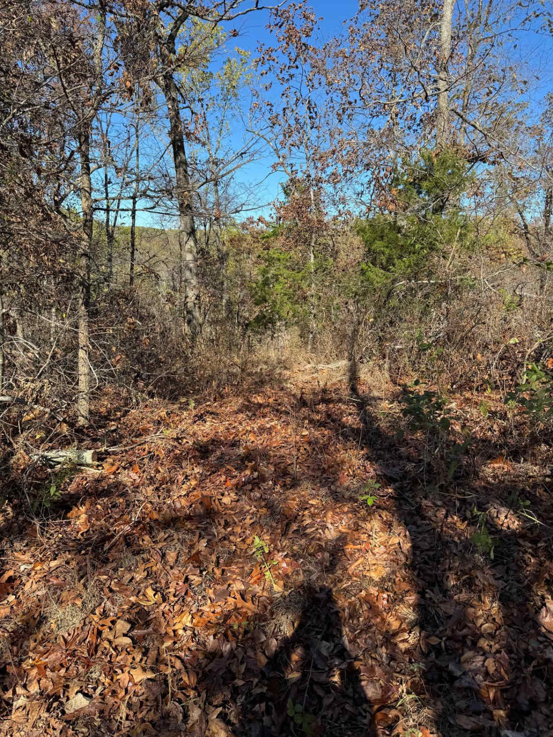
There is a steep descent at the beginning of the trail. About halfway down the descent, there is a ledge that requires quite a bit of ground clearance. Once down to the bottom, the trail runs along a rocky creek bed. There are not any ledges or drop-offs along the creek bed. The trail exits out of the creek bed via a moderate hill climb.
Photos of Guard Rail
Difficulty
The hardest parts on the entire trail are the hill descent into the creek bed and the hill coming out. A Jeep on 37-inch tires rubbed its frame rails on the ledge on the initial descent into the trail.
History
This is a Jeep Badge of Honor Trail. The trail exit used to be very difficult but has since been graded.
Status Reports
Guard Rail can be accessed by the following ride types:
- High-Clearance 4x4
Guard Rail Map
Popular Trails
Yellow 239

Kanes Candy Lane
James Branch - FS 2741
Thorn Bush Hill 130
The onX Offroad Difference
onX Offroad combines trail photos, descriptions, difficulty ratings, width restrictions, seasonality, and more in a user-friendly interface. Available on all devices, with offline access and full compatibility with CarPlay and Android Auto. Discover what you’re missing today!